Pete's Walks - West Wycombe and Nanfan Wood (page 3 of 7)
If you are considering walking this route yourself, please see my disclaimer. You may also like to see these notes about the maps and GPX files.
I turned left, but after just a few yards along Boss Lane I turned right through a gate and followed a path that ran between fences and gradually climbed uphill through a wood. It wasn't too steep and didn't seem as long as I remembered. I was looking forward to seeing the view when I reached the path crossroads on the far side of the wood, but was bitterly disappointed when I eventually got there - there was a crop of maize about 7ft tall totally obscuring the view!
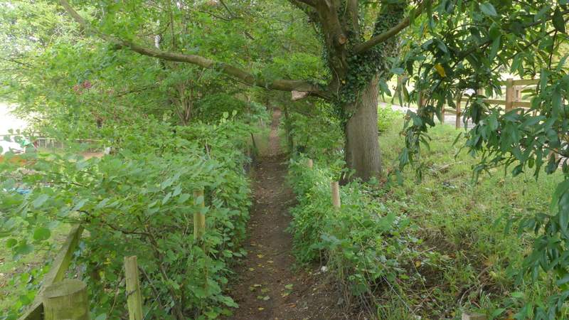
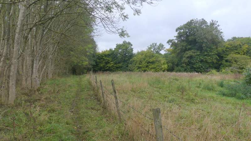
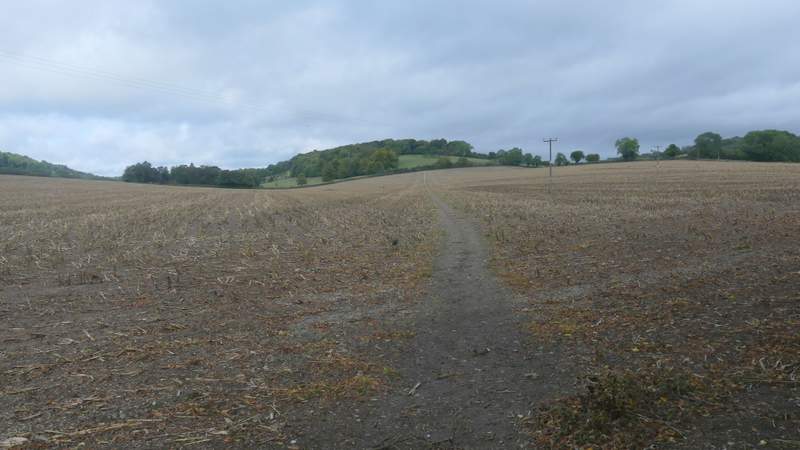
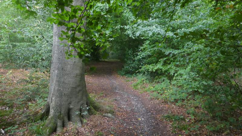
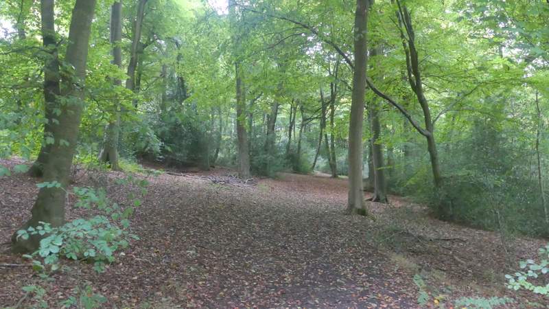
The path going north from Boss Lane
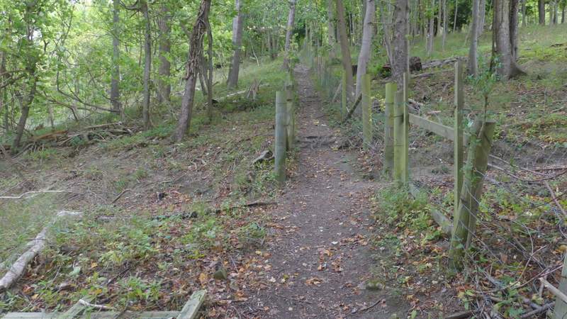
The path going north from Boss Lane
The path going north from Boss Lane
The path going north from Boss Lane
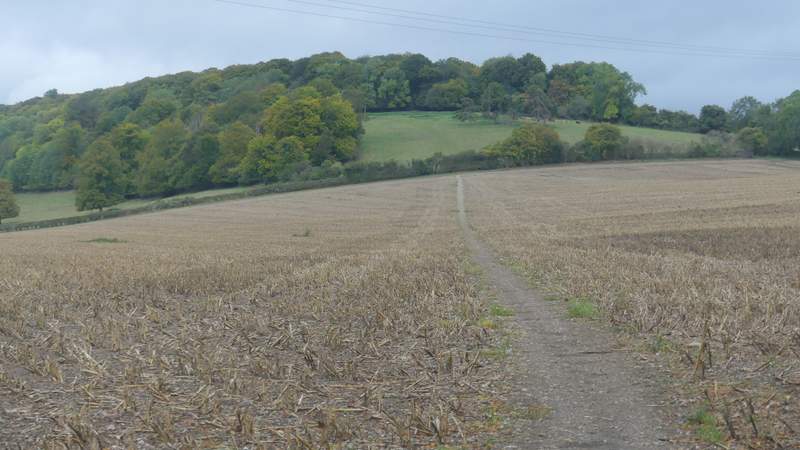
I turned left at the crossroads and followed a path towards Longrove Plantation. Fortunately there was a bit of a gap between the maize crop and the wood, so I got to see part of the view I'd been looking forward to seeing. The path continued on through the wood, and fairly soon was dropping quite steeply downhill - again, this didn't seem to be as long as I remembered. At the bottom of the slope I reached a street in the north of Hughenden. I crossed over and continued down an alley between houses. Through a gate, the footpath then crossed in front of The Harrow pub to another gate and a road.
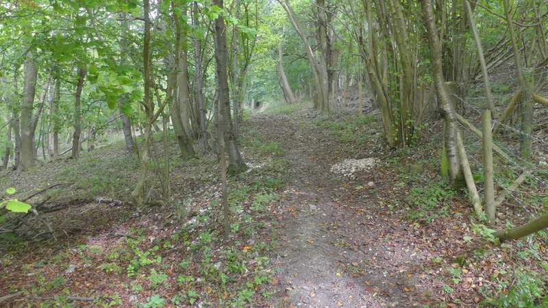
The path after I turned right at a path crossroads, heading to Longrove plantation
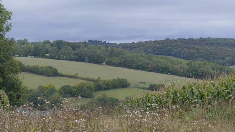
View right from the path to Longrove Plantation
Longrove Plantation
The path dropping steeply from Longrove Plantation to Hughenden
Across the road and a few yards to the right, I took another footpath that crossed a very large field with the remains of a maize crop in it. The path then climbed uphill through an irregularly shaped pasture (from a distance I'd seen a herd of cows lying down some way to the right of the path) to reach Piggott's Wood, where there were some good views looking back.
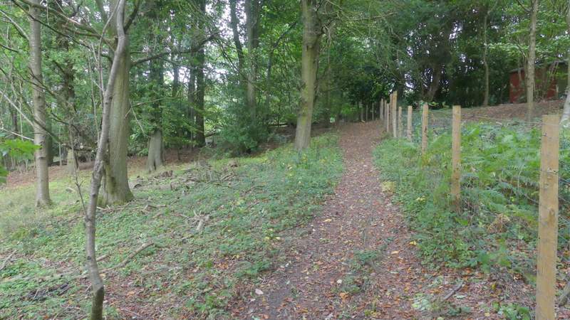
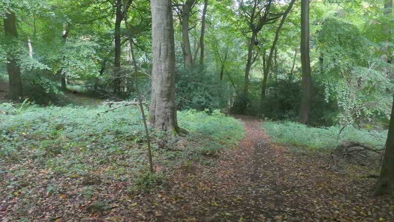
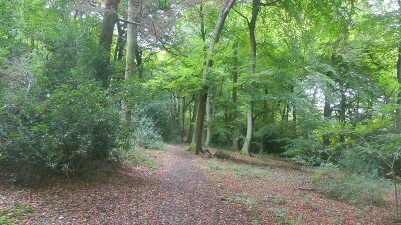
The path from Hughendon to Piggott's Wood
The path from Hughendon to Piggott's Wood

The path from Hughendon to Piggott's Wood
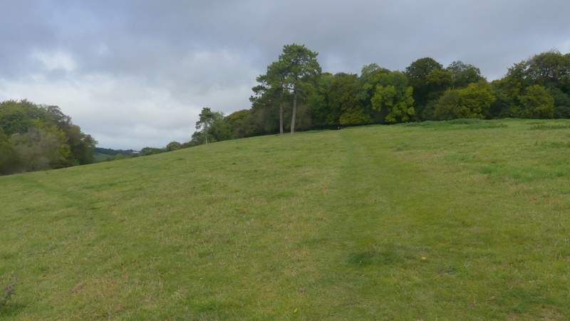
The path from Hughendon to Piggott's Wood
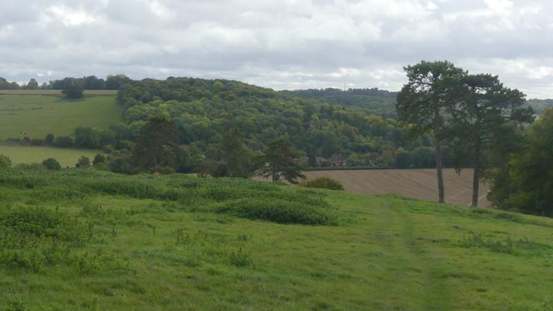
Looking back from near Piggott's Wood
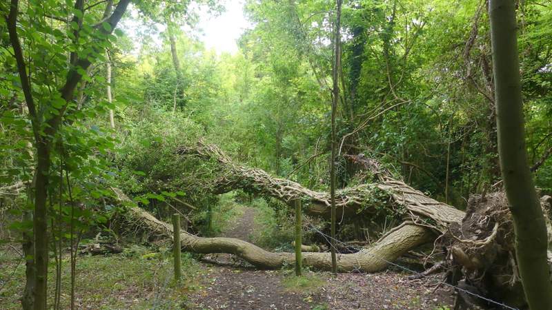
Just inside the wood the path went left. After a hundred yards or so I came to a way mark post where I took a path gong right. Again I very quickly reached another waymark post, where I now turned left (a faint and unofficial path comes straight here from the entrance to the wood). I now had to follow this path through Piggott's Wood for half a mile or so, to reach what the OS map shows as the second of two 'staggered crossroads'. I remembered that on at least one of the previous three times I'd been here I'd only noticed one of these junctions, so when I spotted a waymark post I wasn't sure if this was the first or second. At the second junction the map shows the 'stagger' to the right (i.e. you go right and then turn left, to go straight on) - it looked to me as if the path going right did turn left, but after I'd gone a few yards down it I saw I'd been mistaken and it just went straight downhill to a stile or gate on the edge of the wood. So I turned back and continued in the northerly direction I'd been going before (the map said I should go right and then left at this junction, but when I'd gone a little way right I hadn't seen a path going left and as I continued north I don't remember joining a path coming in sharply from the right). I soon came to a second junction - here the 'stagger' is to the left (and I know that's right) but today I wanted to turn right, the map showing that this path then quickly turns left. But in fact there didn't seem to be a right turn, instead the path just went straight on (a track did come in from the right after a while though). This was the start of the extension I'd added to my West Wycombe, Speen and Hughendon route and was the first part of today's walk that was new to me - but only until I reached a junction in the northernmost corner of the wood, where I turned right (onto the route of the Redland End and Bryant's Bottom walk I did in April 2015).
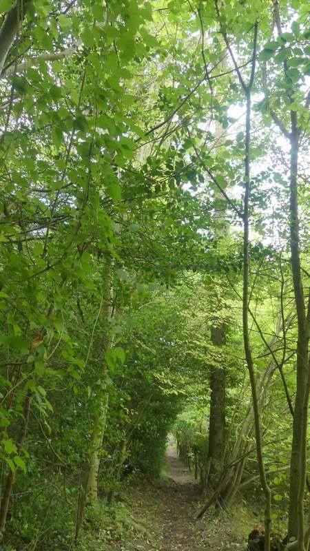
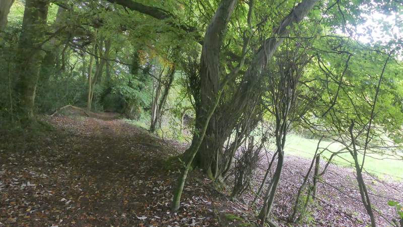
The path just inside Piggott's Wood, going left
The path through Piggott's Wood, after I turned left and then turned right
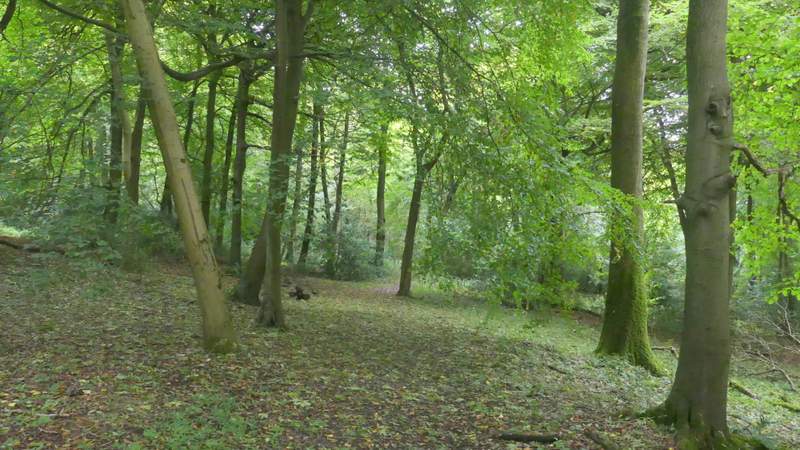
The path through Piggott's Wood
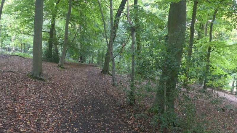
The path through Piggott's Wood
The path through Piggott's Wood
The path through Piggott's Wood (this is just after going straight on at what the OS map shows as a 'staggered' path crossroad)
The path through Piggott's Wood
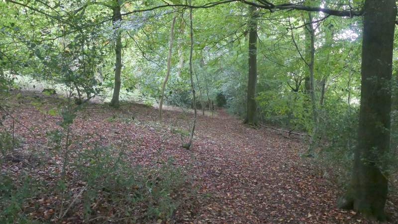
The path through Piggott's Wood