Pete's Walks - Alternative Ashridge Walk (page 3 of 7)
If you are considering walking this route yourself, please see my disclaimer. You may also like to see these notes about the maps and GPX files.
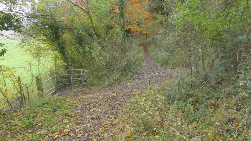
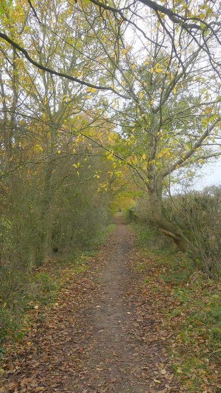
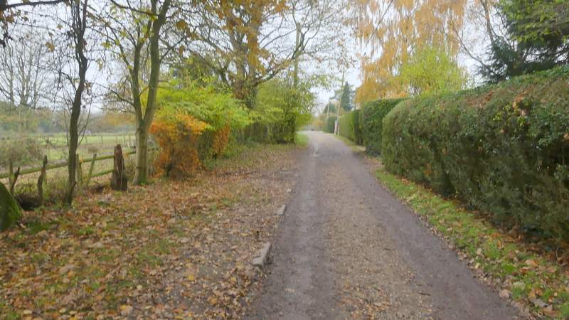
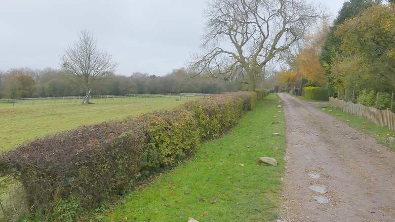
Immediately before the bridleway ended at New Road, I turned right along a path that dropped slightly downhill through more woodland. A few yards before this path reached a drive (to Well Farm) I turned right again, onto a path that is quite clear and obviously reasonably well-used though it's not shown at all on the OS maps (it's in an Open Access area, so I wasn't trespassing). The path runs just inside more woodland with fields a few yards to the left, heading NorthNorthwest before turning more Northwest. I've always assumed this was the western edge of Berkhamsted Common, but the OS map indicates that may cover the fields as well. After almost half a mile I passed a metal-kissing gate on my left - the OS map shows a footpath comes in from the left and turns left here (so as I went straight on I joined it), but a bridleway goes right (it seems a bizarre place for a bridleway to end or start). I continued ahead along the public footpath, still close to field on my left. After another half mile I came to another junction (I knew it was coming because it's by a tall hedgerow that comes in on the left, which I could occasionally see from a distance) where I turned left onto another public footpath (again another bridleway starts or ends here, which is odd).
The path after I turned right, immediately before the end of the bridleway
The next path after I turned right again, immediately before reaching a drive (to Well Farm)
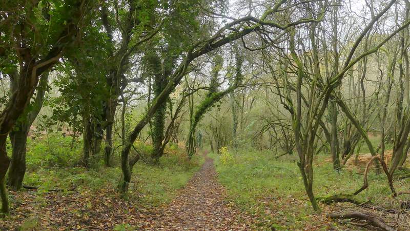
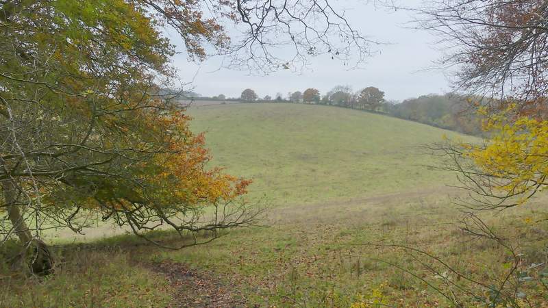
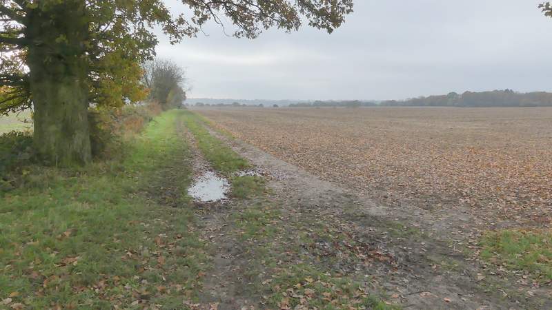
The path running just inside the western edge of Berkhamsted Common
The path running just inside the western edge of Berkhamsted Common
The path running just inside the western edge of Berkhamsted Common, where it becomes a public footpath (curiously, a footpath comes in on the left, but going right it's a bridleway)
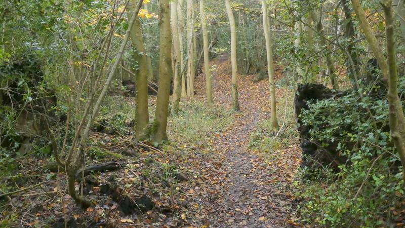
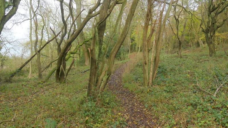
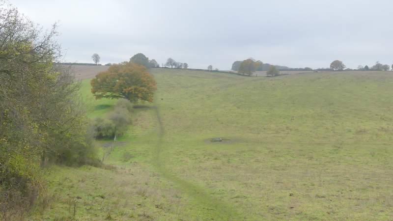
The footpath running just inside the western edge of Berkhamsted Common
The footpath running just inside the western edge of Berkhamsted Common
The footpath running just inside the western edge of Berkhamsted Common
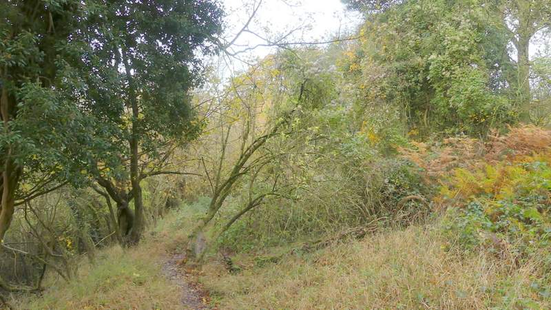
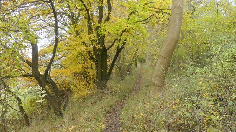
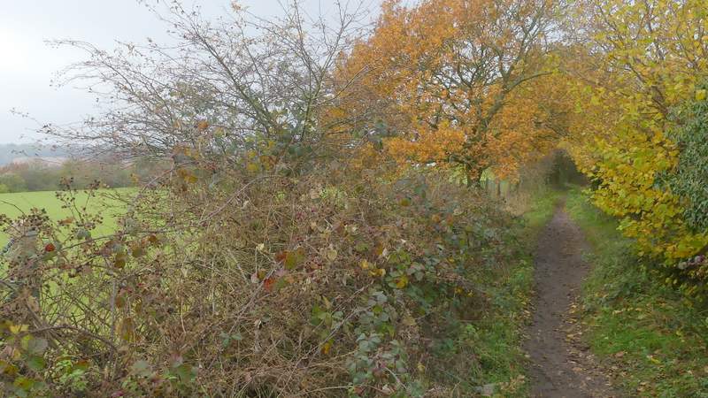
The footpath after I turned left (again this is a footpath, but going right from the junction it's a bridleway, according to the OS map)
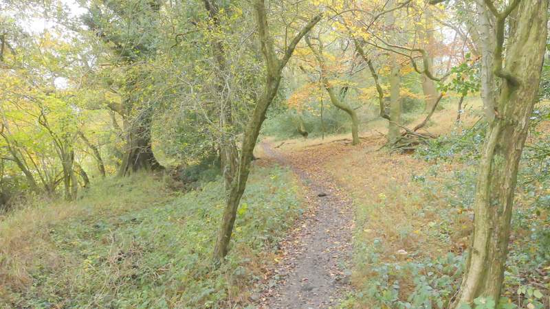
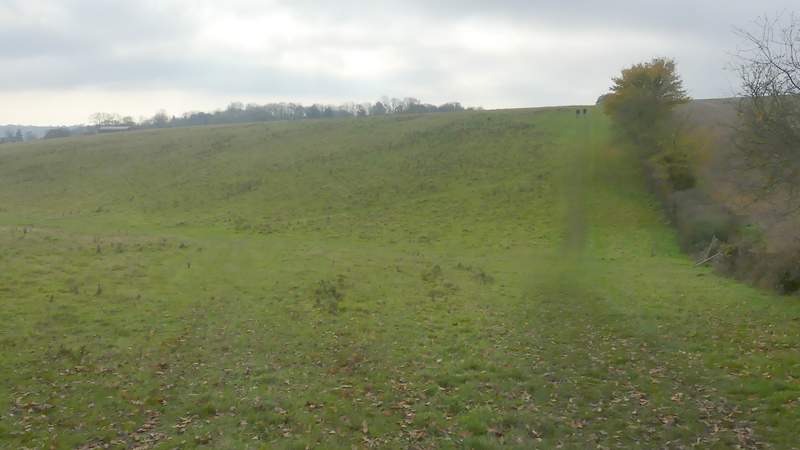
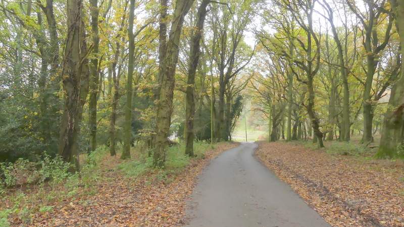
The path dropped down into a a valley bottom and started up the other side, following the tall hedgerow and a fence on my left through a large and empty paddock or pasture. Beyond this it levelled out as it continued in the same direction along the left edge of a ploughed field. It carried straight on along the left edge of two more ploughed fields (there was a bench at a path crossroads where these fields met, and another one in the hedgerow on the left a bit further on - the first one is new since I last came this way, the other one I've sometimes used for my lunch stop when I do this walk in the opposite direction). The path then switched to the left of the hedge as it continued down and up a small valley through another large grassy field.
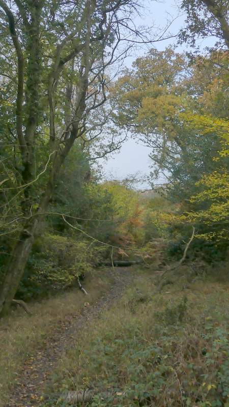
A little further along the path
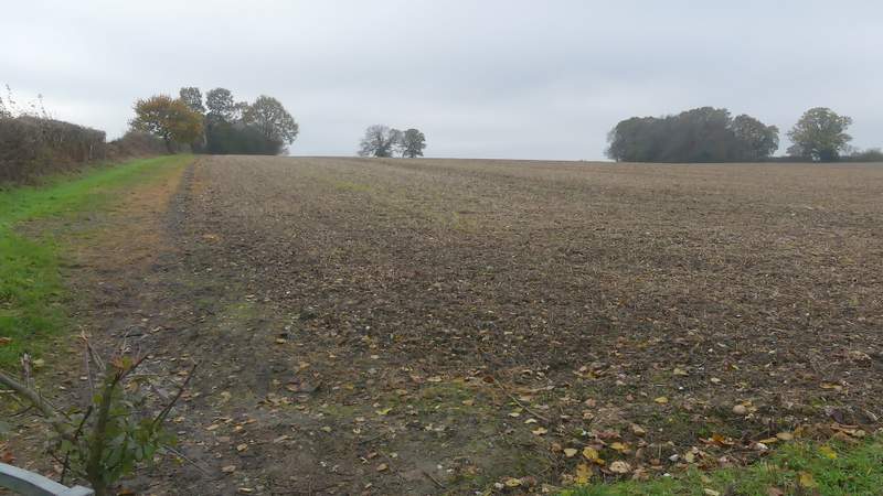
The path continuing along the left edge of an arable field
The path continuing along the left edge of a second arable field
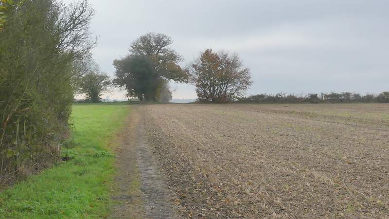
The path continuing along the left edge of a third arable field (there was a seat at a path crossroads here, where the second arable field ended, and another one in the hedgerow that was now on my left in this third arable field)
The path after switching to the left of the hedgerow
On reaching the corner of this field I turned right along a footpath running between hedges, with the grounds of a school over the hedge on my left. I continued straight on at a path junction, now on a public byway with a small estate of mainly bungalows on my right and small enclosures or paddocks on my left (I've often seen deer here, but not today). The byway then led on through trees a short way to reach the Ringshall-Northchurch road, here almost on the edge of Northchurch, where I turned right. I crossed to the far side shortly before a bend to the right - there was a nice view from a gateway here.
The path after I turned right, with the grounds of a school to my left
The path after I turned right, with the grounds of a school to my left
The byway continuing between paddocks, on the left, and bungalows
The byway continuing between paddocks, on the left, and bungalows
The byway continuing to the road on the edge of North church
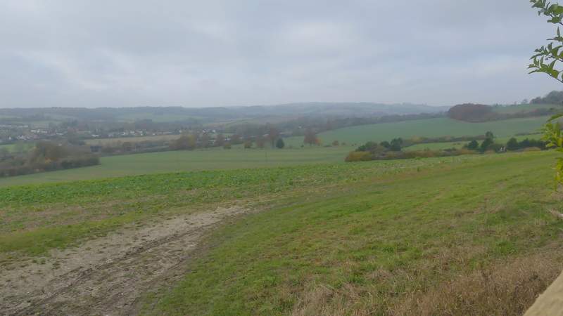
View left from a gate by the road