Pete's Walks - Alternative Ashridge Walk (page 4 of 7)
If you are considering walking this route yourself, please see my disclaimer. You may also like to see these notes about the maps and GPX files.
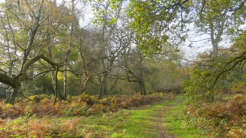
I then took a path forking left from the road by the bend, which led through trees and bushes and turned right after a while to drop downhill to a drive. The path continued on the other side, running along the southwest edge of Northchurch Common with fields just a few yards to my left. The path went uphill a short way, levelled out, and then dropped a short way into a small valley. Here I turned right (the Ashridge Estate Boundary Trail, which I'd been following since leaving the road, goes straight on here), this path soon turning left and going up a bracken-covered hillside. At the top I turned right at a path junction, rejoining the route of the Ashridge Estate Boundary Trail (which came in from the left), but only for a few yards before I took a path that forked left (so this was almost a 'staggered crossroads' where I went straight on). This path ran through trees a short way to bring me to Norcott Hill.
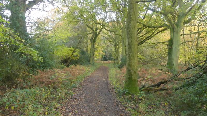
Near the start of the path along the southwest edge of Northchurch Common
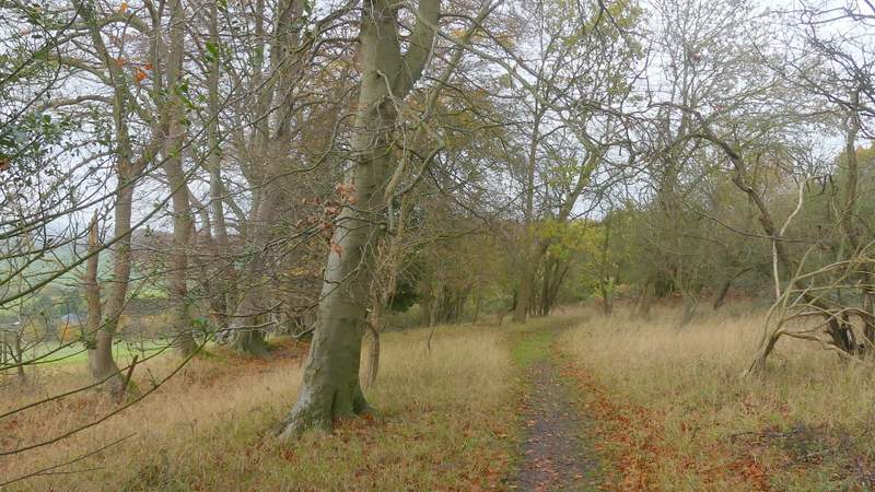
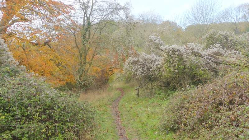
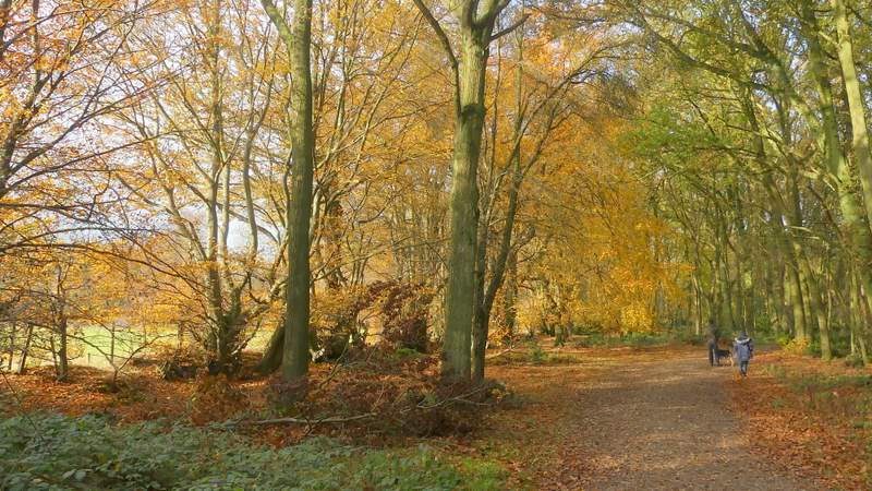
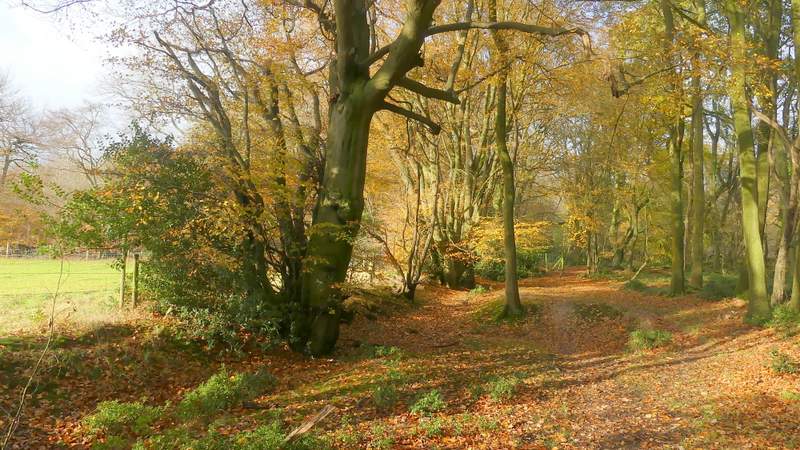
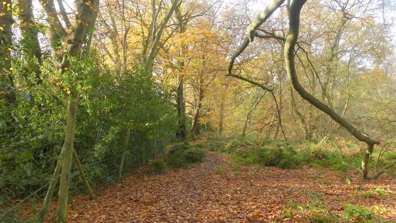
The path along the southwest edge of Northchurch Common
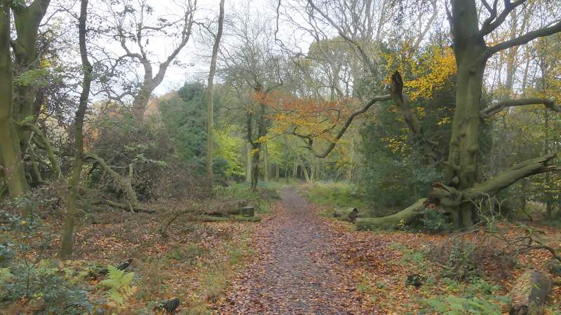
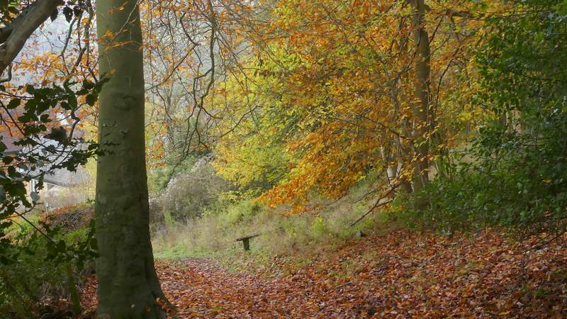
The path along the southwest edge of Northchurch Common, from where it crosses the drive to Gorseside
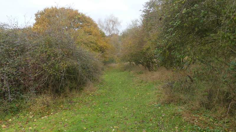
The path along the southwest edge of Northchurch Common
The path along the southwest edge of Northchurch Common
The path along the southwest edge of Northchurch Common
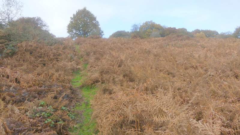
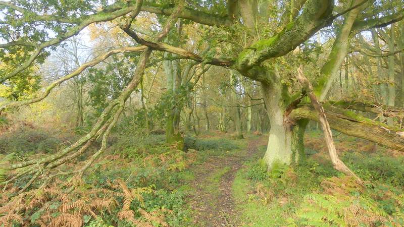
The path after I turned right at the bottom of a small valley, after it turns left and heads up a bracken-covered hillside
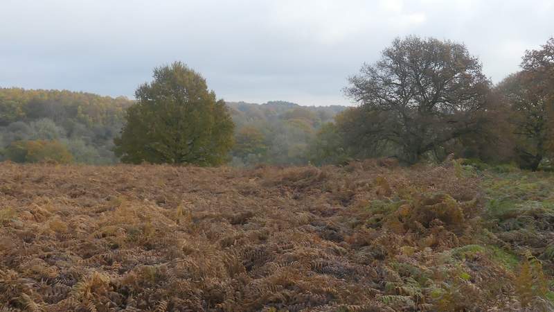
Looking back, from the top of the bracken-covered hillside
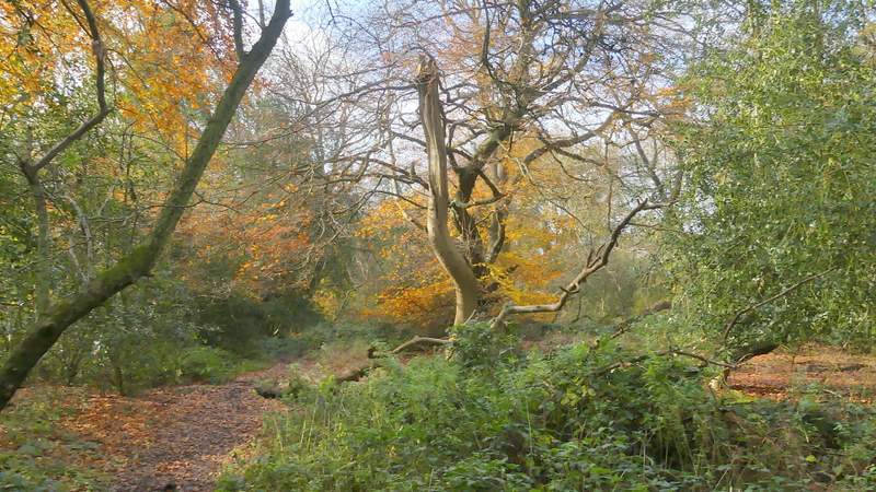
An Oak tree beside the path to Norcott Hill
I went straight on down a drive, with the few properties in the hamlet of Norcott Hill on my left and more of the woods of Northchurch Common on my right. At the end of the drive, by two gates, a bridleway went right, running just inside the woods with fields again a few yards to my left, After a few hundred yards I went left at a bridleway junction, still staying close to the fields on the left. Here I was again on the same route as the Ashridge Estate Boundary Trail, but only until the bridleway turned slightly right, when I left it and joined a path running almost alongside the fields over to my left. I now just kept on staying close to the fields, following the path all the way to a drive on the edge of the hamlet of Tom's Hill.
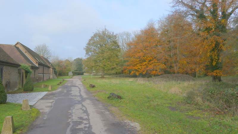
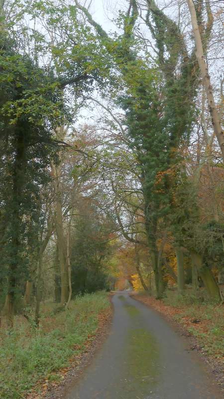
The drive at Norcott Hill
The drive at Norcott Hill
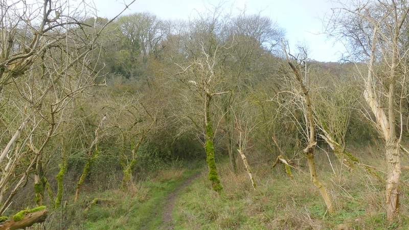
The bridleway along the western edge of Northchurch Common
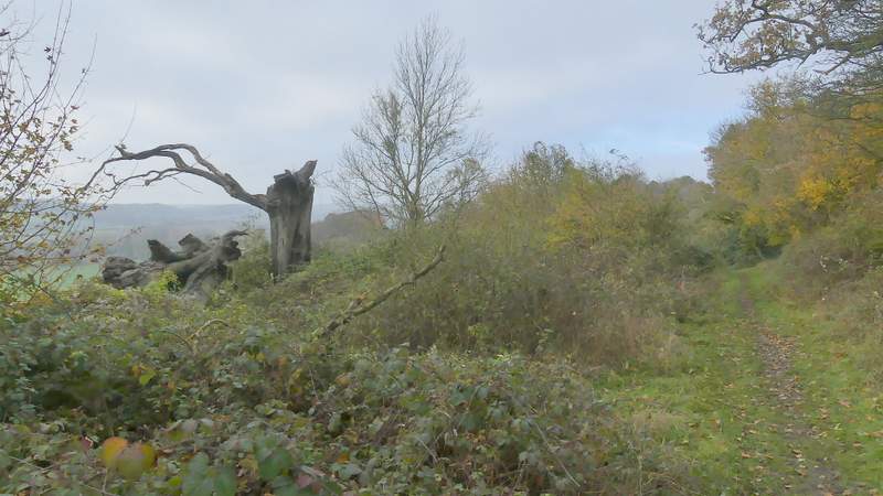
The bridleway along the western edge of Northchurch Common
The bridleway along the western edge of Northchurch Common
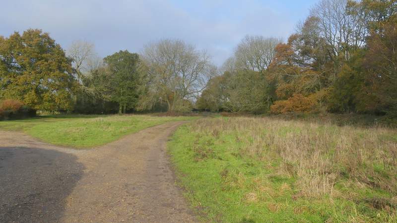
The path going east to Tom's Hill
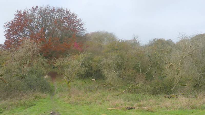
The path going east to Tom's Hill
The path going east to Tom's Hill
The path going east to Tom's Hill
I turned right along the drive (a public byway) and followed it to where it met a road at a hairpin bend. I went straight on along the road for a few yards, then took a path forking left and dropping downhill through trees. Near the bottom of the slope, on the edge of Aldbury, I stopped to eat my lunch on a rather dilapidated bench.
The drive from Tom's Hill, after I turned right
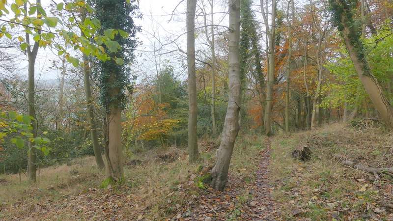
Near the start of the path down to Aldbury
Near the end of the path down to Aldbury