Pete's Walks - Alternative Ashridge Walk (page 5 of 7)
If you are considering walking this route yourself, please see my disclaimer. You may also like to see these notes about the maps and GPX files.
Lunch over, I continued down a street and then turned right onto a footpath after about a hundred yards. This path ran between garden fences, then turned left. On reaching a gate into the village allotments it turned right (i.e. I didn't go through the gate). After maybe another hundred yards I reached a tall gate in the allotments fence on my left, through which I followed a path through the allotments and down a drive to reach another street in Aldbury, where I turned right. I soon came to a junction in the village centre, where I turned left. Shortly after passing the village church on my right, I took a footpath on that side. This went through a small enclosure and then continued along the left edge of a large paddock, with the brick wall of a stables on my left, as far as a pedestrian gate. Through this gate the path carried on between a shed or barn and a hedge on my right, then went through two gates in quick succession before continuing for several hundred yards between hedges either side. On reaching a junction where the path crossed a bridleway, I went straight on, the path now running through a golf course. Eventually it reached a wood, which it continued through.
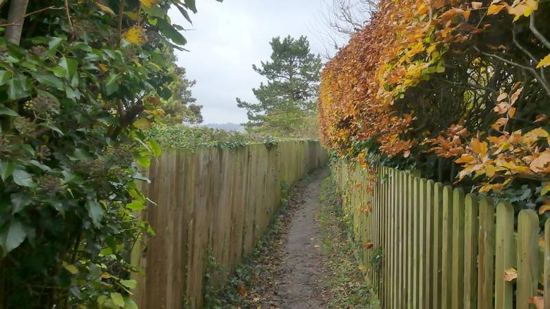
The path to the allotments at Aldbury
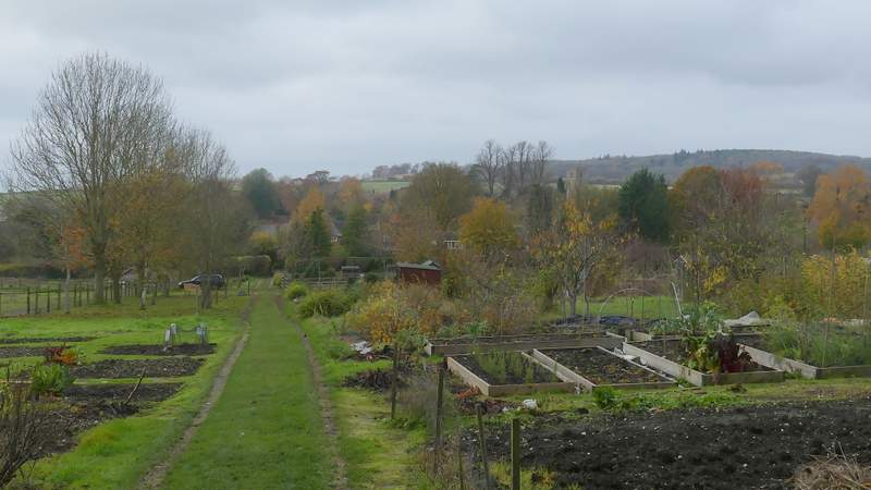
The allotments at Aldbury
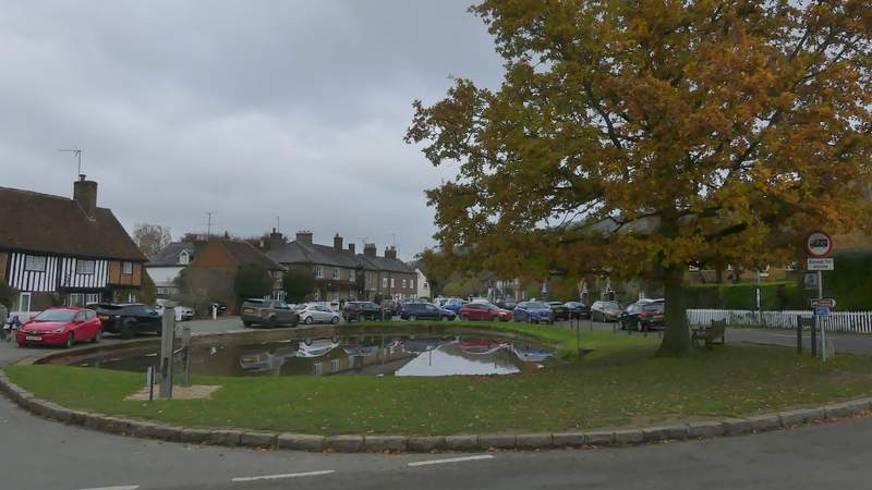
The centre of Aldbury (I took the road going left here)
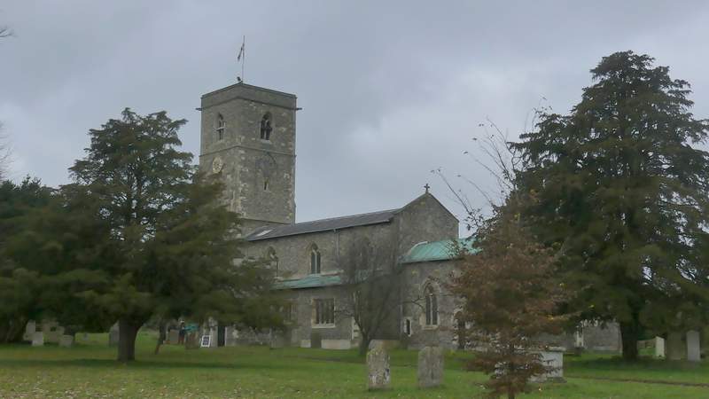
Aldbury church
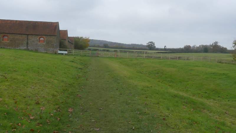
The start of the path from Aldbury
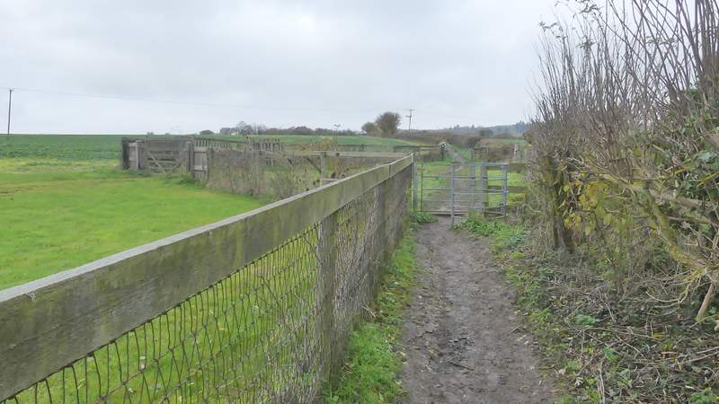
The path from Aldbury
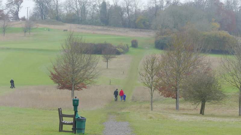
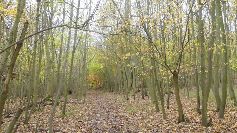
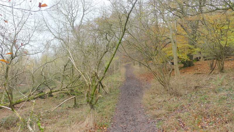
The path from Aldbury, crossing the golf course
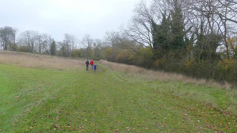
The path from Aldbury, crossing the golf course (it goes straight on into the wood ahead)
The path from Aldbury
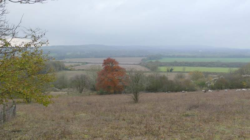
After following the path a short while through the wood I came to a path T-junction where I turned left. Almost immediately I came to another path junction, where I turned right onto a section of the Ridgeway national trail (white acorn symbols). This went up a flight of 'steps' (another path went left at the bottom of the 'steps') and at the top it turned slightly left, briefly leaving the wood as it passed through a section of Aldbury Nowers nature reserve, between fences either side. Back in the wood, it went up a few more 'steps' and then continued through the woodland for about half a mile. On leaving the wood it continued straight on, gradually rising up the western side of Pitstone Hill, following the line of part Grim's Ditch (an ancient earthwork). The normally far-reaching views over the Vale of Aylesbury from the top of Pitstone Hill were rather limited today by the grey conditions - it was only about 2pm but it already seemed to be getting dark.
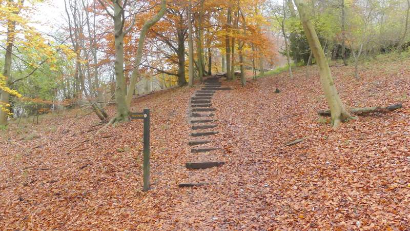
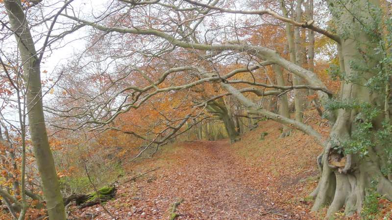
The start of the section along the Ridgeway, at Aldbury Nowers
A view from the Ridgeway as it passes through Aldbury Nowers nature reserve
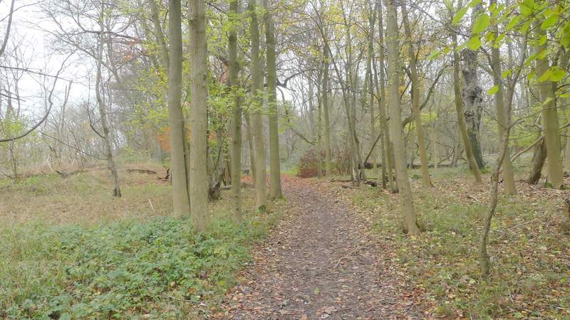
The Ridgeway continuing through the woods at Aldbury Nowers
The Ridgeway continuing through the woods at Aldbury Nowers
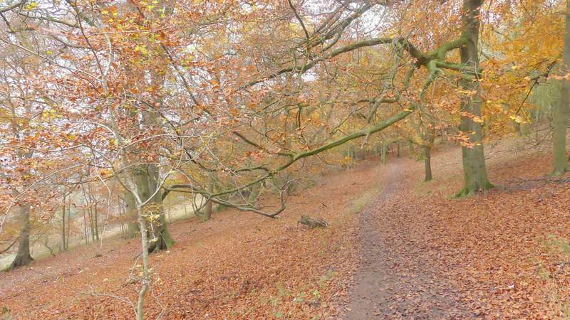
The Ridgeway continuing through the woods at Aldbury Nowers
The Ridgeway continuing through the woods at Aldbury Nowers
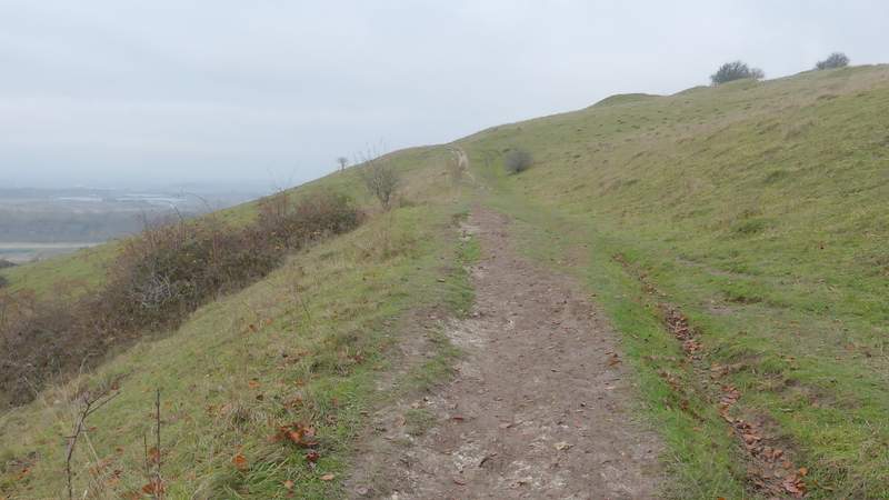
The Ridgeway continuing up the western edge of Pitstone Hill
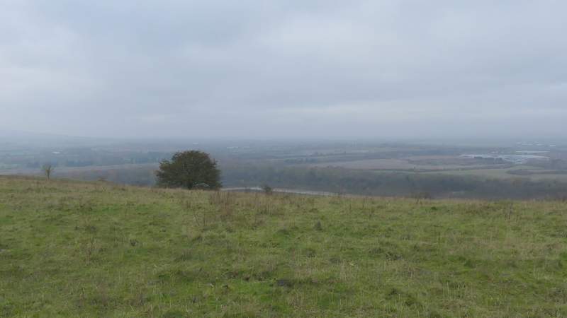
View from Pitstone Hill