Pete's Walks - Alternative Ashridge Walk (page 6 of 7)
If you are considering walking this route yourself, please see my disclaimer. You may also like to see these notes about the maps and GPX files.
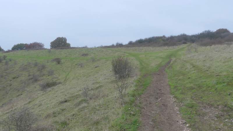
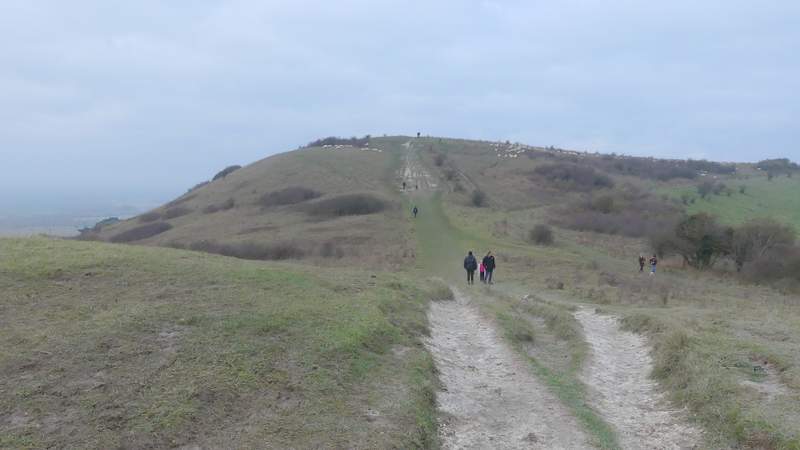
The path turned slightly right from the top of Pitstone Hill, descending gently with Steps Hill in view ahead, with Ivinghoe Beacon further left. As usual I went up and over a 'hillock' (the Ridgeway avoids it), reaching the Pitstone Hill car park on the other side. Across a lane, I continued (back on the Ridgeway) towards Steps Hill. There was a flattish section for about half a mile, then just after path crossroads there was a steady ascent up to the top of the hill, the path curving left round the head of a steep-sided valley called Incombe Hole. At the top of the hill, I went past a gate on my right, then left the Ridgeway by taking a path going half-left. This wound its way through scrub for a few hundred yards, rejoining the Ridgeway at a gate or stile. I continued through more of the scrub-covered hillside, heading towards Ivinghoe Beacon, eventually going left a path T-junction for just a few yards to reach a road at a sharp bend.
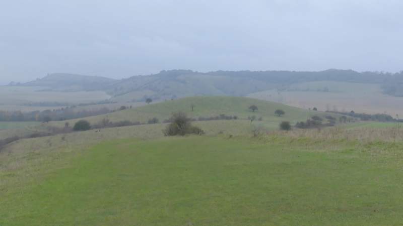
View ahead as the Ridgeway starts to descend from Pitstone Hill, over the 'hillock' towards Steps Hill (centre) and Ivinghoe Beacon (left)
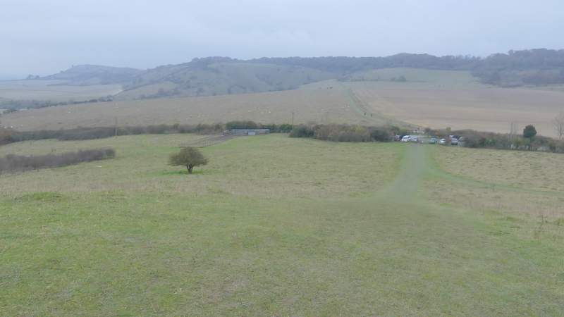
The view ahead from the 'hillock' over the car park for Pitstone Hill to Steps Hill and Ivinghoe Beacon (left)
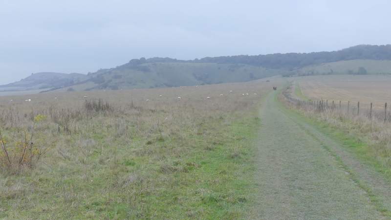
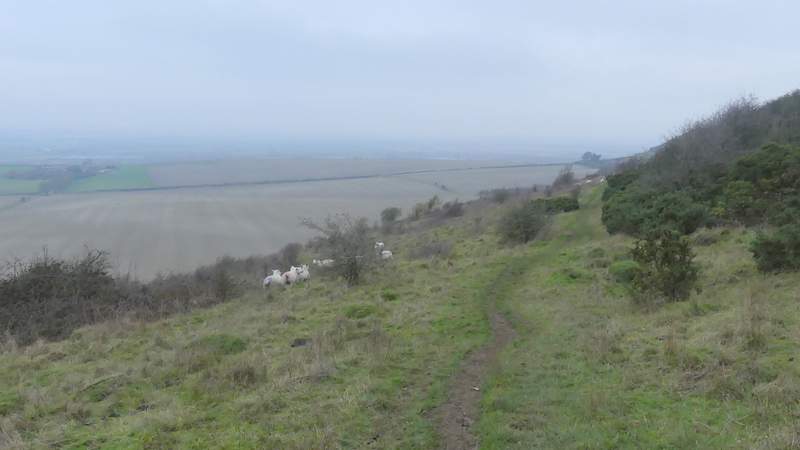
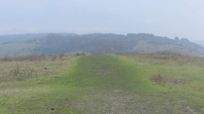
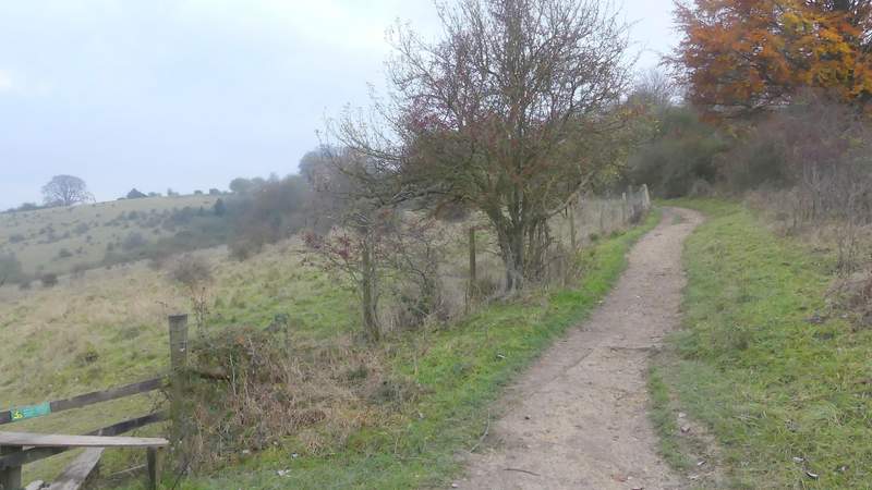
The Ridgeway heading towards Steps Hill
The Ridgeway heading towards Steps Hill
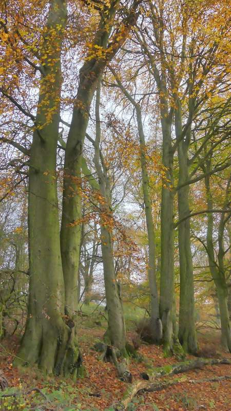
I took the path going slightly left, here on top of Steps Hill (the Ridgeway continues straight on through the trees)
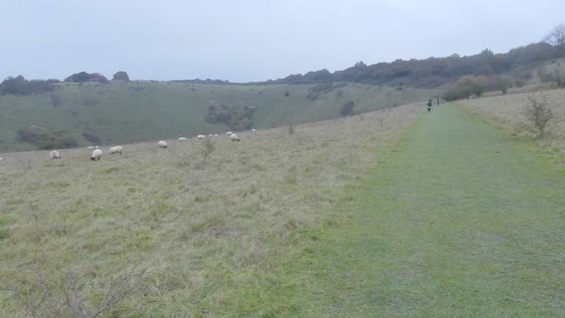
The path on Steps Hill
The path on Steps Hill
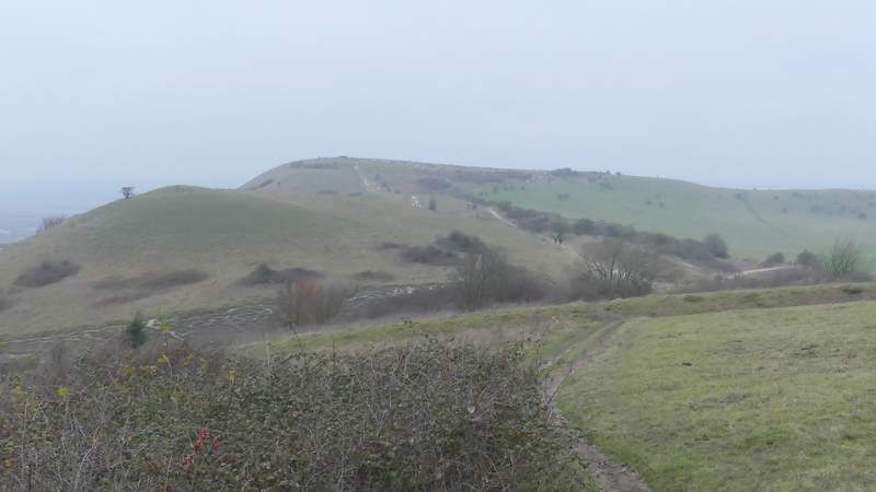
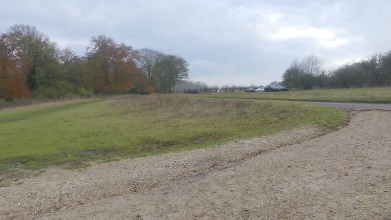
Across the road, I went left up the first (and much bigger) of the two hillocks near Ivinghoe Beacon. At its top, where there is the remains of a tumulus or burial mound, I turned right and followed a path gently downhill, before going over the insignificant second hillock (it somehow seems much bigger from a distance) and climbing up to the top of Ivinghoe Beacon (the Ridgeway is now diverted to the right of old and wide chalky path, to give it a chance to recover). Again the views were limited by the grey and darkening conditions, even the nearby Dunstable Downs were just a blur on the horizon, I turned round and went down the Beacon the way I'd come up it, but then took a path going left of the two 'hillocks'. I then continued along the path (a little way to the left of the road I'd crossed, and now with a fence on the left) as it very gradually curved slightly left and very slightly uphill to reach the main car park for Ivinghoe Beacon. I walked through the car park and then through some Beech trees, now next to the road on my right, before continued across a grassy area
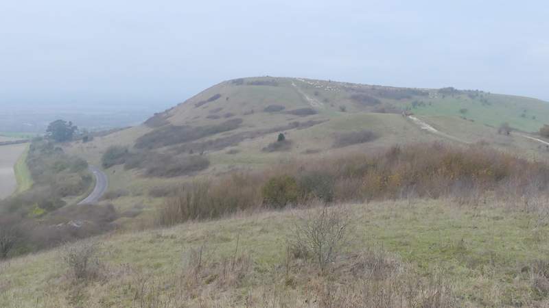
Ivinghoe Beacon from the larger of the two 'hillocks'
Approaching Ivinghoe Beacon
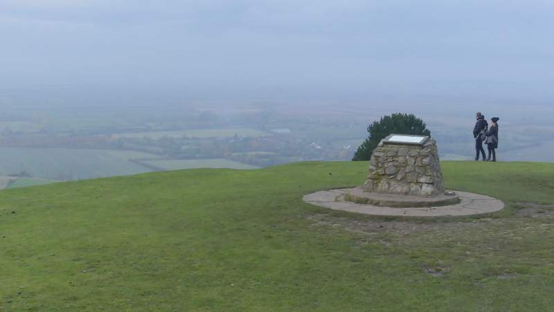
View from Ivinghoe Beacon
View from Ivinghoe Beacon over Galley Hill towards Dunstable Downs
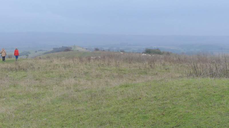
View back towards Steps Hill and Pitstone Hill (left)
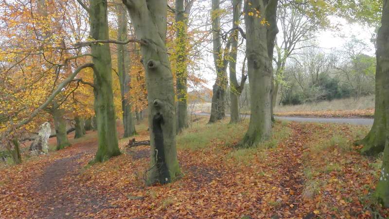
The path back to the main car park for Ivinghoe Beacon
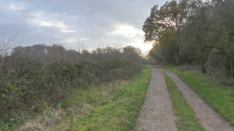
The path beside the road to Ringshall
The path beside the road to Ringshall
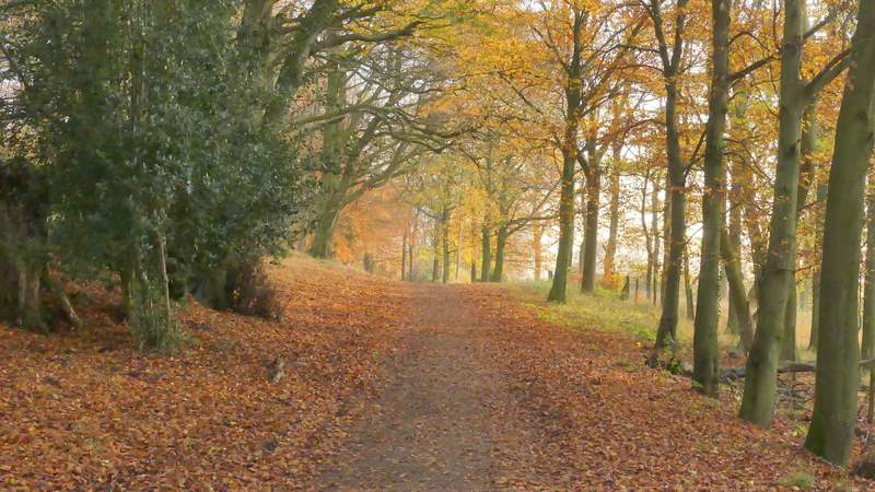
At the end of the grassy area, I turned right, crossing the road and continuing down a track that soon curved slightly left - this is the main track from the Beacon to the Bridgewater Monument. There was now a brief sunny spell, and I was able to get a few nice photos of the Beech trees beside the track in this late-afternoon sunlight.
The start of the main track to the Bridgewater Monument
Beech trees beside the main track to the Bridgewater Monument
The main track to the Bridgewater Monument
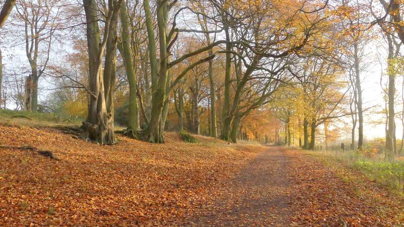
The main track to the Bridgewater Monument