Pete's Walks - Alternative Ashridge Walk (page 7 of 7)
If you are considering walking this route yourself, please see my disclaimer. You may also like to see these notes about the maps and GPX files.
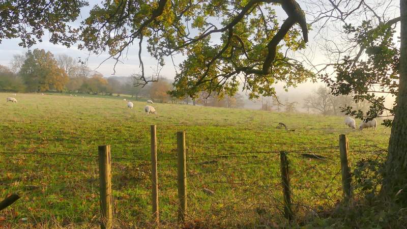
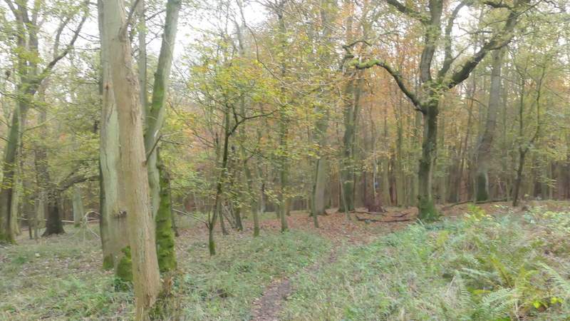
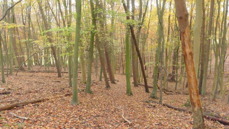
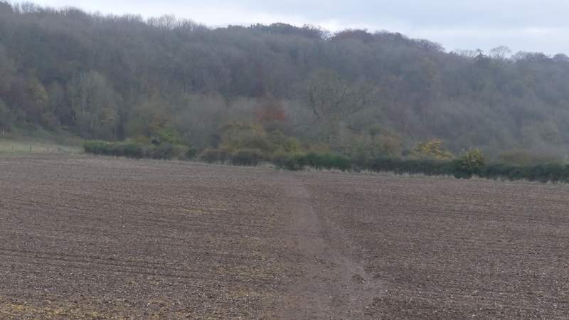
After about half a mile I reached the kennels on Clipper Down (a footpath, which I've often used, forked right just before this point). The track continued to the right of the kennels, with sheep pastures on Clipper Down now on my right. After about another quarter of a mile, shortly after the sheep pastures ended, I turned right at a path crossroads. This path dropped downhill through a wood (it was quite hard to make out the path, as everywhere was covered in golden leaves) then rose a few yards up the other side of a valley to a gate or stile where it left the wood. The path continued along the left edge of an empty pasture or meadow, with trees on my right and a nice view ahead over Duncombe Farm towards Aldbury. Where the trees went right, the path went straight on, gently downhill to reach the drive to Duncombe Farm.
The main track to the Bridgewater Monument, approaching Clipper Down
The main track to the Bridgewater Monument, on Clipper Down (just before the kennels)
The main track to the Bridgewater Monument on Clipper Down
View right on Clipper Down
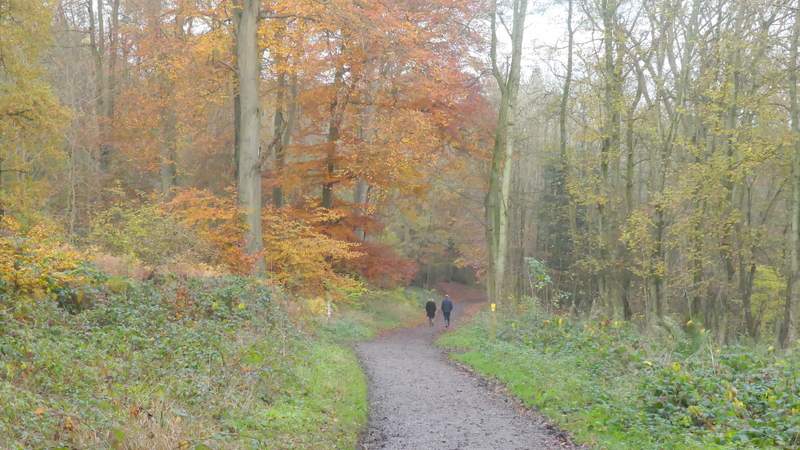
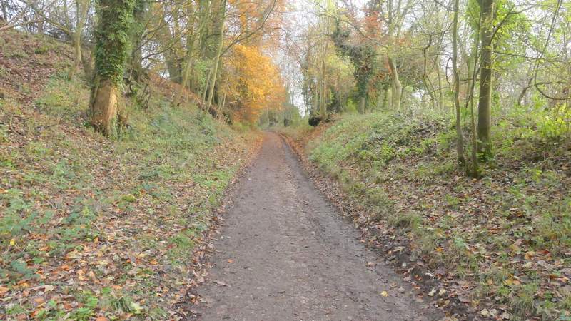
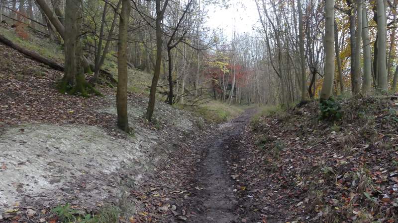
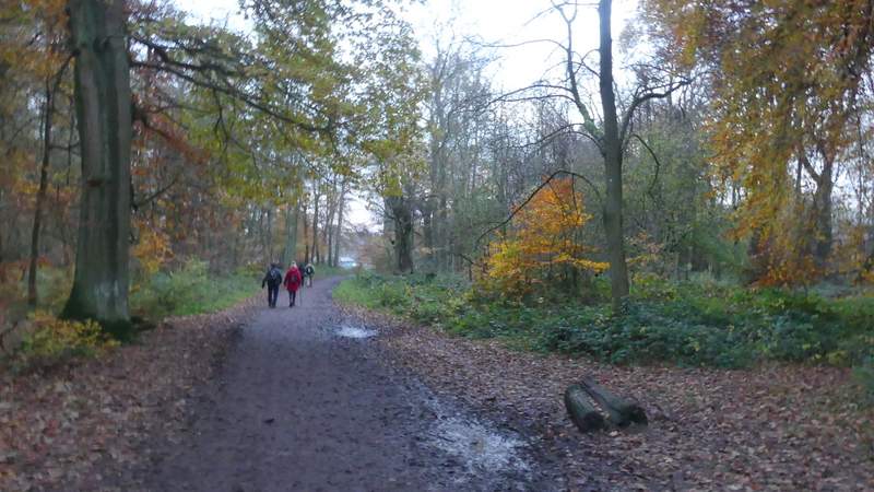
The main track to the Bridgewater Monument continuing from Clipper Down (I turned right at the yellow-topped post)
The path after I turned right from the track to the Bridgewater Monument
The path after I turned right from the track to the Bridgewater Monument
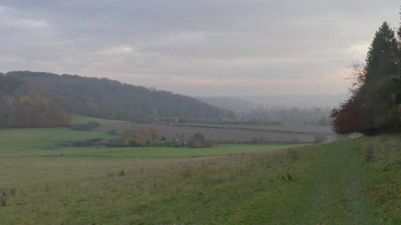
View ahead over Duncombe Farm towards Aldbury
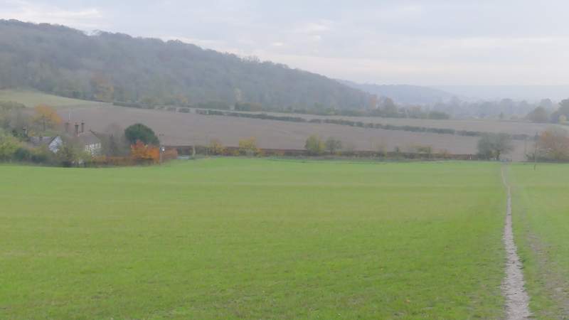
The path approaching the drive to Duncombe Farm
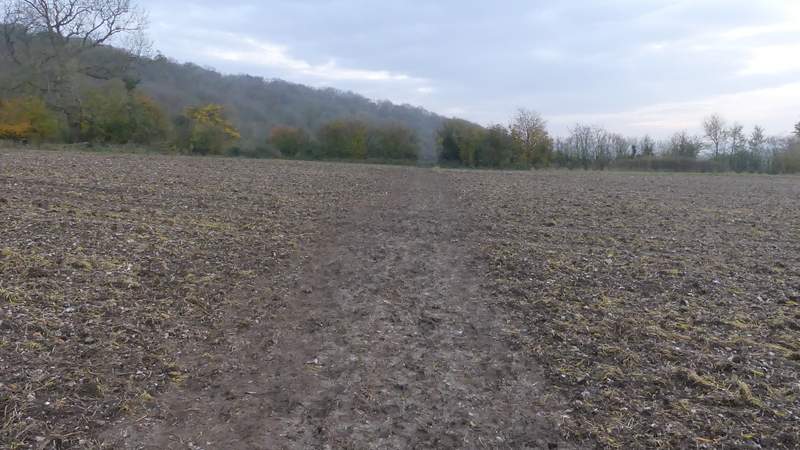
Across the drive to Duncombe Farm, the path went half-left across a ploughed field, then straight across a smaller such field. On the far side of this second field I turned left along a bridleway, immediately passing a fine old Ash tree. The bridleway soon turned right and headed uphill, at an angle to the slope, once more back in the woods of Ashridge. Coming at the end of a long and tiring walk, it seemed to be further uphill to the next path junction than usual, where I went straight on along a footpath (the bridleway turns half-right and levels out here, this is the way I usually go). This path soon brought me back to the main track from the Beacon again, where I turned right and, in about a hundred yards, emerged from the trees at the Bridgewater Monument. I then just had to turn left and return to my parked car.
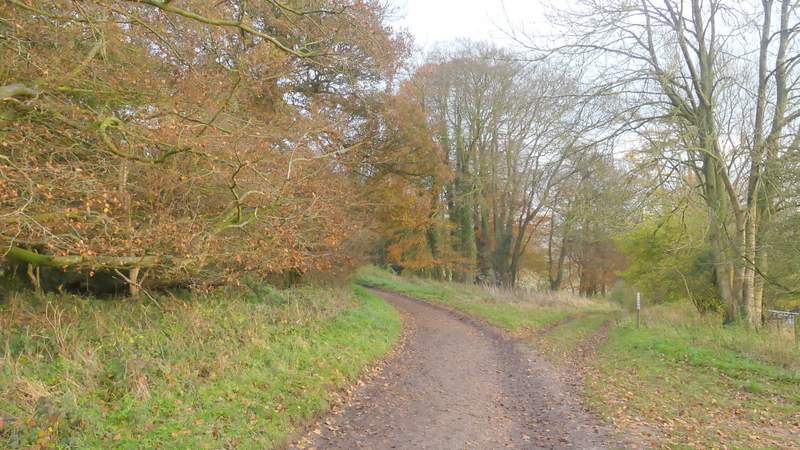
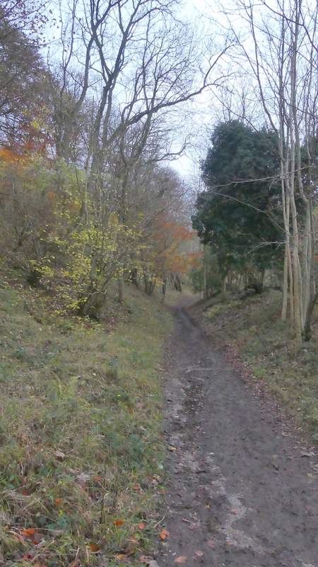
The path continuing from the drive to Duncombe Farm
The path continuing from the drive to Duncombe Farm (I turned left along a bridleway this side of the hedgerow)
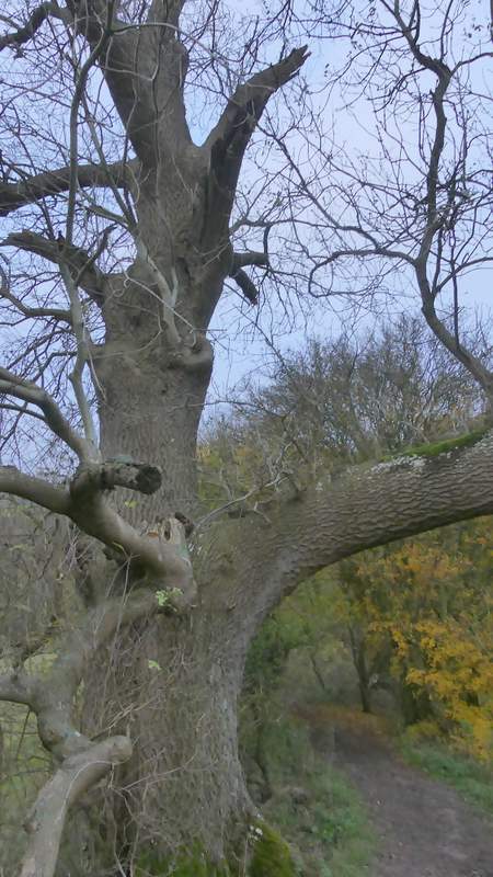
Old Ash tree beside the bridleway back up into Ashridge
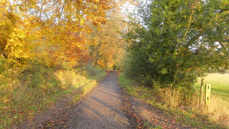
The bridleway back up into Ashridge
The bridleway back up into Ashridge
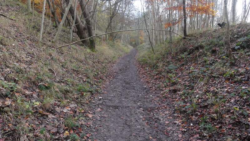
The bridleway back up into Ashridge
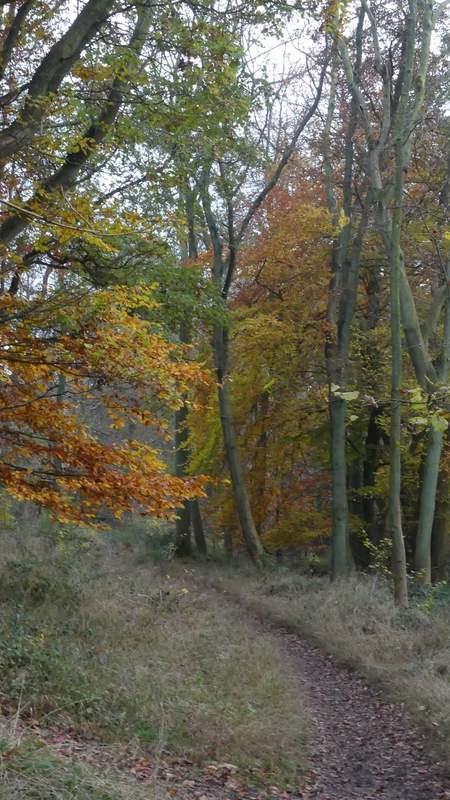
The path after I forked left from the bridleway
Back on the main track to the Monument, after I turned right
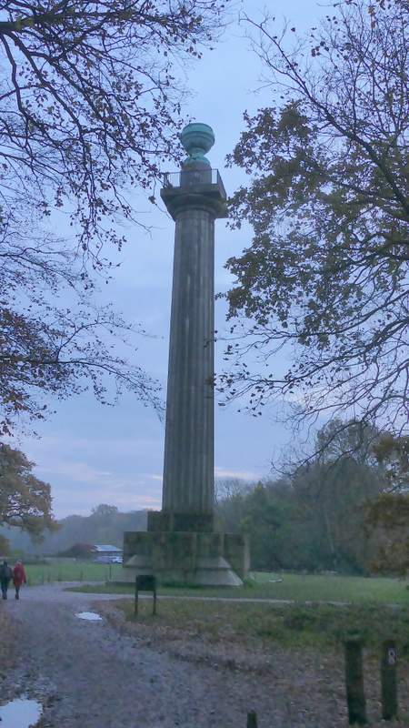
The Bridgewater Monument at Ashridge
This was a very good walk indeed, and I'm still amazed that it's so long since the last time I did it. Next time I do it in this clockwise direction, though, I'll start at the Pitstone Hill car park instead. That is what I've usually done in the past, because most of the hilly bits are at the start of the walk rather than the end - I felt a little daunted just after my lunch break when I realised I'd still got Pitstone Hill, Steps Hill, Ivinghoe Beacon, the hill up to the Monument and a couple of 'hillocks' to come. The reason I chose to start near the Bridgewater Monument today was because it meant I had a lot more ways of cutting the walk short (the route is very roughly rectangular, with the Monument half way down one of the long sides and Pitstone Hill car park in a corner) and I was concerned about my back, which has been playing up after my last three or four walks. In the event my back didn't feel too bad and I really wanted to finish the walk - I've paid the penalty as my back became quite painful an hour or so after I got home and stayed sore for three or four days (I've now seen a physiotherapist about it). The back problem is why I've not been walking quite so much recently.