Pete's Walks - Cowleaze Wood, Crowell, Stokenchurch (page 1 of 6)
If you are considering walking this route yourself, please see my disclaimer. You may also like to see these notes about the maps and GPX files.
Google map of the walkDownload GPX file of the walk
I did this circular walk of about 13 miles on Saturday, 26th June 2019. It was a repeat of a walk I did in May 2019 - as most of the route was new to me then, today would be only the second time I'd walked many of these paths and bridleways.
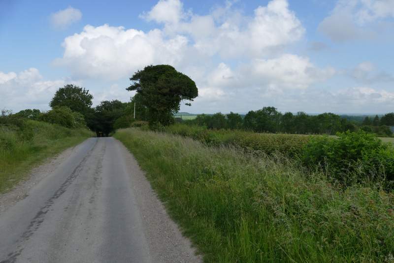
I parked in the large car park at Cowleaze Wood (on the Ibstone road, a couple of miles east of Stokenchurch - grid reference SU 726956), and started walking about 9.50am. I walked through the car park with the road to my left until I came to a sign about the Aston Rowant nature reserve. I carefully crossed the road and went through a gate, turning right and following a hedge on my right through an empty sheep pasture for about 100 yards. Through another gate I turned left along what appeared to be a farm track but is in fact Hill Road - there was a sign by the road here saying it was 'Not Suitable for Motor Vehicles', it only becomes an actual lane at Hill Farm at the bottom of the Chiltern escarpment. This was the start of the first section of the route that I'd only walked once before. The road or track was soon steadily descending the Chiltern escarpment northwestwards to the Oxfordshire Plain below, following the northeastern side of Bald Hill. The track is almost entirely enclosed by trees or hedges and so lacks the fine views that the other three paths that descend the escarpment from near Cowleaze Wood have - I'd considered using the path that descends Linky Down, over to my right, but decided to stick to Hill Road simply because it was less familiar to me.
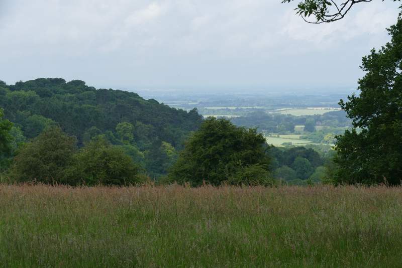
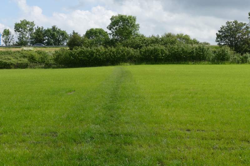
View after crossing the road from Cowleaze Wood
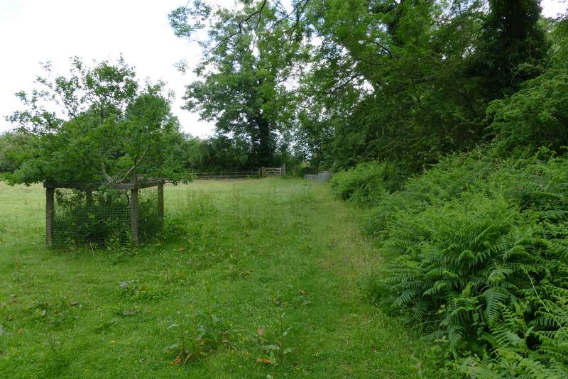
The path parallel to the road, through part of the Aston Rowant nature reserve
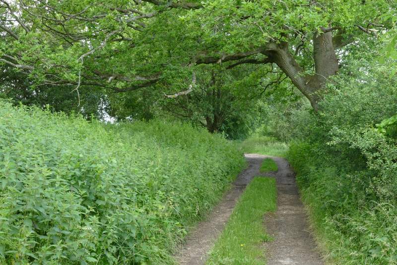
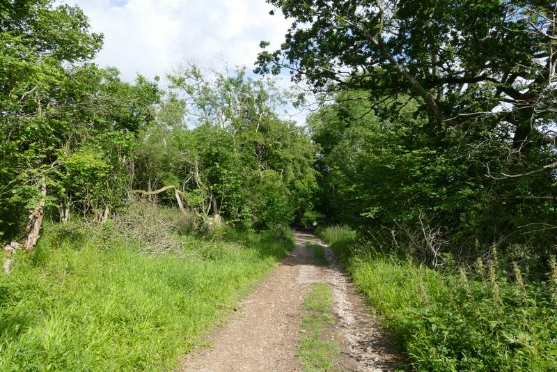
Near the start of Hill Road ('Not suitable for motor vehicles')
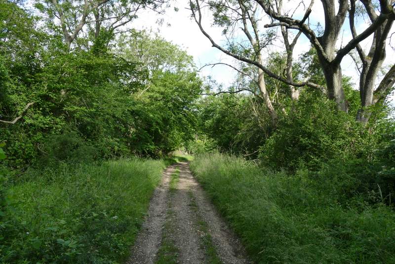
Hill Road
Hill Road
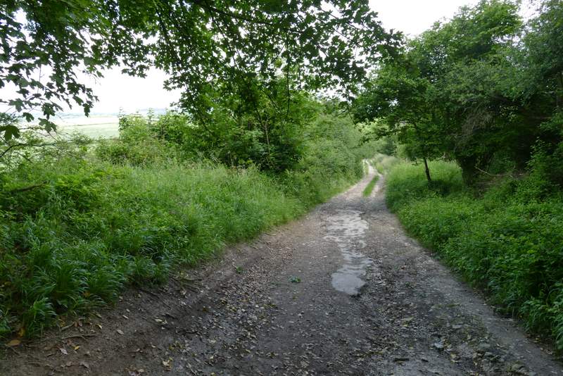
Hill Road
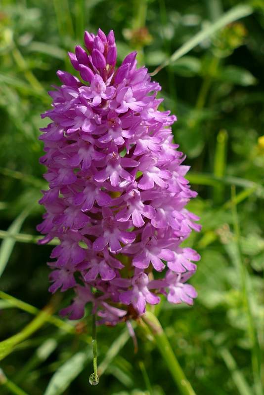
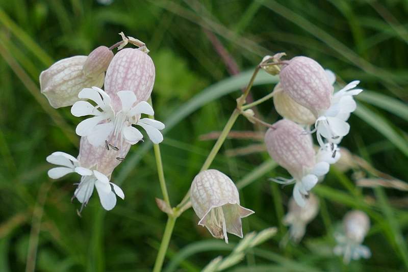
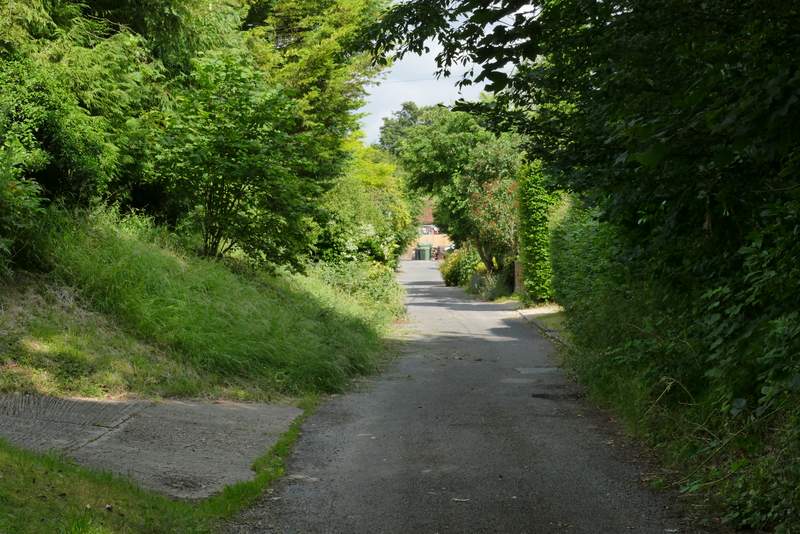
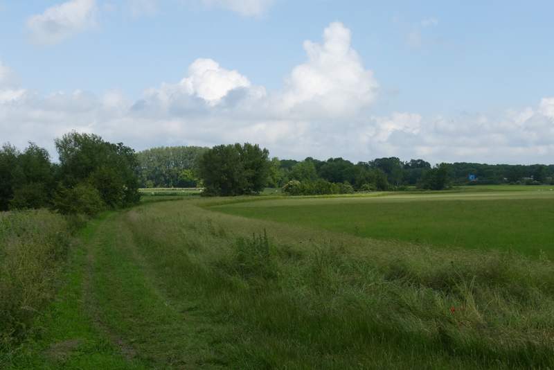
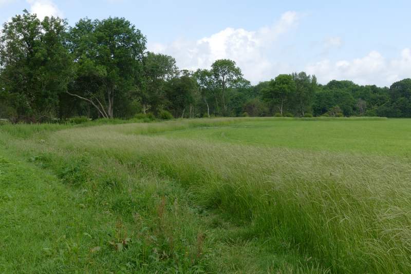
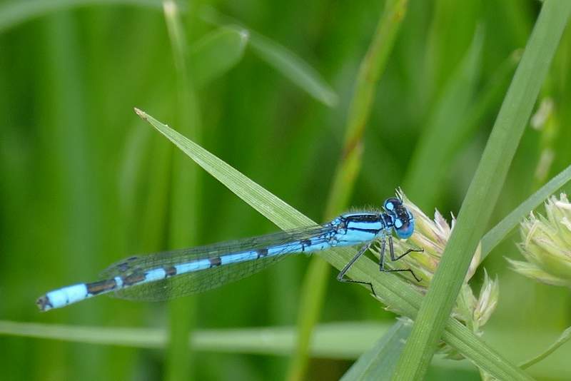
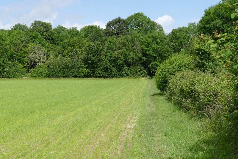
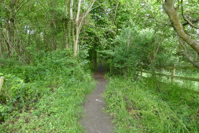
At the foot of the slope, near Hill Farm, the 'road' turns slightly left and becomes a surfaced lane. The path down Linky Down joins it here, so for the next two or three hundred yards I was on familiar territory again. But when I continued along the lane after the Ridgeway crossed it, I was again on part of the route that I'd only walked once before, and would not be back on familiar territory for several miles until I reached a lane at Crowell Hill. I spotted several Pyramidal orchids beside the lane, as well as my first Bladder Campion of 2021. The lane continued for about half a mile to reach the B4009 road close to an M40 junction on my right (there was a lot of parking spaces here, people park here and commute to and from London on buses along the motorway). Across the road, a short path went down a flight of large concrete slabs and then entered the village of Lewknor. On coming to a junction, I turned right, with The Leathern Bottle pub now on my left. I soon crossed Church Road, and a little further on I took a path on the left that seemed to cross the village school's playground to reach the churchyard. I took a path that went to the right of the church. Continuing from the churchyard the path followed the left edge of a huge corn field, with an embankment carrying the M40 on the other side of the field. I spotted several Common Blue damselflies here. There was a ditch or stream over the fence on my left, and the path followed the field edge as it curved right and then left and then right again. Eventually, the path turned right and crossed the field to reach the motorway embankment, where it turned left. On reaching a field corner, it continued straight on through a wood.
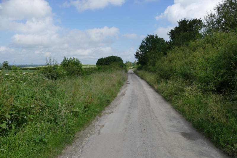
Hill Road (after it becomes a surfaced lane at Hill Farm)
Hill Road (after crossing the Ridgeway)
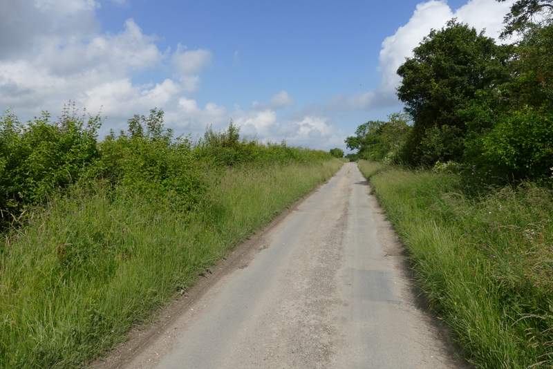
Hill Road, heading towards Lewknor
The street into Lewknor
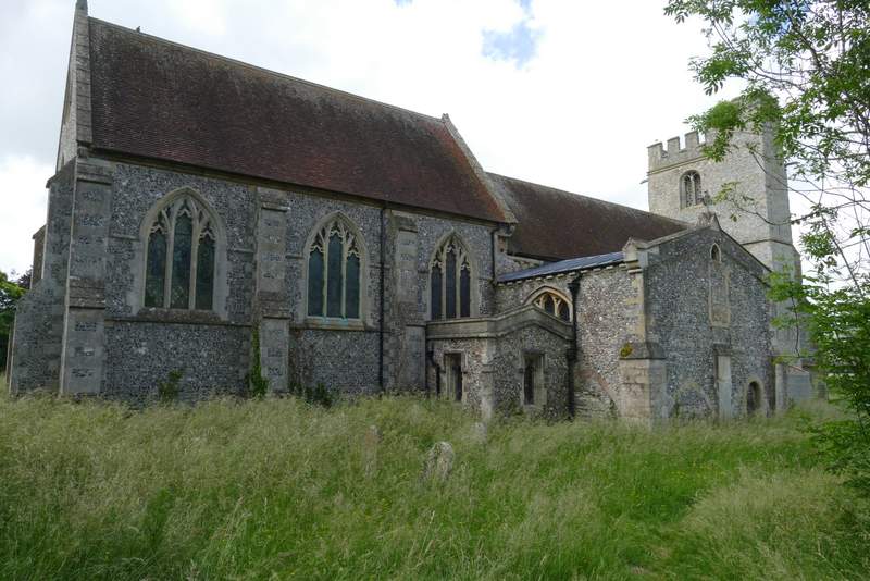
Lewknor church
Near the start of the path from Lewknor church
The path from Lewknor church
The path from Lewknor church, crossing the field to the M40 embankment
The path continuing beside the M40
The path continuing beside the M40