Pete's Walks - Cowleaze Wood, Crowell, Stokenchurch (page 2 of 6)
If you are considering walking this route yourself, please see my disclaimer. You may also like to see these notes about the maps and GPX files.
The path ended at a bridleway (Nethercote Lane), where I turned right and immediately passed under the motorway - I was now starting a roughly two-mile section where I'd be walking northeast towards Chinnor, parallel to the Chiltern escarpment a mile or so away to my right. The bridleway ran through a tree belt - there was a concrete surface under just a smattering of mud and dead leaves here. After about a quarter of a mile I reached the A40, across which I went a few yards left then turned right where a finger-post said 'Byway leading to bridleways only' - whatever it is, it's named 'Lower Icknield Way' on the OS Map.
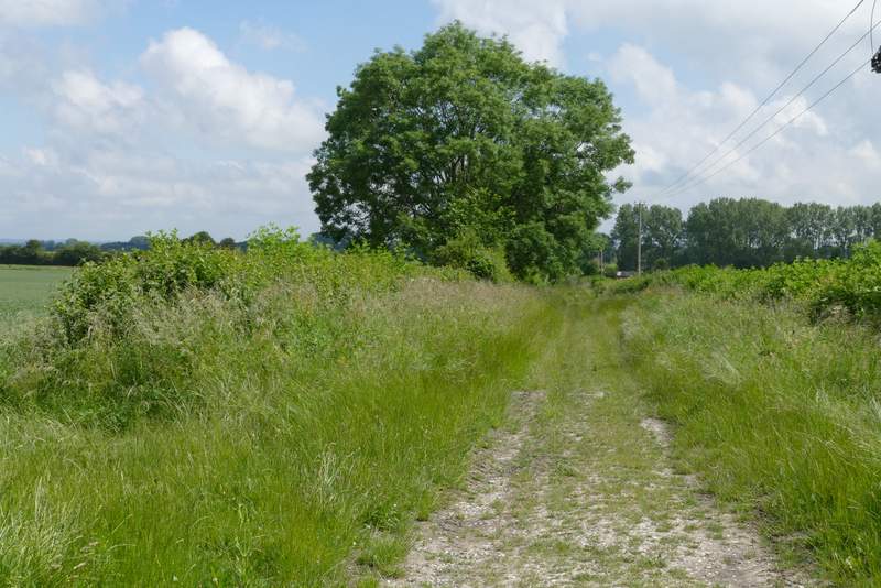
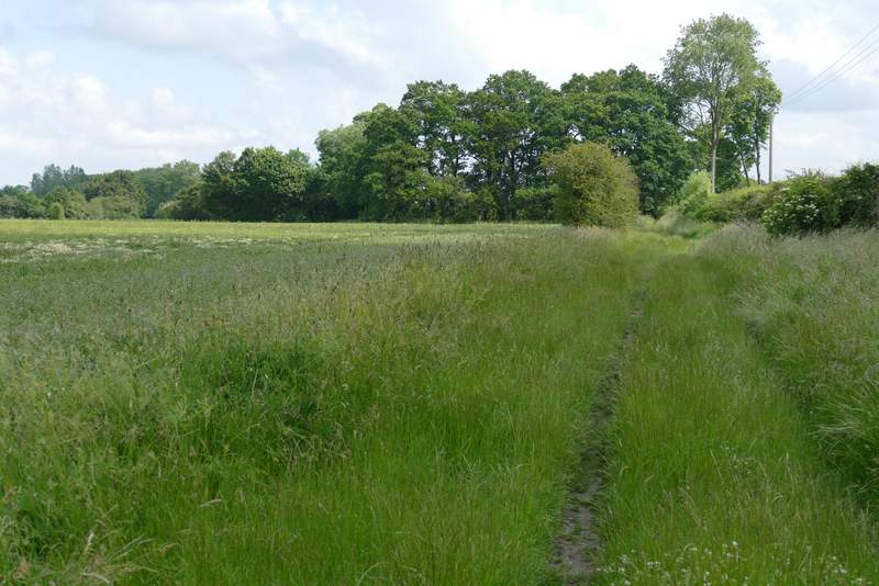
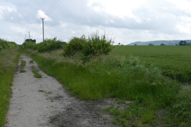
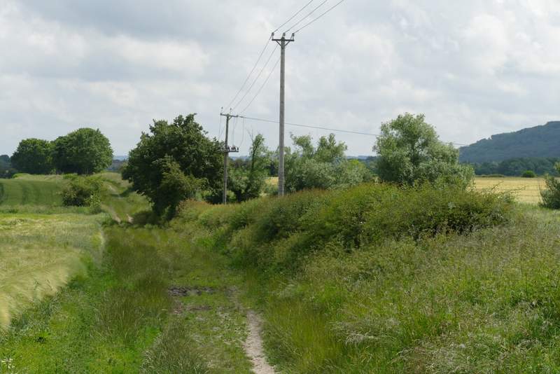
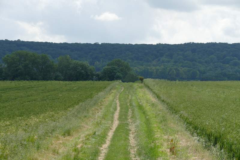
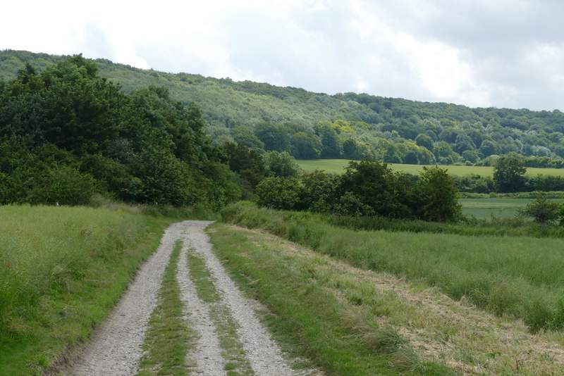
The byway ran as a generally grassy and broad track between fields for about half a mile, then it ended at a junction where I went half-right along a bridleway for a few yards before turning half-left at another junction, to resume the same northeasterly direction as before (more precisely, it was more ENE than NE). The bridleway again was a broad and grassy track between fields, sometimes with a hedge on one or other side, occasionally on both. Most of the time now I had could see a heavily wooded section of the Chiltern escarpment a mile or so away to my right. Just over half a mile from the junctions I came to a lane, beyond which I continued along Lower Icknield Way for about another third of a mile.
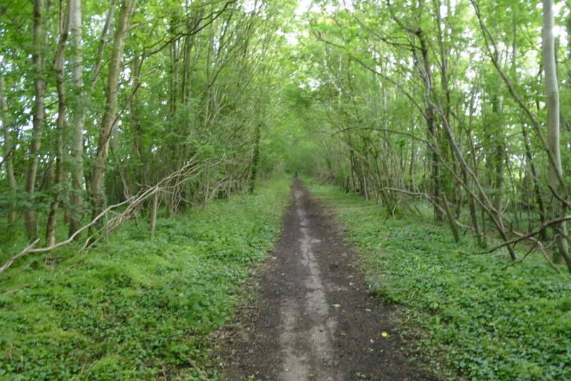
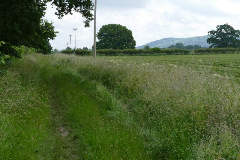
The bridleway after I turned right and passed under the M40
Near the start of the byway (Lower Icknield Way) after I crossed the road
Lower Icknield Way
Lower Icknield Way (after the two junctions)
Lower Icknield Way

Lower Icknield Way
Lower Icknield Way
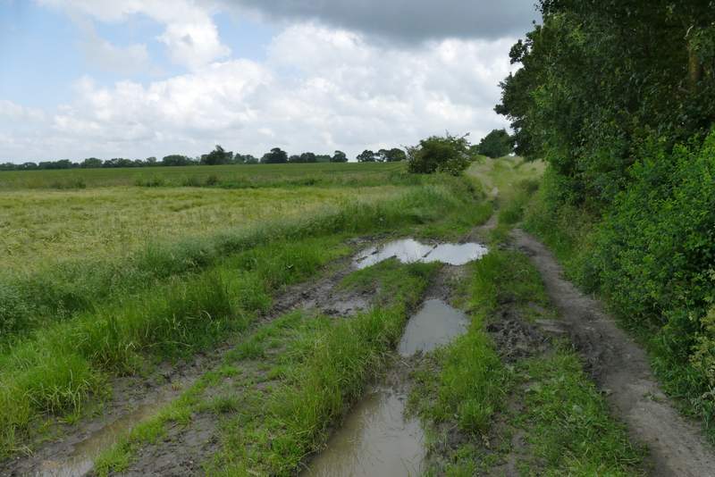
Lower Icknield Way
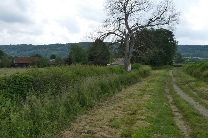
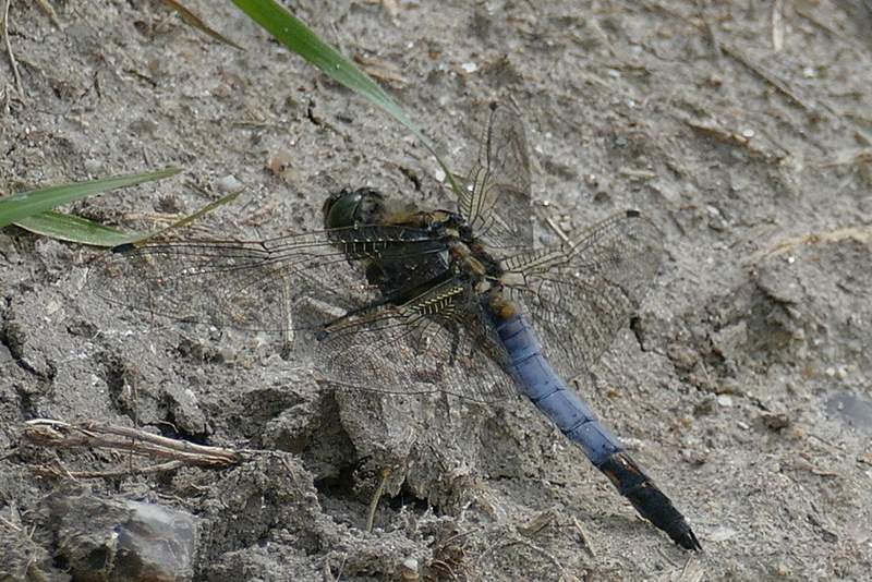
I then turned right along a bridleway (I didn't see the waymark post indicating this junction until after I'd reached it, but a finger-post indicating a path going left a little further on had been visible for some time). Incidentally, the OS map shows a path should have gone further right here, but there was no evidence of it. The bridleway ran for about half a mile to Crowell, with the long line of the wooded Chiltern escarpment ahead of me, another half a mile or so the other side of the village - I could also see houses on the edge of Chinnor, about half a mile to my left. The bridleway ended at the B4009 minor road (I'd crossed it earlier near the M40 at Lewknor) on the southwestern edge of Crowell, where I turned left, with the village church across the road. I then turned right along the sole short lane in this small village, passing the Shepherd's Crook pub on my right (sadly closed until further notice, according to a sign - hopefully it will reopen after the pandemic). The lane became a track after leaving the village, though still marked as a lane on the map. I spotted and photographed a dragonfly here, which I later identified as a male Black-tailed Skimmer, a first for me as I'd only seen a couple of females before.
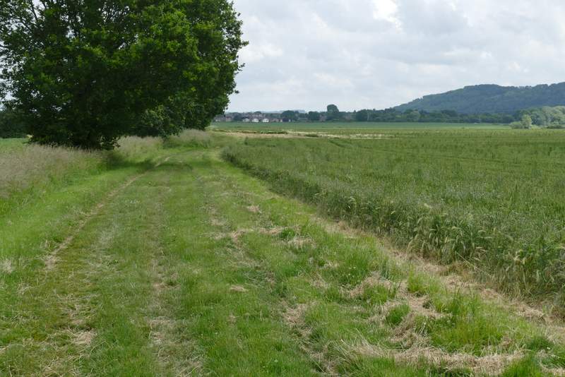
Lower Icknield Way (just before I turned right)
The bridleway to Crowell, after I turned right from Lower Icknield Way
Approaching Crowell
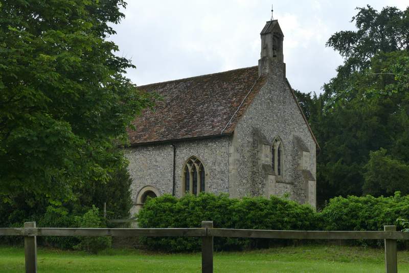
Crowell church
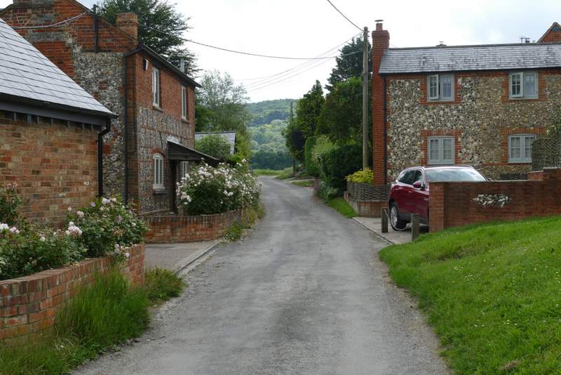
The lane through Crowell
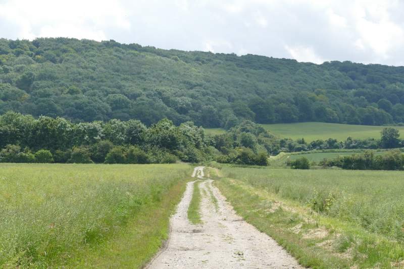
The lane continuing from Crowell (it becomes a byway where the trees start on the left)
The byway continuing from Crowell