Pete's Walks- Chenies, Chipperfield Common, Ley Hill (page 1 of 6)
If you are considering walking this route yourself, please see my disclaimer. You may also like to see these notes about the maps and GPX files.
I did this circular walk of about 13.3 miles on Friday, 23rd July 2021. It was another repeat of a walk I first did in September 2011 - I've also walked the route in the opposite (clockwise) direction a couple of times, most recently in October 2016. (Note: sorry, the descriptions here are very much a 'cut and paste' from the last time I did this walk).
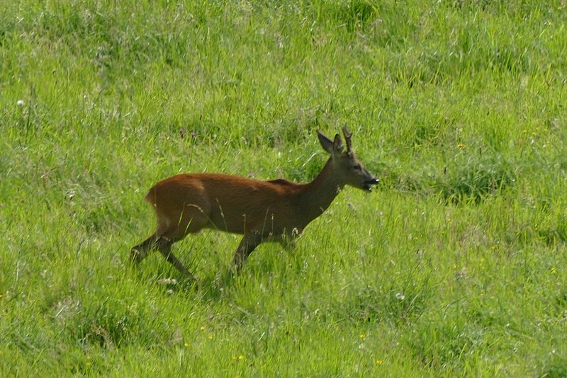
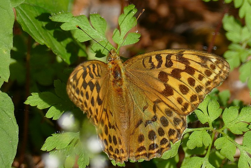
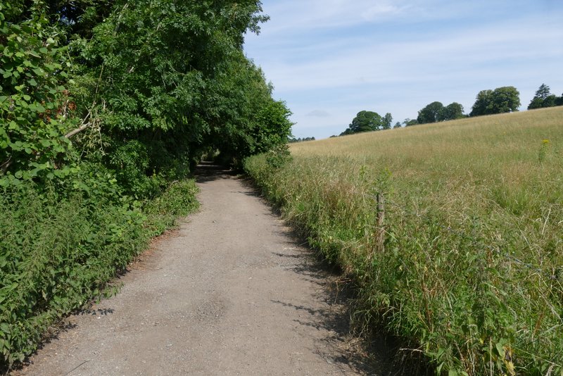
I parked in the centre of Chenies where I usually do, close to the old pump on the green (Grid Reference TQ 016984). Actually I've since discovered the pump isn't old, it had a plaque on it stating it was erected to mark the Queen's Silver Jubilee in 1977 - and when I came back, I noticed the pump itself had disappeared, presumably stolen. I started walking about 9:45am, heading from the village green down the road to Chesham, but leaving it as soon as it left the village (before it started going downhill) by taking a track called Holloway Lane on the right. After a few hundred yards, just after the 'lane' turned left, I took a path that forked half-right and dropped downhill across a large paddock. There were no horses in this paddock today, but in its middle I immediately spotted a Roe Deer! In the valley bottom I rejoined Holloway Lane (which had turned right), and followed it to the right for about a quarter of a mile. When it turned left I went straight on along a footpath through Mount Wood, where I soon spotted a Silver-washed Fritillary - with that and the Roe Deer, the walk had got off to a great start! After about half a mile, I emerged from the other end of the wood at Sarratt Bottom.
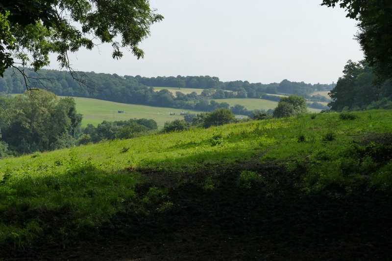
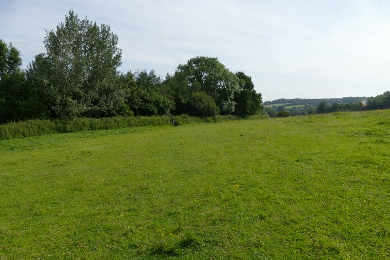
First view of the Chess valley, from the start of Holloway Lane
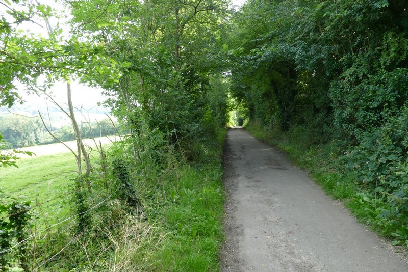
Holloway Lane
The path that cuts a corner off Holloway Lane, dropping down into the Chess Valley
The path just before it reaches Holloway Lane
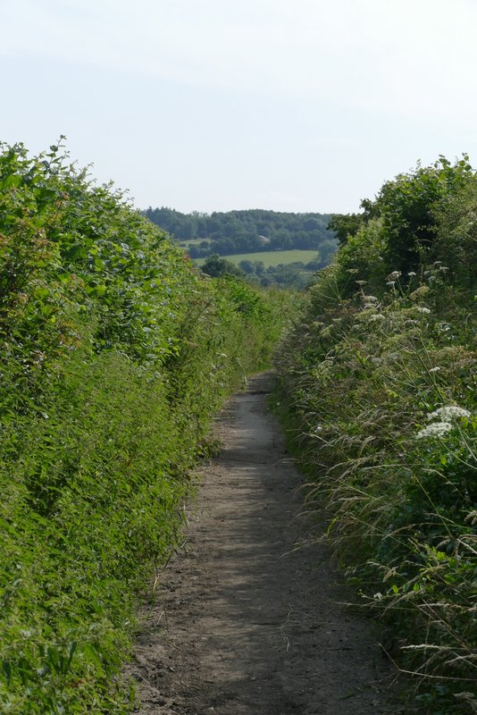
Holloway Lane again
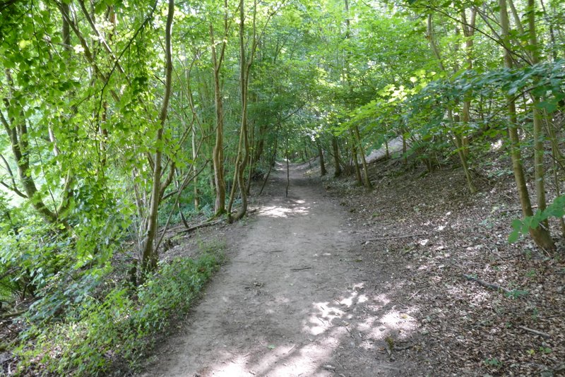
The path through Mount Wood
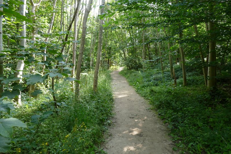
The path through Mount Wood
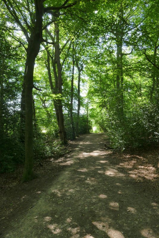
The path through Mount Wood
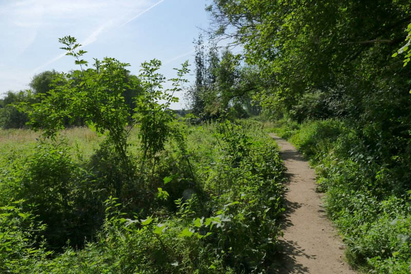
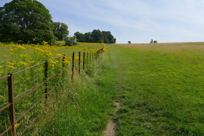
I continued straight ahead, following the path past the overgrown area at Sarratt Bottom and then on through a long thin pasture to reach North Lane. Here I turned left and soon crossed the river Chess at Sarrattmill Bridge. After another 100 yards or so (just after the end of a parking area on the right) I turned left along a footpath that followed a roughly surfaced drive. As I reached a cottage on the right, I turned right and followed a path that went steeply up a grassy hillside, alongside a fence on my left. At the top of the slope I crossed a drive and continued straight on a short way to reach the end of a lane at Church End, a hamlet within the parish of Sarratt.
The path continuing ahead at Sarratt Bottom
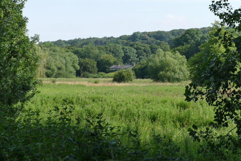
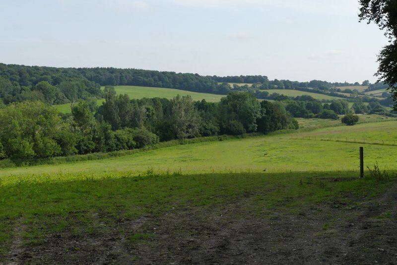
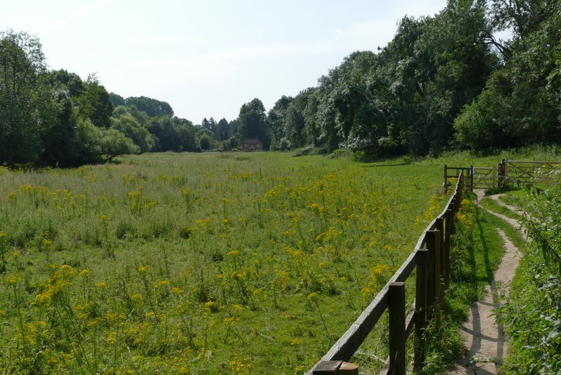
View across Sarratt Bottom
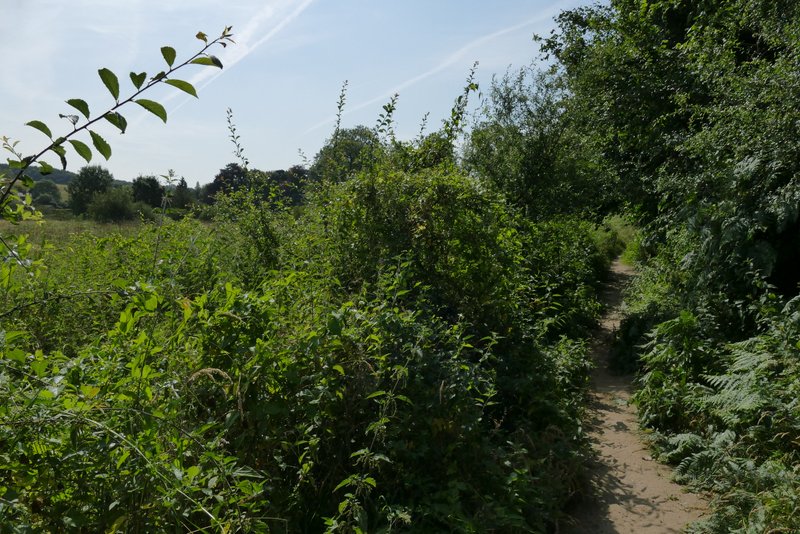
The path continuing ahead at Sarratt Bottom
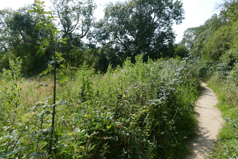
The path continuing ahead at Sarratt Bottom
The path continuing to North Lane and Sarrattmill Bridge
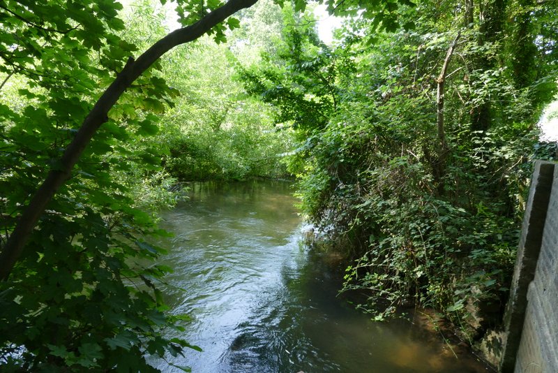
The river Ches from the bridge in North Lane
The footpath going back northwest from near Sarrattmill Bridge
The path up to Church End, Sarratt, from the Chess Valley
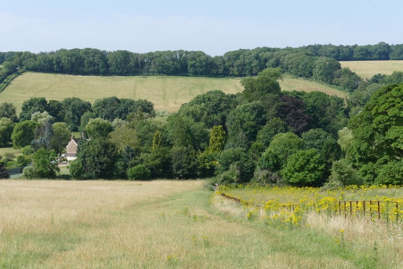
Looking back over the Chess Valley from the path up to Church End, Sarratt