Pete's Walks- Chenies, Chipperfield Common, Ley Hill (page 3 of 6)
If you are considering walking this route yourself, please see my disclaimer. You may also like to see these notes about the maps and GPX files.
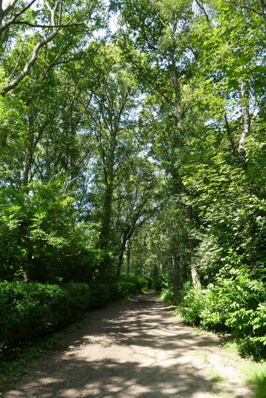
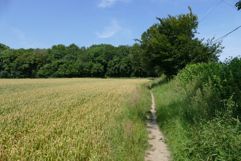
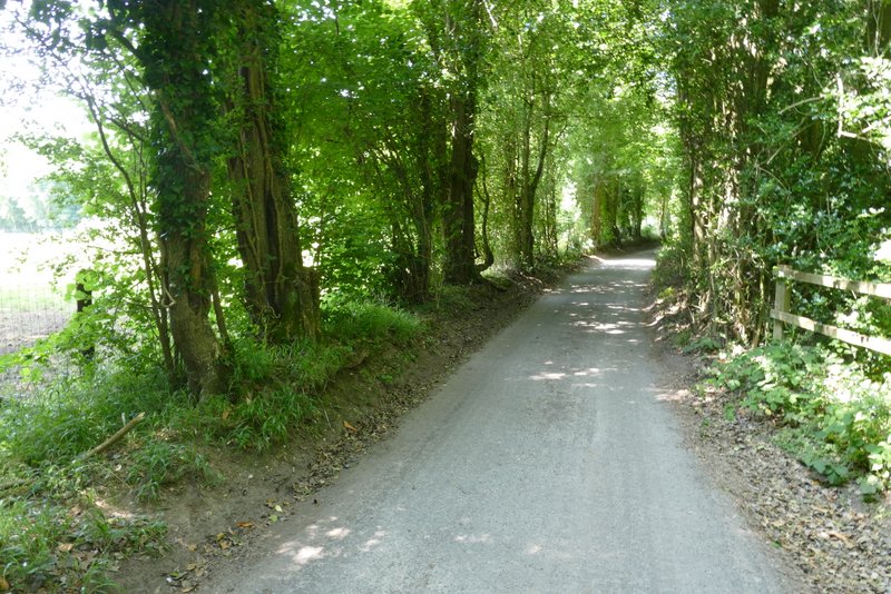
I turned left and followed a bridleway along the southern edge of Chipperfield Common for just over half a mile. I passed a few cottages on my left, and crossed a couple of drives (where I took care to follow the blue bridleway waymarks rather than any of the yellow waymarks for the several footpaths that branched off into the wood).
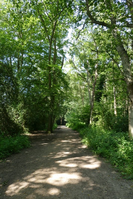
The bridleway along the southern edge of Chipperfield Common
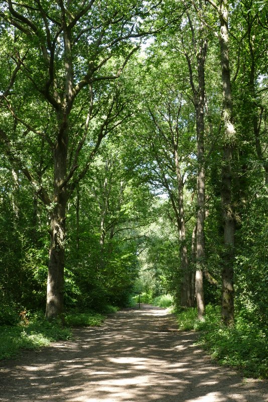
The bridleway along the southern edge of Chipperfield Common
The bridleway along the southern edge of Chipperfield Common
The bridleway along the southern edge of Chipperfield Common
The bridleway along the southern edge of Chipperfield Common
The bridleway along the southern edge of Chipperfield Common
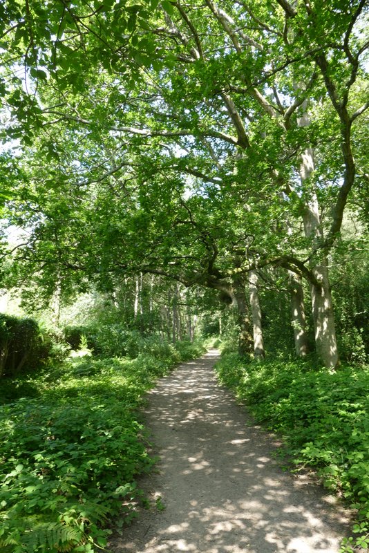
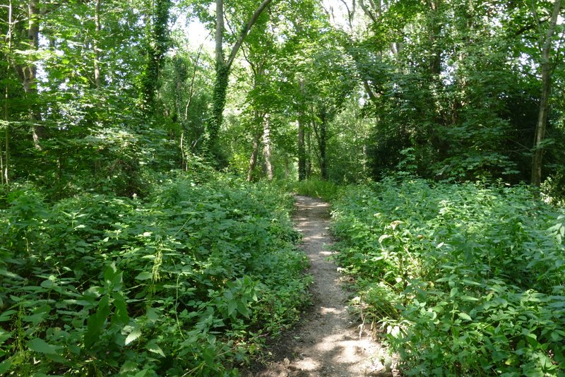
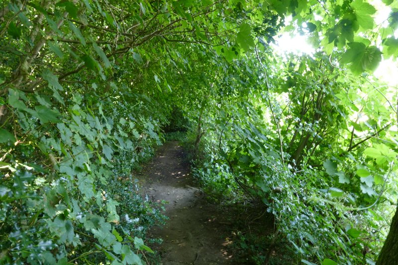
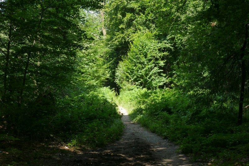
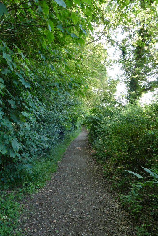
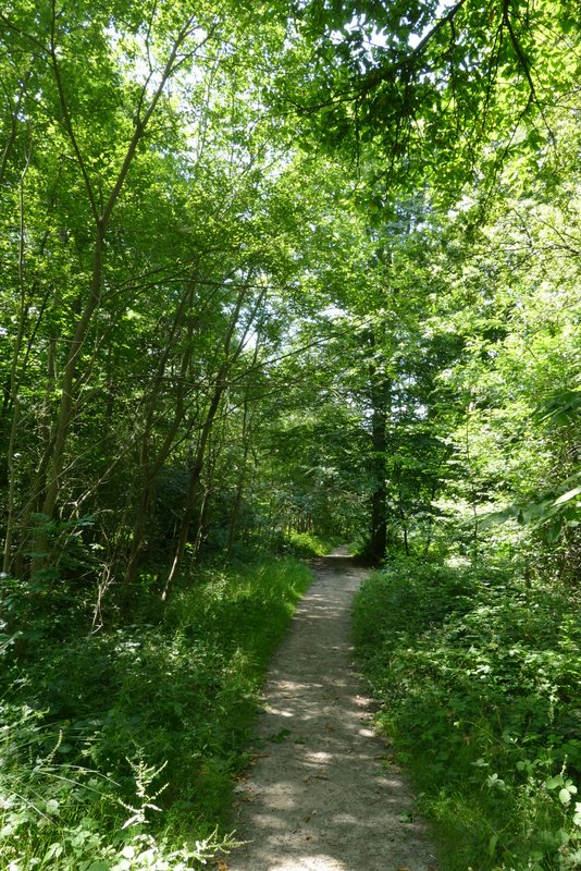
The bridleway eventually ended at a road T-junction, where I turned sharply left along a road in Belsize. I only went a short distance though, before turning right along a footpath that followed the right edge of a large cornfield. The path then continued for a few hundred yards through Woodman's Wood. When a bridleway crossed the path in the middle of the wood, I turned right, following the bridleway as it slowly curved left in almost a large semi-circle. It ended when it reached Hollyhedges Lane.
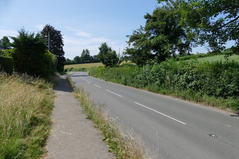
The road at Belsize
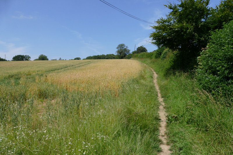
The path from Belsize to Woodman's Wood
The path from Belsize to Woodman's Wood
The path continuing through Woodman's Wood
The bridleway in Woodman's Wood
The bridleway in Woodman's Wood
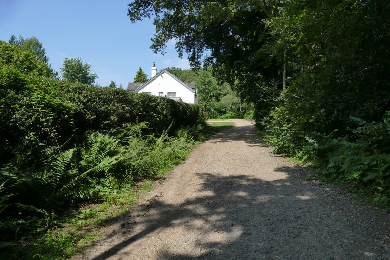
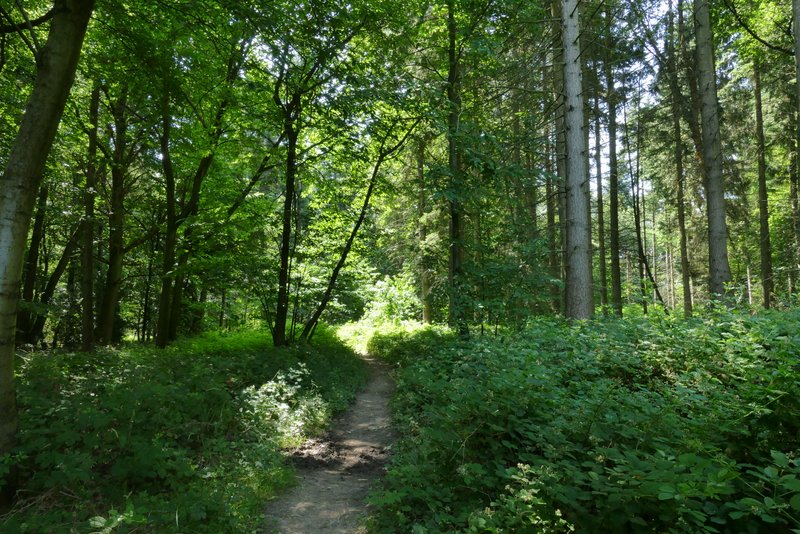
I turned right along the lane but only for one or two hundred yards, soon turning left onto a broad footpath, starting at a gate, that initially ran between a wood on my left and a hedge on my right. It then continued for several hundred yards through a wood named Lower Plantation. When the path ended at a lane junction on the other side of the wood, I took the lane going straight on, which brought me into the village of Flaunden.
Hollyhedges Lane - it doesn't do so here, but further on (after I turned off it today) it lives up to its name!
The start of the path to Lower Plantation
Lower Plantation
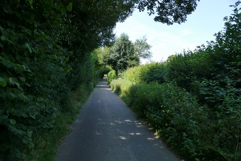
The lane to Flaunden