Pete's Walks- Chenies, Chipperfield Common, Ley Hill (page 4 of 6)
If you are considering walking this route yourself, please see my disclaimer. You may also like to see these notes about the maps and GPX files.
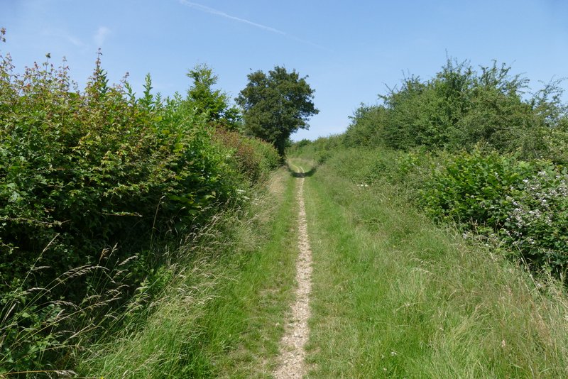
I went straight on at a crossroads in the centre of the village, soon passing the Green Dragon pub on my right and following the road as it turned right by the village church (there was a nice view from a gateway just left of the church). I stayed on the road as it left the village and gradually descended over about half a mile into the valley of Flaunden Bottom. When the road turned left in the valley bottom, I went straight on along a broad hedge-lined bridleway.
The road through Flaunden (after I went straight on at a crossroads)
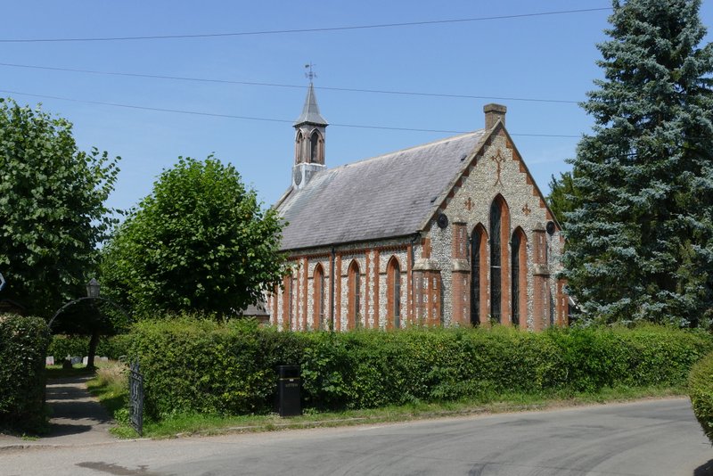
Flaunden church
View from near Flaunden church
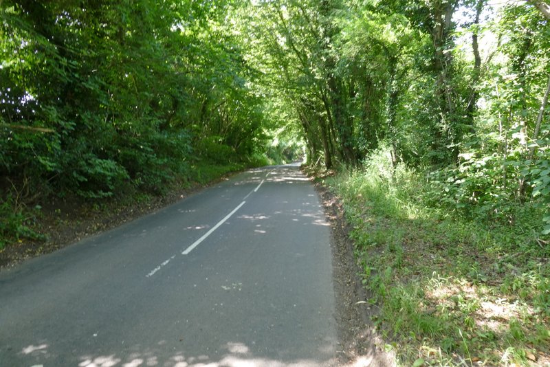
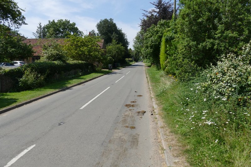
The road from Flaunden heading down to Flaunden Bottom
The road from Flaunden heading down to Flaunden Bottom
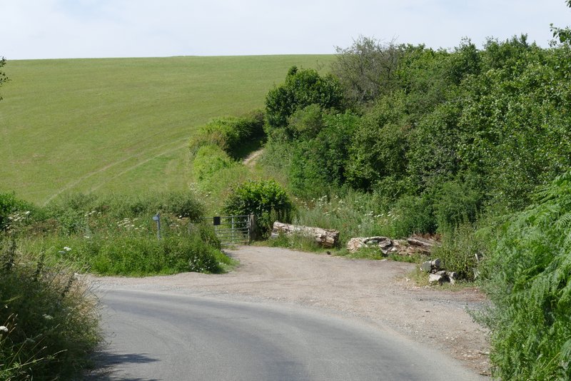
This is where I left the road in the valley bottom and took the hedge-lined bridleway starting up the other side of the valley
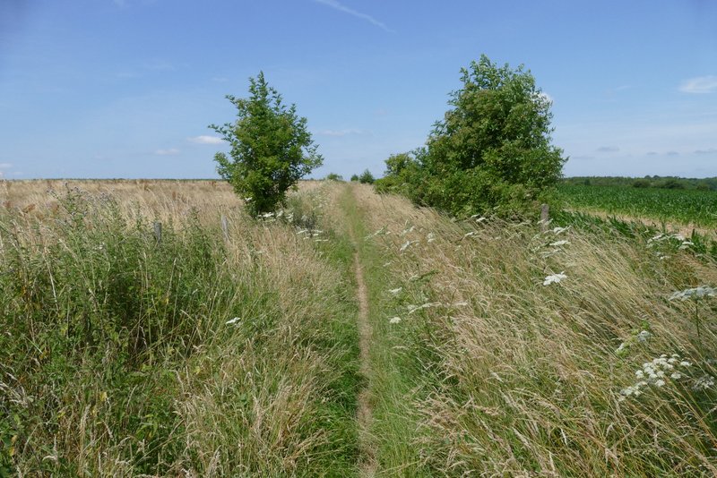
The bridleway rose steeply for a few yards before turning right and running flat for a while. It then turned left and again rose steeply for a few yards, before once more turning right and levelling out. The bridleway then ran between a small wood on my left and a hedge on my right. Beyond the wood there were hedges either side that gradually petered out, though a fence appeared on my left. Eventually the bridleway turned left, just before reaching a lane.
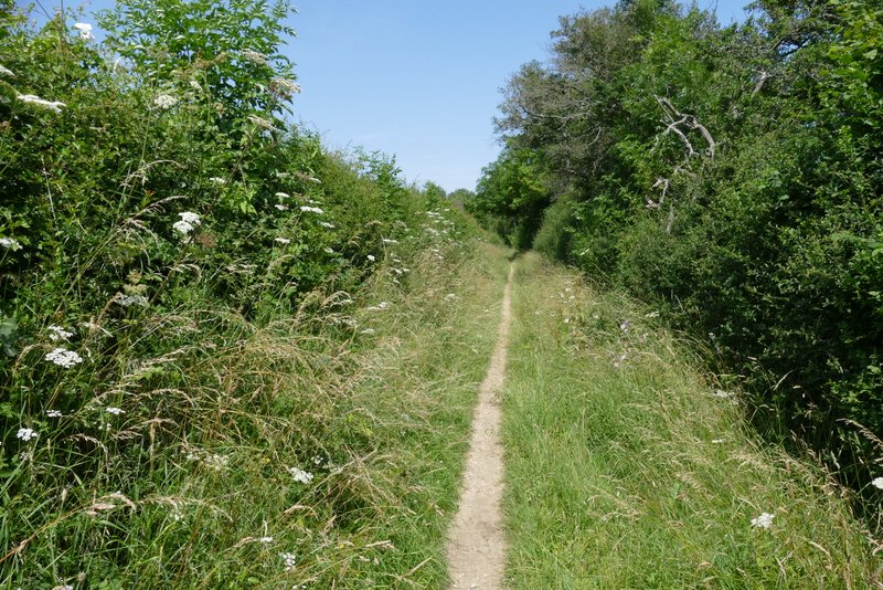
The bridleway from Flaunden Bottom to Ley Hill
The bridleway from Flaunden Bottom to Ley Hill
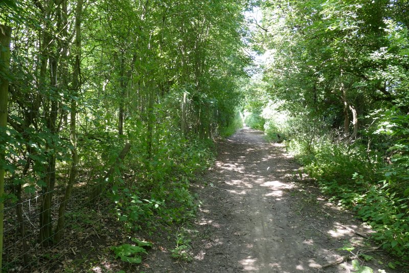
The bridleway from Flaunden Bottom to Ley Hill
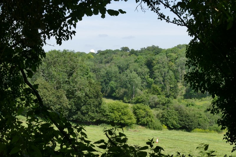
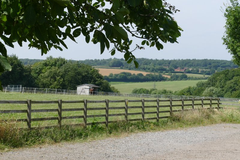
View right from the bridleway from Flaunden Bottom to Ley Hill
The bridleway from Flaunden Bottom to Ley Hill
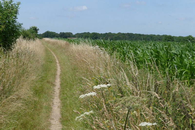
The bridleway from Flaunden Bottom to Ley Hill
I turned right along the lane, heading towards Ley Hill, but soon turned left down another lane. When I came to a narrow gap in the hedge or bushes on my right, I went down it a few yards to a fingerpost on the edge of a fairway of the Chesham and Ley Hill golf course. Two footpaths forked from here, I wanted the left fork but but I could only see a waymark straight ahead for the other path. So I crossed the fairway going slightly left and took a golfer's path on the other side. I went round the back and far side of a tee, then turned right to go behind another tee and in front of a third tee. I then turned immediately right into a wood.
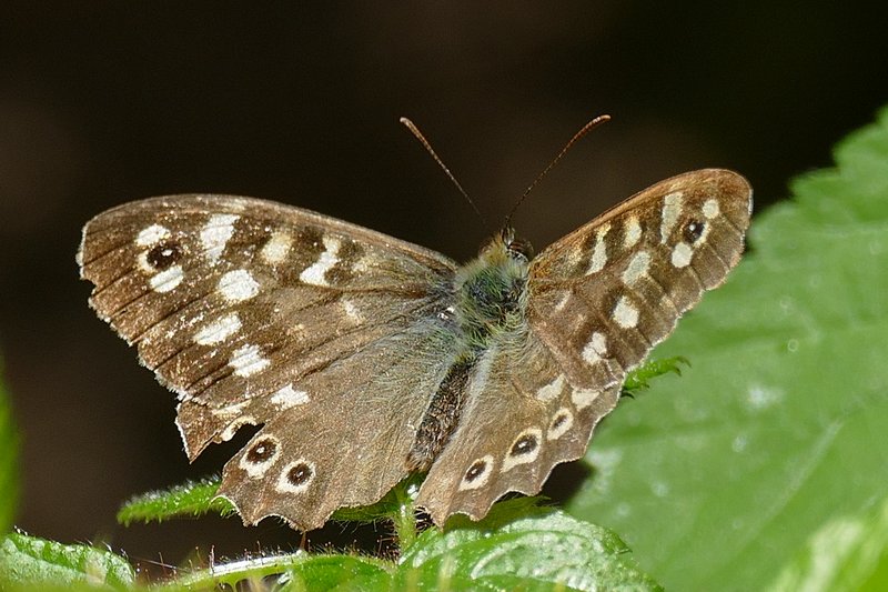
Since I was last here some more paths had been added to the wood along with some other features. I soon came to wooden model of a 'doodlebug' or V1 bomber, a notice board informing me that apparently one exploded near here during World War II, fortunately not causing any deaths or injuries. I kept more or less straight on at each path junction I came too (or very slightly left), and passed an old well that had been re-instated, on my left. There were benches by both the doodlebug and the well, which was good news for me as they made a good lunchtime stop for me on this route (I sat next to the doodlebug, and an obliging Speckled Wood butterfly stopped by to pose for its photograph).
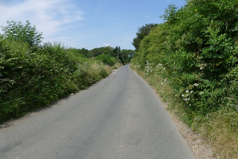
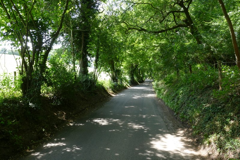
The lane into Ley Hill
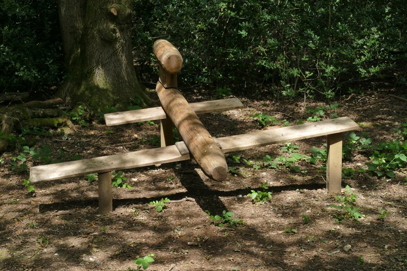
Wooden model of a 'doodle bug' in the wood in the golf course at Ley Hill