Pete's Walks- Circular walk from Amersham Old Town (page 1 of 5)
If you are considering walking this route yourself, please see my disclaimer. You may also like to see these notes about the maps and GPX files.
Google map of the walkDownload GPX file of the walk
I did this circular walk of about 12.8 miles on Sunday, 15th August 2021. It was a repeat of a walk I did in May 2016
I parked in the large car park in Amersham Old Town (Grid Reference SU 960974) which is free on Sundays and Bank Holidays, and started walking at about 10.40am - I actually waited in my car for about 40 minutes before setting off, because of rain (the BBC weather app said there was a 13% chance of rain, yet it had rained most of the 45 minutes of my drive to Amersham as well as the time I spent waiting in my car at the car park). From the car park I turned right, and followed the attractive High Street for about half a mile, passing numerous old houses and several coaching inns. I continued along the road as it left the town, the paved footpath soon veering slightly left to run alongside the A413 main road for about a hundred yards. The path then went down the slight embankment before turning left to pass under the road, beside the river Misbourne, and brought me to the entrance to the grounds of Shardeloes, a grand house up on the hillside above the Misbourne Valley. I went a few yards down the drive, then turned right and followed a smaller drive round the edge of the cricket ground here as far as the pavilion, then cut across the grass on my right to a gate.
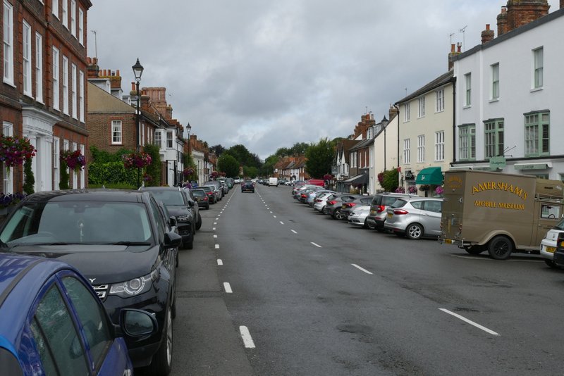
Part of the High Street, Amersham Old Town
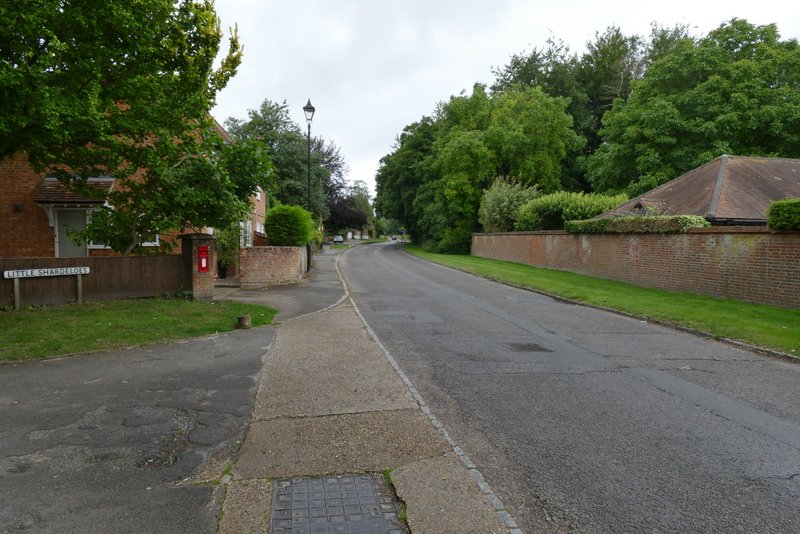
The road out of Amersham Old Town
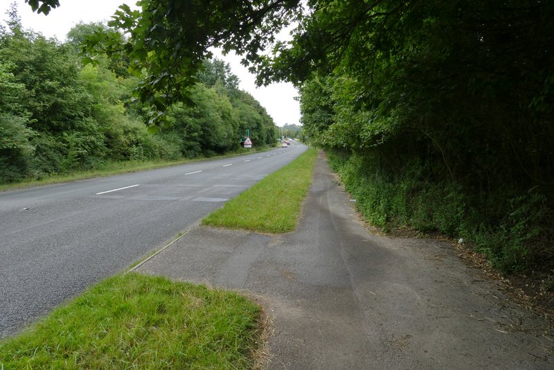
The path running next to the A413
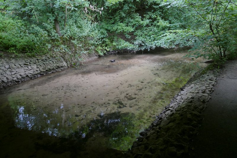
The river Misbourne flowing through an underpass below the A413 - when I first saw it I thought the river was badly polluted, then I realised that I wasn't looking at muddy brown water, I was looking at the river bed through crystal clear water, just as a chalk stream should be
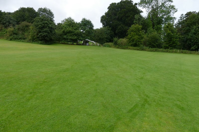
The path behind the cricket pavilion
A path led on between fences for a short distance, with overhanging branches almost forming a tunnel. The path then continued through the grounds of Shardeloes, with the big house up hill on my left and a lake nearby on my right. I've been here many times before and it's always a very pleasant path to walk. I turned slightly left as I approached a fence, so as to come to a gate. The path continued the other side, going straight on along the valley to join a track, with a few mature dotted about this part of the park around Shardeloes.
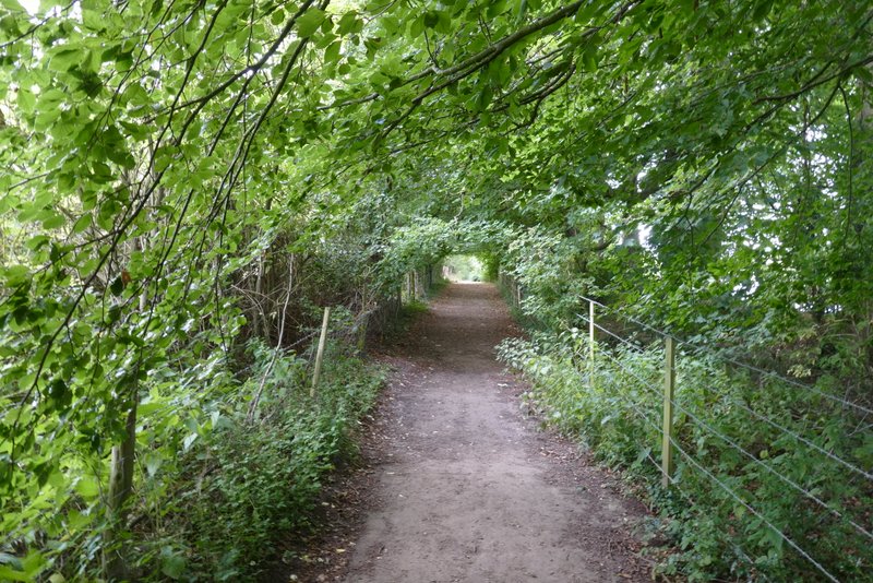
The path from the cricket ground to the grounds of Shardeloes
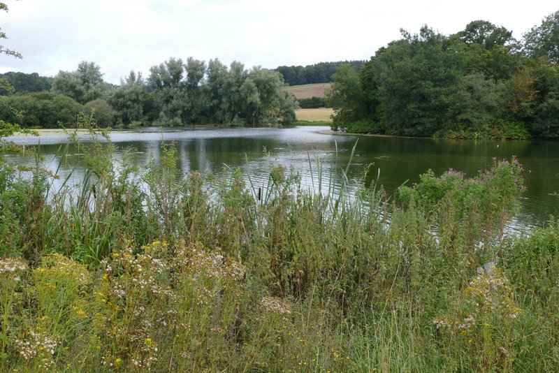
The lake below Shardeloes - it was formed by damming the river Misbourne, as part of the work carried out to improve the grounds by Humphrey Repton
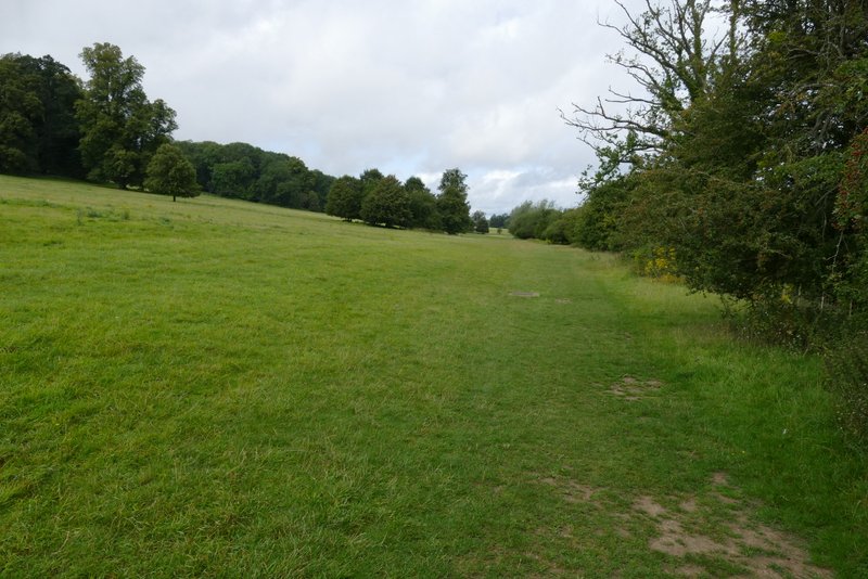
The path through the grounds of Shardeloes
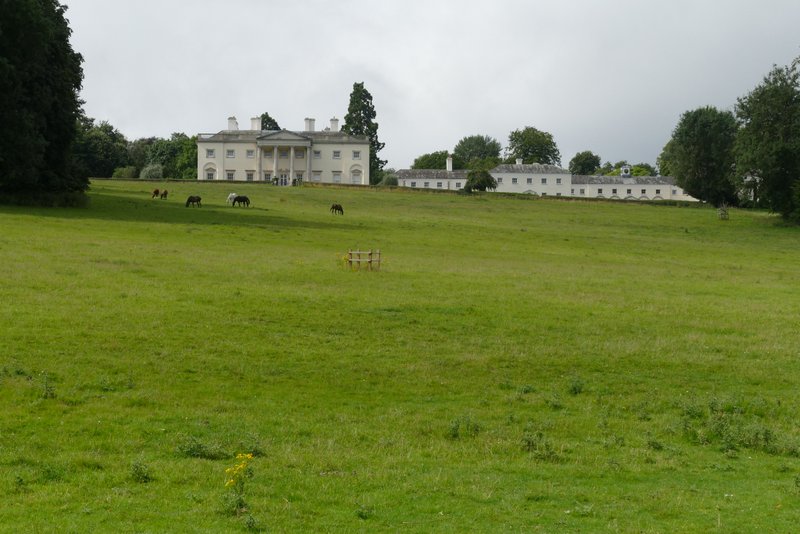
Shardeloes - it's now divided into a number of apartments. Apparently Sir Tim Rice was one of 3000 children born there when it was requisitioned as a maternity hospital for evacuated women during World War II.
The path through the grounds of Shardeloes
The path through the grounds of Shardeloes
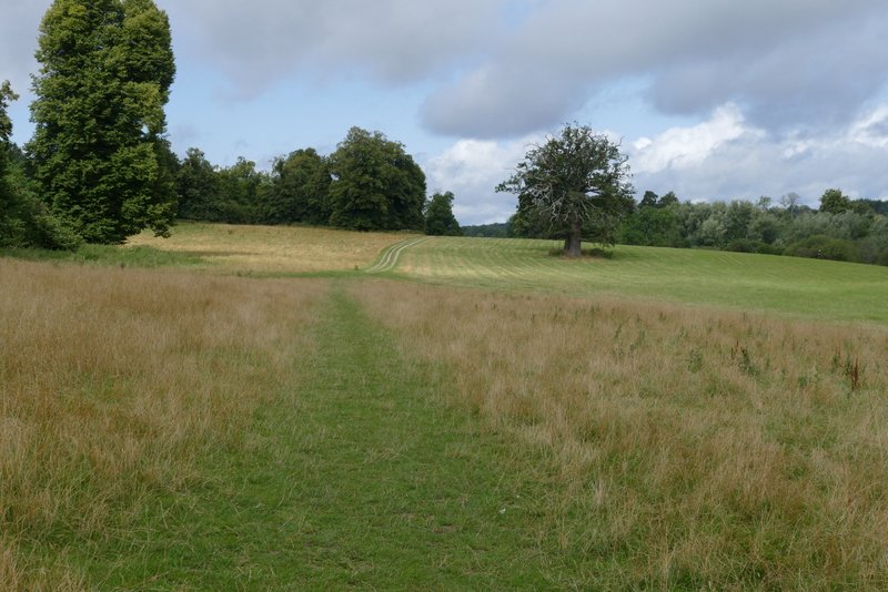
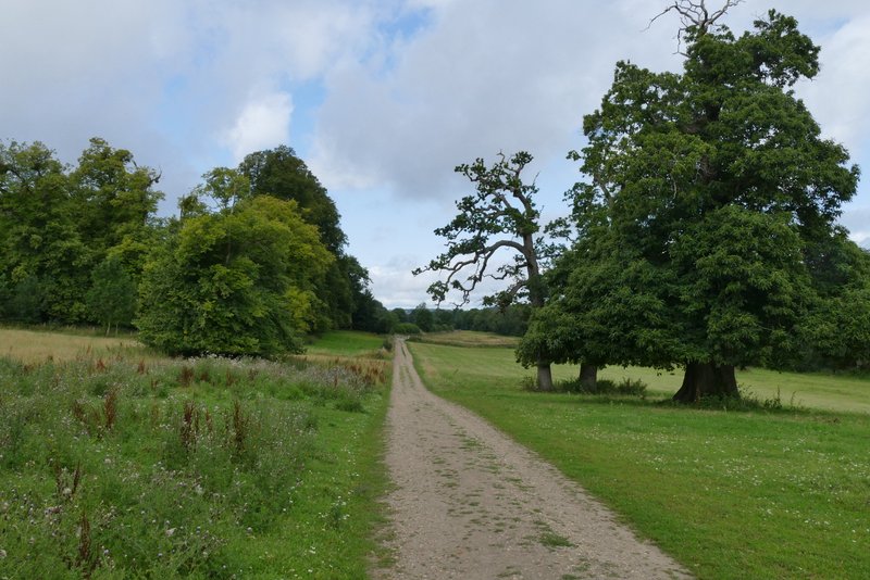
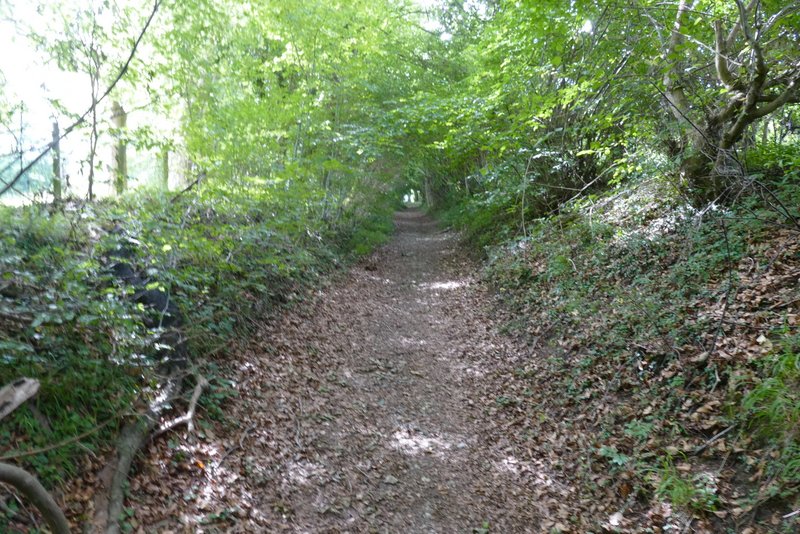
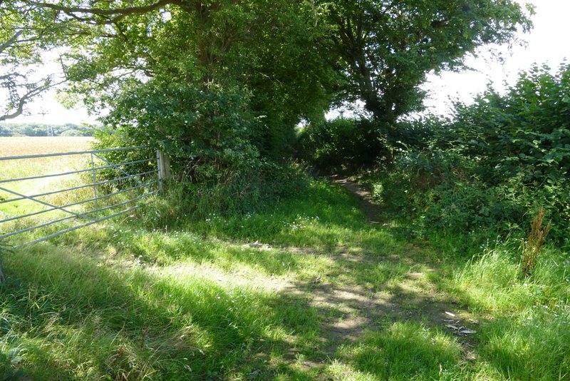
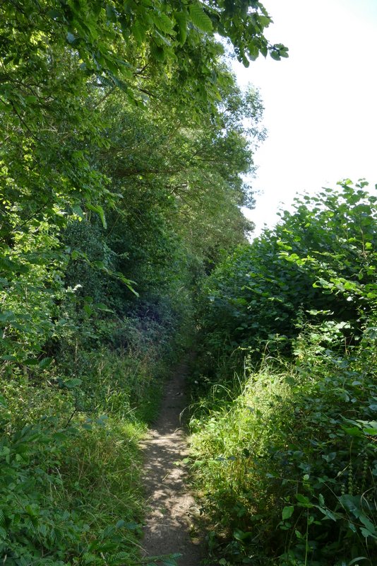
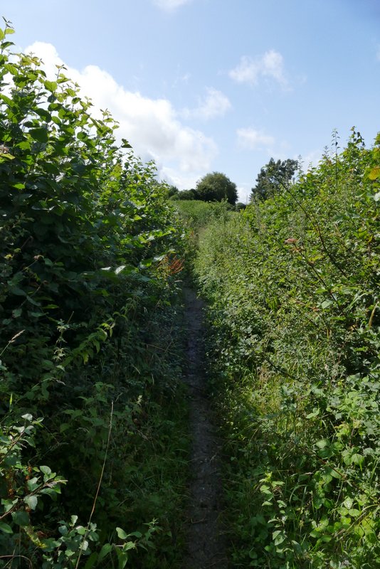
When I reached the next fence, I went through a gate and turned left onto a bridleway named Mop End Lane. The bridleway headed uphill out of the valley, at not too steep a gradient, with a hedge on my right and soon a bit of a wood on my left - I'd been concerned that the paths (and especially bridleways) might be very muddy after recent rainy weather, but this first section was very stony and well-drained and in fact I would come across very few patches of mud today. As I reached Todd's Wood on my right, there was a gap in the hedge giving a nice view over the Misbourne Valley near Little Missenden. Beyond the wood, the bridleway levelled out and continued for about a mile between hedgerows. Most of the way there was just a very narrow gap in tall vegetation and I had a hand up in front of me pushing things out of the way. Somewhere along here I spotted my a Magpie moth. Eventually the path reached the hamlet of Mop End (part of Little Missenden parish), where it turned slightly right to reach the entrance to Mop End Farm. Here I turned left, onto a surfaced lane.
Near the start of the section along Mop End
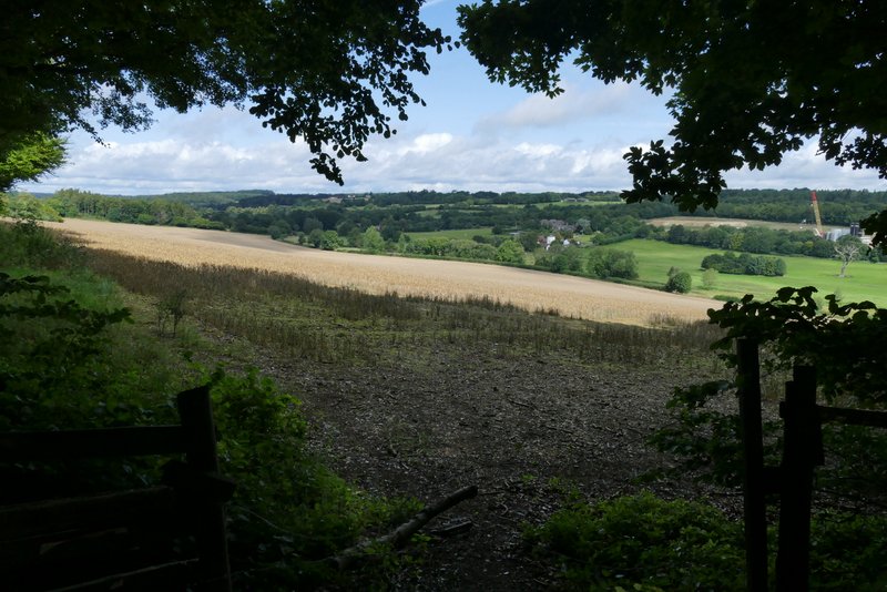
View right from Mop End Lane, over the Misbourne Valley near Little Missenden
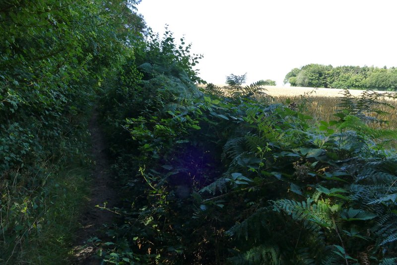
Mop End Lane
Mop End Lane
Mop End Lane
Mop End Lane, now approaching Mop End
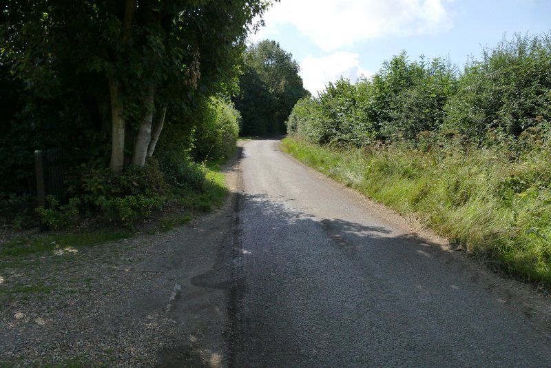
Mop End Lane passing through Mop End