Pete's Walks- Circular walk from Amersham Old Town (page 2 of 5)
If you are considering walking this route yourself, please see my disclaimer. You may also like to see these notes about the maps and GPX files.
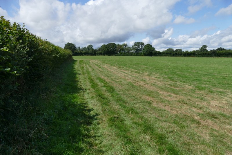
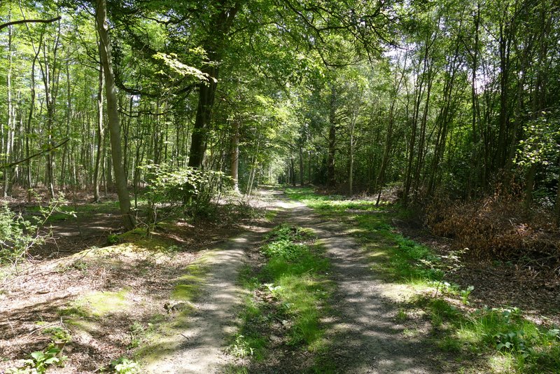
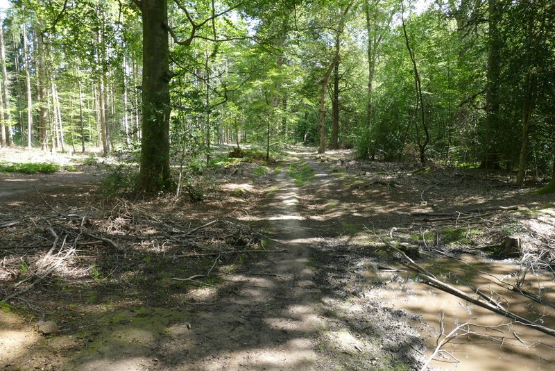
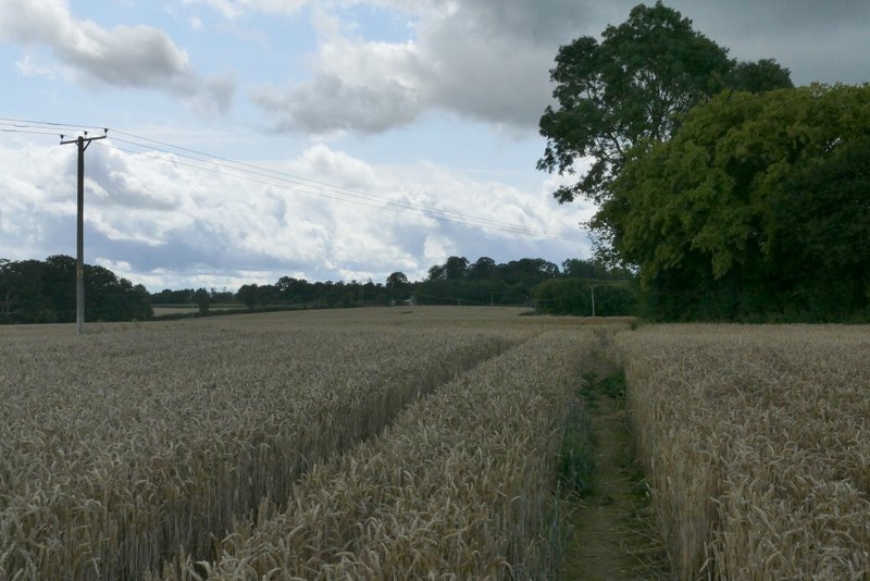
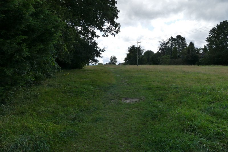
Just a short distance down the lane, I went through a gate on the right, where two footpaths started. I normally take the left-most one, which goes in a straight line to Beamond End, but this route goes the other way just for variety (I went this way for the first time when I did this route in 2015, and I think I've only walked it one other time since). The path followed the hedge round the right of the field, switching to the other side of the hedge at some point. It continued beside the hedge until a corner where the hedge briefly turned left, where path went half-right across the field to a metal kissing-gate on the other side. I then turned left along Toby's Lane (like Mop End Lane, now a hedge-lined bridleway) but only for a couple of hundred yards or so until the direct path to Beamond End crossed it. I turned right, following the path across a large pasture (there were cows over to the left, with an electric fence running along that side of the path), then continued past some residences in Beamond End to reach Beamond End Lane. Here I turned left, soon going more or less straight on at a junction where the lane ended, and a few yards further on reached the A404.
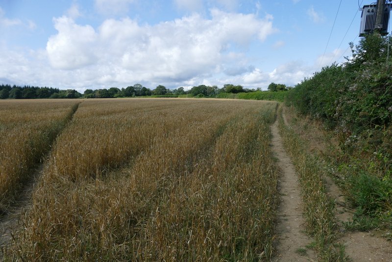
The path I took from Mop End to Beamond End (you can see the direct path I usually take going through the crop on the left of the photo)
The path from Mop End to Beamond End
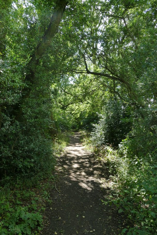
Toby's Lane
The path from Mop End to Beamond End (back on the direct path)
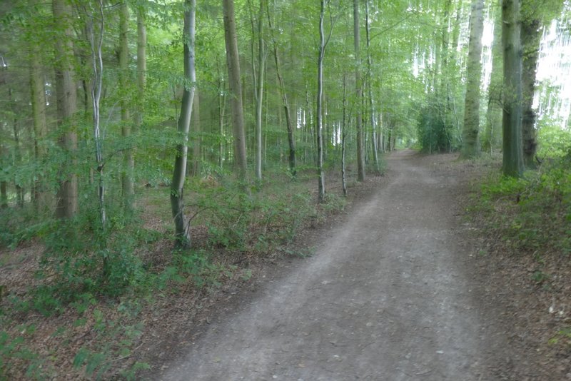
Across the main road I entered Penn Wood. I soon came to a junction where the path split into three (left, half-left and straight on )where I turned left. There were actually two paths going left, just a few yards apart, I happened to take the rightmost one. After a while I crossed a track (not shown on the OS map) where looking to my left I could see the end of Toby's Lane across the A404. There was just the one path now, which passed through a mixture of coniferous and deciduous trees. The path then turned right and, after I went straight on where another path forked half-right, I passed Penn Street church on my left. On coming to a path T-junction, I turned left, passing another side of the church and soon coming to a road in Penn Street.
Penn Wood
Penn Wood
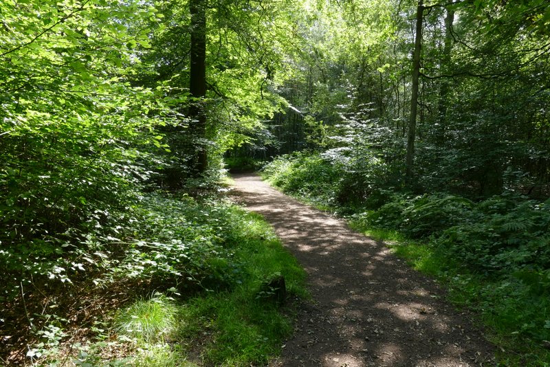
Penn Wood
Penn Wood
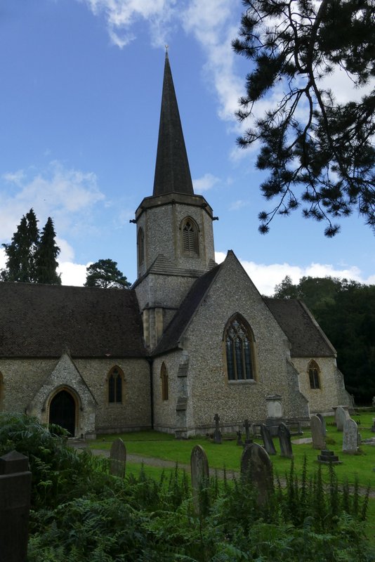
Penn Street Church
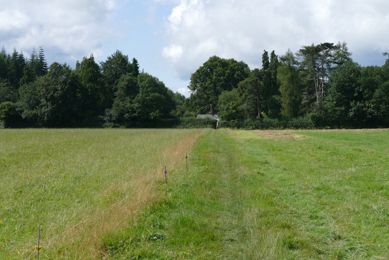
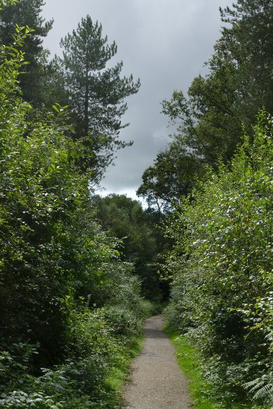
I went a few yards right along the road, then took a path starting on the other side of the road. This soon reached a field, continuing straight on beside a hedge on the left. When the hedge turned left, I turned right on a clear path through the arable crop. I soon had another hedgerow on my right. When I reached a path junction, I was back on familiar ground once more (my usual route between Penn Street and Winchmore Hill) as I followed the path half-left across the field to reach a wood. It was a fairly short section through the wood, then the path crossed another field. The path then ran beside some allotments on my right to reach a lane on the edge of Winchmore Hill. I crossed the lane and continued ahead over an area of grass, and made my way to a seat where I sat and ate my lunch (it was now about 12.40pm)
The footpath from Penn Street
The footpath from Penn Street to Winchmore Hill
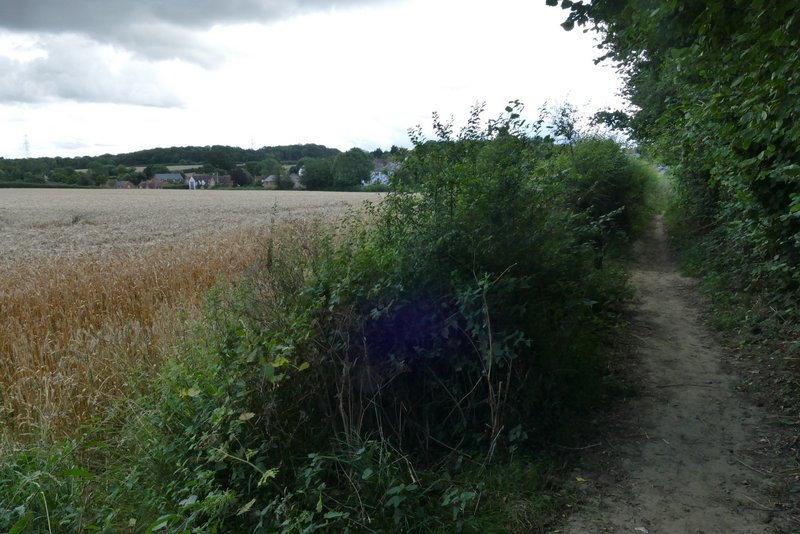
The footpath from Penn Street to Winchmore Hill
Winchmore Hill