Pete's Walks- Circular walk from Amersham Old Town (page 3 of 5)
If you are considering walking this route yourself, please see my disclaimer. You may also like to see these notes about the maps and GPX files.
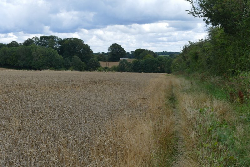
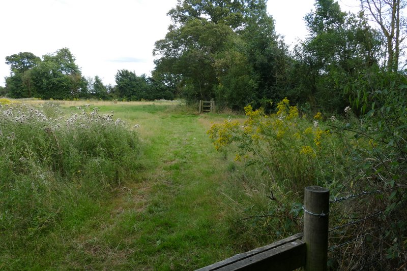
I then continued along the road through Winchmore Hill, with a football pitch on the grass on the right. At a road junction I turned sharply left, passing a pub on my right here, then took a footpath on the right after two or three hundred yards (opposite a chapel). This was soon running between hedges for a short distance before reaching a field, where I continued straight on beside a hedge on my right. After a couple of fields I reached a narrow wood, Coleshill Larches, beyond which the path crossed another arable field, passing a small copse on my left. The path then continued between a wooden fence and a hedge on the left. The path then continued on (there was a fine view on the right here) to pass along a gravel drive between some cottages and reach a street in Coleshill.
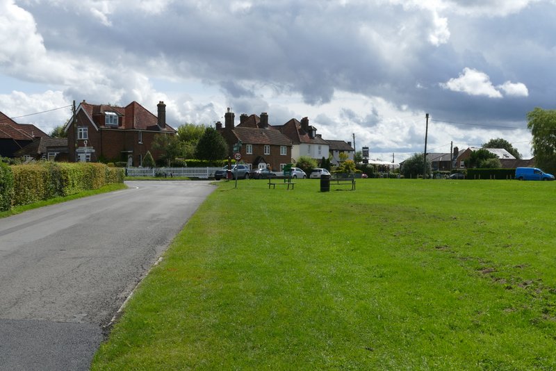
Winchmore Hill
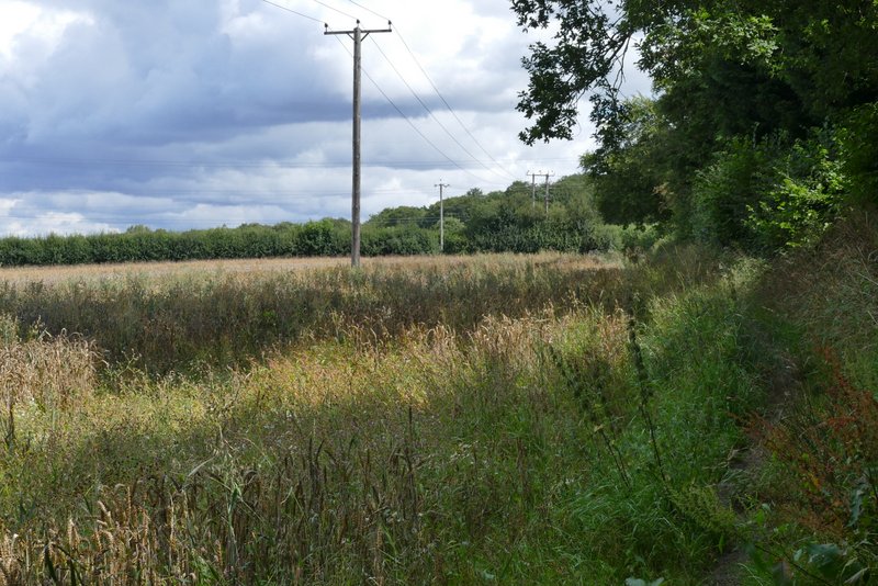
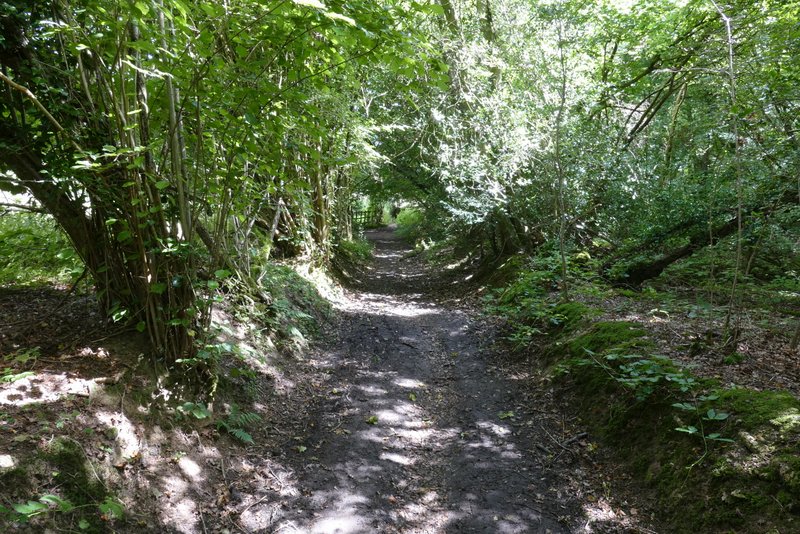
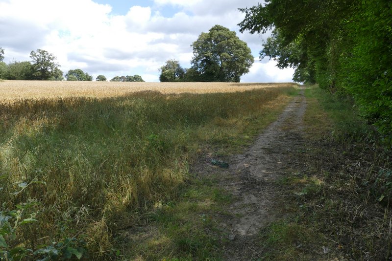
The path from Winchmore Hill to Coleshill
The path from Winchmore Hill to Coleshill
The path from Winchmore Hill to Coleshill
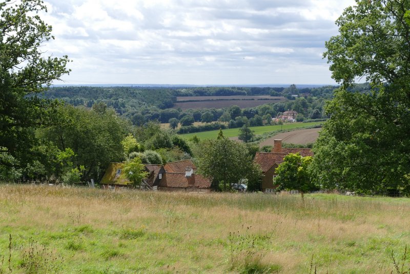
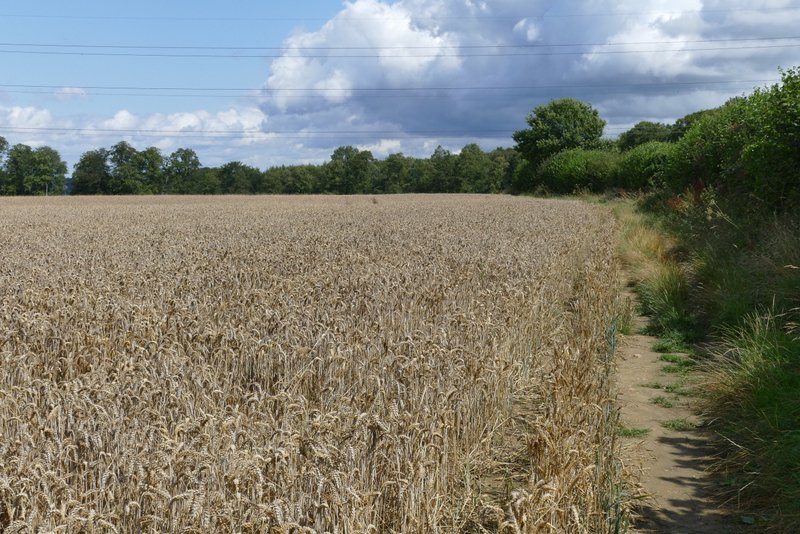
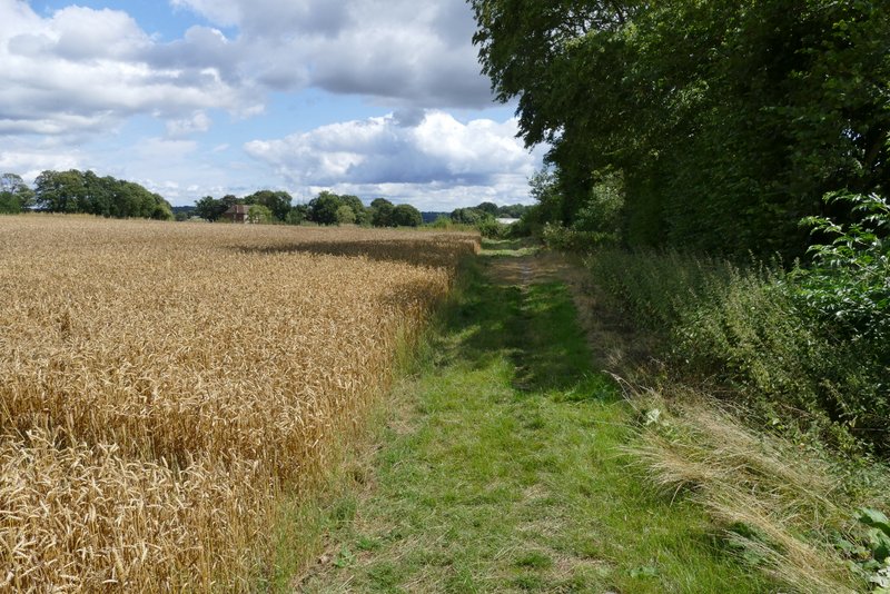
View right, shortly before reaching Coleshill
I crossed the street and went down a path on the opposite side, with the village church on my left. I then crossed another street and continued down the footpath opposite. This went through a pub car park, then to the left of the pub, continuing for some distance between tall hedgerows either side. The path then followed the right edge of another arable field, at first with a small wood on my right and then a long hedgerow. After carefully crossing the rather busy A355 (the road from Amersham south to Beaconsfield), a path continued straight on, along the edge of another field and then between a fence and a hedge, now with a large house called Brentford Grange over on my left.
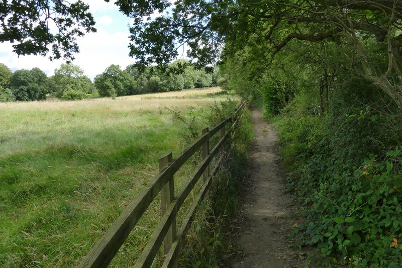
Near the start of the path from Winchmore Hill to Coleshill
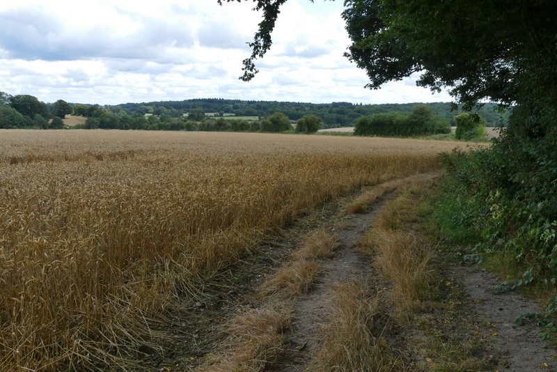
The path from Coleshill - it turns alongside the hedge crossing the centre of the photo
The path from Coleshill, approaching the A355
The path continuing the other side of the A355
The path continuing near Brentford Grange
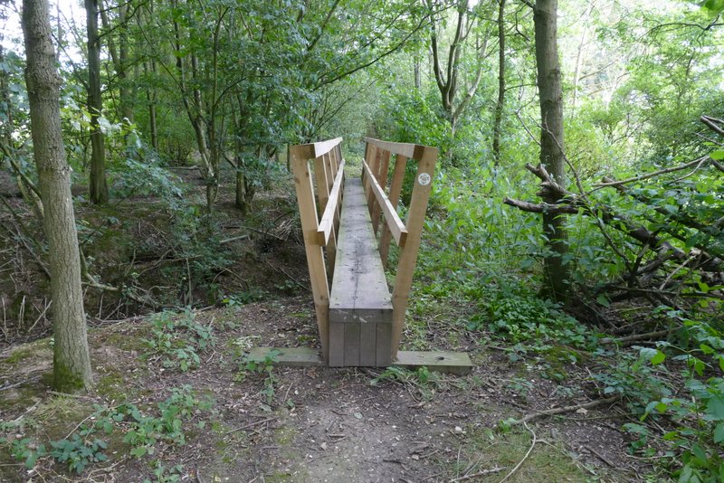
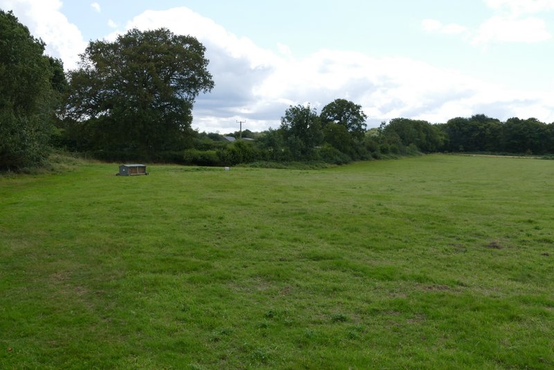
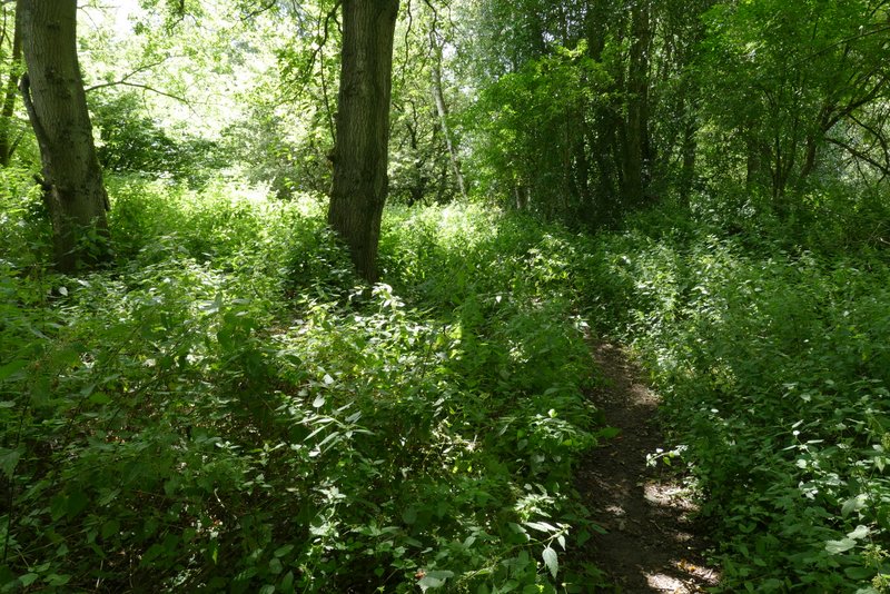
Just after crossing the drive to Brentford Grange, I reached a path junction near Brentford Grange Farm where I forked half-right, crossing over a narrow footbridge and continuing between a couple of ponds. The path then crossed a corner of a pasture or meadow. In the next field, it turned left and followed the hedge along the left side of this large empty pasture. The path eventually reached a wood, continuing through it to reach a lane (Botterells Lane, which I'd come to again a little later).
The start of the path going south from Brentford Grange Farm
The path going south from Brentford Grange Farm
The path going south from Brentford Grange Farm - it follows the hedgerow
The path going south from Brentford Grange Farm