Pete's Walks- Circular walk from Amersham Old Town (page 4 of 5)
If you are considering walking this route yourself, please see my disclaimer. You may also like to see these notes about the maps and GPX files.
Across the lane I continued down a bridleway through a wood, with a field just a few feet to my left. When the field ended, the bridleway turned left, here entering a wood called Highfield Grove. After a short distance the bridleway turned half-right, and continued very pleasantly through the wood. I continued straight on along the bridleway when a footpath went left, then fairly soon after came to a complicated path junction. I took the path going left - the other options were a path going very sharply left, which would have taken me back to the junction I'd just passed, or a path going half-left (or stay on the bridleway). This path continued through the wood (I think somewhere along here it changed from Highfield Grove to Hodgemoor Woods), passing close to a corner of a field on my left at some point, until after about a third of a mile it reached Botterells Lane (which I'd crossed earlier).
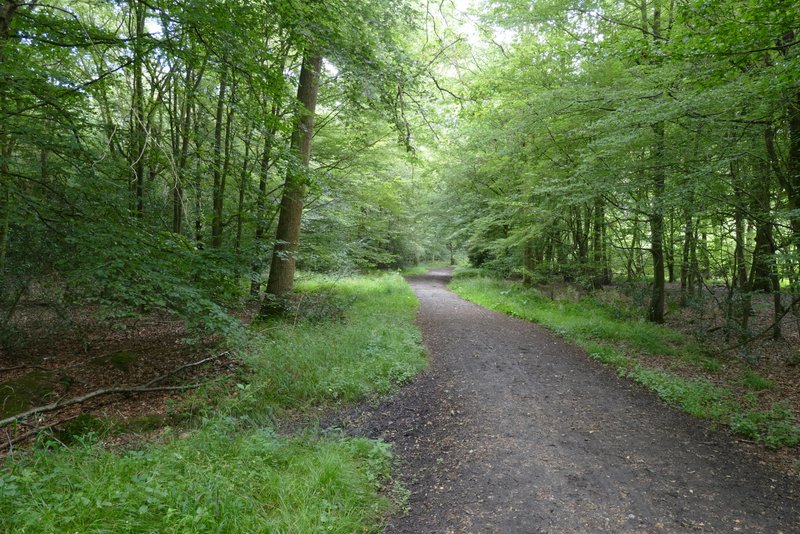
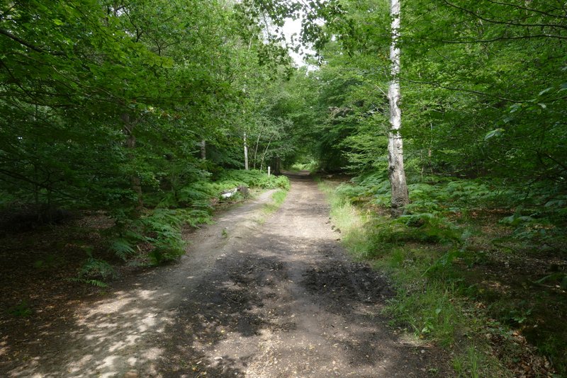
Highfield Grove
Highfield Grove
Highfield Grove
Highfield Grove
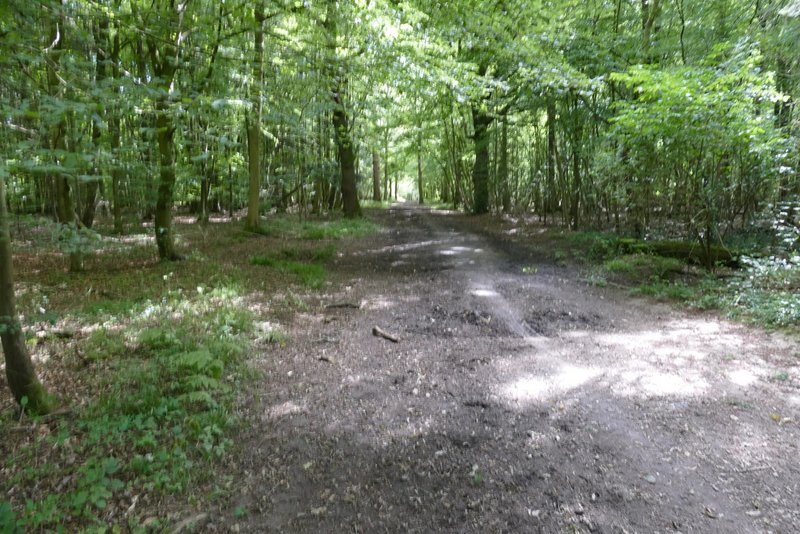
Hodgemoor Woods
I turned right and followed the lane a short distance to a car park on the right. When I did this walk in 2016 I simply continued along the lane, but today I walked through the car park, keeping parallel to the lane, and continued along a path continuing in the same direction. I soon came to a narrow fork in the path, where I kept left, still trying to keep parallel to the lane. After a few hundred yards I went straight on over a track, then when I came to another path junction I turned left and soon came back to Botterells Lane.
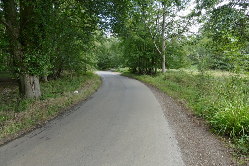
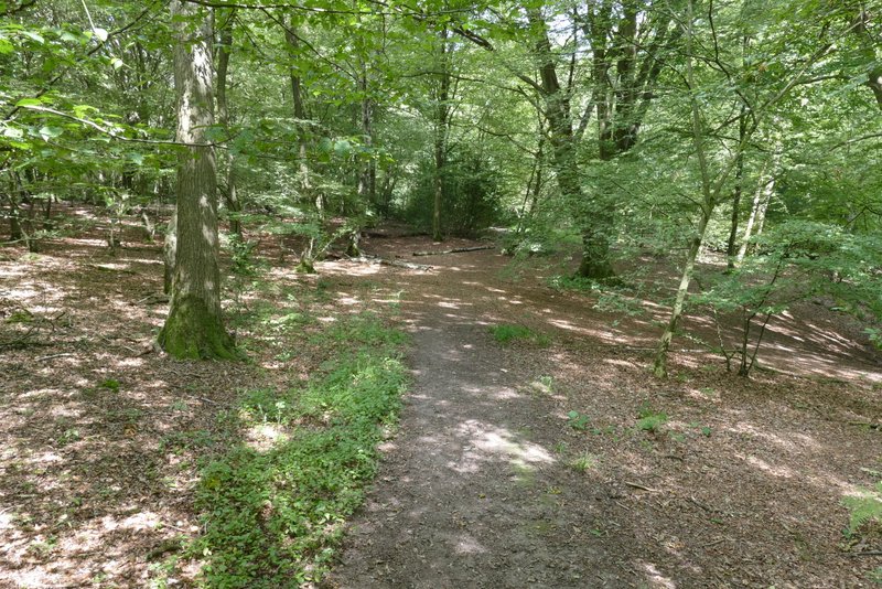
Botterells Lane
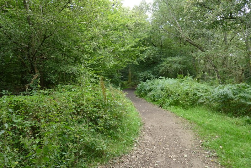
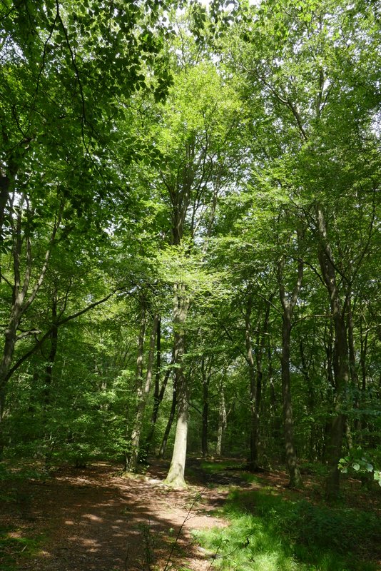
The path parallel to Botterells Lane

The path parallel to Botterells Lane
The path parallel to Botterells Lane
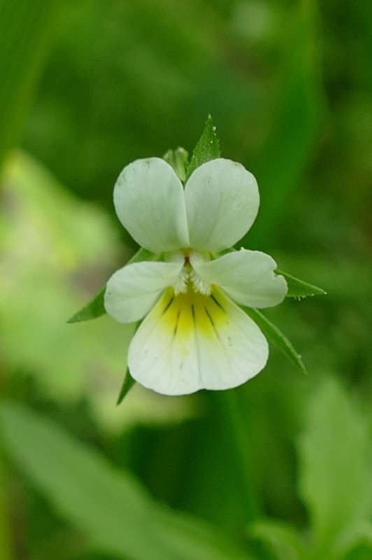
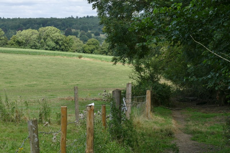
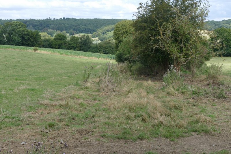
Across the lane I continued through a field of tall maize, where I saw a lot of Field Pansies. On the far side I turned right down a track that soon brought me to a bend on Botterells Lane. Here I turned left onto a footpath, running between hedges and fences and with pastures or paddocks on my right. There was soon a nice far-reaching view on my right. Beyond these fields the path continued straight ahead along a track for a short way, then went right for a few yards before turning left to pass very close to a cottage on my right. The path continued between fences and hedges, soon with a view ahead towards the Misbourne Valley, and then ran downhill between more fences to reach the footpath that runs along the bottom of the Misbourne Valley.
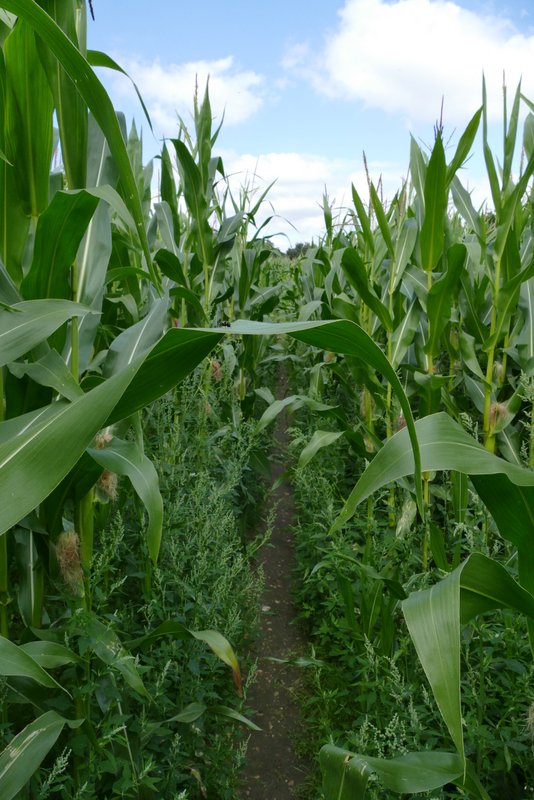
The maize field after I crossed Botterells Lane
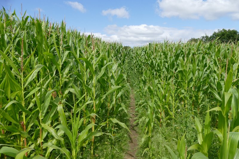
The maize field
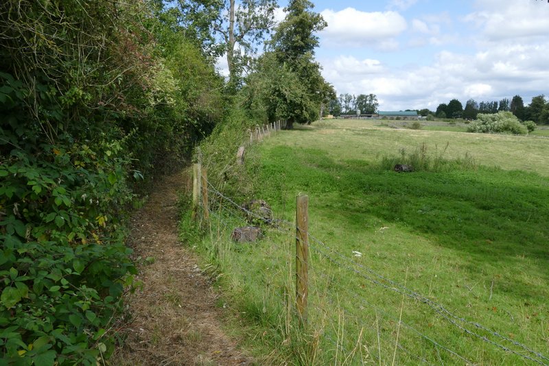
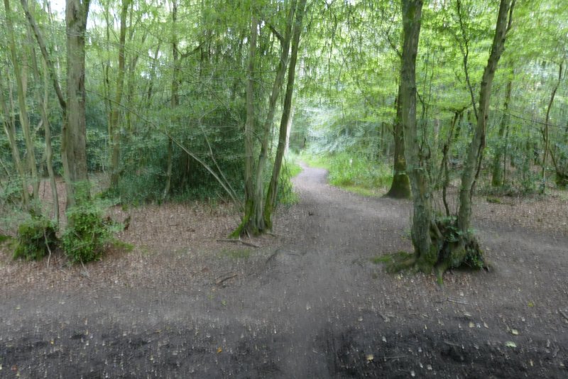
Near the start of the path from Botterells Lane to the Misbourne Valley
The path from Botterells Lane to the Misbourne Valley
The path from Botterells Lane to the Misbourne Valley
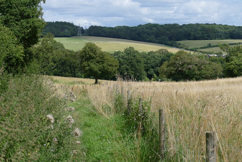
The path from Botterells Lane to the Misbourne Valley
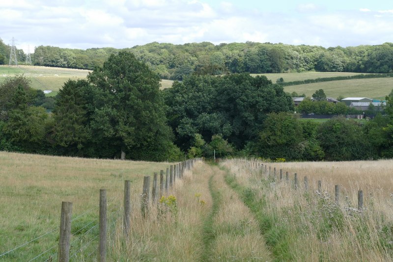
The path from Botterells Lane to the Misbourne Valley