Pete's Walks- Southeast from Cadmore End (page 3 of 6)
If you are considering walking this route yourself, please see my disclaimer. You may also like to see these notes about the maps and GPX files.
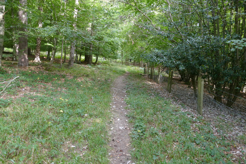
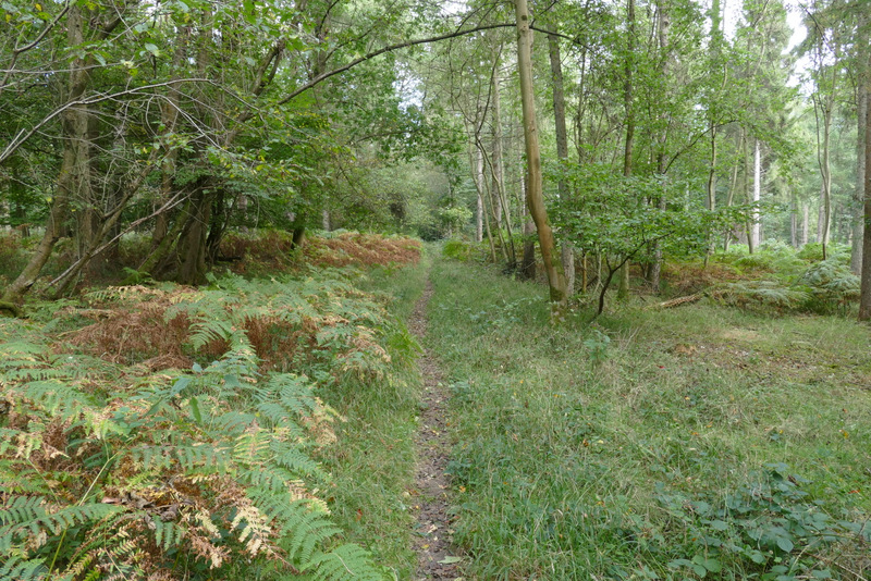
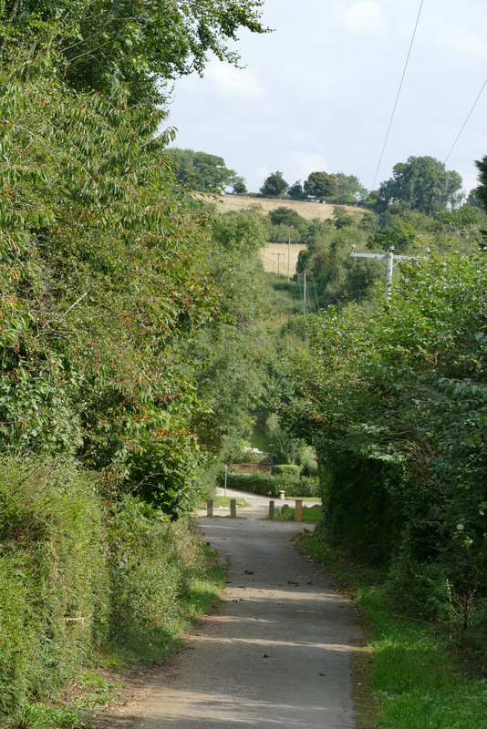
After following the track along the valley bottom for about half a mile, I took a footpath on the left (again waymarked), going straight uphill along a clear grassy track between the trees. There was a wire fence on the right. It was further up here than I remembered before I reached a white arrow on one of the fence posts indicating where the path left the track and went half-right (still following the fence, initially). Further on the path bore slightly left, away from the fence and through a patch of tall bracken. It then crossed a track and continued northwards through the wood. Eventually it dropped down into a slight valley and then briefly rose steeply up the other side, before finally leaving the wood.
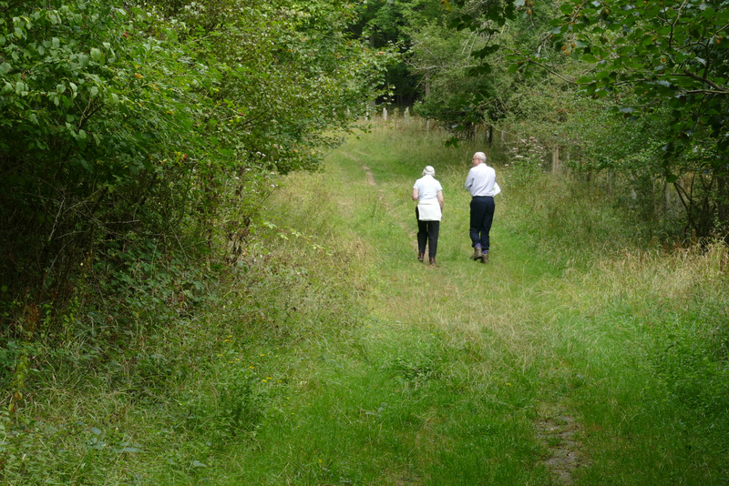
The start of the path through Homefield Wood, after I turned left
Further along the path, after it turned half-right from the track
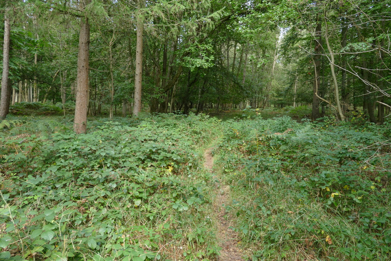
The path continuing north through Homefield Wood
The path continuing north through Homefield Wood
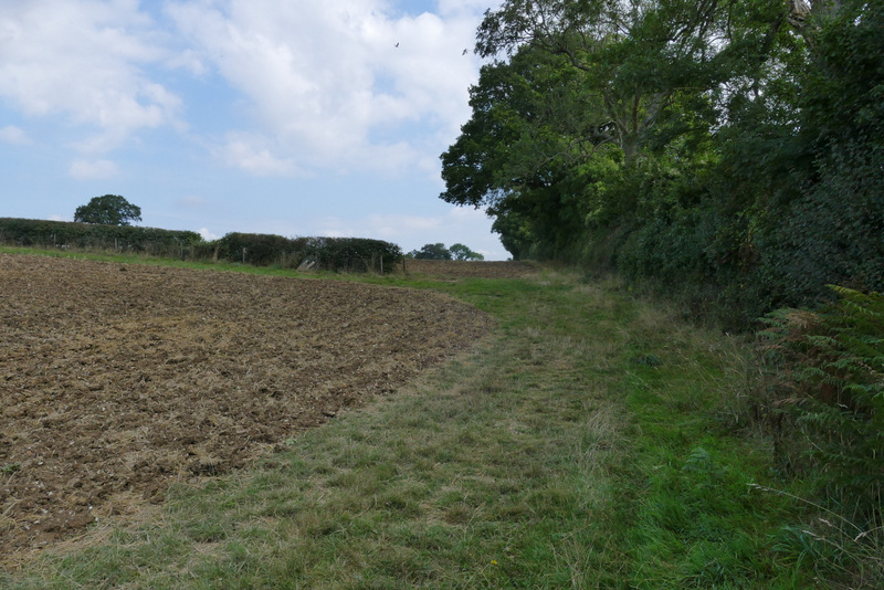
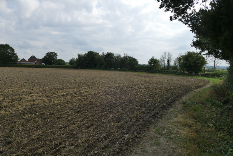
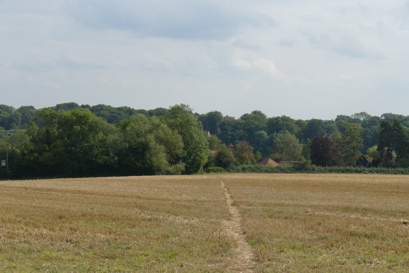
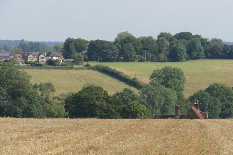
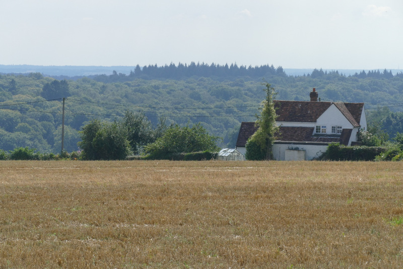
The path then continued beside a tall hedge on the right, past one ploughed field and into another. When the hedge turned right, the path went half-right across a corner of the field (I actually just followed the hedge), then went past a garden (of a house named Arbor on the OS map) on the left to reach a lane. Across this, a path crossed a stubble field, bearing slightly right. There were some nice views here - to my right, I could see a long way across the Thames Valley towards Berkshire, while ahead and slightly left I could see part of my route that I would soon reach, approaching Frieth Road.
The path continuing northeast from Homefield Wood
The path continuing northeast from Homefield Wood, approaching the house name Arbor on the OS map
The path across the stubble field
Looking ahead and to the left - a bit later I would go uphill beside the hedgerow in the centre, to reach Frieth Road
Looking right - a zoomed-in shot over the Thames Valley towards Berkshire
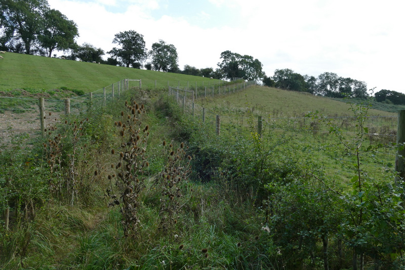
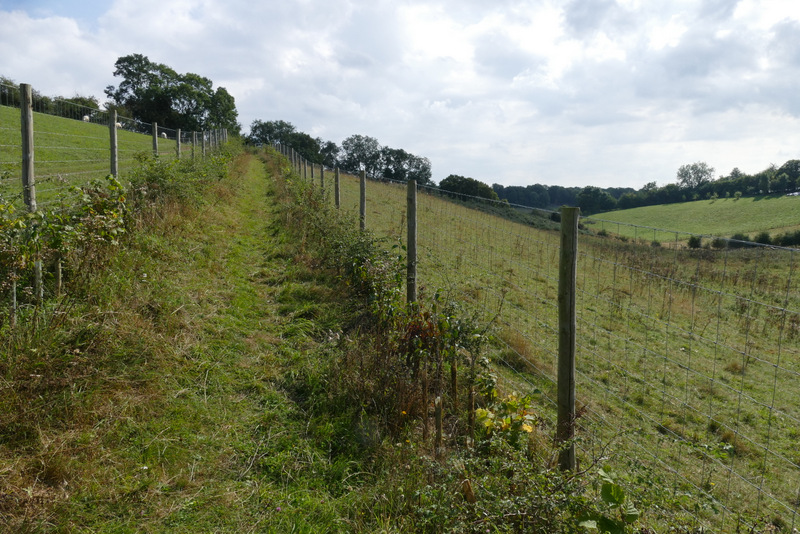
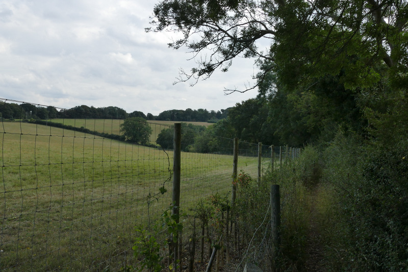
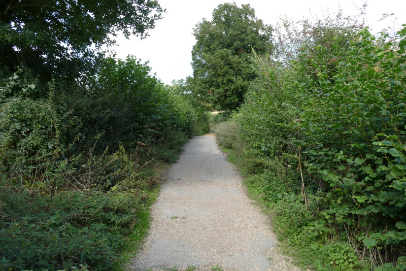
On the far side of the stubble field I reached another lane, where I turned left and followed the lane gradually downhill. At the bottom of the slope I turned right onto a footpath which would take me to Frieth Road - this had changed since I was last here, as it was now enclosed by fences. It went a little way straight uphill then turned half-right to reach the top of the slope. Over the rickety remains of a stile, the path then ran for several hundred yards between a wire fence and a tall hedgerow on my right. Beyond a kissing-gate, the path then turned left to go uphill (less steeply than I remembered - most unusual!) through a large empty pasture (there have been cows or sheep here on other times I've walked this path), following the hedge on my left. At the top of the hill I reached Frieth Road (that's just the name of the road, it's in the parish of Great Marlow).
The lane section, after I turned left
The path to Frieth Road, from its start where I turned right from the lane
The path to Frieth Road
The path to Frieth Road
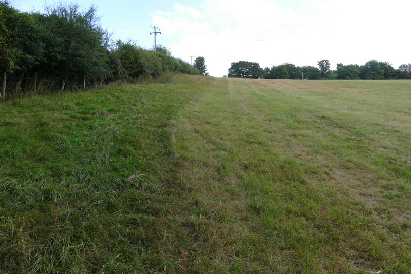
The path to Frieth Road (this is the bit I'd seen from the stubble field, following the hedgerow uphill)
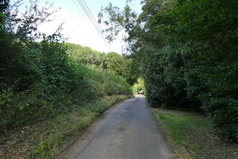
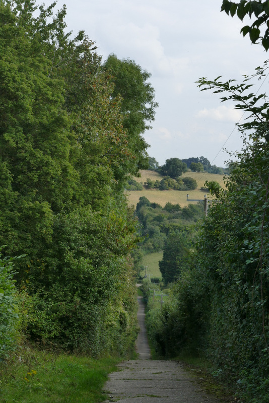
I turned left along Frieth Road. After about a quarter of a mile I turned right along a bridleway that followed the drive to Munday Dean Farm, which went steeply downhill (I'd forgotten quite how steep this was). At the bottom of the slope I went left, along Munday Dean Lane. At its end I continued ahead along a short byway between hedges. When this ended at a junction with a bridleway, I turned left for a few yards, only to turn right onto a footpath as soon as the bridleway entered Shillingridge Wood.
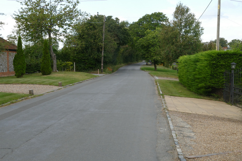
Frieth Road
The drive to Munday Dean Farm
The drive to Munday Dean Farm
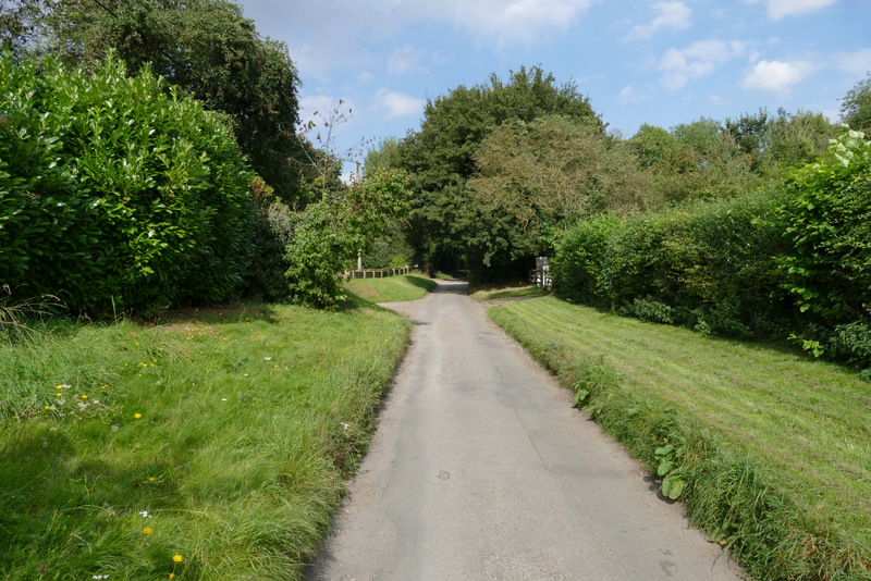
Munday Dean Lane
The byway continuing from the end of Munday Dean Lane