Pete's Walks- Southeast from Cadmore End (page 2 of 6)
If you are considering walking this route yourself, please see my disclaimer. You may also like to see these notes about the maps and GPX files.
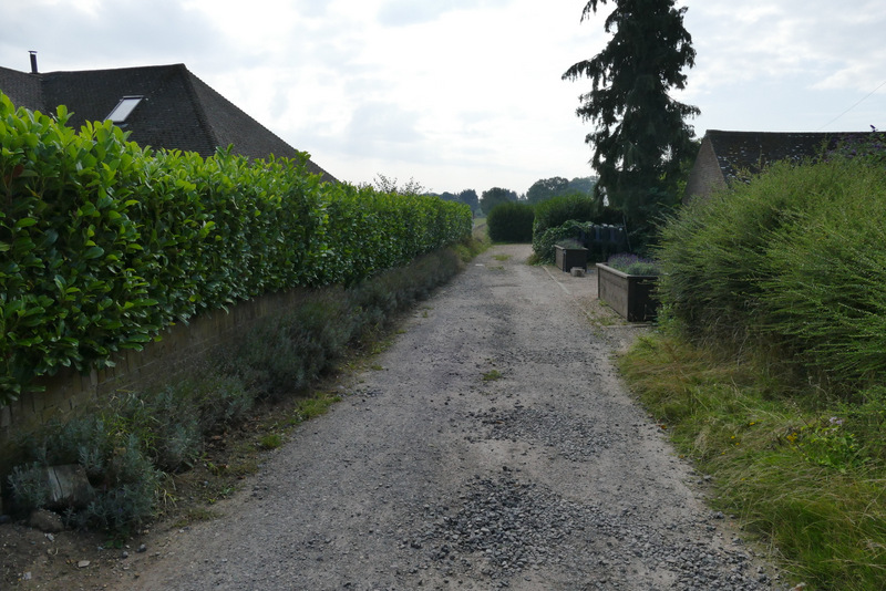
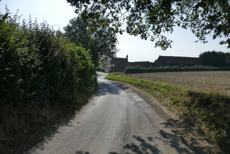
I turned left for a very short distance, then turned right into a short private road called Hayles Field. At its end, a path continued between the fences of some paddocks or enclosures. The path then went along the edge of a farmyard, and then a few yards further on started to run along to the left of a lane, heading for the hamlet of Parmoor. After two or three hundred yards the path ended, and I continued along the lane. I soon passed St Katherine's, Parmoor, on my right (I'd always assumed it was a convent, but it is now a "superb venue for retreats, seminars, celebrations and accommodation in a tranquil rural setting"). Further on the lane passed through the hamlet of Parmoor and then the next tiny hamlet, Pheasants.
Hayles Field, approaching the start of the path from Frieth to Parmoor
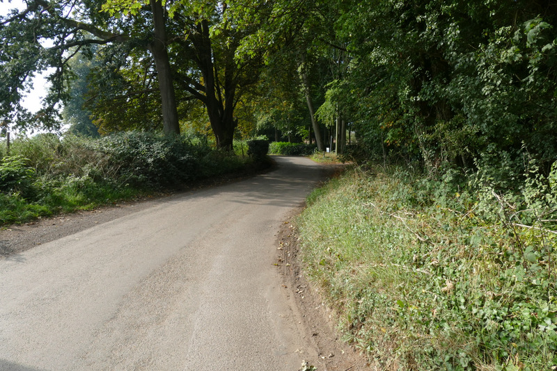
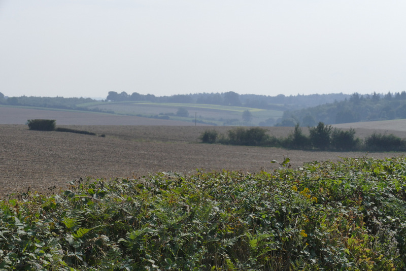
The path from Frieth to Parmoor
The path from Frieth to Parmoor, passing the farm buildings
The path from Frieth to Parmoor
The start of the lane walk
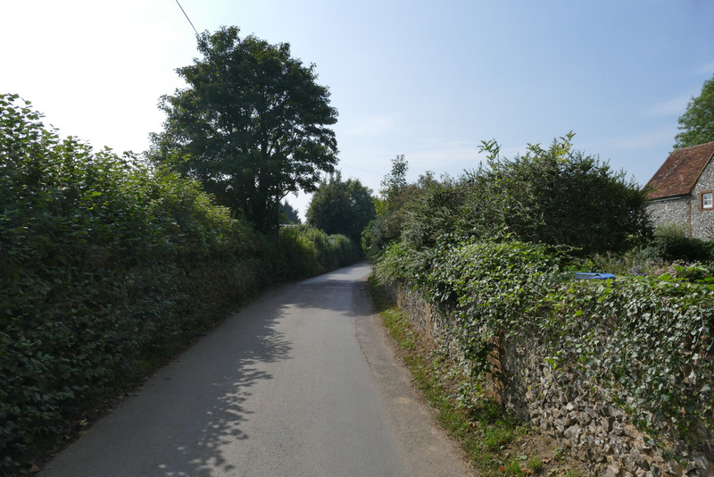
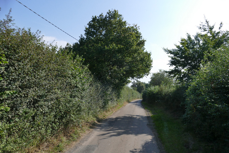
The lane passing through the hamlet of Parmoor
The lane passing through the hamlet of Pheasants
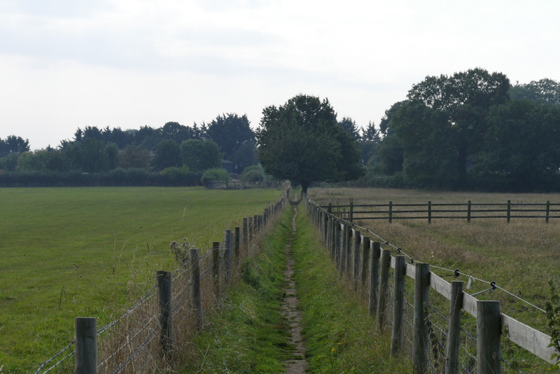
I went straight on when a lane went right at Pheasants. The hedges were now lower or non-existent, so the views were better here. I remembered that when I did this walk in thick fog in January 2013, a walker coming the other way joked "Nice views today!". After a while I reached a lane junction at Rockwell End, where I took the lane continuing ahead in the same direction.
The lane passing through the hamlet of Parmoor
The lane passing through the hamlet of Pheasants
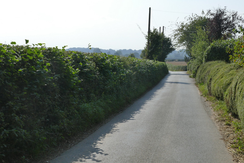
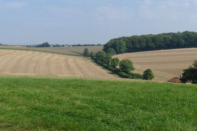
The lane continuing between Pheasants and Rockwell End
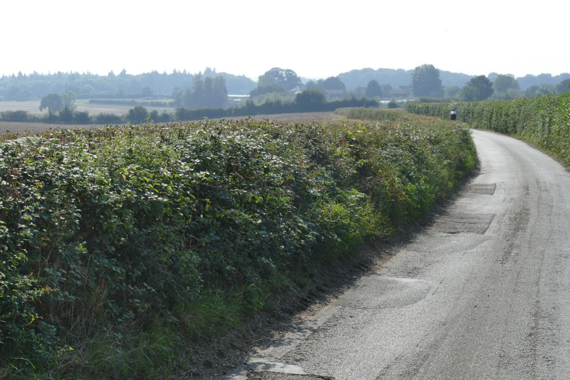
View left, from the lane between Pheasants and Rockwell End
Approaching Rockwell End
The lane continuing from Rockwell End
View left just before the lane ended at a T-junction
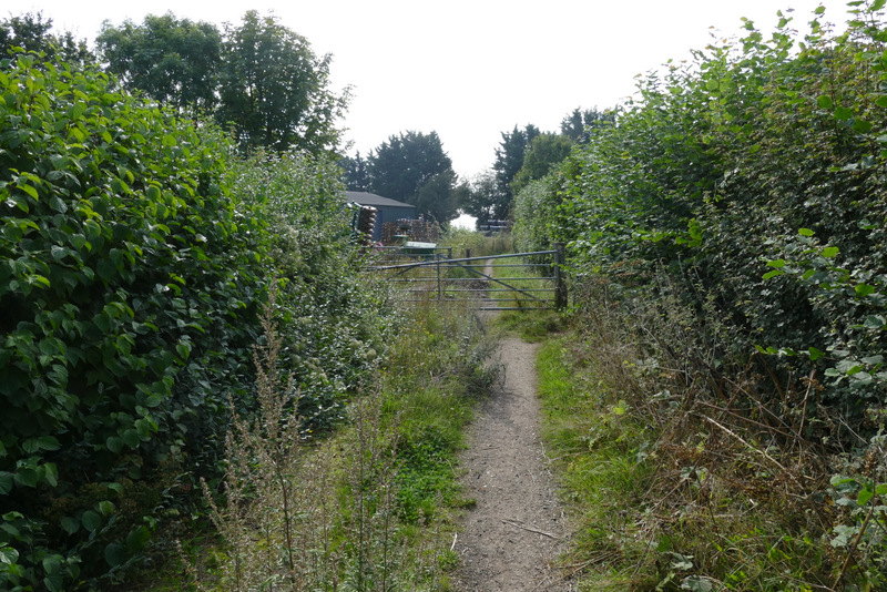
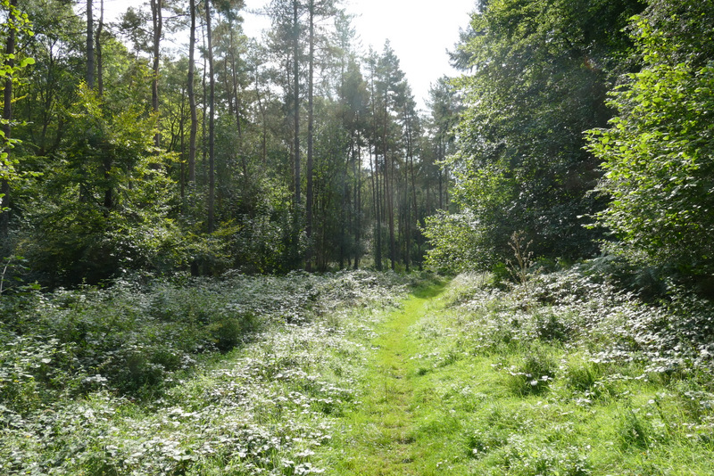
I was surprised how quickly I reached the end of the lane at a T-junction - this whole section of lane walking had gone by much quicker than I'd expected. I turned right for a few yards and then took a footpath on my left. This followed the edge of a garden on my left, then went half-left across a paddock. The path then entered Heath Wood, and I started a section of almost two miles through this and the adjoining Homefield Wood. The path went roughly southwards at first, going through the remains of two tall gates a few hundred yards apart. Shortly after crossing a drive or farm track, I turned left at a junction marked by waymarks (actually the path was a few yards past the waymarks). This path dropped steadily downhill through the wood, with a track or drive a little way to my left and a new plantation of trees beyond it.
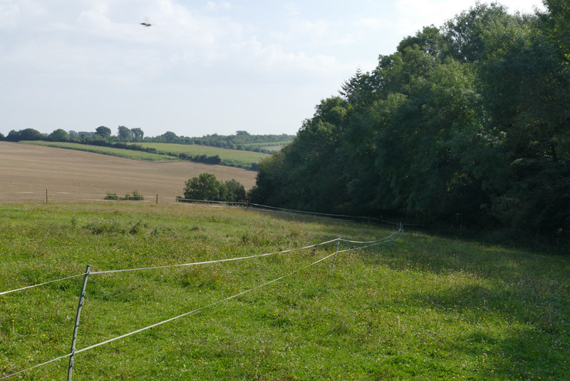
The paddock before Heath Wood
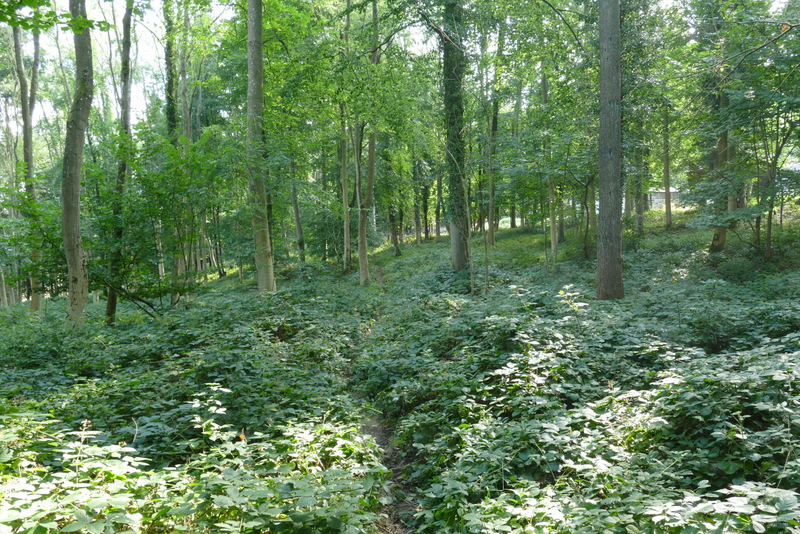
The path through Heath Wood
The path through Heath Wood
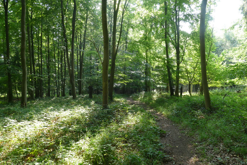
The path through Heath Wood, shortly before I crossed a track and then turned left
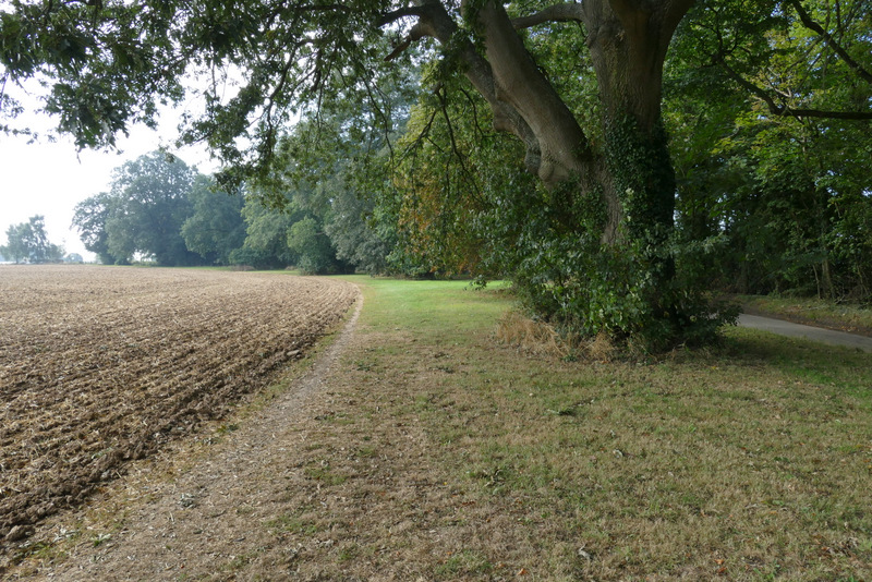
Near the bottom of the slope I turned right at a path junction, following a fence on my left. After some distance the path went through a bit of bracken and emerged at the end of a track, which I continued to follow along the valley bottom, with the wood sloping uphill on either side. The track gradually turned left as it followed the valley bottom. I passed a junction where the Chiltern Way, coming in the opposite direction, goes up the slope to my right, and further on a footpath crossed the track (yellow waymarks here).
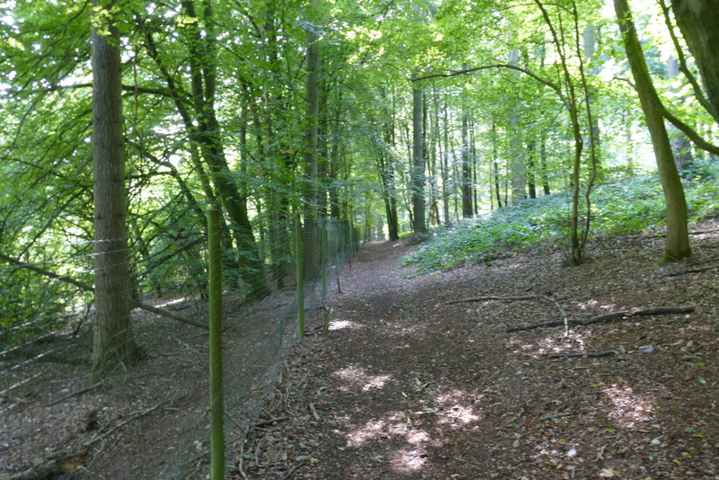
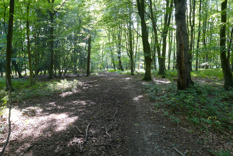
The path through Heath Wood after I turned right
The track along the valley bottom
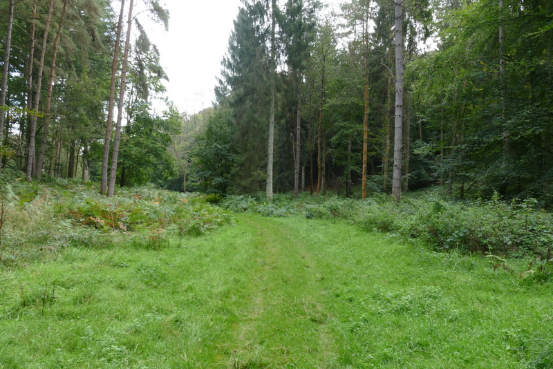
The track along the valley bottom
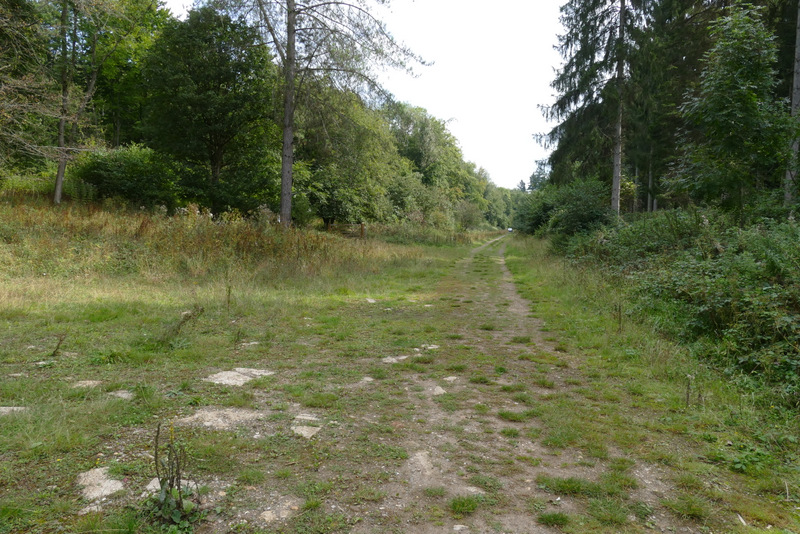
The track along the valley bottom, probably now in Homefield Wood