Pete's Walks- Southeast from Cadmore End (page 1 of 6)
If you are considering walking this route yourself, please see my disclaimer. You may also like to see these notes about the maps and GPX files.
I did this walk of about 13.8 miles on Saturday, 18th September, 2021. It was a repeat of a walk I did in January 2013 (that turned out to be a very foggy day) and repeated (on a nicer day) in August 2016. I first walked the route in the opposite direction, back in November 2011.
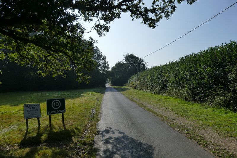
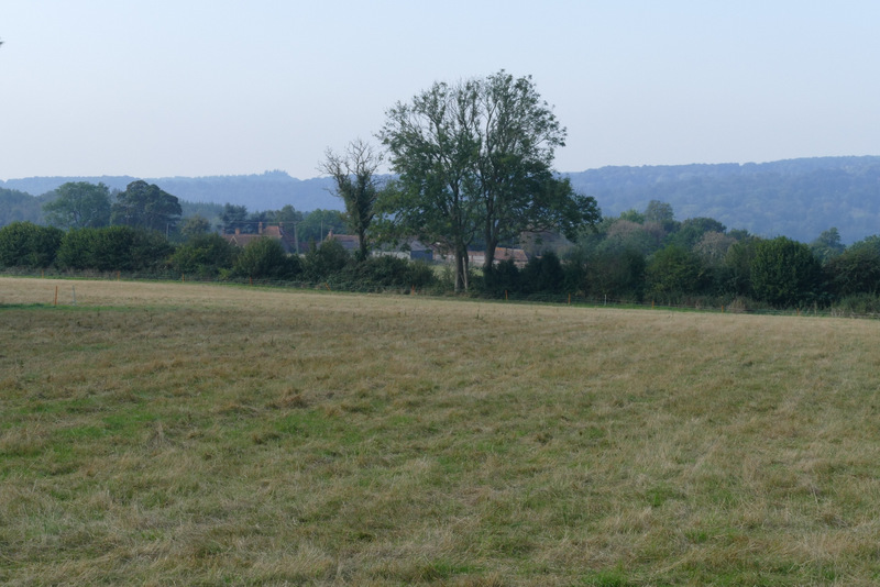
I started walking about 10:25am, having parked beside Church Road in Cadmore End (Grid Reference SU 783927 - there is also a car park marked on the map, just past the school on the main road). I walked along Church Road, heading away from the main road through the village, and soon passed the church on my left. I stayed with the roughly surfaced road as it curved left here, and followed it through the village until it brought me back to the main road. Here I turned right. Previously I'd always then followed the road as far as the entrance to Rackley's Farm (on the right), but today I soon noticed a path starting just across a drive on the left, separated from the road by a line of bracken and bushes. I followed the path and it ended directly opposite the entrance to Rackley's Farm. I started down the drive, and found that the footpath seemed to fork right from it a few yards sooner than I remembered, and also that it was now enclosed between fences. Beyond some bushes the path continued between the wire fence of a pasture on my left and a hedgerow. The path used to enter the corner of a large pasture that slopes downhill, but now the wire fence continues a little further to where the footpath enters a wood. The path continued downhill just inside the wood, then went over another stile and crossed a corner of the same large pasture, now almost at the bottom of the slope. The path then continued very slightly downhill as it crossed a very large field that had recently been ploughed and harrowed, to reach a prominent tree at the corner of a distant hedgerow.
The start of the walk
The lane through Cadmore End, just past Cadmore End church
The road through Cadmore End (you can see the start of the path parallel to the road)
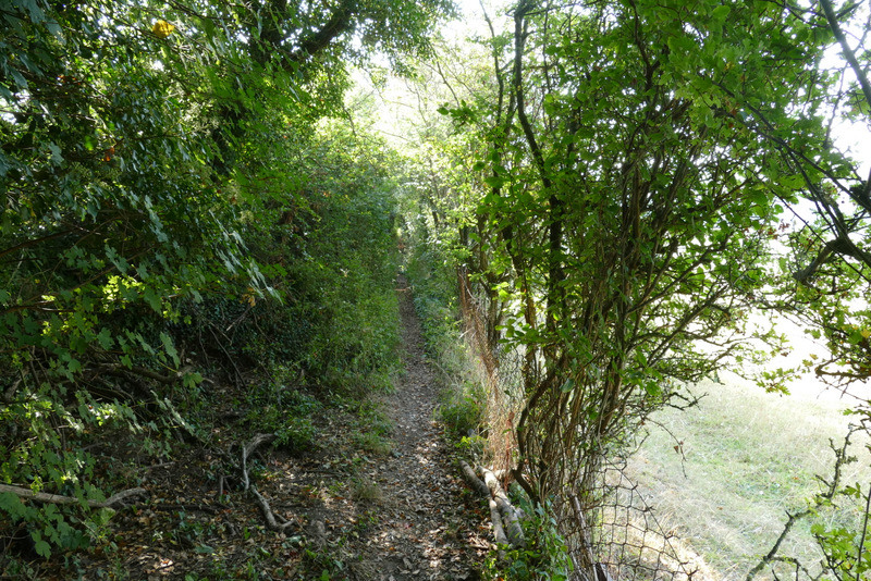
The start of the footpath from Rackley's Farm
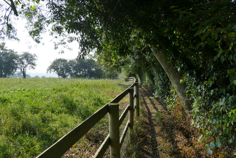
The footpath from Rackley's Farm
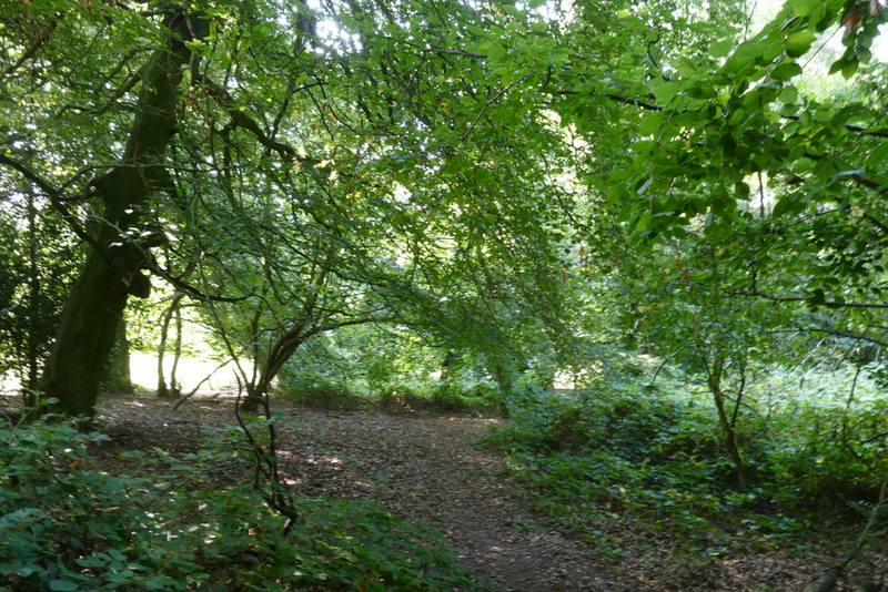
The footpath from Rackley's Farm as continues downhill just inside a wood
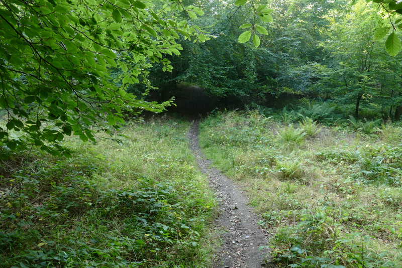
The footpath from Rackley's Farm after re-emerging into a pasture, near the bottom of the slope
The footpath from Rackley's Farm - I turned left where the path meets the lone tree in the hedge
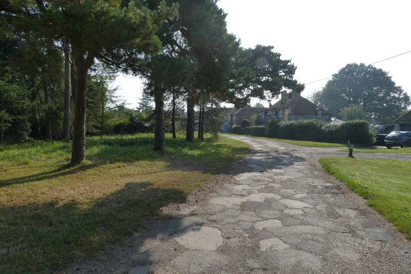
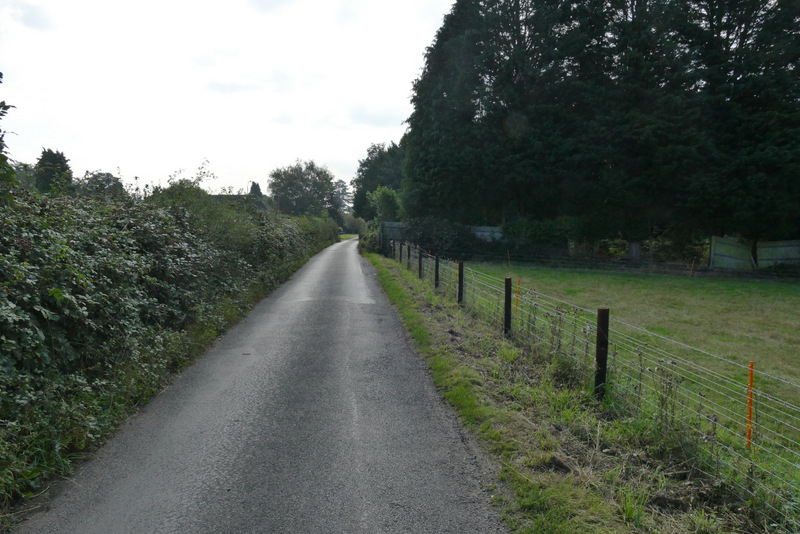
When I reached the tree I turned left, and left the field in the corner a few yards away. I then followed a permissive path that ran to the right of a lane. I went straight on (ignoring a couple of paths that went a few yards left through grass and bushes to the lane) until I came level with a lane junction, where I turned left. There was a wide verge on the right of this lane where I could walk. Almost as soon as Moussells Wood started on my right, I took a footpath that entered the wood and soon started climbing uphill. After a hundred yards or so I kept left at an apparent fork near the bottom of the slope. It wasn't too steep, and I soon reached a path crossroads near the top of the slope. I went straight on here, soon leaving the wood and following the now level path between fences and hedges to reach a lane in Little Frieth. I turned right here, but the lane immediately turned left so I was almost going straight on. I followed the lane all the way to where it ended in Frieth.
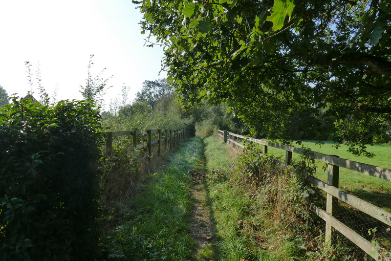
The permissive path beside the lane
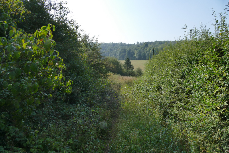
The permissive path beside the lane
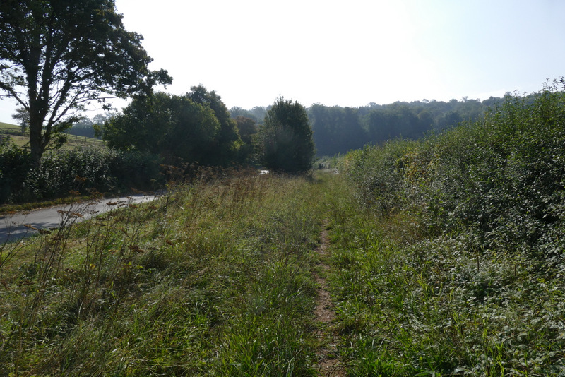
The short lane section after I turned left at a junction
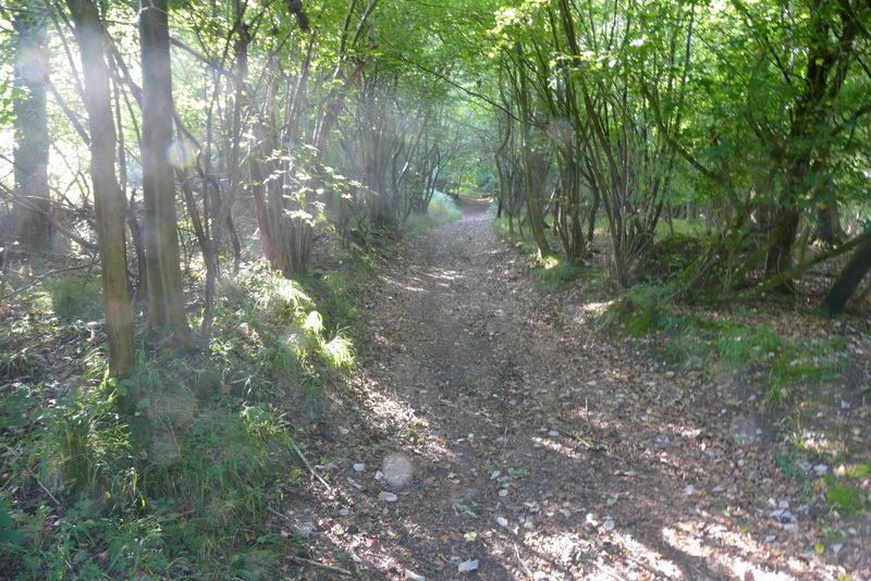
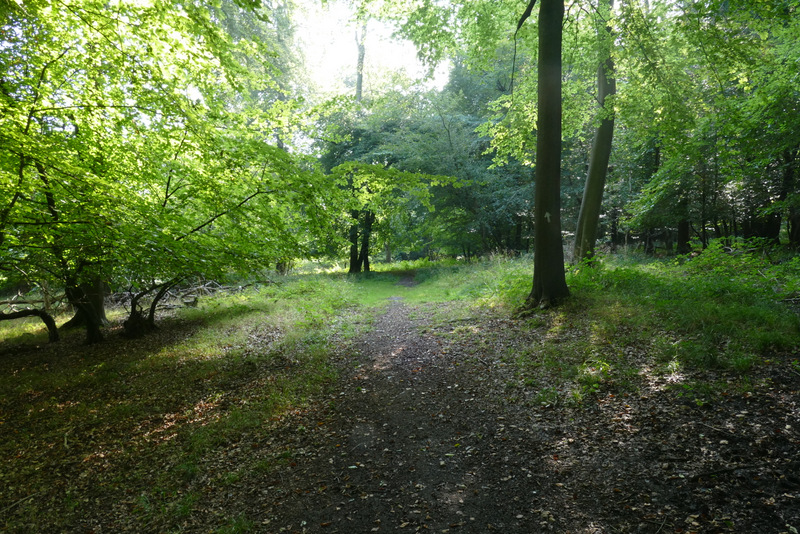
The start of the path uphill through Moussells Wood
The path uphill through Moussells Wood
The path uphill through Moussells Wood
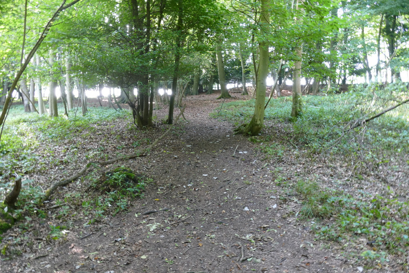
The path uphill through Moussells Wood, from where it crosses another path near the top of the hill
The path continuing from Moussells Wood into Little Frieth
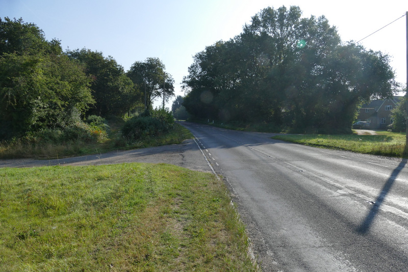
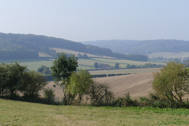
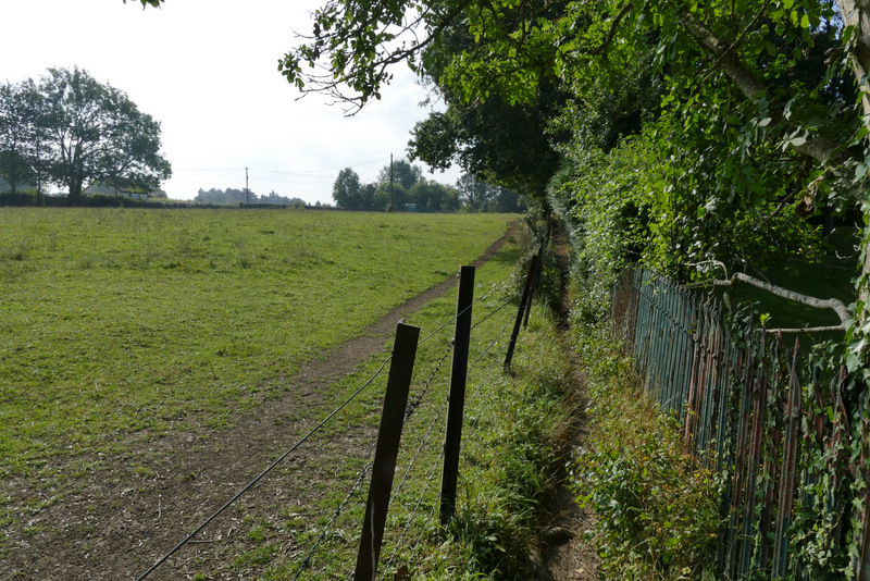
View right from the lane from Little Frieth to Frieth
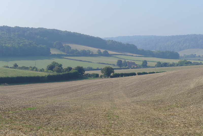
The lane from Little Frieth to Frieth