Pete's Walks - Maidensgrove Common and Rotherfield Peppard (page 4 of 6)
If you are considering walking this route yourself, please see my disclaimer. You may also like to see these notes about the maps and GPX files.
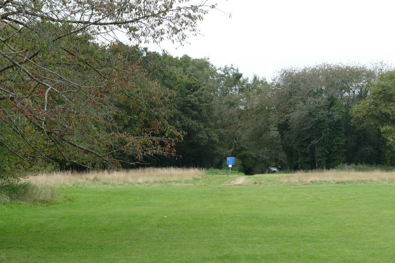
Immediately before the last residence on the right, I took a footpath on the right. After passing the gardens of the house it was again a bit of a 'green tunnel' with overhanging hedges blocking any views. After going through a gate the path continued between a hedge and a fence on my right, beyond which was a paddock. The path then dropped quite steeply downhill, between a hedge and the edge of a wood on my right. In the valley bottom I came to a path junction, where I turned right and followed a path through the wood, along the valley bottom, for about a quarter of a mile.
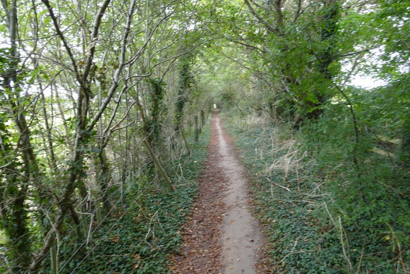
The path going west from near King's Farm
The path going west from near King's Farm
The path going west from near King's Farm, descending to a valley bottom
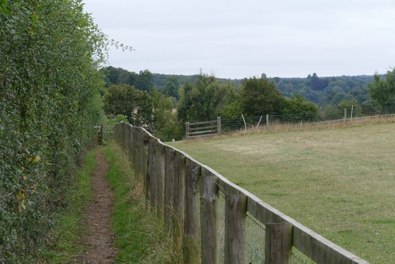
After emerging from the far side of the wood I went through a metal kissing-gate and continued along the left edge of a ploughed field (the OS map shows the bridleway going through the middle of the meadow over the hedge on my left). I went straight on where a farm track went left, and after a few hundred yards the path went through a gap and then followed the right edge of another large ploughed field. In the far corner the path went a few yards right to reach the end of a lane, where I turned left to head into Rotherfield Peppard. I soon passed the village church on my right, and after another quarter of a mile or so I reached a large green. I walked onto the green and turned left, close to some trees on the edge of the green, and made my way to a bench by the road through the village. It was now about 12.50pm, and I sat on the (rather uncomfortable) bench to eat my packed lunch.
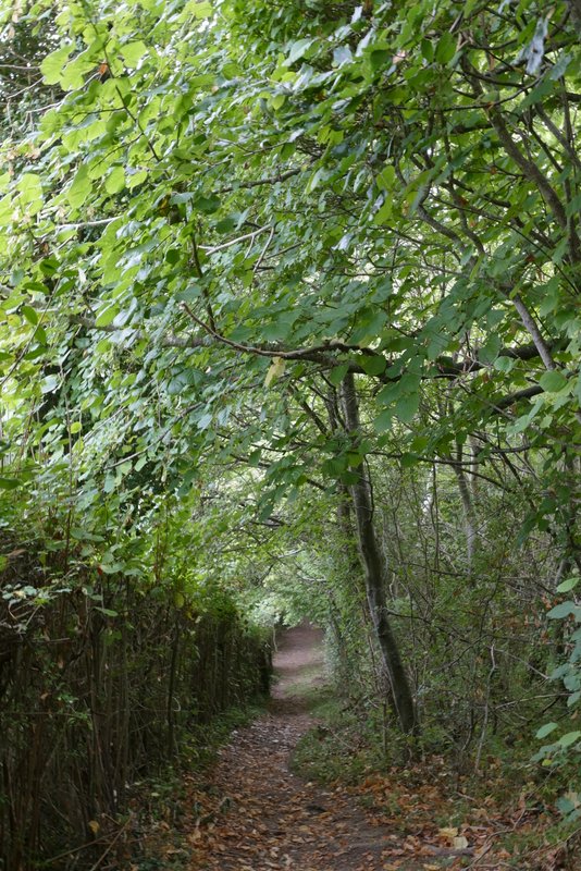
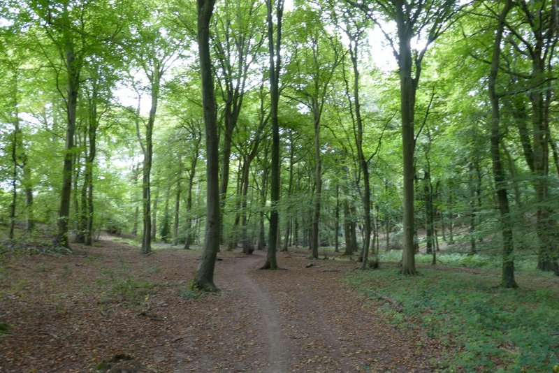
The path through the wood after I turned right in the valley bottom
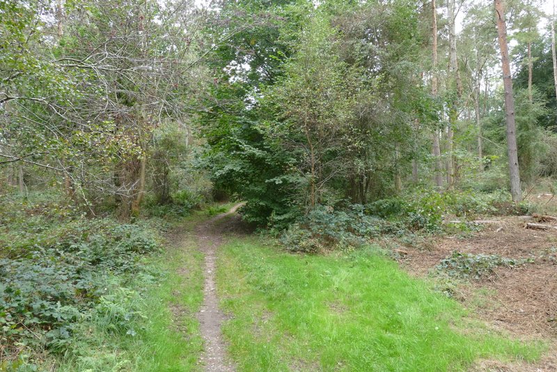
The path through the wood after I turned right in the valley bottom
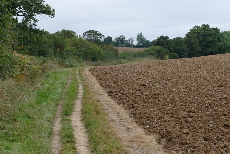
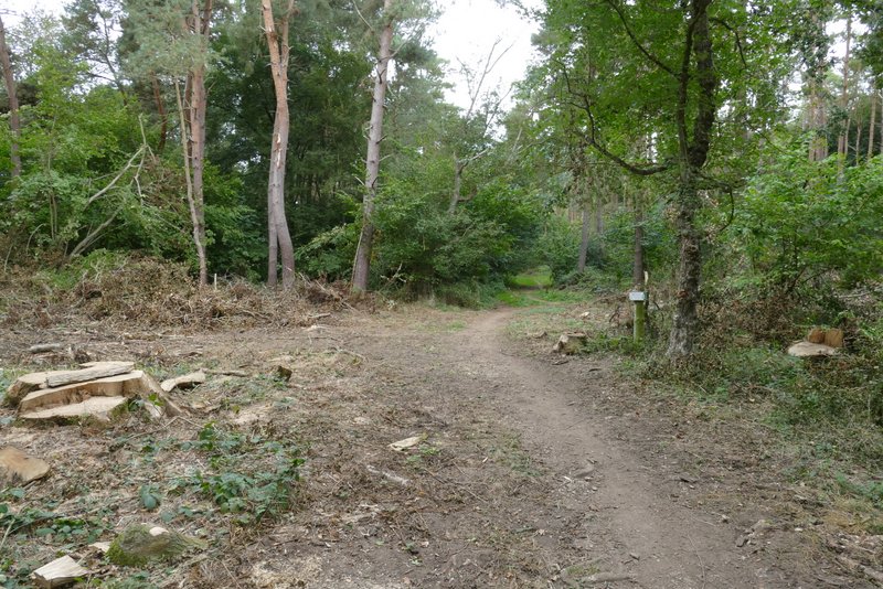
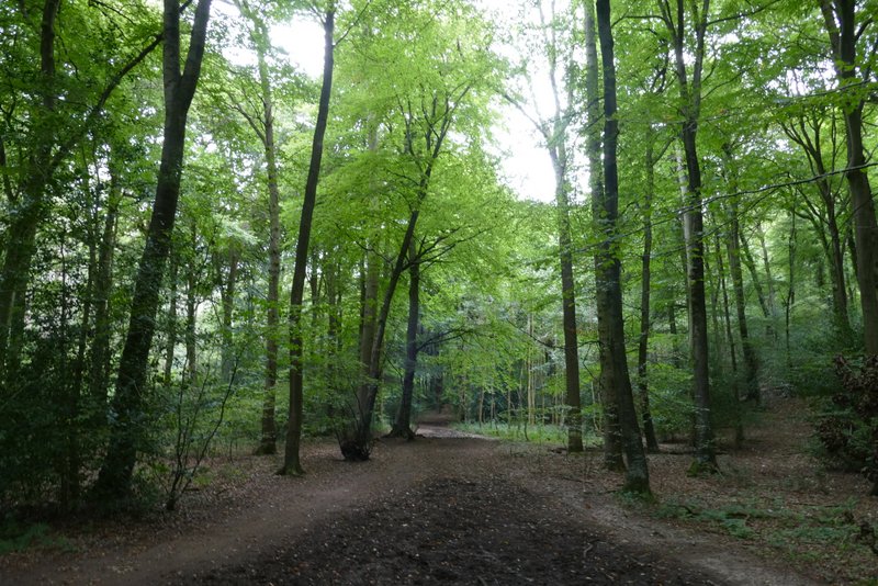
The path continuing towards Rotherfield Peppard
The path continuing towards Rotherfield Peppard
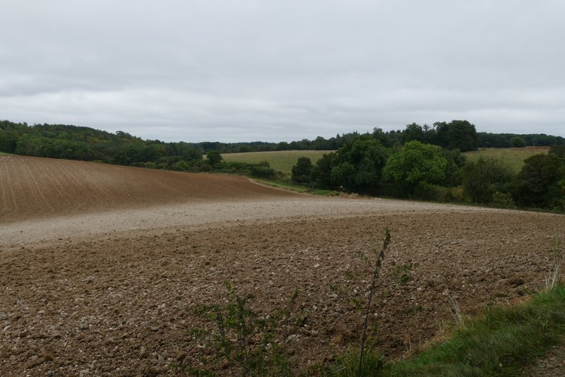
View looking back
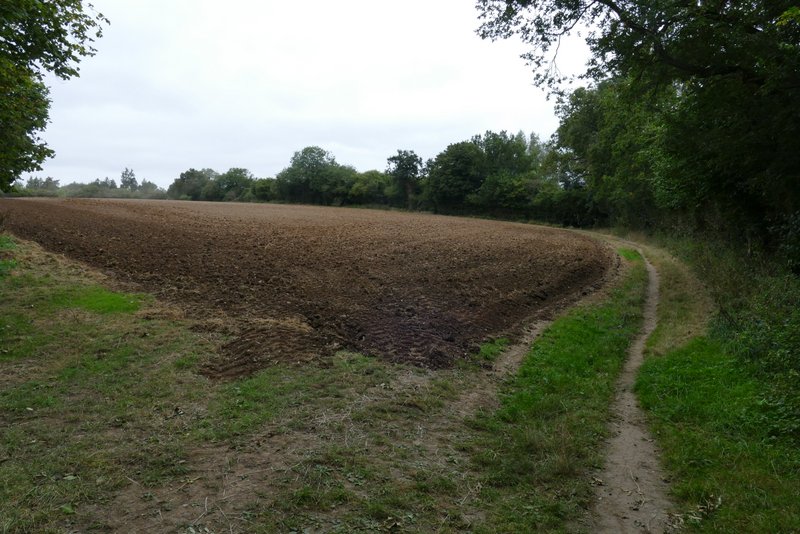
The path continuing towards Rotherfield Peppard
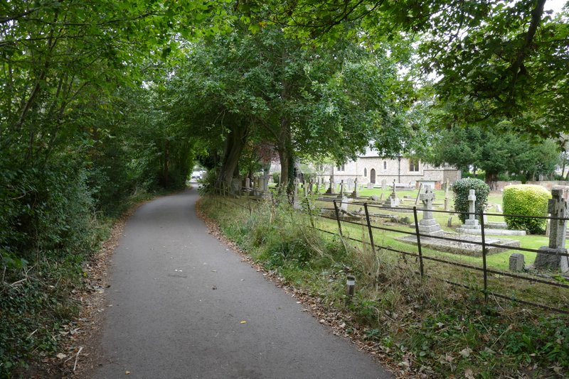
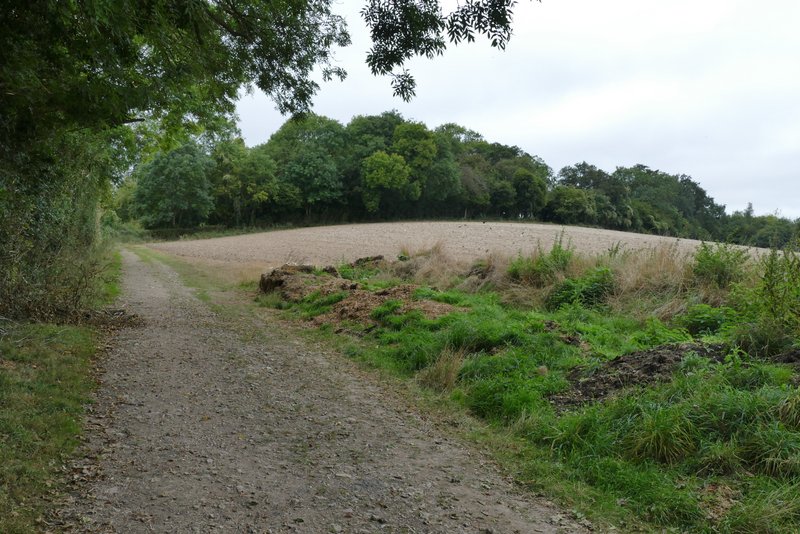
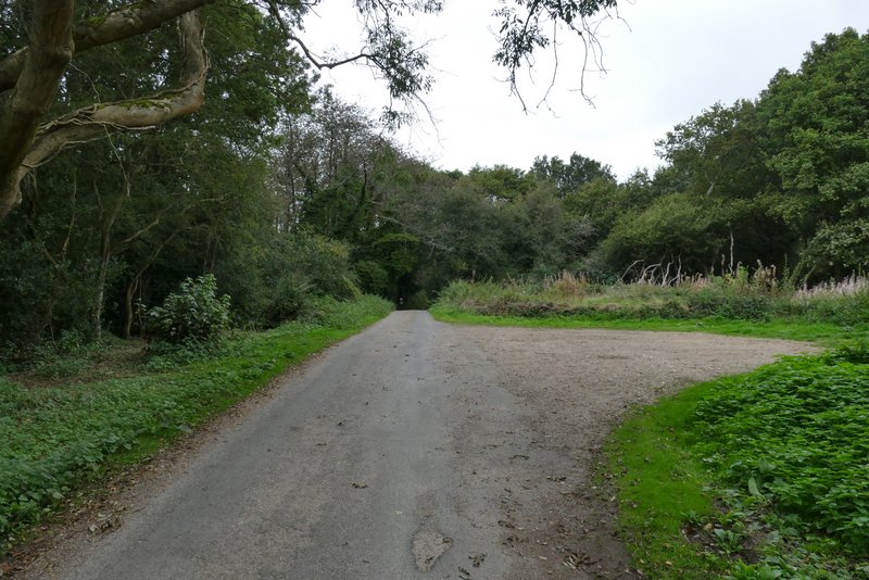
The lane into Rotherfield Peppard
I then crossed the road and continued down a lane. I went straight on at a junction, then when the lane turned left at the bottom of a slope, I went straight on along a bridleway through Littlebottom Wood. The bridleway continued from that wood between a fence and a hedge to reach Greatbottom Wood, where it continued northwards. Soon there were two parallel paths - I kept to the left one, it didn't really matter as they came together again after a while. Then there was a narrow fork where I needed to keep left as the right fork was gradually going uphill.
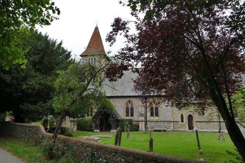
Rotherfield Peppard church
The lane into Rotherfield Peppard
The common at Rotherfield Peppard (I stayed close to the left edge
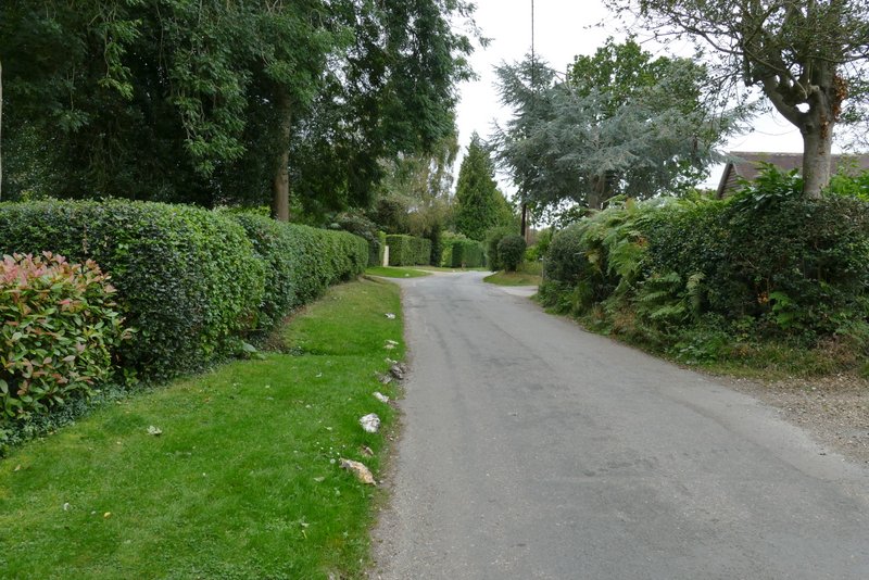
The lane from Rotherfield Peppard
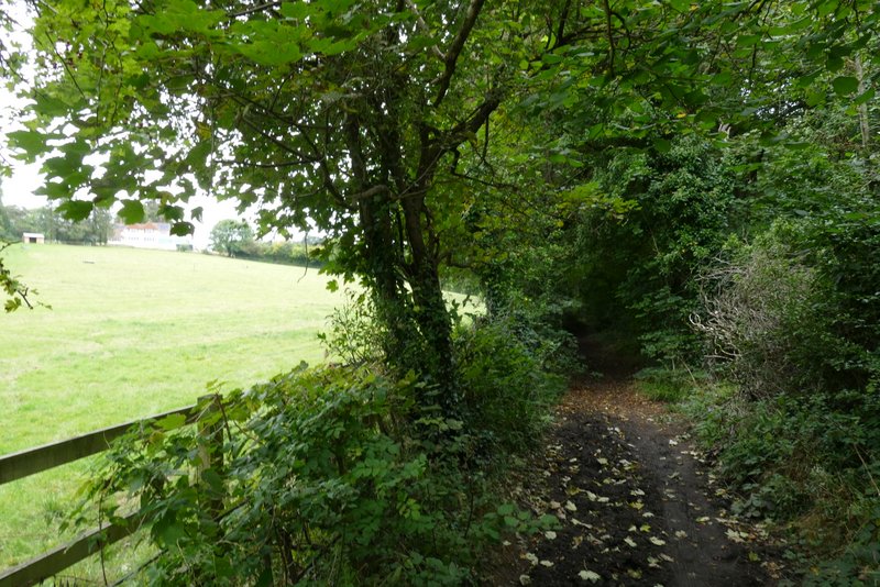
The bridleway heading to Littlebottom Wood
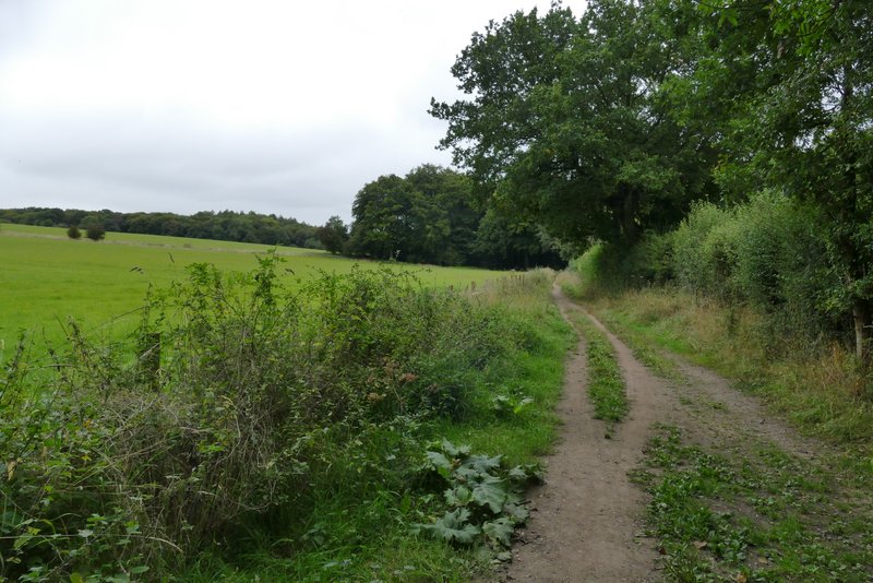
The bridleway continuing from Littlebottom Wood to Greatbottom Wood
The bridleway through Greatbottom Wood
The bridleway through Greatbottom Wood