Pete's Walks- Redland End and Coombe Hill (page 1 of 5)
If you are considering walking this route yourself, please see my disclaimer. You may also like to see these notes about the maps and GPX files.
Google map of the walkDownload GPX file of the walk
I did this circular walk of about 10.8 miles on Sunday, October 17th, 2021. It was a repeat of the Coombe Hill and Redland End walk I did in January 2016.
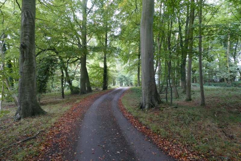
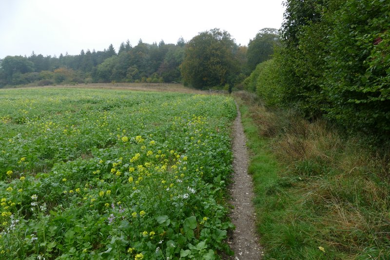
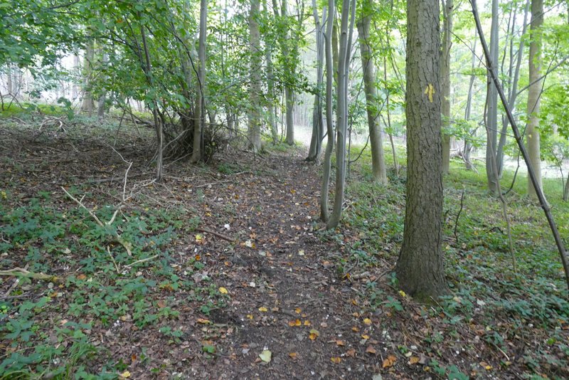
I started walking about 10.05am, having parked on the southern edge of the hamlet of Redland End, where a footpath crosses a short lane (Grid Reference SP 834022). It was slightly misty as I followed the lane north past the few houses (on my left) that make up the hamlet to reach a T-junction where the lane met a minor road. A path continued from the opposite side, continuing northwards through a large wood, Barnes Grove - the path initially followed the course of the ancient earthwork called Grim's Ditch. I went straight on at a path junction where the Chiltern Way forked right, the path then soon emerging from the wood and running beside a huge field on the right and Kingsfield Wood on my left - a Muntjac suddenly ran across the path just in front of me here. In the field corner the path re-entered the woods, now Knighton's Hill Wood. After a while the path turned left, dropping downhill through the trees. Further on I reached a stile by a gate on my right - here I turned right along the drive from Solinger House (for the next few miles, as far as Bacombe Hill, I'd be walking a section that I'd walked in the opposite direction about a month ago).
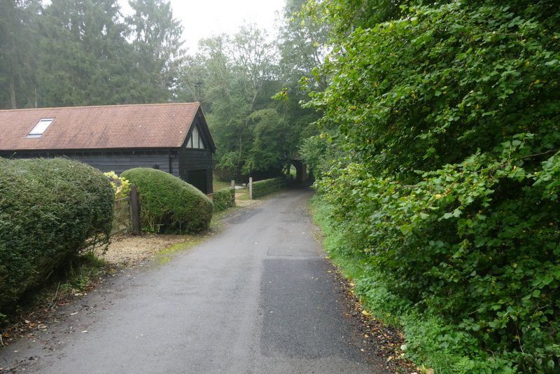
The start of the walk, at Redland End
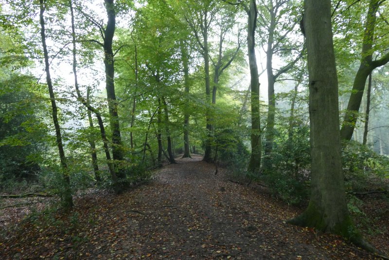
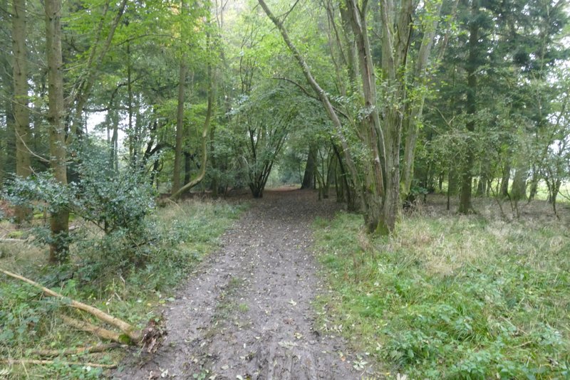
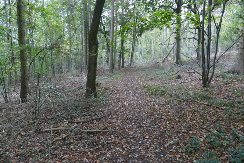
The path going north from Redland End, here on part of the course of the ancient Grim's Ditch
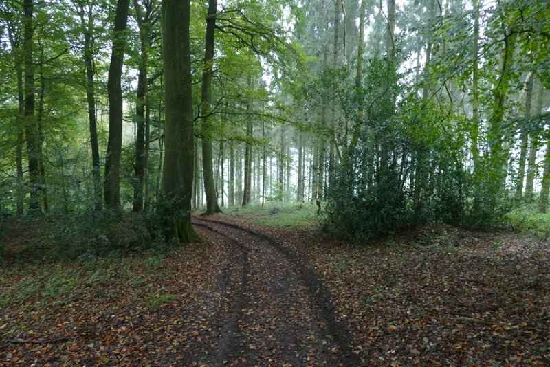
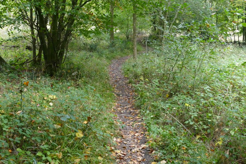
Further along the same path (after theChiltern Way forked right)
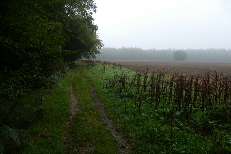
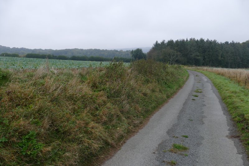
The path continuing beside Kingsfield Wood (Hampden House is near the far end of the very large field on the right)
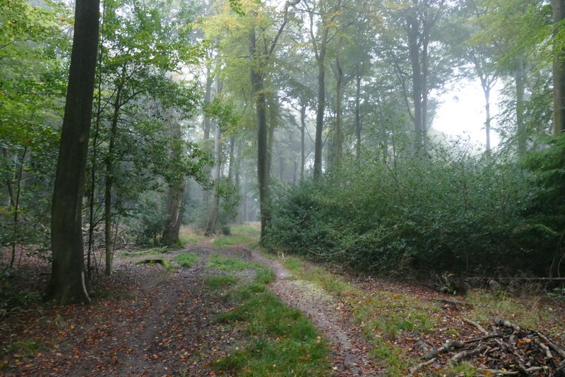
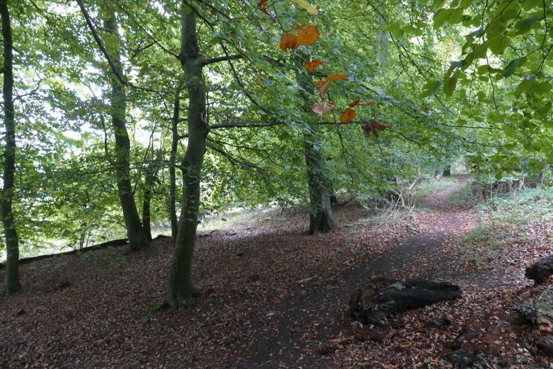
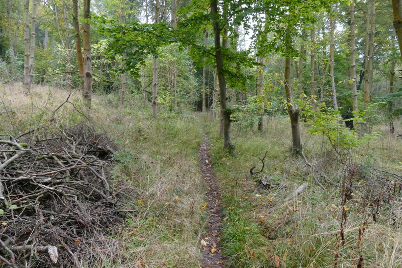
The path continuing through Knighton's Hill Wood
, just before it starts to descend
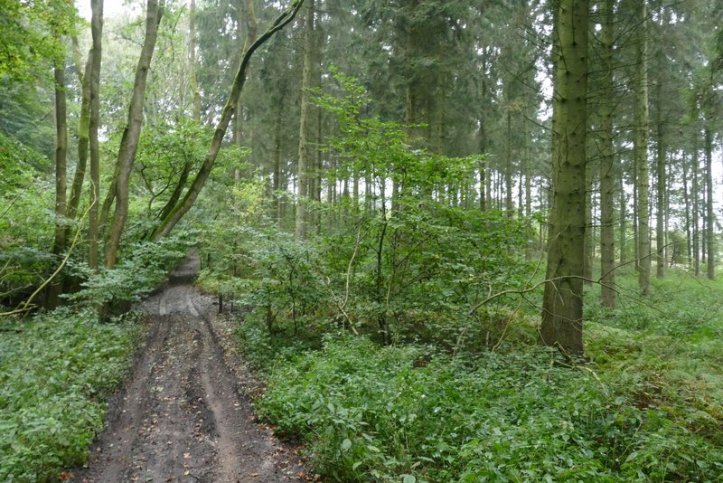
The path continuing through Knighton's Hill Wood
I followed the drive for about half a mile, until it ended on the road that runs through the valley of Hampden Bottom. I crossed over and walked down the drive to Dirtywood Farm (that's the name on the OS map, the sign at the start of the drive says something else). The footpath turns left and follows a hedge round the buildings at the end of the drive, before continuing along a hedgerow to reach Widnell Wood. I ignored a faint path that was immediately on my right, but after going a short way along a track, I took a path that went half-right, heading uphill at an angle through the trees (an arrow on a tree pointed the way). Towards the top of the slope I came to a path junction, where I turned very sharply left - unusually, this uphill seemed shorter and less steep than I remembered (which is also a bit worrying as I was here only a month ago!).
The drive from Solinger House
The drive from Solinger House

The drive to Dirtywood Farm (the path turns left and follows the hedge round the buildings)
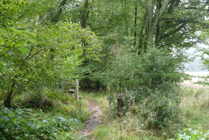
The path continuing to Widnell Wood
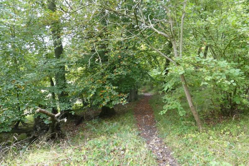
The path going east through Widnell Wood
The path going north through Widnell Wood, just after I turned sharply left
The path continued through the wood, almost imperceptibly descending and drawing closer to the edge of the wood on my left. After almost half a mile I came to a path T-junction where I turned right. After a short distance the path turned left, then immediately turned right (the path going straight on here is not on the map and presumably not a right of way). I was now going uphill through Hengrove Wood, and I soon went right (or half-right) at another path junction. The path continued uphill through the wood, until it ended close to the end of an old lane (I'd walk the far end of it at Buckmoorend later on).
The path going north through Widnell Wood
The path going north through Widnell Wood
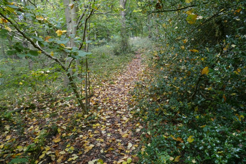
The path in Hengrove Wood, where it starts to go uphill
The path in Hengrove Wood, after I went half-right at a junction to continue uphill
The same path in Hengrove Wood
The path in Hengrove Wood, just before reaching the end of the old lane