Pete's Walks - Maidensgrove and Paradise Wood (page 3 of 3)
If you are considering walking this route yourself, please see my disclaimer. You may also like to see these notes about the maps and GPX files.
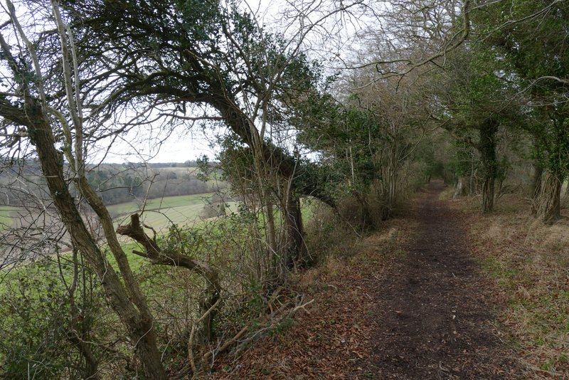
I then turned left along a public byway (named Warmscombe Lane on the OS map). Almost immediately I came to a junction where a footpath went half-left along a farm track (the way I normally go), but I went straight on, the byway now running between hedgerows either side and gradually rising uphill. At one point, looking to my right I glimpsed a line of Fallow Deer in a field below me.
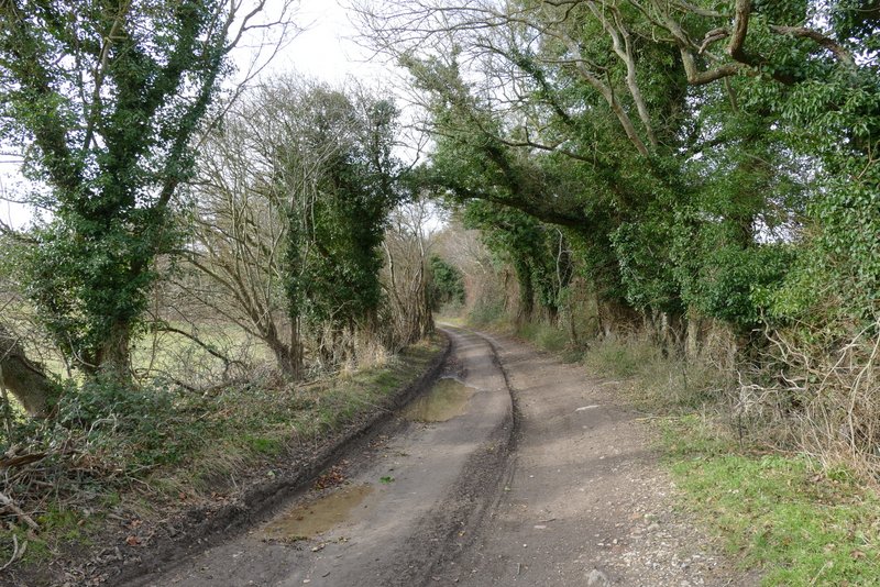
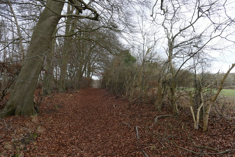
The start of Warmscombe Lane
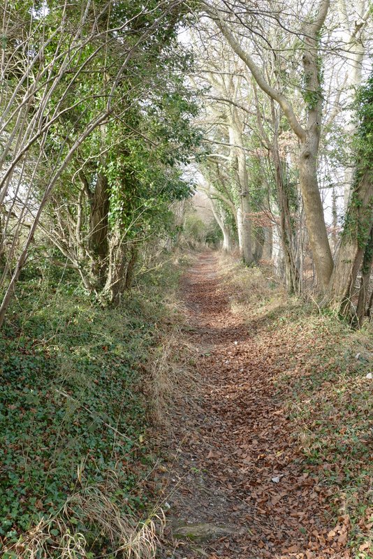
Warmscombe Lane
Warmscombe Lane
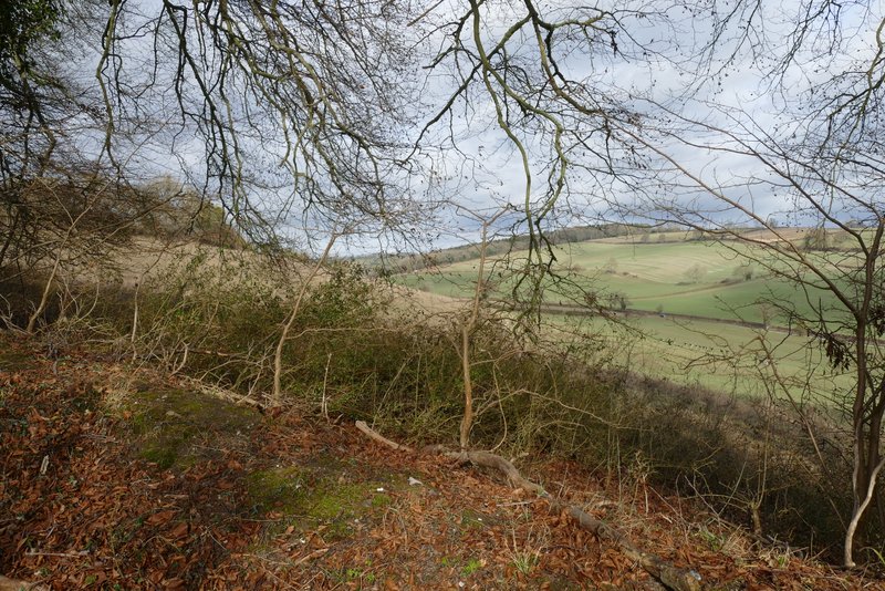
View right from Warmscombe Lane (I didn't notice them until just after I took this photo, but there is a line of Fallow Deer in the valley bottom, on the right)
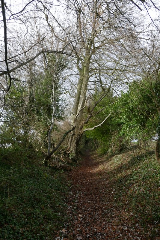
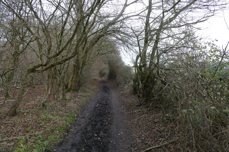
Warmscombe Lane
Warmscombe Lane
Warmscombe Lane
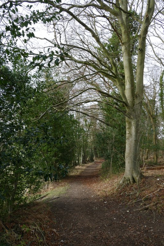
After a while the byway levelled out, and after a few hundred yards I could see the ruins of the church of St James in the valley of Bix Bottom on my left. The byway then ran past Freedom Wood on my left, and then merged with a bridleway coming in sharply from the left (from near the old church, this is the way I normally come). I went straight on here, fairly soon reaching a lane in Maidensgrove (it ended just to my right). I turned left along the lane, then went it bent right I followed a track on the left to reach Maidensgrove Common and made my way back to where I'd parked my car.
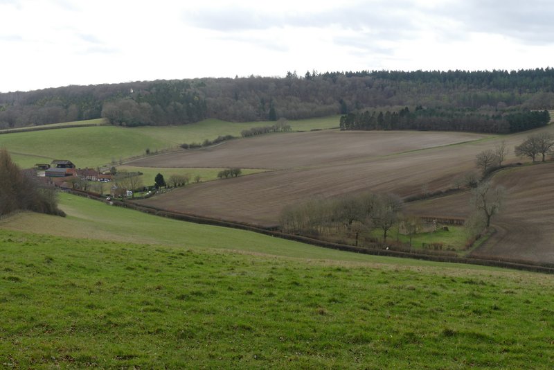
View left from Warmscombe Lane, over the valley named Bix Bottom - Valley End Farm is on the left, and the ruins of the Church of St James on the right
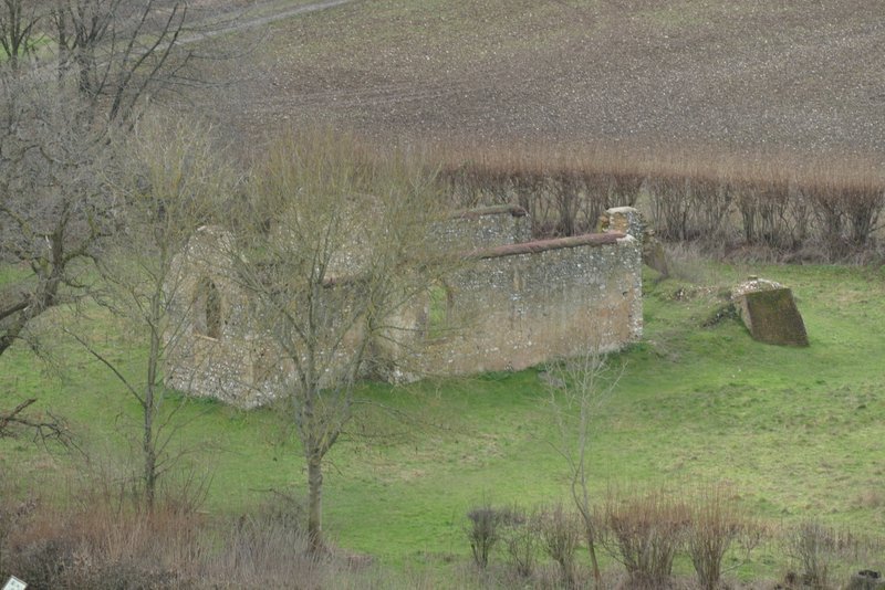
The ruins of the Church of St James, Bix Bottom
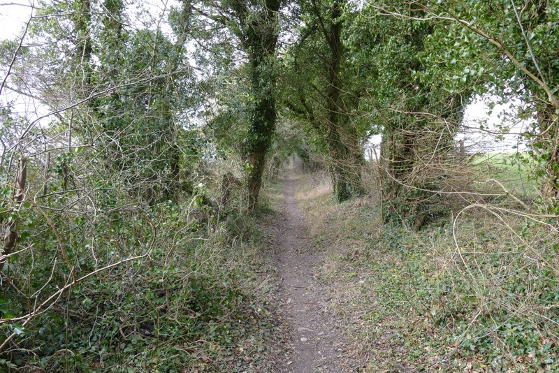
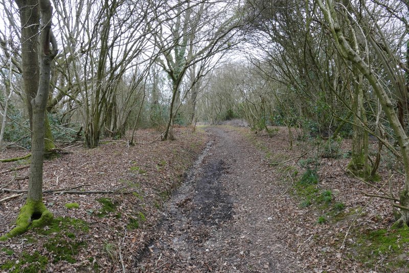
Warmscombe Lane
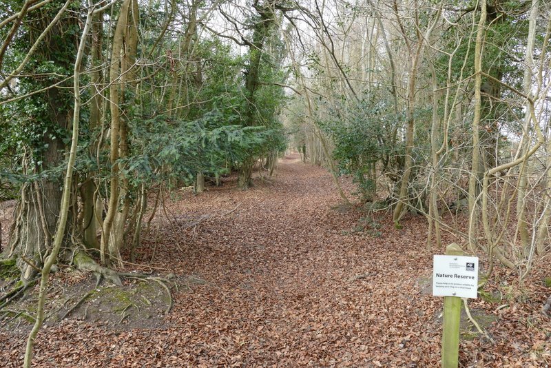
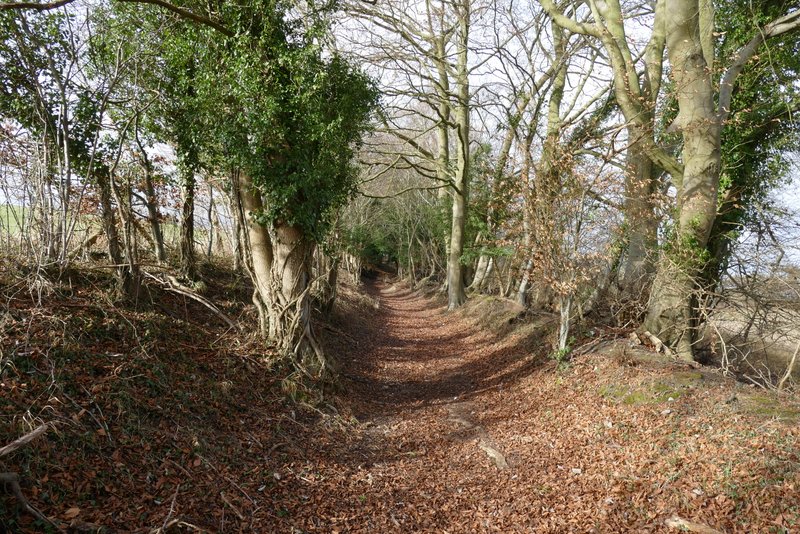
Warmscombe Lane. as it enters Warburg nature reserve
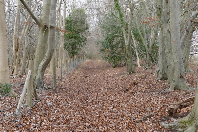
Warmscombe Lane
Warmscombe Lane
The bridleway to Maidensgrove
The bridleway to Maidensgrove
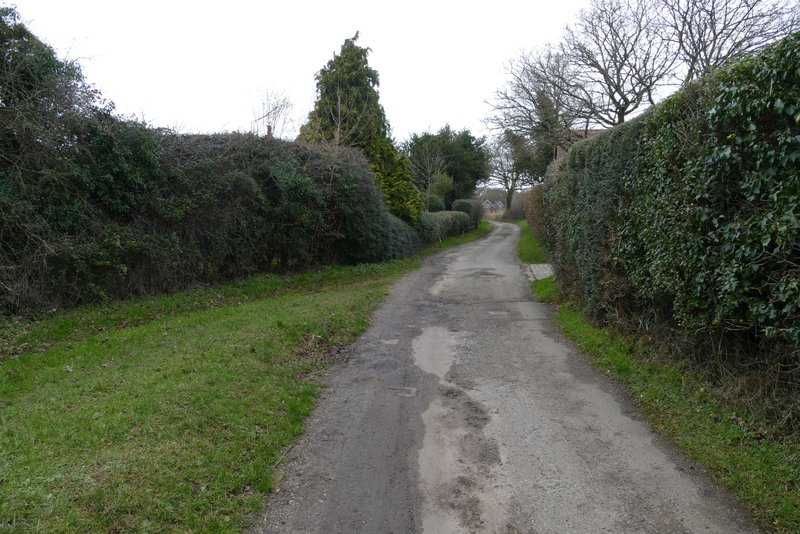
The lane at Maidensgrove
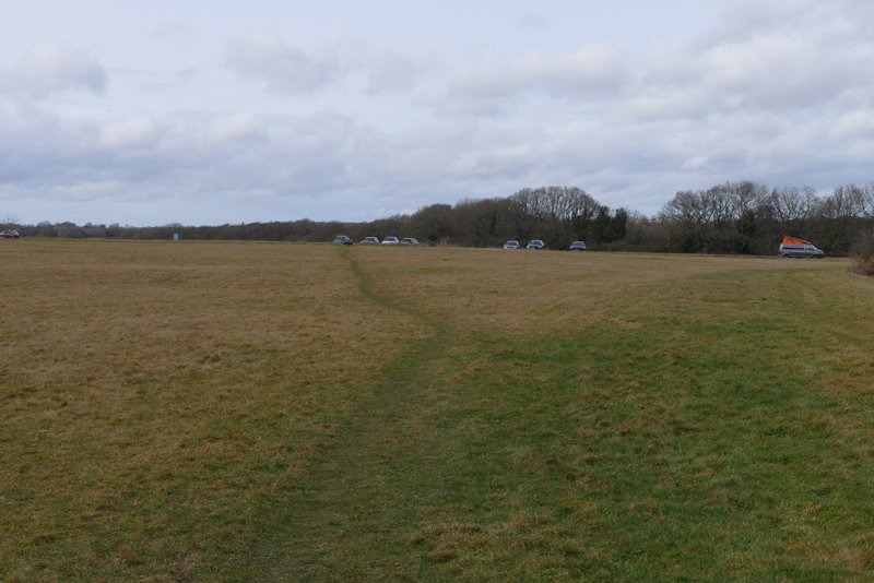
Cars parked along the lane that crosses Maidensgrove Common
This was another lovely day for a walk, much sunnier than had been forecast. It was a very pleasant and easy to follow route, and I'd happily walk it again some time.