Pete's Walks- Cadmore End and Turville (page 4 of 4)
Just before reaching Harecramp Cottages, immediately after a field corner on my right, I took a footpath on the right (the OS map shows the path starting in the field corner for a few yards and then entering the next field). A fairly clear path led through the grass of a large pasture, sloping up to my left, to reach Chequers Lane on the far side. Across the lane a bridleway continued, running alongside Hanger Wood on my right (I'd been through another part of this wood near the start of the walk). The bridleway started quite level, then gradually began to rise gently uphill, steepening a bit just before reaching the end of the wood.
View back from the bridleway to Harecramp Cottages
The bridleway to Harecramp Cottages
The path from Harecramp Cottages to Chequers Lane
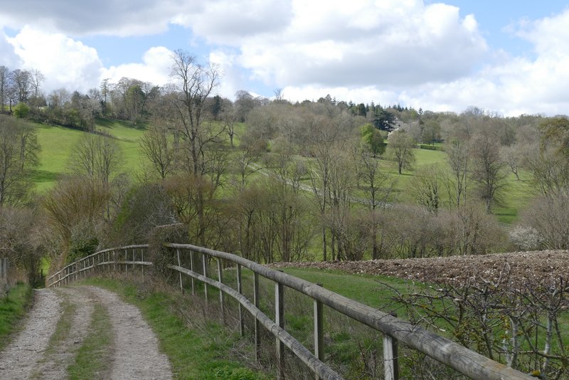
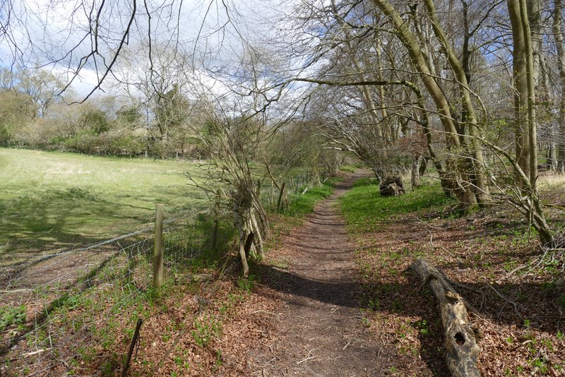
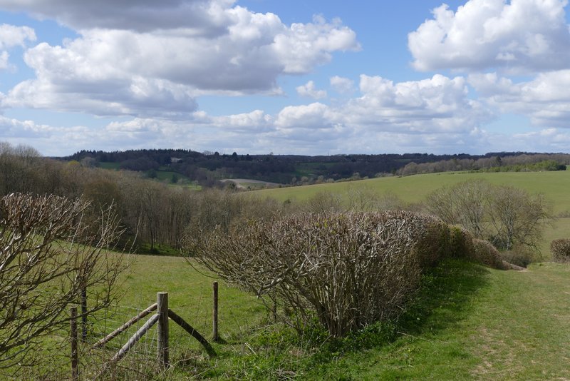
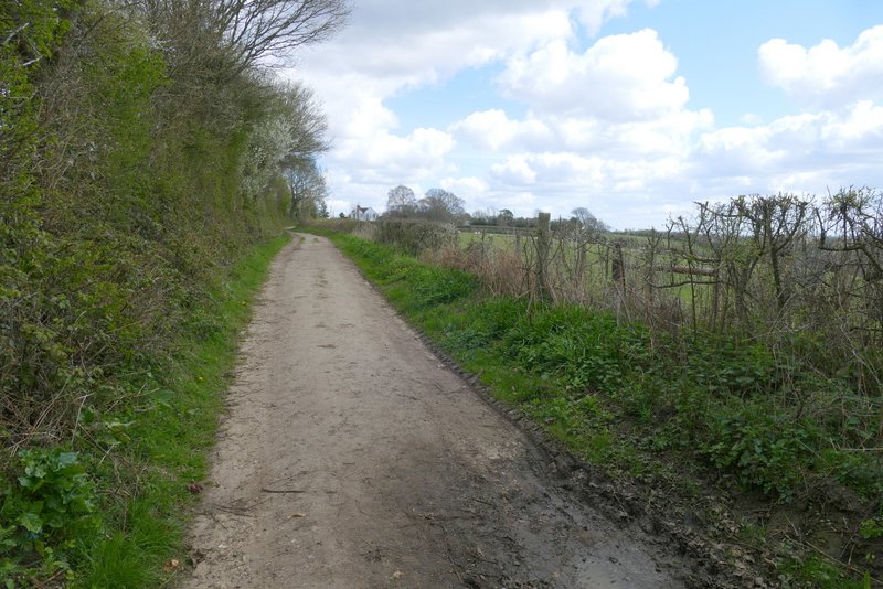
The start of the bridleway from Chequers Lane to Cadmore End (the wood is Hanger Wood again)
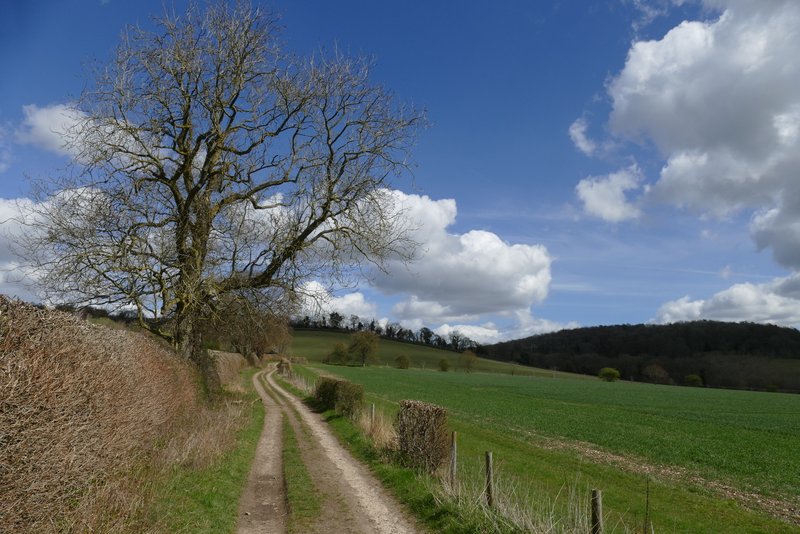
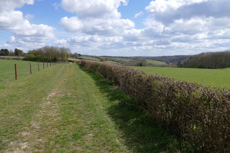
The bridleway from Chequers Lane to Cadmore End
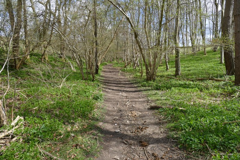
The bridleway from Chequers Lane to Cadmore End
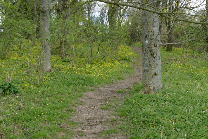
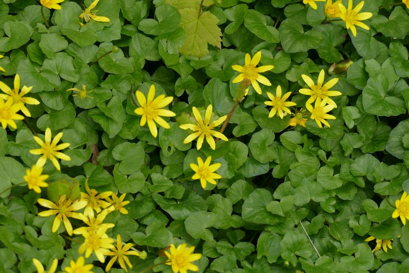
On leaving the wood, the bridleway turned slightly right and followed a hedgerow on my right, still uphill but levelling out after a short distance. The bridleway was now on a farm track, with sheep and lambs over a fence on my left. After a few hundred yards, just before it would have met another track, the bridleway went half left through a small group of trees (where there were masses of Lesser Celandine). I then turned left along a track, where I retraced my steps from the start of walk, returning to Cadmore End and turning left along Church Road.
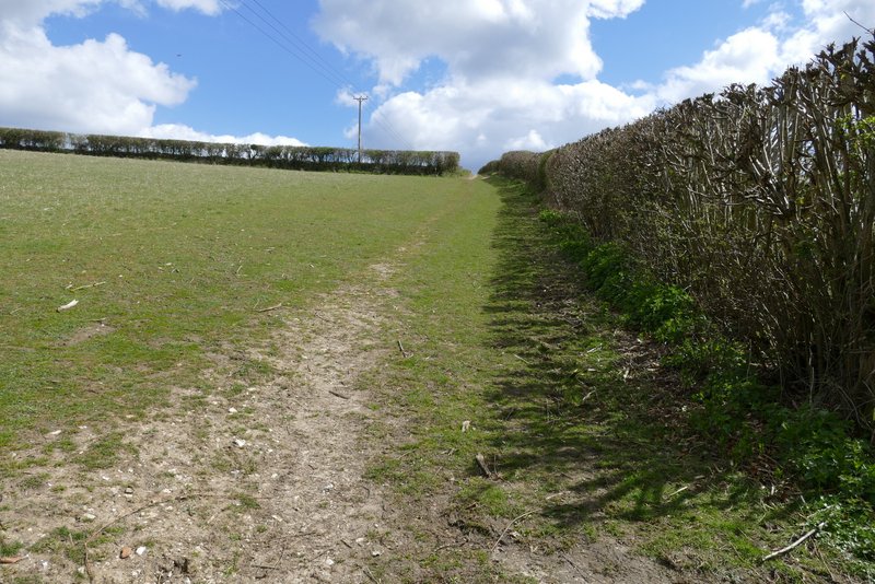
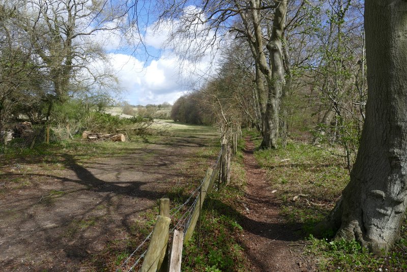
The bridleway from Chequers Lane to Cadmore End, after it leave Hanger Wood
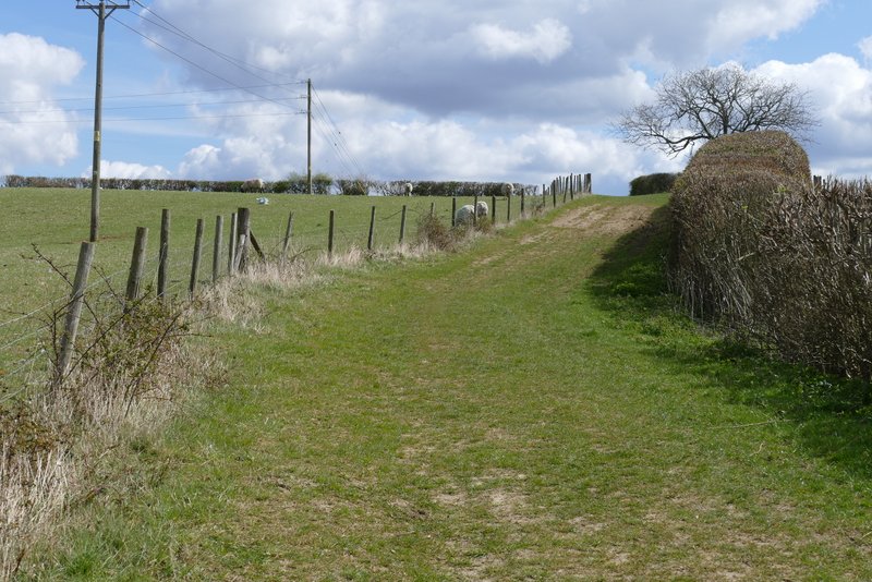
The bridleway from Chequers Lane to Cadmore End
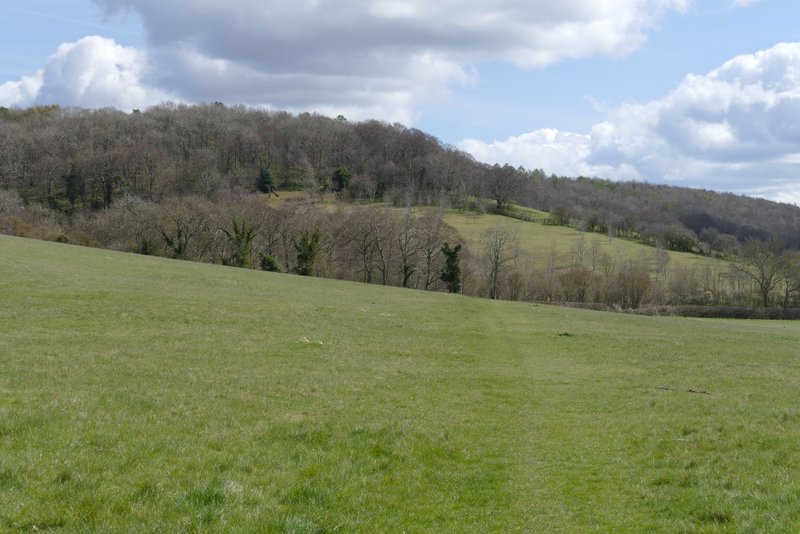
View back from the bridleway from Chequers Lane to Cadmore End
The bridleway from Chequers Lane to Cadmore End
The short bit of path that cuts a corner from where the two farm tracks meet
The farm track back to Cadmore End (that I'd walked at the start of the walk)
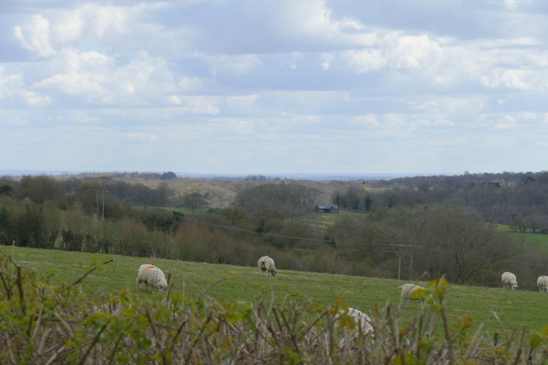
Another view from near Cadmore End (I think that must be Berkshire on the horizon)
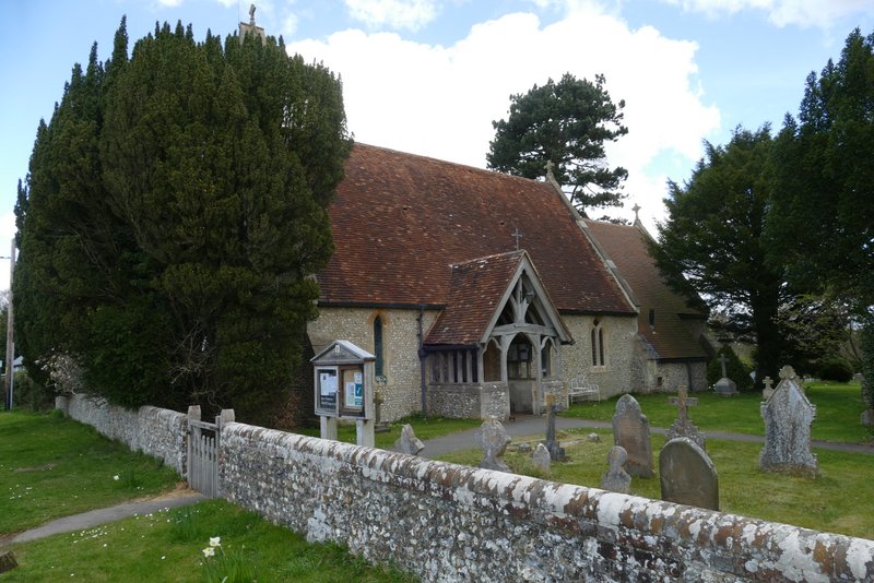
Cadmore End church
I was a little disappointed that it had taken me almost two and a half hours to walk just over five miles, but that was possibly because I'd taken 140 photos (as many as I'd normally take on a 12-15 mile walk!). This was a really good walk, with fine views almost everywhere except in the charming woodland sections. I do find it hard to compare walks because so much of my enjoyment depends on factors such as the weather conditions and what wildlife I see, but even allowing for the fact that this was a gorgeous Spring Day and the fact that there were lots of Spring flowers to see, I do think this is an exceptionally good route (compared to my other ones). It's not very demanding, with two long but gentle uphills and one steep downhill (to Fingest), so it would be suitable for most people. It's certainly one I'd look forward to walking again if I could only manage a 5-mile route.