Pete's Walks- Hawridge, Chartridge End, Great Hivings (page 4 of 4)
If you are considering walking this route yourself, please see my disclaimer. You may also like to see these notes about the maps and GPX files.
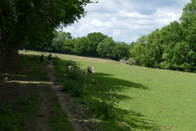
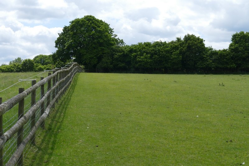
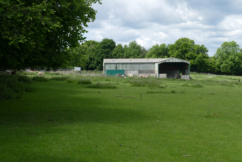
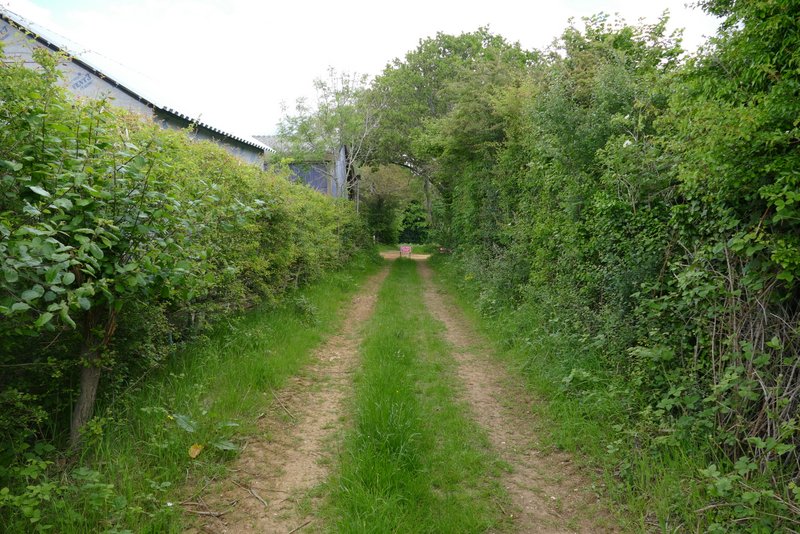
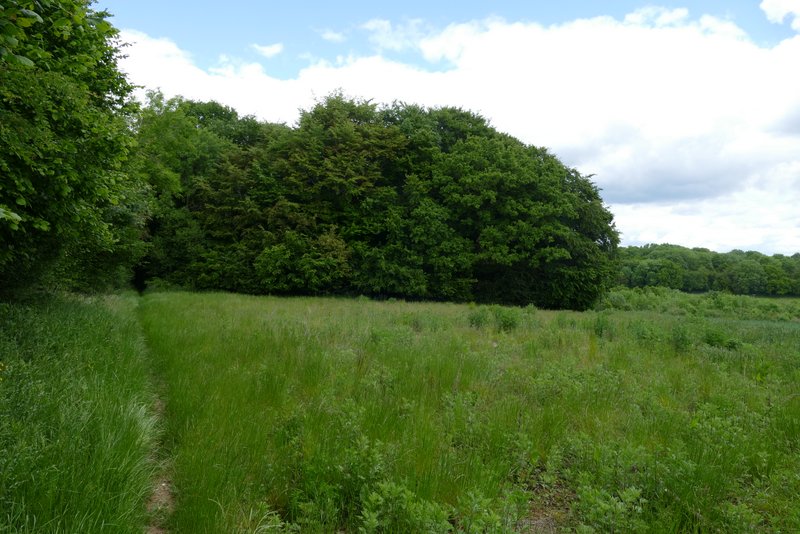
The footpath then continued straight on along along a public byway - I was now definitely in Bellingdon. When the byway turned left, I went straight on through a gate into the corner of a meadow where two footpaths started - I took the path going half-right (north) across the meadow. I passed a corner of a hedgerow on my right, then went up and down a small dip. On the far side of the meadow I reached a path junction where I turned half-left, along the far side of the hedgerow, with a sheep pasture sloping down to my right. Beyond this field the path continued alongside the hedgerow on my left, until it ended, when I turned left, this being the corner of an L-shaped field. I followed a wooden fence on my left to the next field corner, where I turned right (at a path junction) and in the following corner (where there were a few alpacas!) I left the L-shaped field, going through a kissing-gate and following the path past Animal Farm on my right. I then crossed a track called Hawridge Lane, beyond which the path ran for several hundred yards with tall hedges either side.
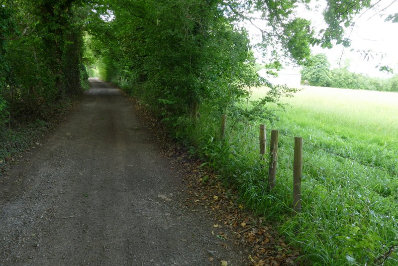
The public byway in Bellingdon
The path going half-right (north) from the path junction at a bend in the byway in Bellingdon
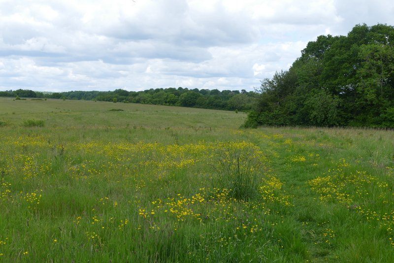
Continuing through the same field
Continuing through the same field
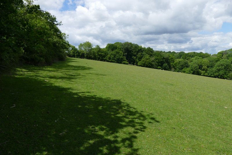
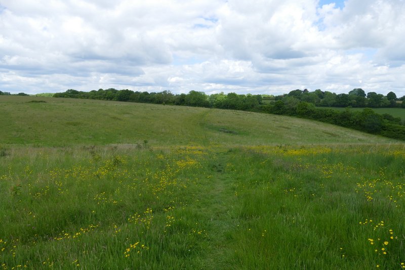
The path after I turned half-left at a junction, to continue northwest
Further along the same path
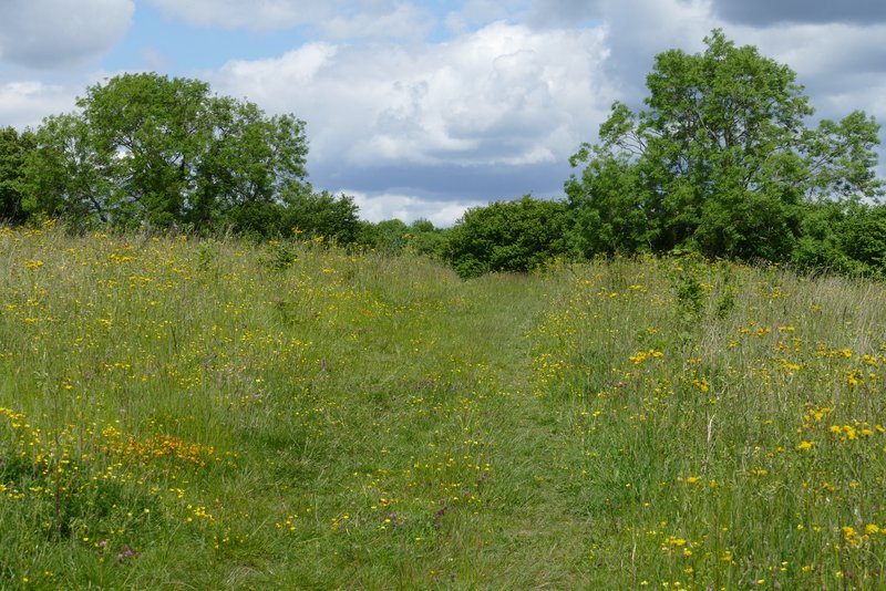
Continuing through the same field, after turning left
Continuing through the same field, after turning right
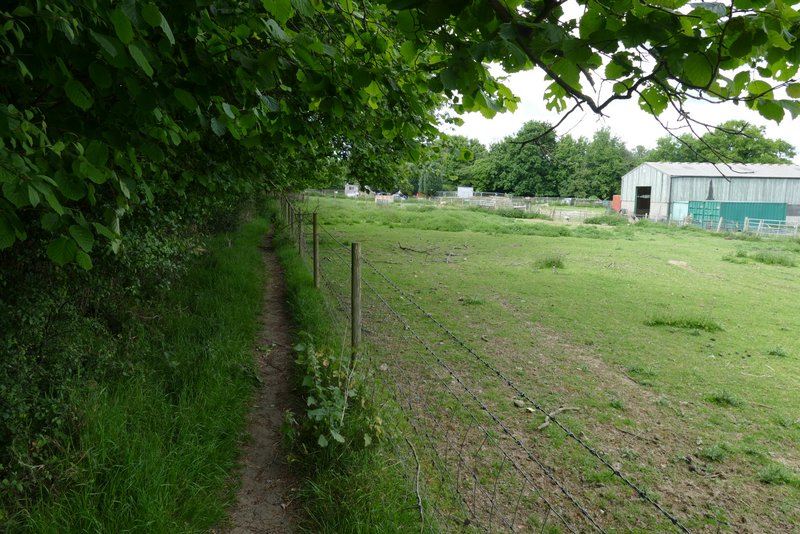
The footpath continuing past 'Animal Farm'
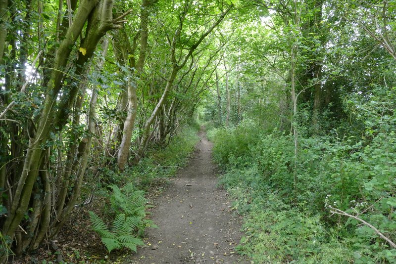
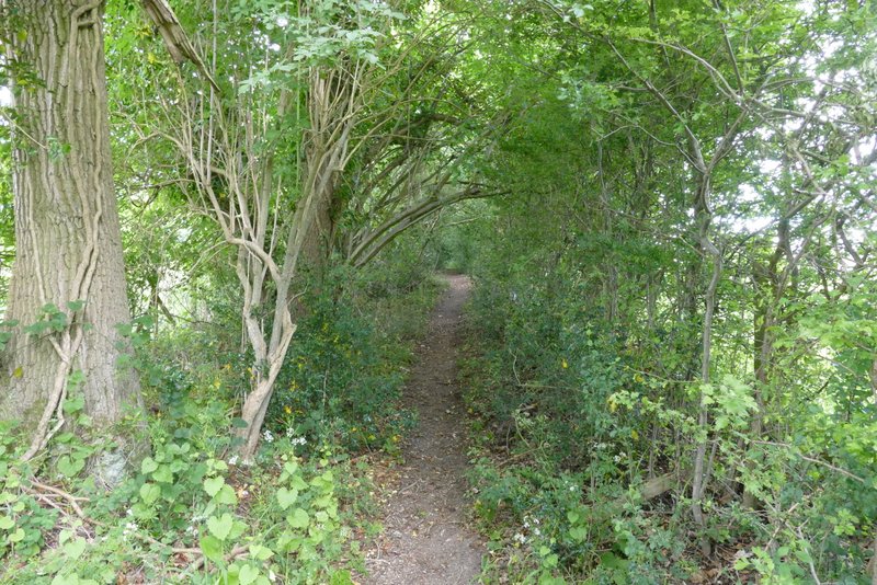
The footpath continuing northwest from Hawridge Lane
On reaching another track or drive, I turned right and passed a house on my left. Just past this I turned left, the path soon running along the left edge of a field. In the next field corner the path went through the hedge and turned right, with something marked 'Works' on the OS map on my left (it seems to be a builders' merchant). At the corner of the Works (where a path goes left) I went straight on for a few yards then went half-left, along the right side of a hedge, to reach Peppett's Wood (named on the Google map, but not on the OS maps). There was initially a lot of holly in the wood, but it gradually became less prevalent as the path dropped downhill into a valley.
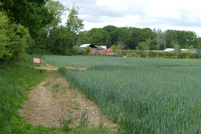
The footpath continuing northwest, approaching what is marked on the OS map as 'Works'
The footpath beside the 'Works'
The footpath from the Works approaching Peppett's Wood (named on Google map, not on OS map)
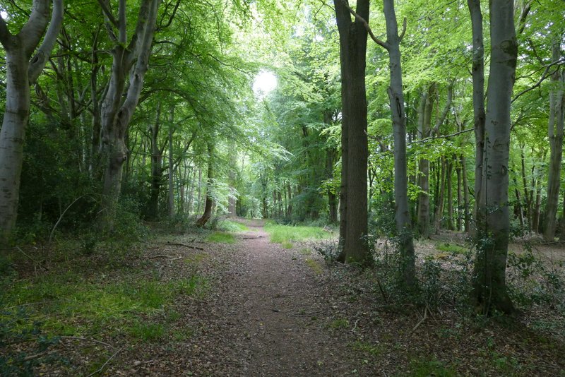
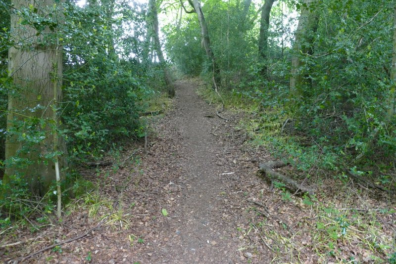
The footpath continuing through Peppett's Wood
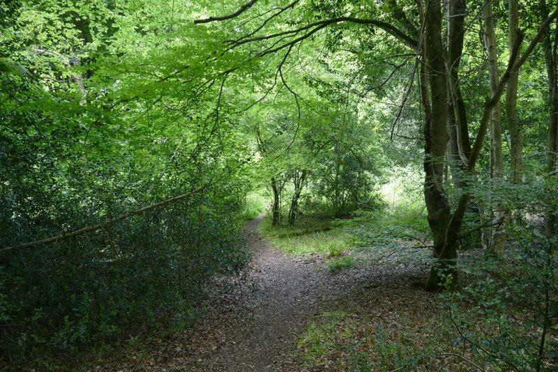
The footpath continuing through Peppett's Wood, near the bottom of the valley
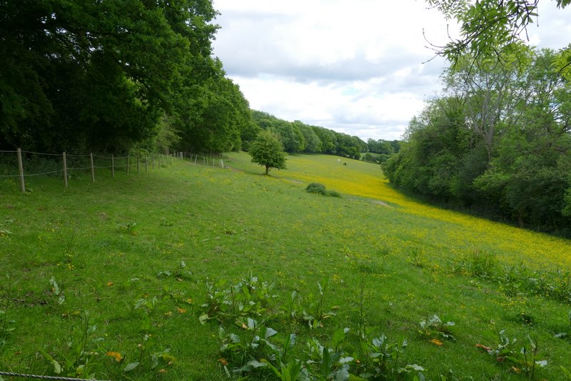
At the bottom of the valley I crossed a path that is part of the Chiltern Heritage Trail (the path runs from near Cholesbury along a valley called White Hawridge Bottom). The path I was on today continued up the opposite hillside, passing some paddocks or meadows on the right. At the top of the hill I reached the road that runs through Cholesbury and Hawridge, where I crossed over and turned left to follow the edge of Hawridge Common back to where I was parked.
The footpath continuing up the other side of the valley
View right from the footpath continuing up the other side of the valley
The footpath continuing up the other side of the valley
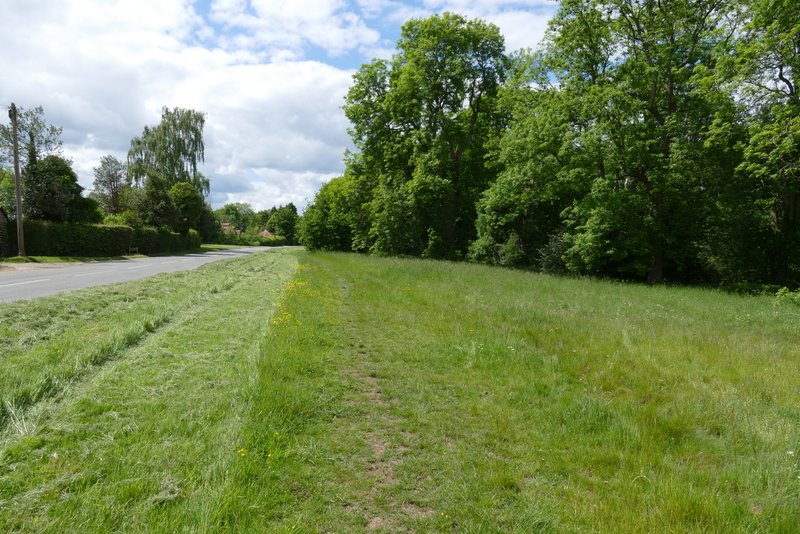
The road walk along the edge of Hawridge Common
It was only about two and a half years since I last did this walk, but I'd forgotten quite how pleasant it was. There's nothing spectacular, just typical Chiltern countryside of alternating hills and valleys with plenty of woods. There were plenty of god views along the valleys, with the path approaching Captain's Wood being a highlight. It's certainly a walk I'd enjoy doing again sometime.