Pete's Walks - Cowleaze Wood, Stokenchurch, Shirburn Hill (page 1 of 5)
If you are considering walking this route yourself, please see my disclaimer. You may also like to see these notes about the maps and GPX files.
NOTE (6/11/2025): Parking at Cowleaze Wood is no longer free, there is now a cashless payment system. To see details, click here and then click on the 'Parking and prices' tab.
I did this circular walk of about 8.7 miles on Saturday, 23rd July 2022. It was a new route for me, with about a third of it on paths I'd never walked before.
I actually came up with this route a couple of months ago, intending to explore some paths just west of Stokenchurch and south of the M40. I saw that I could then cross the M40 and take a long path through the Aston Rowant nature reserve which would bring me to the Ridgeway national trail. Following that southwest a short way, there were three possible routes I could then take back up to Cowleaze Wood, but I decided to extend the route by about 2.7 miles by continuing along the Ridgeway past Shirburn Hill, before taking the path from near Pyrton Hill House northeast back to Shirburn Hill and Cowleaze Wood.
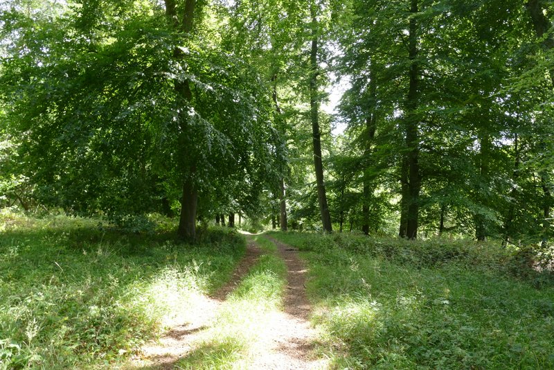
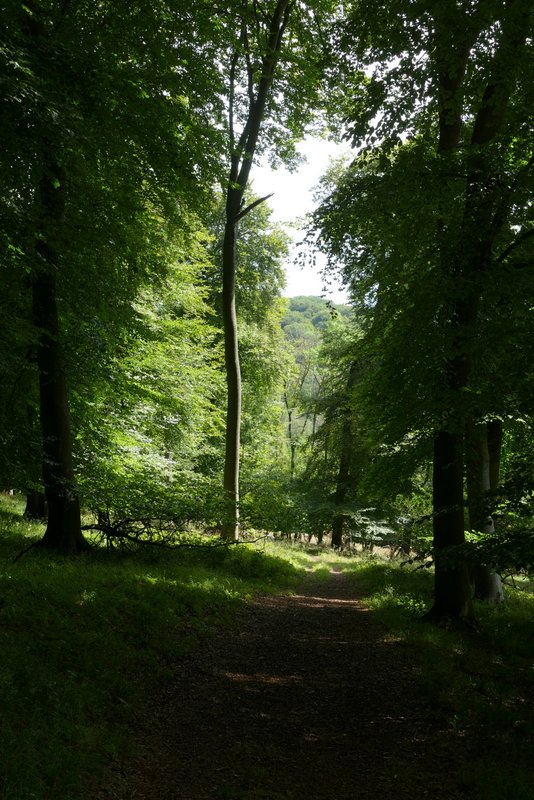
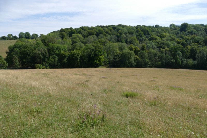
I parked in the large car park at Cowleaze Wood (Grid Reference SU 726956) and started walking about 10.55am. I took the footpath that started near the entrance to the car park, following it through the wood for about half a mile. On leaving the wood, the path continued downhill into the Wormsley Valley, with nice views ahead and to both sides.
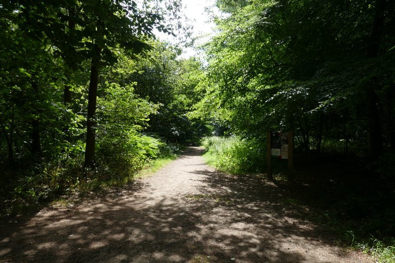
The start of the path through Cowleaze Wood
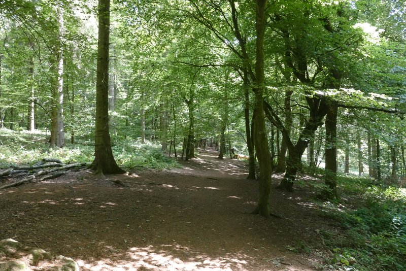
The path through Cowleaze Wood
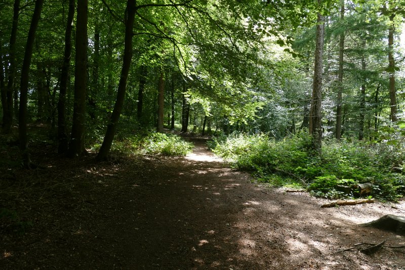
The path through Cowleaze Wood
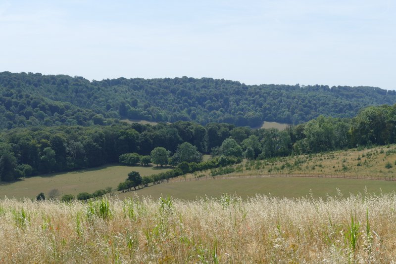
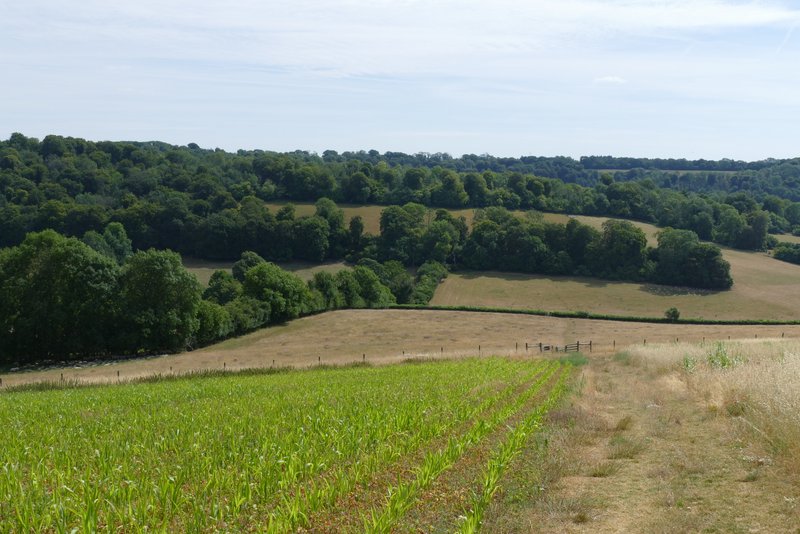
Looking right, along the Wormsley Valley, from the edge of Cowleaze Wood
The path continuing down into the Wormsley Valley
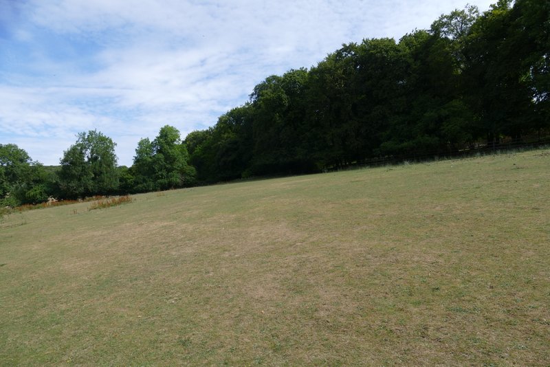
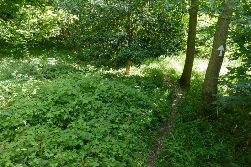
On reaching one of the Wormsley Estate drives, I turned left for a short way and then turned right onto a footpath. This skirted round the gardens of Lower Vicar's Farm (to my left), then went half-left across a sloping paddock to reach a wood called Langleygreen Plantation. The path then continued uphill through the wood to reach a path crossroads near the top of the slope. On the many previous occasions I've come this way I have always turned right here, but today I went straight on, thus starting the section of the route that I'd never walked before. The path continued to rise very gently for a few yards (I spotted a Silver-washed Fritillary here), then dropped downhill. On reaching the far side of the wood, the path continued downhill across a large sheep pasture.
The path from Lower Vicar's Farm up to Langleygreen Plantation
The path continuing up through Langleygreen Plantation
Where I went straight on at a path crossroads in Langleygreen Plantation - this is the start of the section of the walk that I'd never walked before
The path starting to descend through Langleygreen Plantation
The path descending through Langleygreen Plantation
The path continuing from Langleygreen Plantation, descending across a sheep pasture to the valley bottom. A little later on in the walk I would be admiring the views from the field on the top left of this photo.
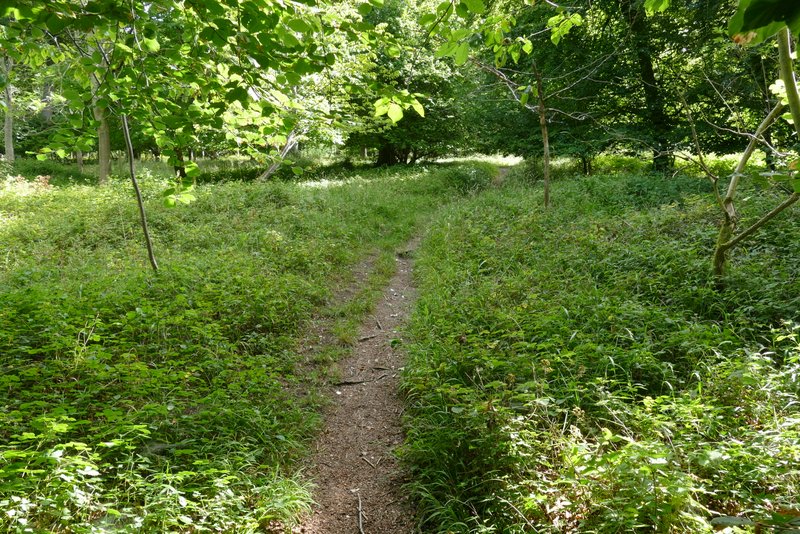
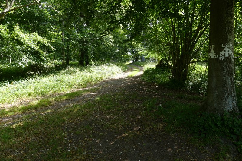
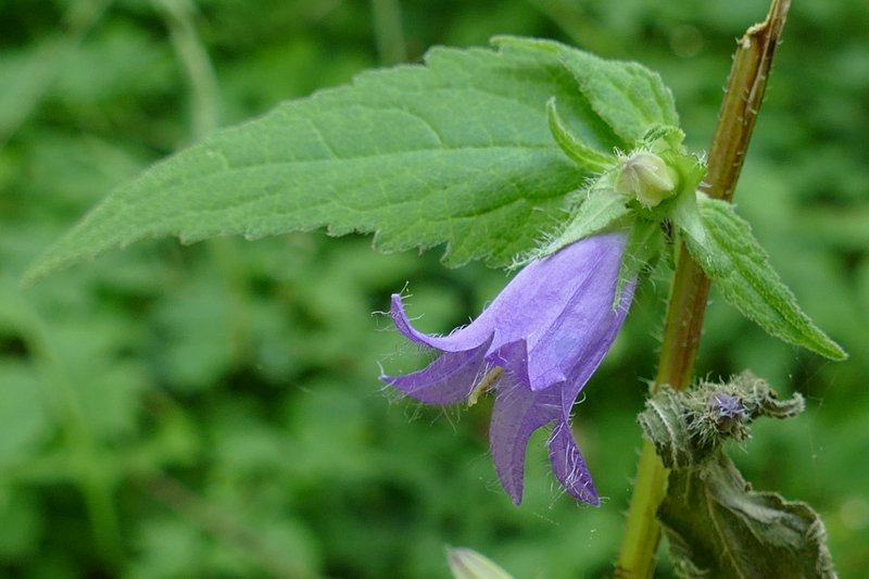
Over a stile in the valley bottom the path forked (half-left and half-right), both options immediately crossing a drive and then heading uphill through an unnamed wood (I'm sure it's actually got a name, it's just not shown on neither the OS map nor on Google maps). I went half-right here, the path through the wood being rather faint in places but always discernible. I spotted my first Nettle-leaved Bellflowers of 2022 here. I had to get down on all fours at one point, to get under an obstruction blocking the path.
The start of the path up through the wood on the other side of the valley
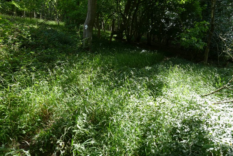
The path up through the wood on the other side of the valley
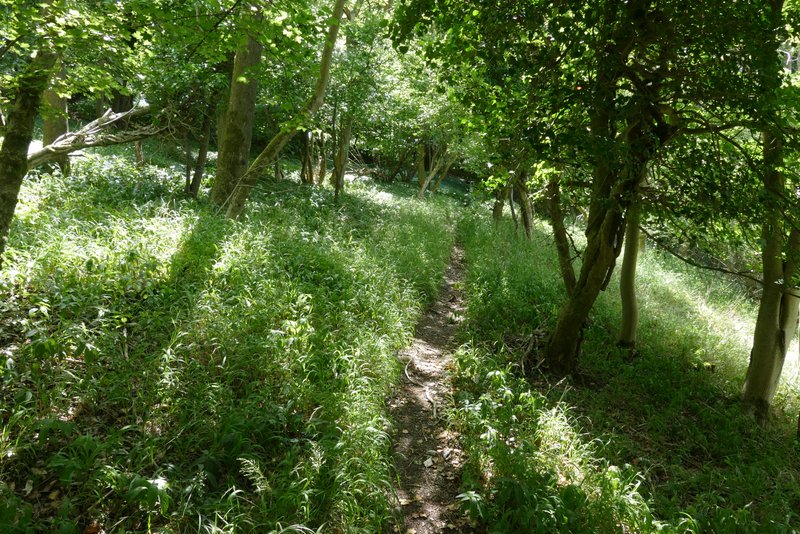
The path up through the wood on the other side of the valley