Pete's Walks - Cowleaze Wood, Stokenchurch, Shirburn Hill (page 2 of 5)
If you are considering walking this route yourself, please see my disclaimer. You may also like to see these notes about the maps and GPX files.
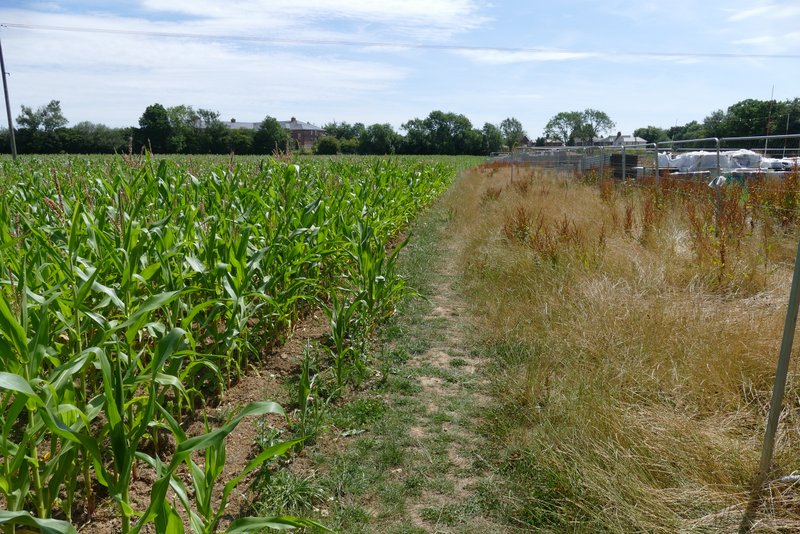
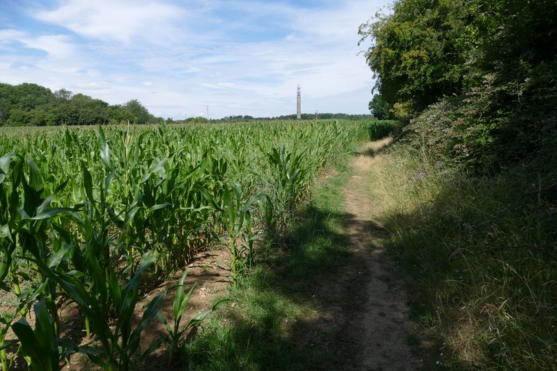
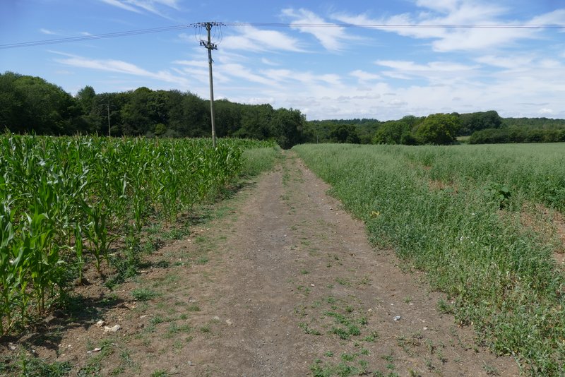
Near the top of the slope I came to a sign saying the path ahead was temporarily closed for safety reasons, because of building work being done at Wallace Hill Farm just ahead of me (I'd intended turning left at a path junction there). A temporary permissive path had been provided, going left through the wood for a few hundred yards. On going through a new wooden gate at the edge of the wood, I continued slightly right, between the edge of the construction area and a field of maize on my left. On reaching the far side of the field I turned left. now on the western edge of Stokenchurch, and followed a path alongside the field for several hundred yards to a path T-junction. Here I turned left, and followed a broad path (still with the maize field to my left) that took me back to the same wood I'd been in a few minutes earlier.
Note: with hindsight, either just before or just after the gate on the edge of the wood I should have met the footpath I'd intended to take (by turning left at Wallace Hill Farm). If I'd have turned left onto it, it would have shortly turned right across the maize field (further north than the permissive path did), and on the other side of the field I would have had to only go a short way left to reach the T-junction. This would have reduced the length of the route from about 8.7 to about 8.4 miles. However, I didn't spot that footpath near the gate, nor did I see the other end of it as I walked along the far side of the maize field).
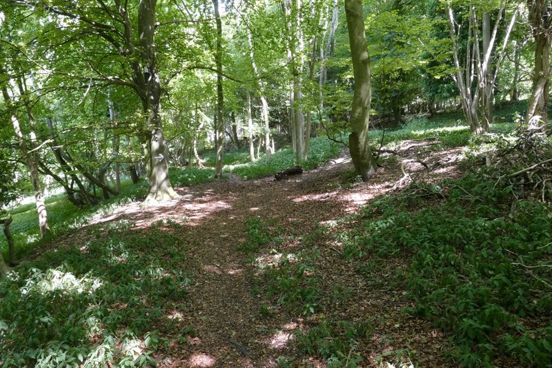
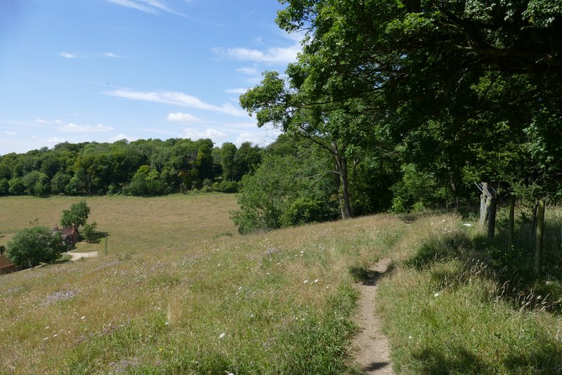
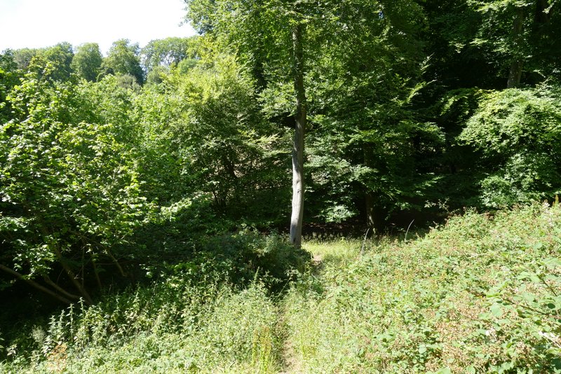
The start of the temporary permissive path
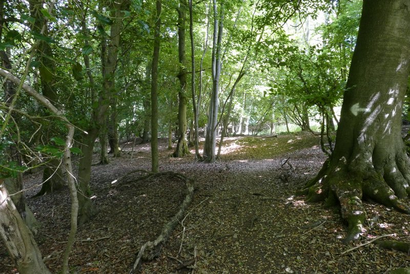
The temporary permissive path
The temporary permissive path
The path along the edge of Stokenchurch, after I turned left
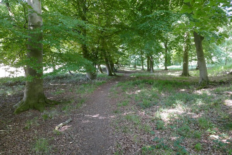
The path after I turned left again, at a path T-junction
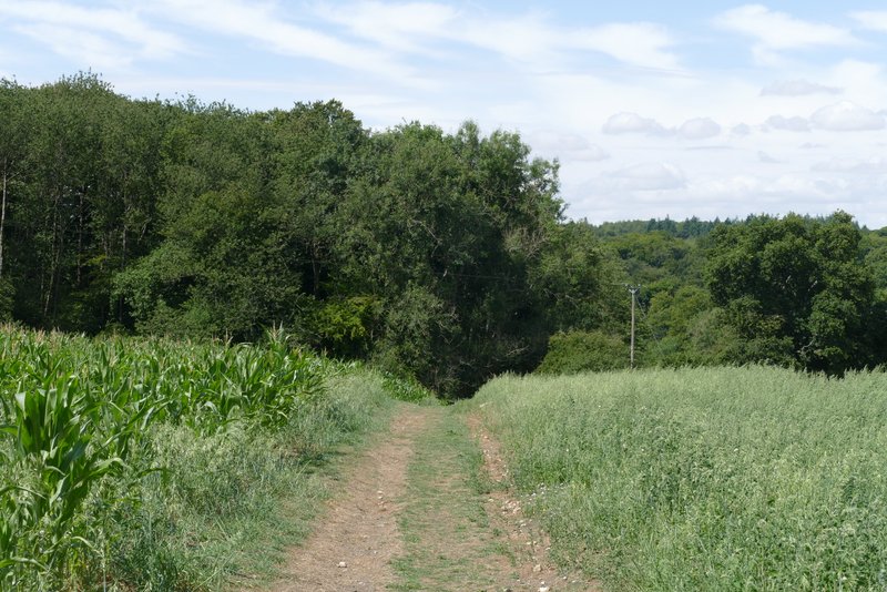
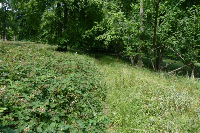
Further along the same path, approaching the wood I'd been in earlier
On entering the wood I immediately forked right (the other path was the one that had forked left where I'd forked right in a valley bottom earlier). Straightaway the path left the wood, going over a stile and crossing a sheep pasture, then turning left along its far side. This was a delightful path, with a really nice view to the left over the end of a valley, with more sloping sheep pastures topped by woods. After a while the path went over a stile and gently descended through North Remlets Wood. It followed a wooded valley bottom for a while before turning left and rising fairly easily through more woods (the OS map shows Langleygreen Plantation to the left, Hailey Wood to the right).
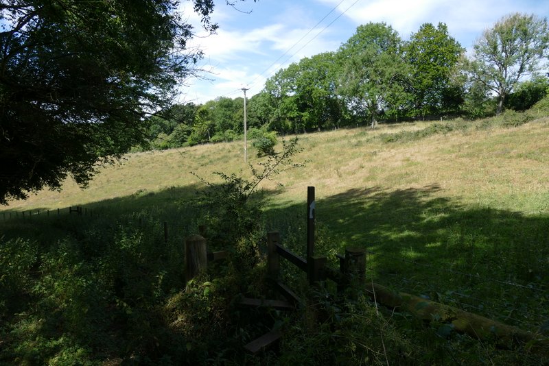
The path after I forked right just inside the wood, where it enters the sheep pasture
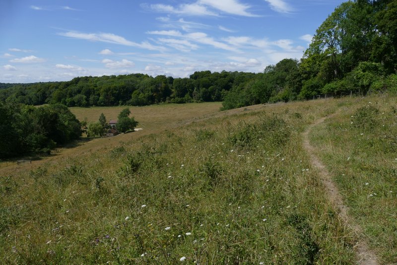
The path continuing along the far side of the sheep pasture
The path continuing along the far side of the sheep pasture
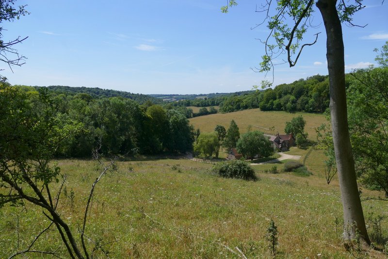
View from the sheep pasture (the sheep pasture I was now in was the field I could see from the sheep pasture I crossed earlier, which is the one in the centre of this photo)
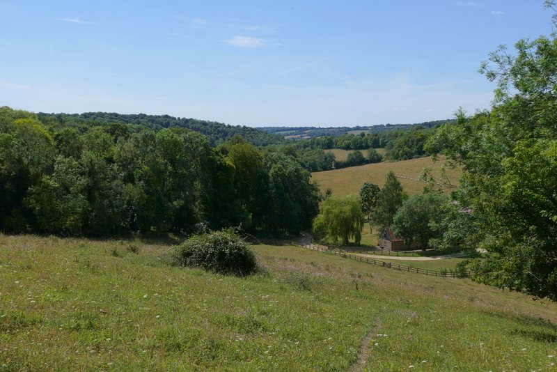
View from the sheep pasture
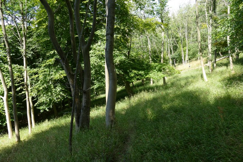
The path continuing through North Remlets Wood
The path continuing through North Remlets Wood
The path continuing through the woods

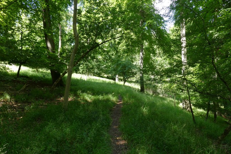
The path continuing uphill through the woods (Langleygreen Plantation to the left, Hailey Wood to the right)
The path continuing uphill through the woods
The path continuing uphill through the woods