Pete's Walks - Ashridge, Frithsden, Ward's Hurst Farm (page 5 of 5)
If you are considering walking this route yourself, please see my disclaimer. You may also like to see these notes about the maps and GPX files.
I went straight on along the path, which soon levelled out and then turned right. I then looked out for a path on the left that took me a few yards to a road, opposite the start of the drive to Ward's Hurst Farm. I then followed the drive towards the farm. On reaching the farmyard the path goes left and then right, with farm buildings either side (yellow waymarks show the way). I made my way to where there were numerous waymarks near a gate on the left, then turned right to pass between more farm buildings (I was now back on the route of the Ashridge Estate Boundary Trail), and would be for the rest of the route).
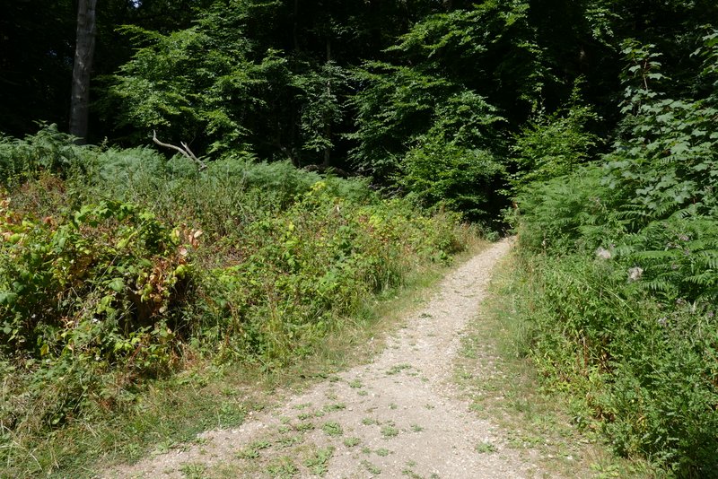
The path continuing after crossing a bridleway (the one I initially took from the Bridgewater Monument)
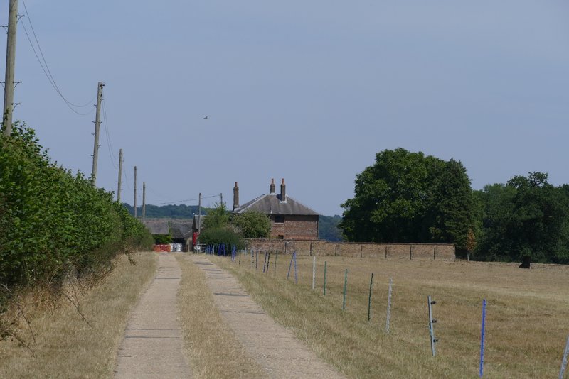
The drive to Ward's Hurst Farm
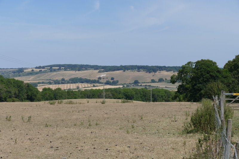
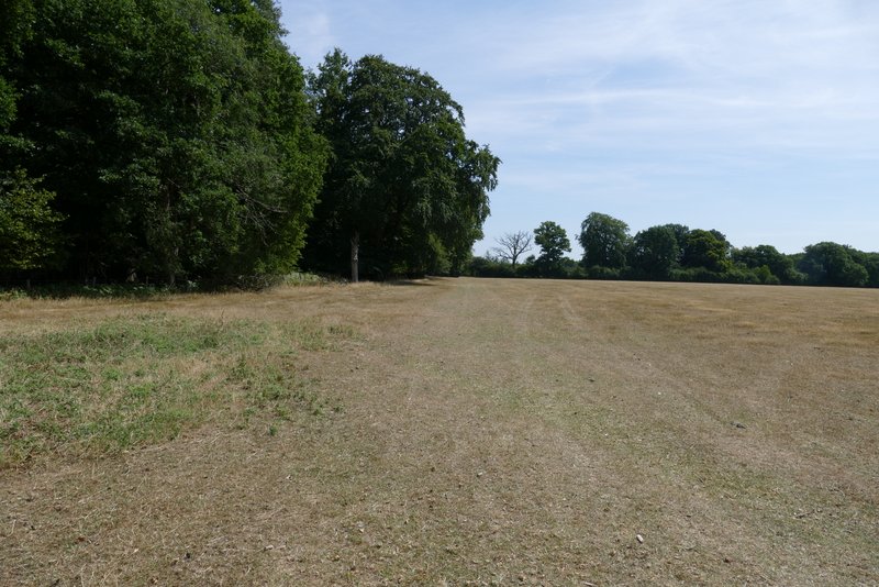
Bison Hill and the Whipsnade Downs from Ward's Hurst Farm
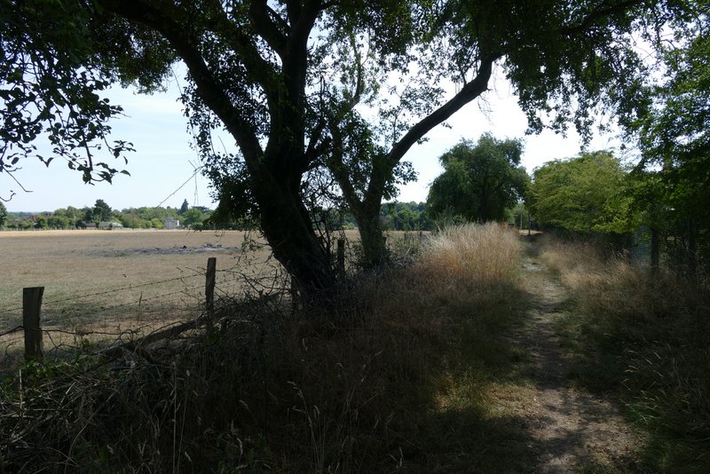
The path continued across four sheep pastures (there were sheep sheltering under the shade of a tree in the first one), following the edge of a wood on the right in the last of these fields. It continued under a 'green tunnel' of overhanging branches for a short way, then continued along the edge of a meadow. It then turned right, near a small reservoir, and joined a drive which it followed to a road on the edge of Ringshall.
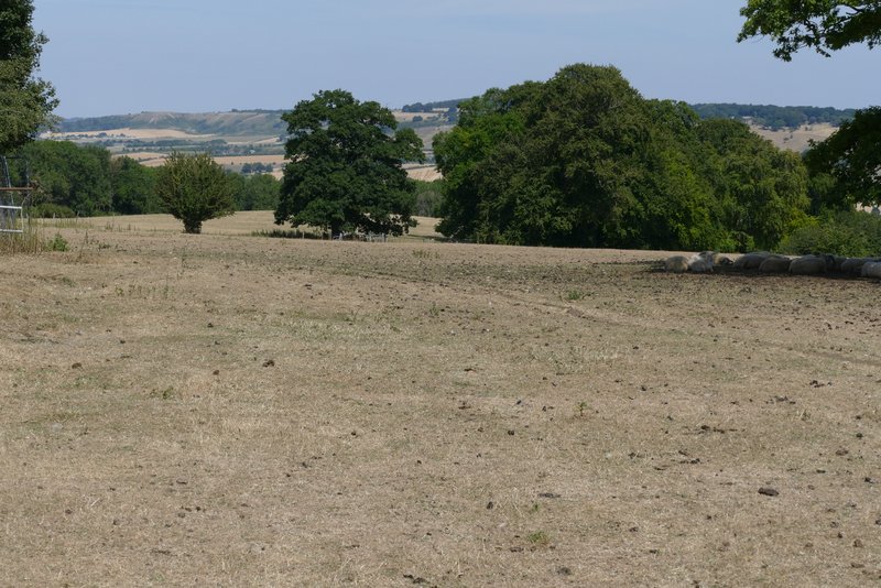
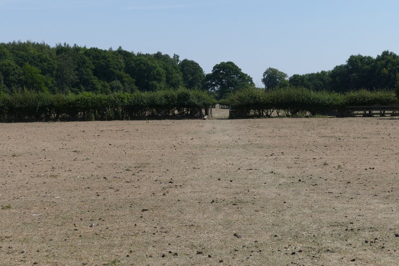
Dunstable Downs from near Ward's Hurst Farm - note the sheep gathered in the shade of a tree, on the right
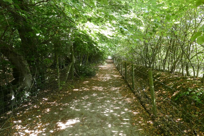
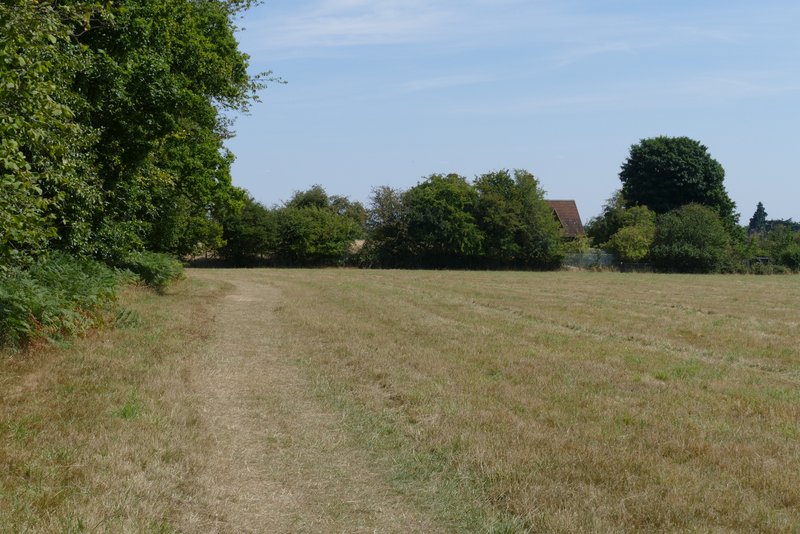
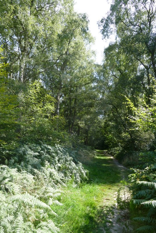
The footpath to Ringshall from Ward's Hurst Farm
The footpath to Ringshall from Ward's Hurst Farm
The footpath to Ringshall from Ward's Hurst Farm
The footpath to Ringshall from Ward's Hurst Farm
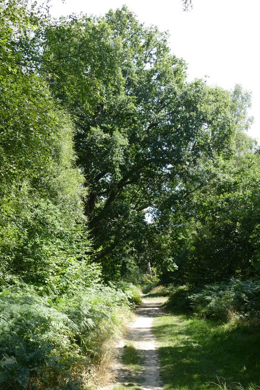
The footpath to Ringshall from Ward's Hurst Farm, after it turns right near a reservoir
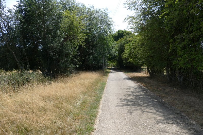
The footpath to Ringshall from Ward's Hurst Farm
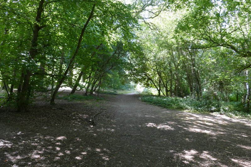
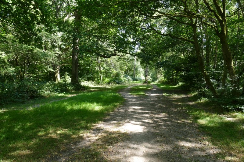
Across the road I was back in the woods of Ashridge. A path went straight on, close to a large parking area on the right, for about a quarter of a mile. I then turned left for a short distance, then soon went right at a path T-junction, before going left at a path crossroads. This path led through the woods for about a quarter of a mile and brought me back to where I'd started at the small car park south of Ringshall.
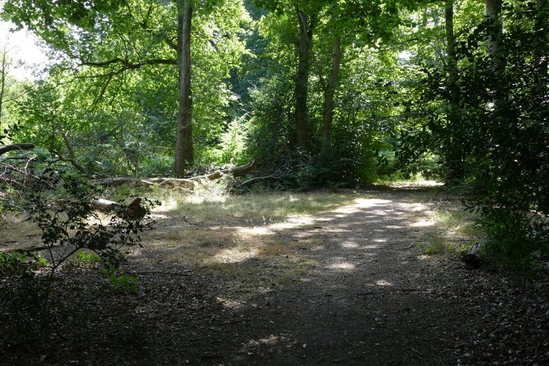
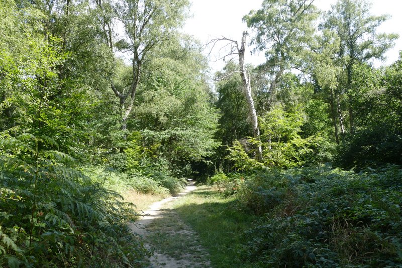
The footpath after crossing the road at Ringshall, now back in the woods of Ashridge
The footpath after crossing the road at Ringshall
The path after I turned left
The path after I turned right and then left again
Further along the same path
Further along the same path, just before I reached the car park where I'd started
This was a good walk to do on a warm day, as much of it was in the woods of Ashridge (I'm very lucky to have such a lovely area of extensive woodland just a few miles from my home). I think the temperature was in the low twenties, I certainly never felt uncomfortably warm - although I noticed both sheep and cattle sheltering in shady spots. It was certainly an enjoyable route and I'd be very happy to walk it again. It made a pleasant change to the usual shortened version of the Ashridge Estate Boundary Trail) that I do (see here) - I may well do that walk again soon, if what is now officially a drought continues much longer.