Pete's Walks - Cholesbury and The Lee (page 6 of 6)
If you are considering walking this route yourself, please see my disclaimer. You may also like to see these notes about the maps and GPX files.
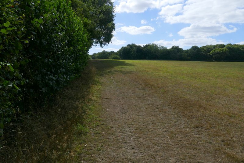
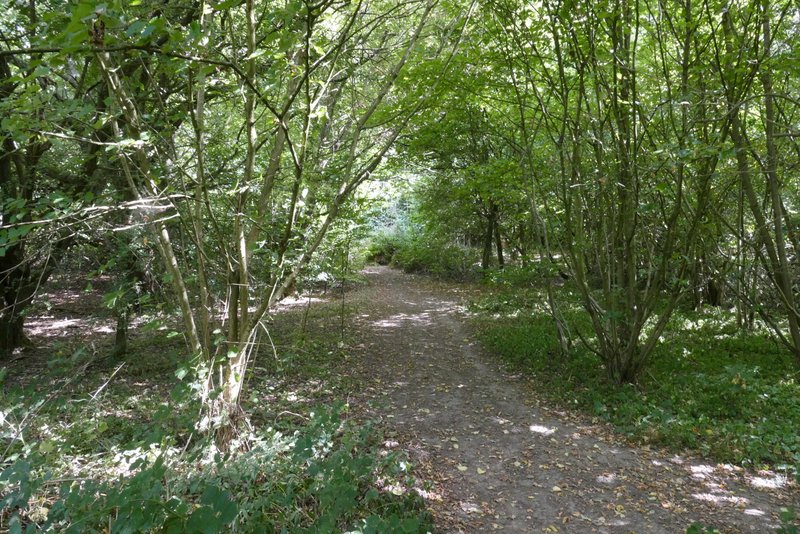
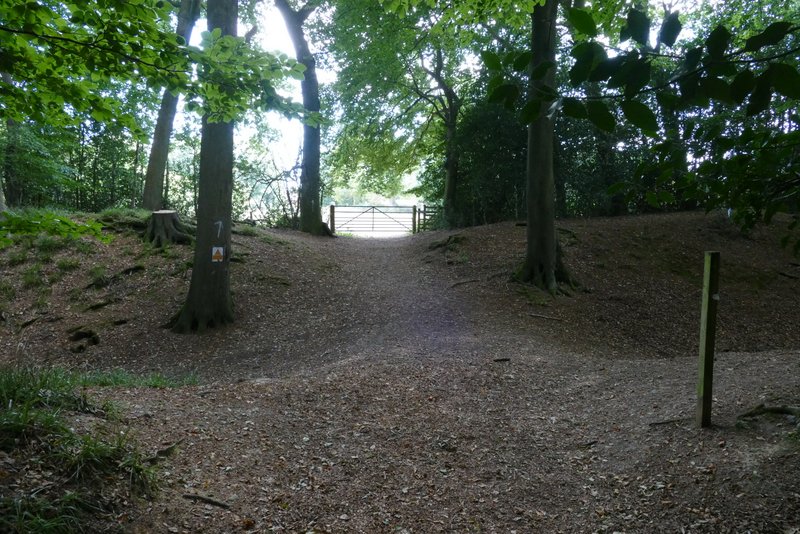
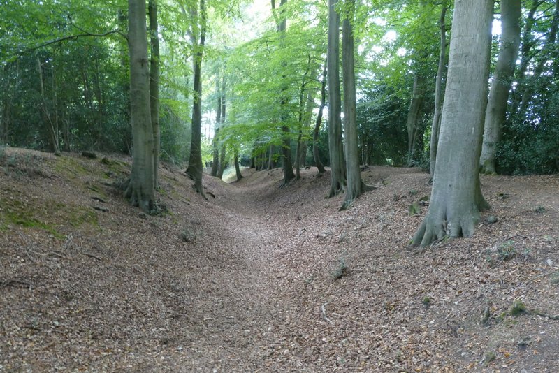
I went a short way left, then took a path on the other side along the right edge of a field that had been left fallow this year. On reaching the corner of this field, the path turned right and almost immediately passed through a tree belt. Immediately after the tree belt a path went left, following the edge of the tree belt (which ran along the course of Grim's Ditch). At the end of the tree belt I turned right along a hedge-lined byway (Browns Lane). After a while, this entered Shrubb's Wood, but still with fields close to my right. After a quarter of a mile or so I had a wood called High Scrubs on either side, then after a few hundred yards I had another field close by on my right. After another three or four hundred yards I came to a path junction, where I turned right. leaving the wood and following a hedgerow on my left to return to Shire Lane.
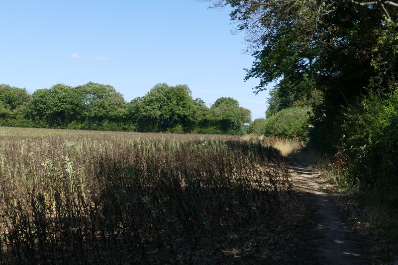
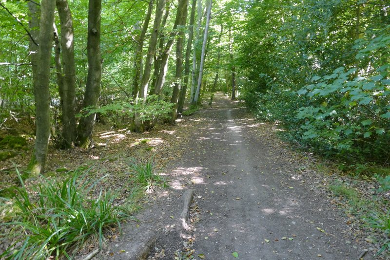
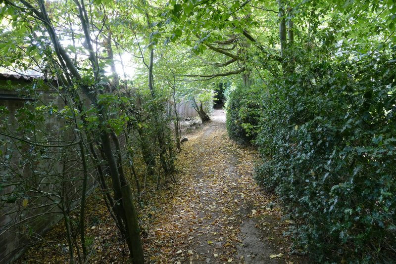
The path on the other side of Shire lane
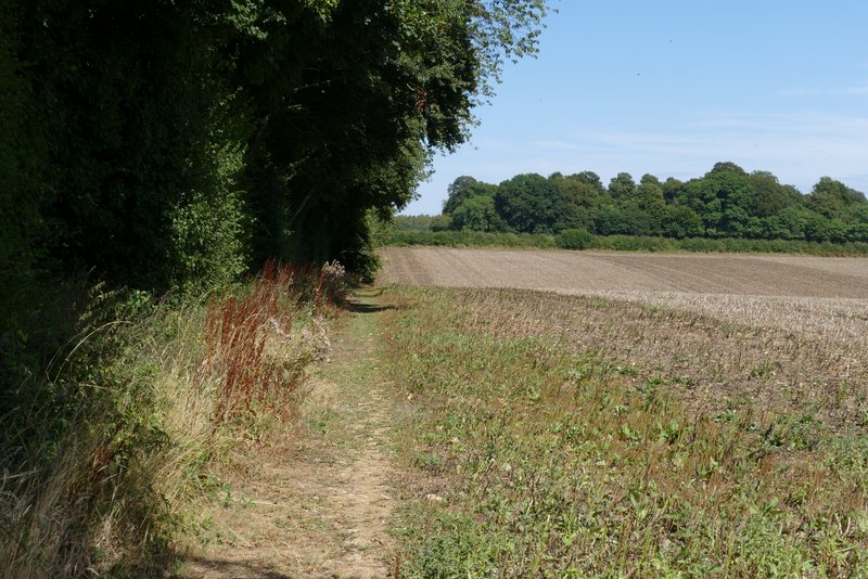
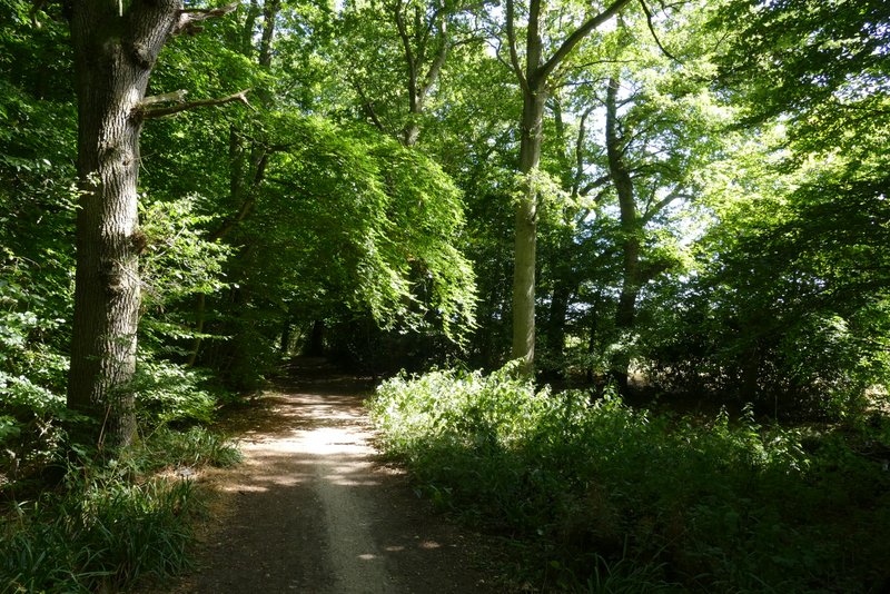
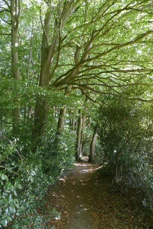
The path after I turned left along the edge of a tree belt (running along the line of Grim's Ditch)
Browns Lane
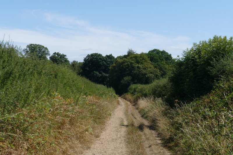
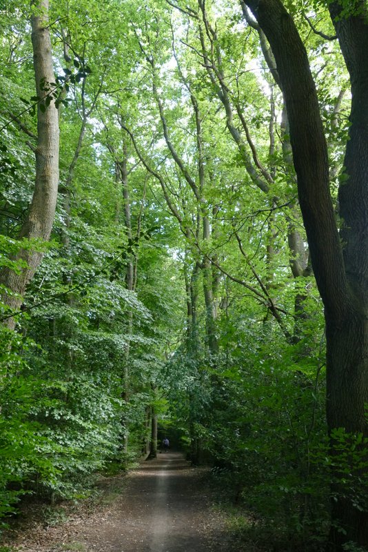
The byway in Shrubb's Wood
The byway in Shrubb's Wood
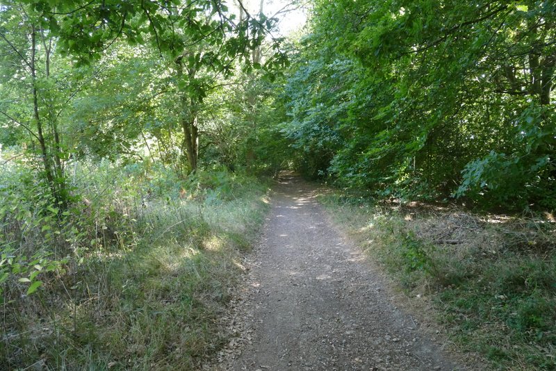
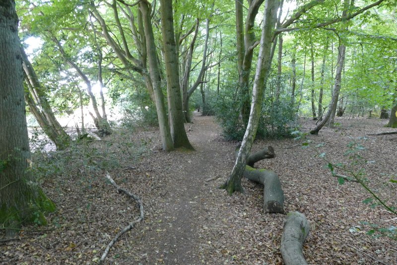
High Scrubs Wood
High Scrubs Wood
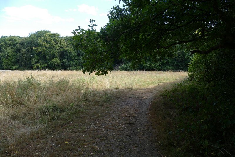
The path going right from High Scrubs Wood
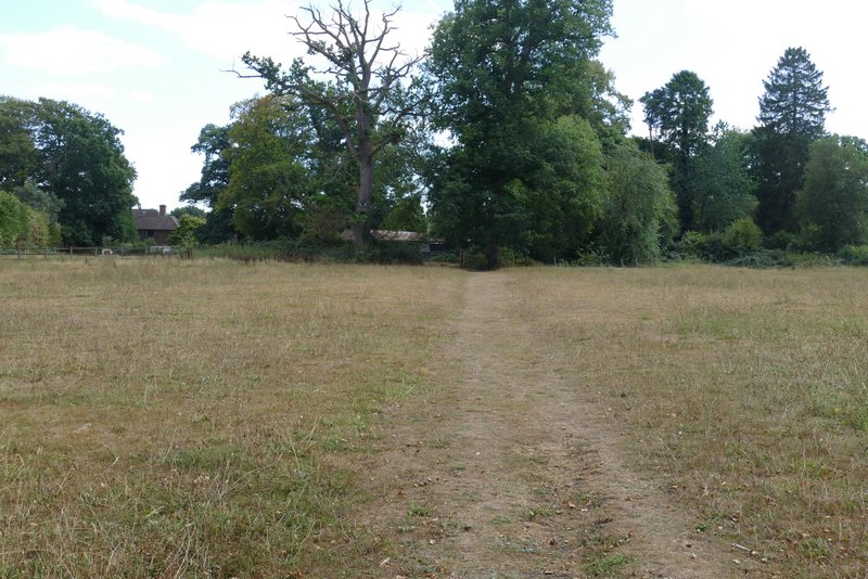
Just a few yards to the left, I took a path on the other side of Shire Lane (next to a property named Montana). This was soon running just inside part of Drayton Wood, with paddocks to my left. On reaching a path crossing, I turned left, this path running along the edge of a couple of paddocks and then running just inside an edge of a small Beech wood. Shortly after this I crossed the large ditch surrounding the Iron-age hill fort of Cholesbury Camp. The path continued across the paddocks within the fort, leaving it by Cholesbury village Hall. I then turned left along the road through Cholesbury to reach the cricket pitch and my parked car.
The path that starts to the left of a property named 'Montana'
The path continuing just inside Drayton Wood
The path through the paddocks, after I turned left to leave Drayton Wood
The path continuing towards Cholesbury
The path continuing towards Cholesbury
The same path, where it crosses the ditch of Cholesbury hill fort
Looking right from where I crossed the ditch of Cholesbury hill fort
The path crossing the inside of Cholesbury hill fort
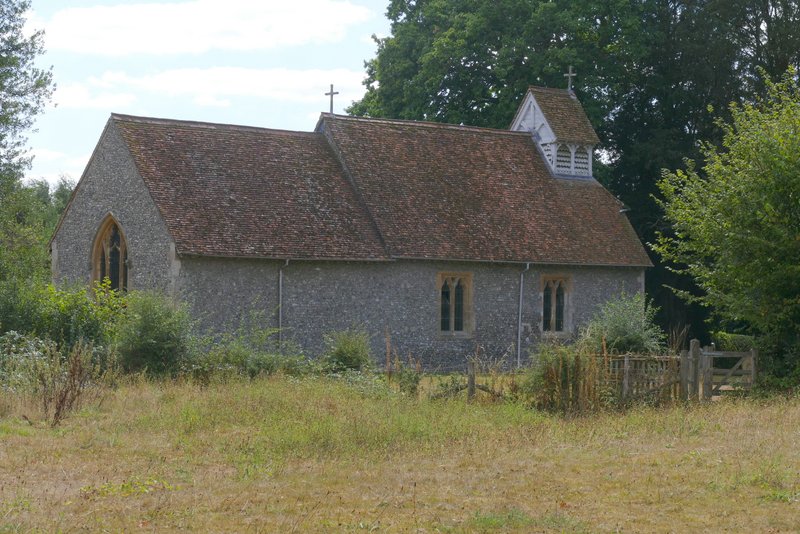
St Lawrence's church, inside Cholesbury hill fort
I was a little concerned about leaving my sun hat at home, but fortunately got away with it - the temperature only reached 22-23C, there was a cool breeze as I followed the path from The Lee to Kingsash, and a large portion of the walk was in the shade of woodland. I only really mention it as I think it was a first for me (I've forgotten my camera, map or lunch on previous occasions!). Anyway, I enjoyed the walk very much, despite it being very flat (apart from the path up to Bray's Wood) and despite the fact that most of it was on paths I've walked many times before. It was the usual Chiltern mixture of woodland and field paths, and it managed to largely avoid human habitation, only visiting the village of The Lee and the small hamlets of Bellinger Bottom and Kingsash.