Pete's Walks- Bradenham and Studley Green (page 3 of 4)
If you are considering walking this route yourself, please see my disclaimer. You may also like to see these notes about the maps and GPX files.
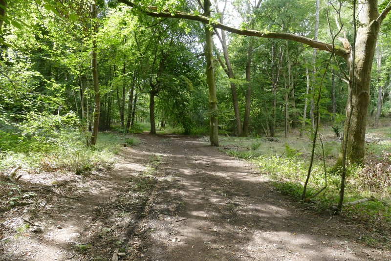
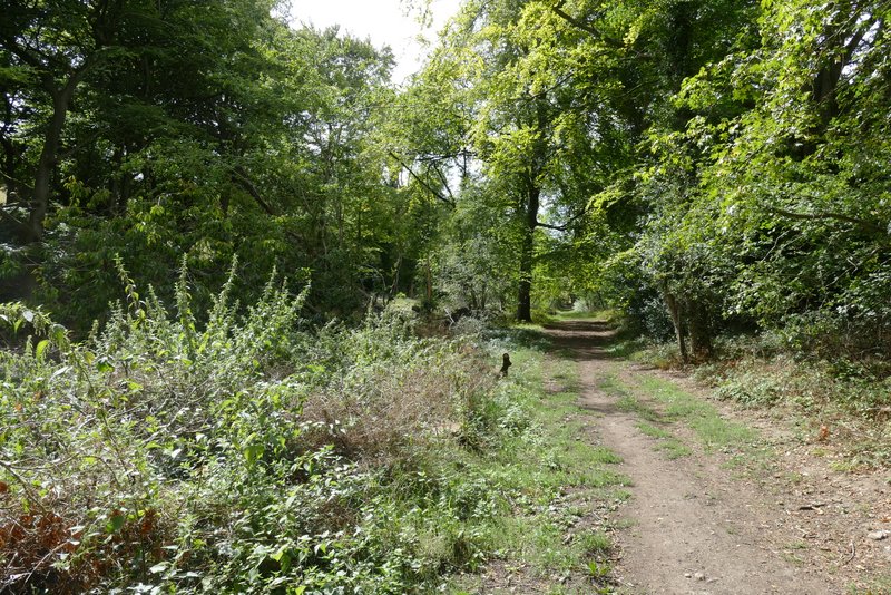
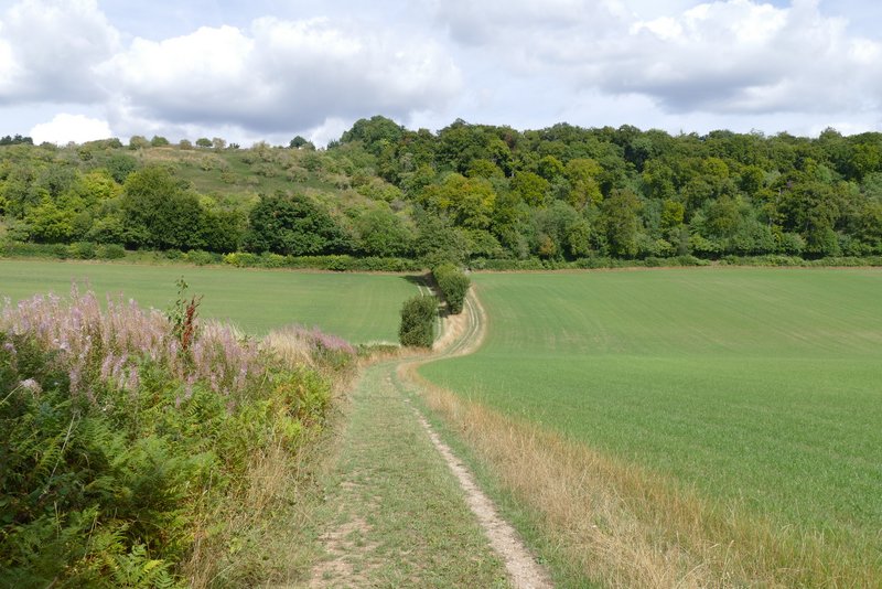
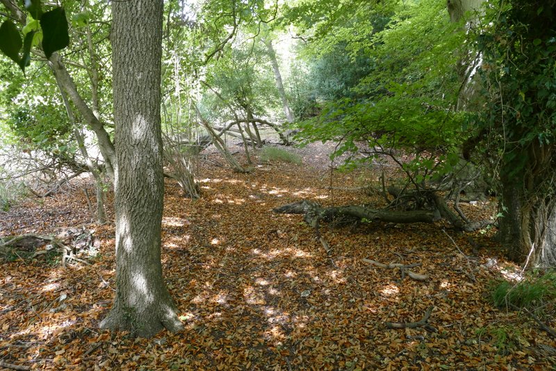
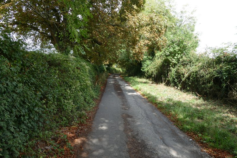
The bridleway through Bottom Wood was a good track, which followed the curving valley floor. It reached the end of the wood after about half a mile, where I turned right on a crossing footpath. This path followed the bottom of a small side valley, alongside a tall hedgerow on my left with paddocks sloping up on my right. At the end of the path I turned right onto a lane, which went uphill through part of Radnage (this part having the rather curious name of The City). For some reason this bit of uphill along the lane always seems steeper and longer than I remember, and today was no exception.
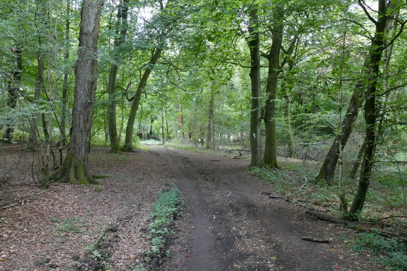
The bridleway through Bottom Wood
The bridleway through Bottom Wood
The bridleway through Bottom Wood
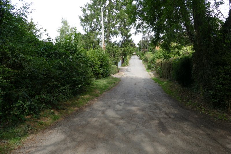
The path from Bottom Wood to Radnage
The lane through The City, Radnage
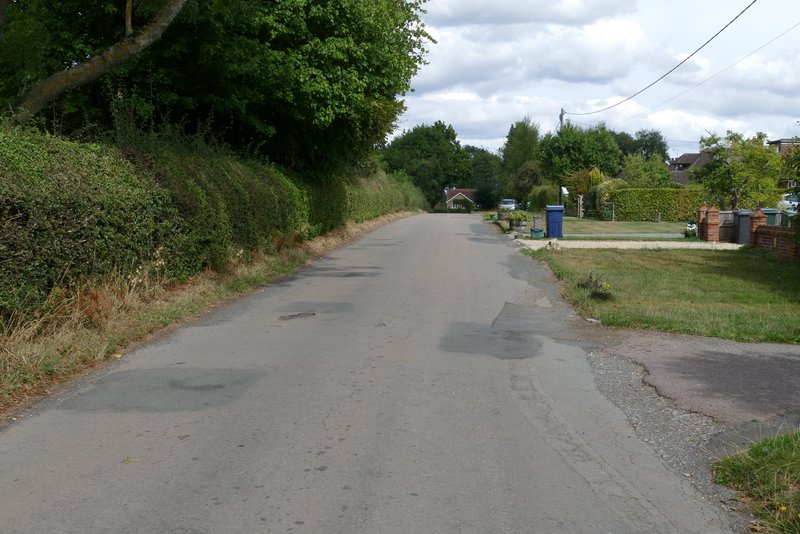
The lane through The City, Radnage
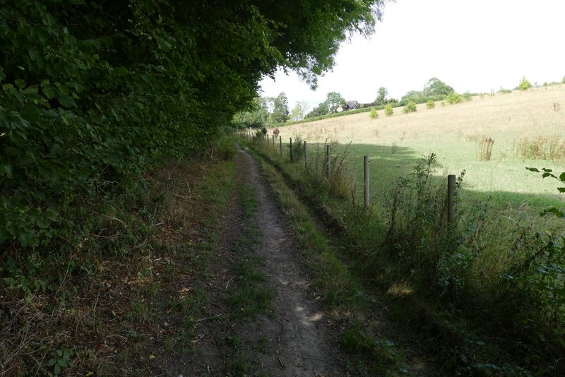
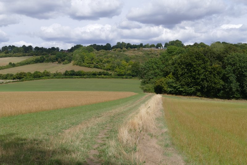
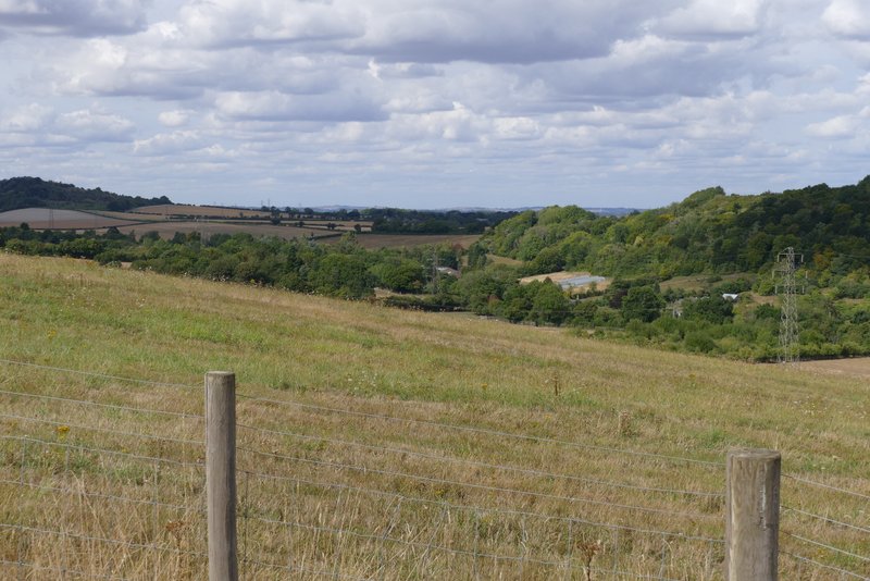
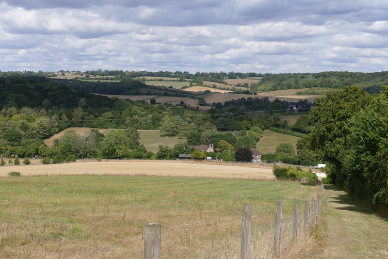
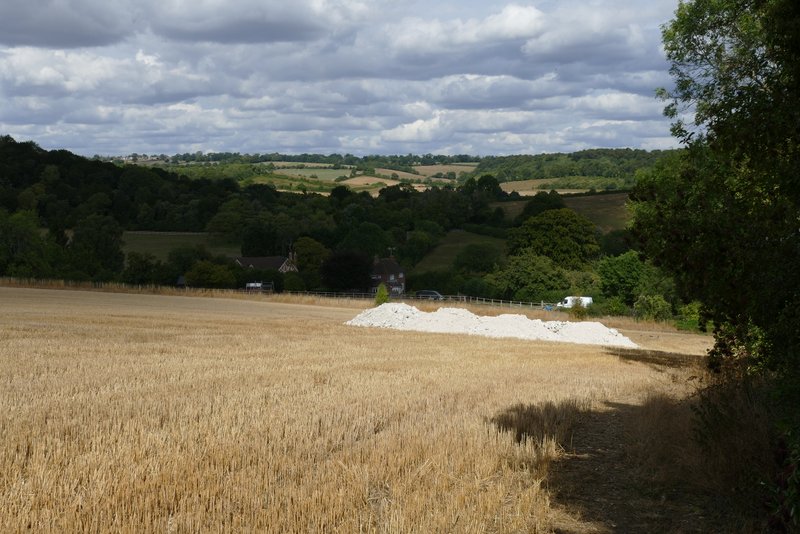
At the end of the lane I turned left for about a hundred yards before taking a bridleway on the other side of the road. This was soon descending into the large valley between Radnage and Bledlow Ridge (the latter is the name of a village as well as of a hill). There was a huge field of stubble on my right, and looking along the valley in that direction I could just make out the tower of St Lawrence's church on West Wycombe Hill. The path soon passed through another small wood, then rose slightly up the other side of the valley to meet Bottom Road (I'd crossed this lane in Chorley earlier).
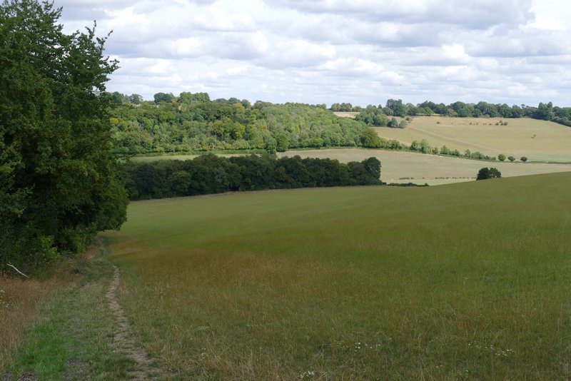
The bridleway descending from Radnage
The bridleway descending from Radnage
The bridleway descending from Radnage (and then rising a little to reach Bottom Road)
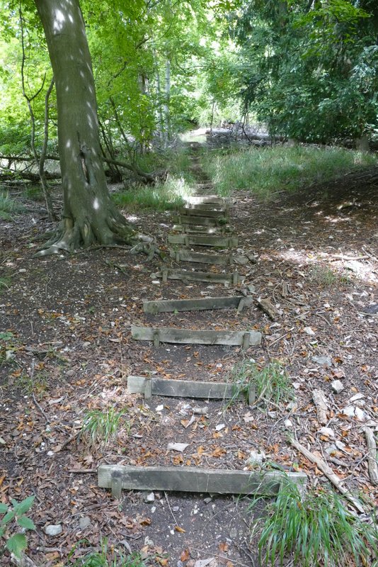
I crossed the lane and took a path starting on the other side (just a yard or two to the right, it wasn't immediately obvious). This was soon climbing a very steep and long flight of 'steps' - as this part of the path was in a wood, there weren't any views to distract me from what was just a bit of a slog. I'm not fully fit at the moment, and I struggled more than usual here. Eventually the path levelled out as I passed some paddocks on the right. It then followed the edge of a sports field and passed some tennis courts before reaching the road through Bledlow Ridge. I turned right and followed the road for almost half a mile, until shortly after it had left the village.
The start of the path from Bottom Road up to Bledlow Ridge
Part of the flight of steps on the path up to Bledlow Ridge
The path continuing to Bledlow Ridge
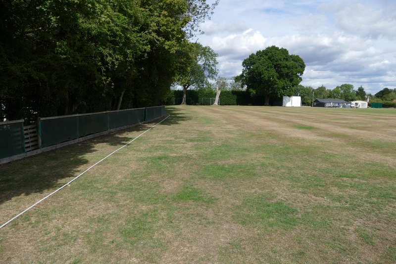
The path continuing past the sports field
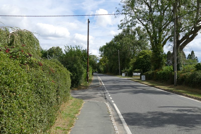
The road through Bledlow Ridge
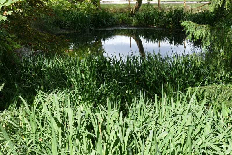
Pond in Bledlow Ridge
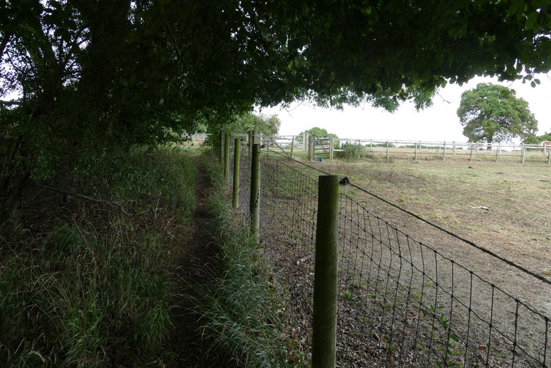
Just after a bus stop, I turned left down Scrubbs Lane (marked as an 'other route with public access' on the OS map) which led to a couple of houses. A path continued along a track past them, then entered a large sheep pasture and continued downhill alongside a hedgerow on my right - there was a nice view ahead here, over the valley in front of me and over the gap between Slough Hill and the start of the ridge leading to West Wycombe Hill, to the far side of the next valley.
Scrubbs Lane
View left from the path descending from Bledlow Ridge
The path descending from Bledlow Ridge
The path descending from Bledlow Ridge