Pete's Walks- Bradenham and Studley Green (page 4 of 4)
If you are considering walking this route yourself, please see my disclaimer. You may also like to see these notes about the maps and GPX files.
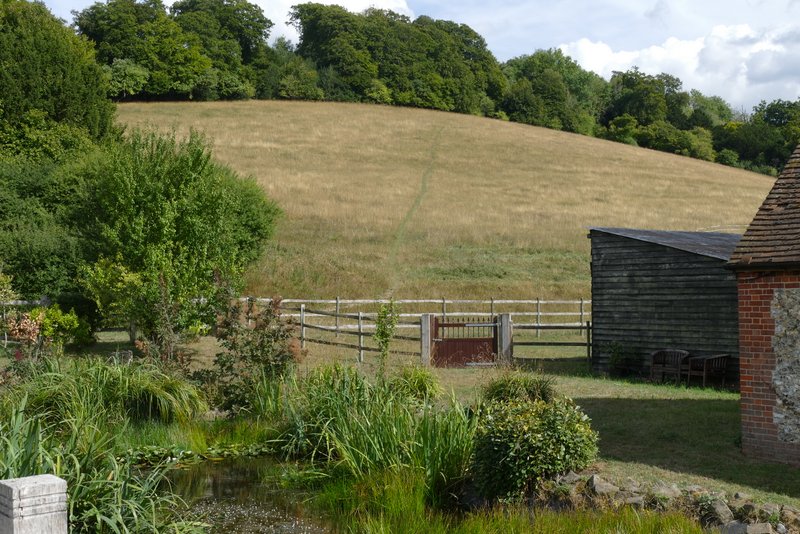
The path brought me down to Slough Lane, where I turned left (I'd crossed this lane earlier, shortly after leaving Hearnton Wood). The lane almost immediately turned right, and after passing an impressive farmhouse on my right I turned right onto a footpath. This climbed diagonally across a field sloping steeply uphill. Again I was struggling a bit for breath as I made my way up here (I'm not fully fit and very overweight). In the top corner of the field the path entered Allnutt's Wood, and soon levelled out. After a short distance the path brought me to the drive to Nobles Farm (about half a mile to my right - the drive is the continuation of the footpath I'd crossed in Hearnton Wood earlier on this walk). Across the drive the path continued through Allnutt's Wood, now descending gently at an easy angle across the hillside.
Looking ahead to the path going up to Allnutt's Wood
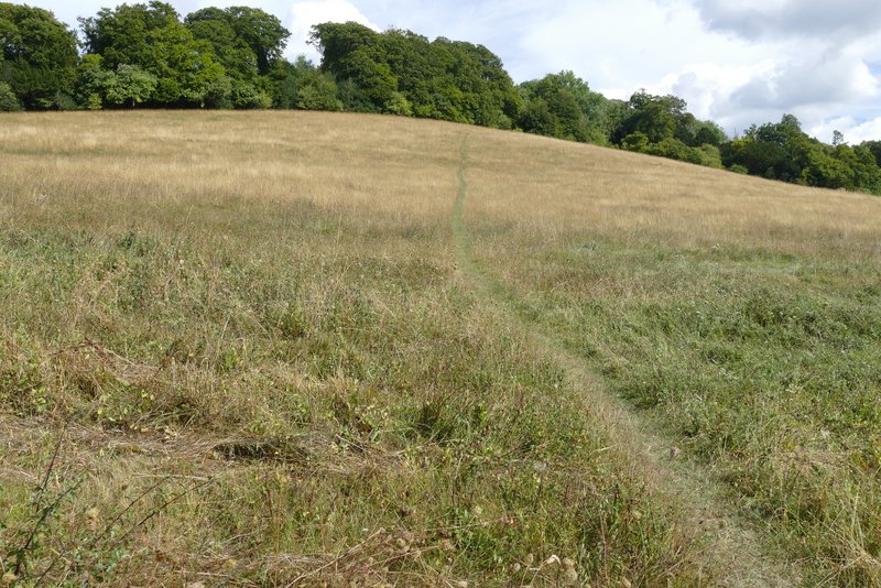
The path going up to Allnutt's Wood
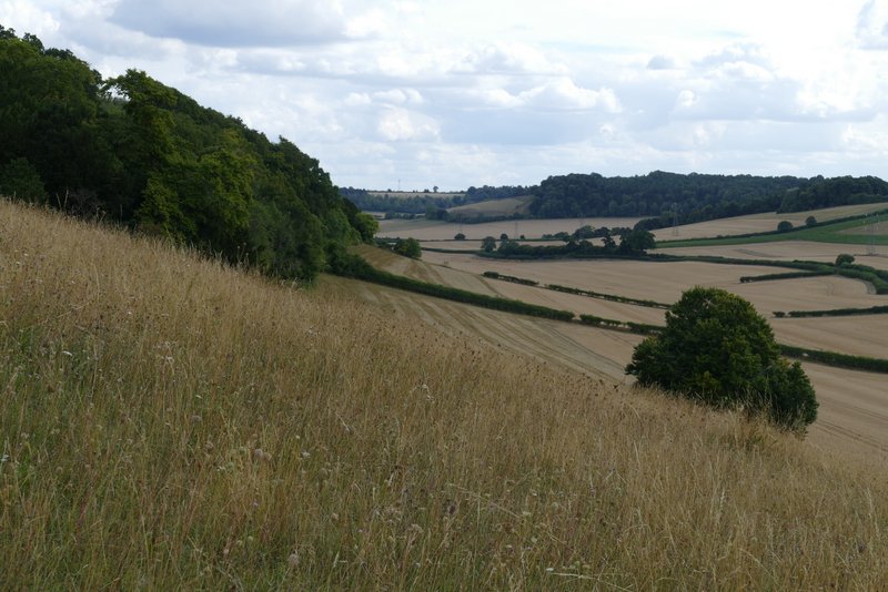
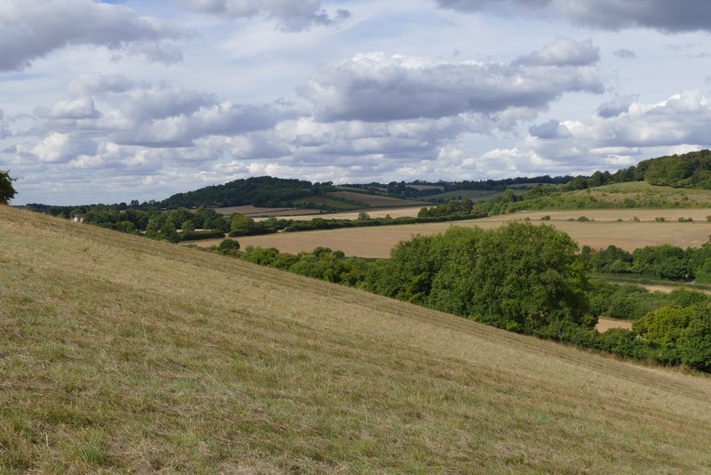
View right from the climb to Allnutt's Wood
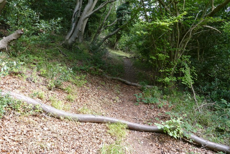
The path just after entering Allnutt's Wood
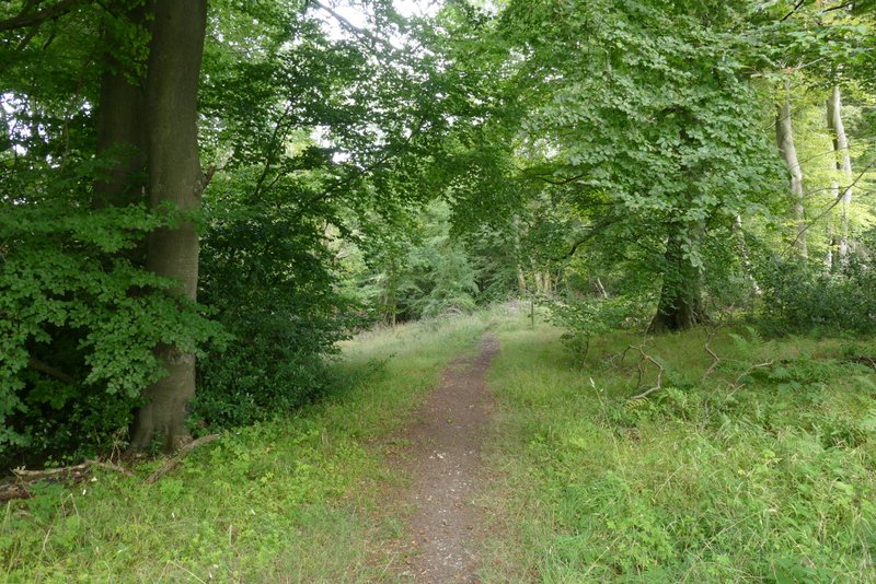
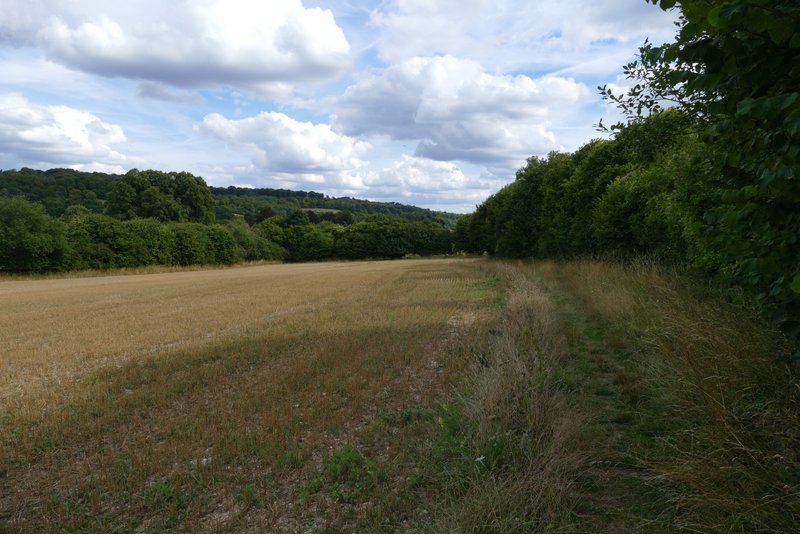
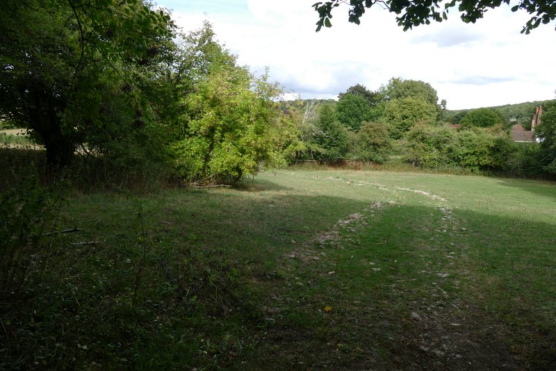
The path through Allnutt's Wood, just after crossing the drive to Nobles Farm
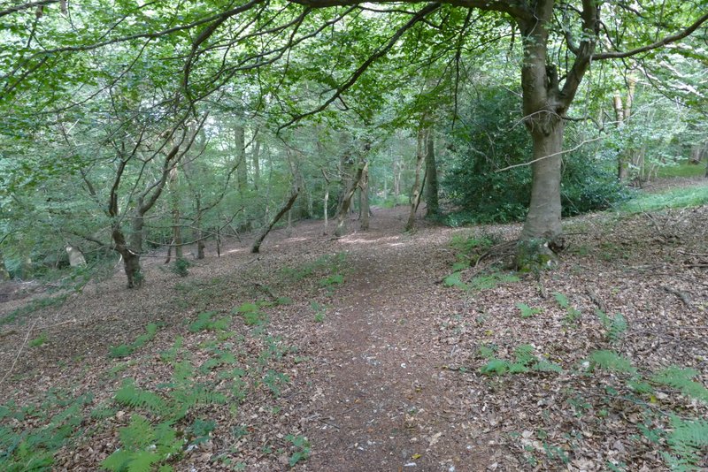
The path through Allnutt's Wood
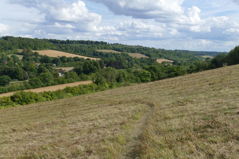
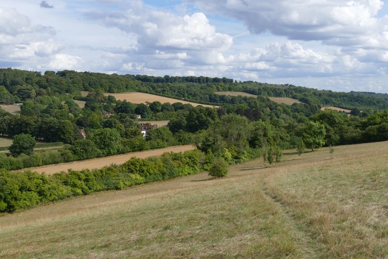
Beyond the wood, the path continued in the same direction and at the same easy gradient downhill, now passing through a large uncultivated field of long grass. There was a nice view ahead of me, towards Bradenham and along a valley. Beyond this field, the path went through a hedgerow and turned right, following the hedge to a gate in the next corner. Through the gate the path went left through the end of a large field (empty today but it sometimes has horses in it). The path then went under a railway bridge, and finally crossed an empty field to reach the A4010, almost opposite the Red Lion pub at Bradenham. I crossed over and went down the lane into the village. When I reached Old Rectory Lane on the right, I turned down it and then turned left, following the track beside the green back to the car park where I'd started.
The path continuing from Allnutt's Wood
The path continuing from Allnutt's Wood
View left from the path continuing from Allnutt's Wood
The path continuing from Allnutt's Wood
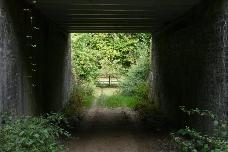
The path continuing under the railway
The path approaching the A4010 at Bradenham
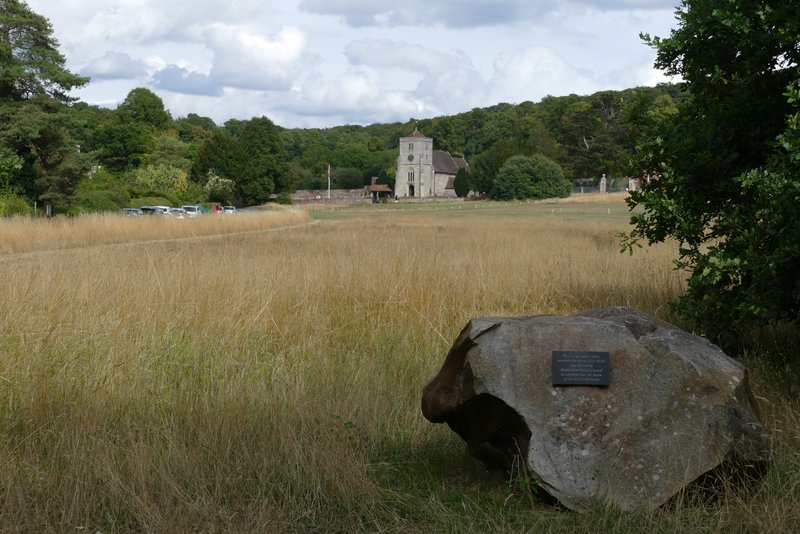
The green at Bradenham - the plaque says the stone is a Sarsen stone, dug up locally and placed here to commemorate the start of the Third Millennium
When I first walked this route in 2015 it took me three and a quarter hours, today it took me about 25 minutes longer, which I guess isn't too bad considering I'm not fully fit (and I did take 26 more photos than I did then). It was an exceptionally hilly route, six ups and downs in only eight miles and four of the uphill sections were quite long and/or steep by the standards of the Chilterns. I thoroughly enjoyed the walk, as I did in 2015, it's certainly one of the very best walks of 7-9 miles that I've done in the Chilterns - there were some really nice views, to which my photos don't really do justice.