Pete's Walks- Redland End and Bryant's Bottom (page 1 of 5)
If you are considering walking this route yourself, please see my disclaimer. You may also like to see these notes about the maps and GPX files.
I did this circular walk of about 7.9 miles on Saturday, 3rd September 2022. It was a repeat of a route I first walked in April 2015, with a small variation near Upper North Dean (shown as 'Alternative 1' on my Google map) which avoids a potentially dangerous short road walk.
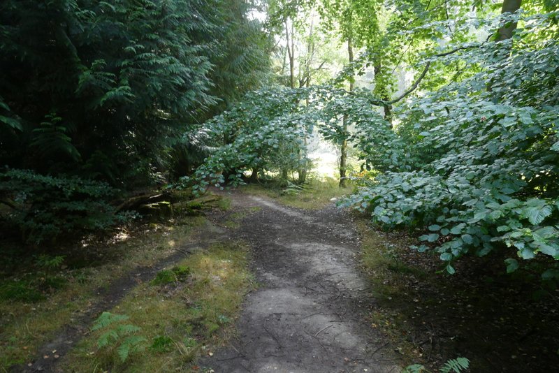
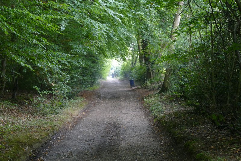
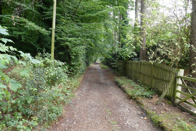
I parked in the remote hamlet of Redland End, where a footpath crosses a lane at Grid Reference SP 834021. I was very pleased to see that the small off-road area where I parked had been gravelled over (as had two other nearby unofficial parking areas, I would find out later) because this used to be very muddy in winter months and I'd always get my clean shoes very muddy when changing out of my walking boots at the end of a walk. I started walking about 10.50am, going over a stile and following a footpath along a grassy strip with mainly conifers either side, where I immediately spotted a Speckled Wood butterfly. The path soon led to a lane, where I turned right and immediately came to a junction. On the other side of it, a footpath sign indicated the way I wanted to continue, along a surfaced drive through woods towards Coppice House (the house name on the gates confirmed I was on the right path).
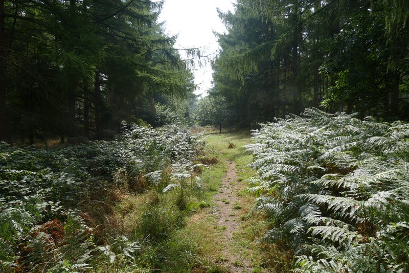
The path from Redland End
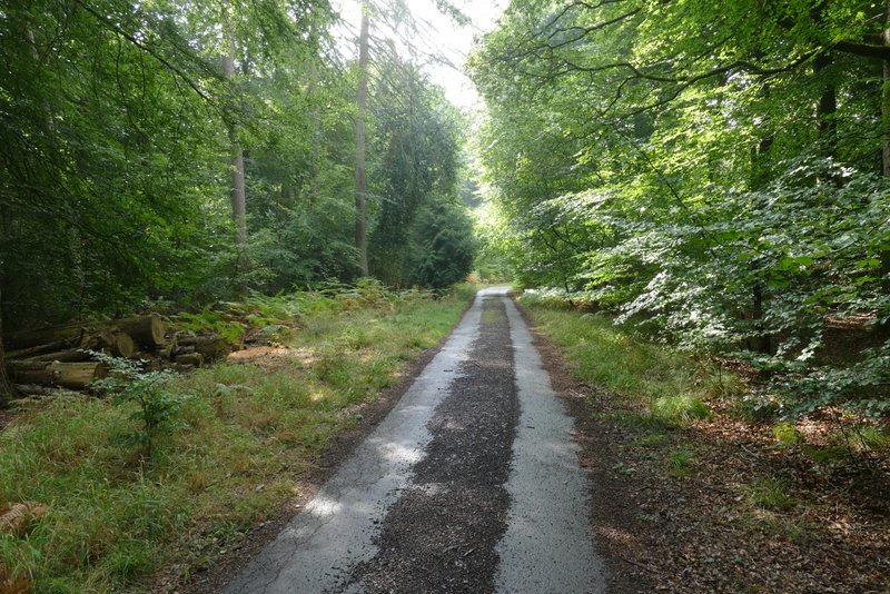
The drive to Coppice House
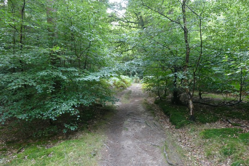
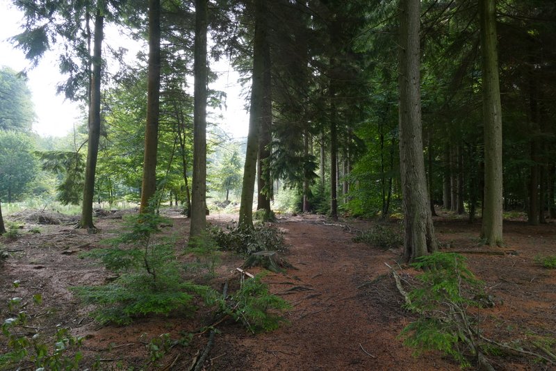
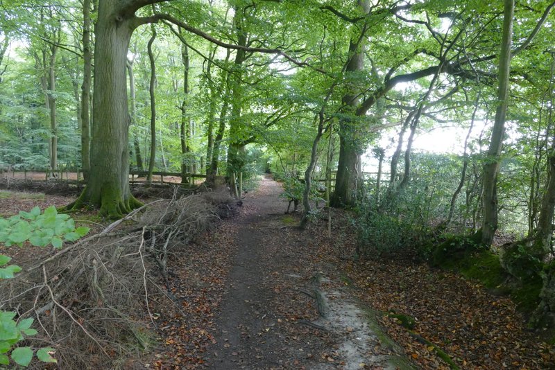
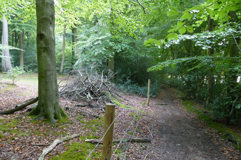
After a few hundred yards, a little before the drive reaches Coppice House, a footpath crosses the drive. I turned left here, but then immediately turned half-right at a path junction (so I'd effectively gone half-left from the drive), heading through Monkton Wood. After a short distance the path appeared to be blocked by a patch of bracken, but a faint path led half-right to a parallel path that I could see. I went a few yards left along that, but then could see the original path had re-appeared over to my left, and was obviously more heavily used, so I switched back to that. After a while this path became blocked again, but a path on the right curved round the obstruction. I then soon reached a grassy track that I remembered from when I'd been here before, where I went a few yards left then took a track going off on the other side. Just a few yards down it, I took a path going off left, or half-left, which I again remembered. I was relieved to pass a yellow "Public footpath" waymark after a hundred yards, and thereafter the path through Monkton Wood was straight forward to follow. It eventually met a path running just inside the southwestern edge of the wood, where I turned left and immediately went straight on over a crossing bridleway (NOTE: this tallies with what the OS map shows, but when I first did this walk in 2015 the path ended on the bridleway, where I had to go a short way right and then turn left onto the path running just inside the wood).
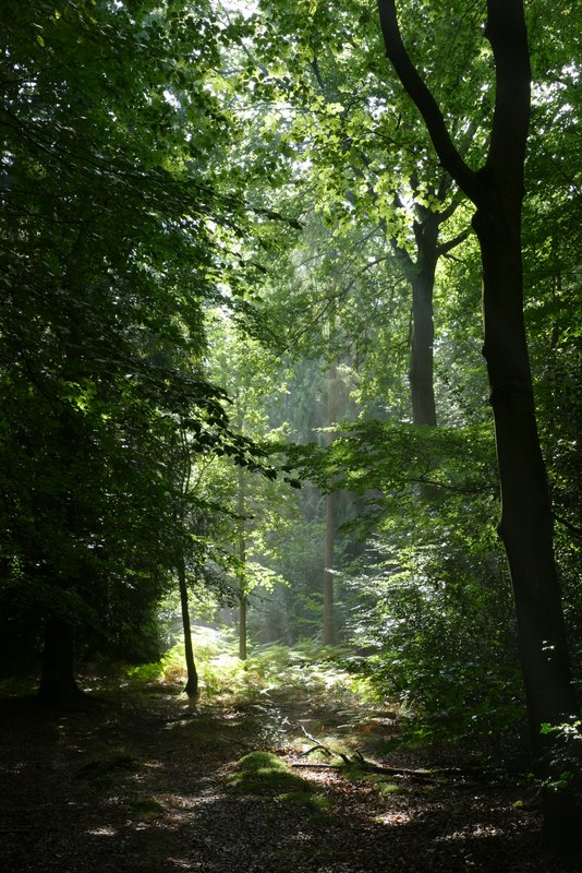
The path through Monkton Wood
The path through Monkton Wood
The path through Monkton Wood
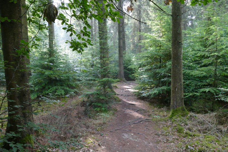
The path through Monkton Wood
The path through Monkton Wood
The path through Monkton Wood
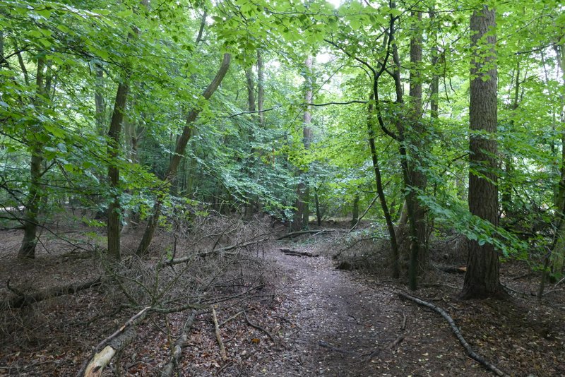
The footpath along the southwestern edge of Monkton Wood, approaching where it is crossed by a bridleway
This path was quite pleasant, with the wood extending to my left and fields just to my right. About a third of a mile after the bridleway crossing, the path led to a short gravel drive and then to a road on the edge of the village of Speen. I crossed over and continued along a bridleway following a track or drive, with College Plantation on my left and garden boundaries on my right.
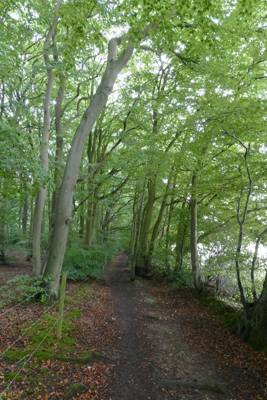
The footpath along the south-western edge of Monkton Wood
The footpath along the south-western edge of Monkton Wood
Near the end of the footpath along the south-western edge of Monkton Wood - despite recent rain the duck pond is totally dry
The bridleway on the edge of Speen, next to College Plantation
The bridleway on the edge of Speen, next to College Plantation