Pete's Walks - Gaddesden Row and Briden's Camp (page 1 of 3)
If you are considering walking this route yourself, please see my disclaimer. You may also like to see these notes about the maps and GPX files.
(I used Alternative 1 as shown on the map)
I did this circular walk of about 9.5 miles on Saturday, 17th September 2022. It was a repeat of a walk I've done a few times before, from Gaddesden Row to Briden's Camp and back (it uses Alternative 1 on my Google map).
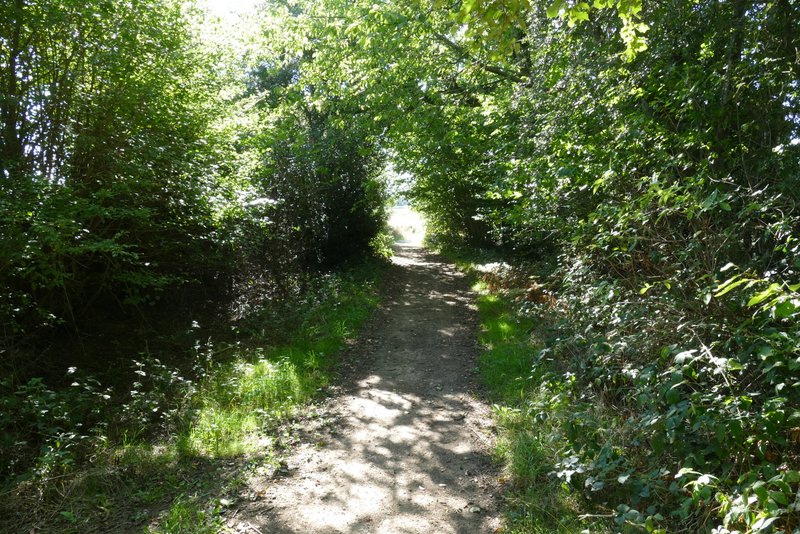
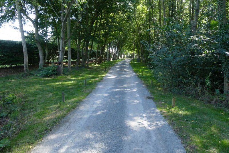
I parked on the road in Jockey End (the main settlement of Gaddesden Row) by the entrance to a small playground (immediately after the last house on the left, heading southwest towards Hemel Hempstead - grid reference TL 042137). I started walking about 11.05am, taking the footpath through the playground which continued on past some houses and garages on my left, and then dropped downhill to reach a tree lined track named Dean Lane. I turned right here, and followed the track for a few hundred yards until it reached a road.
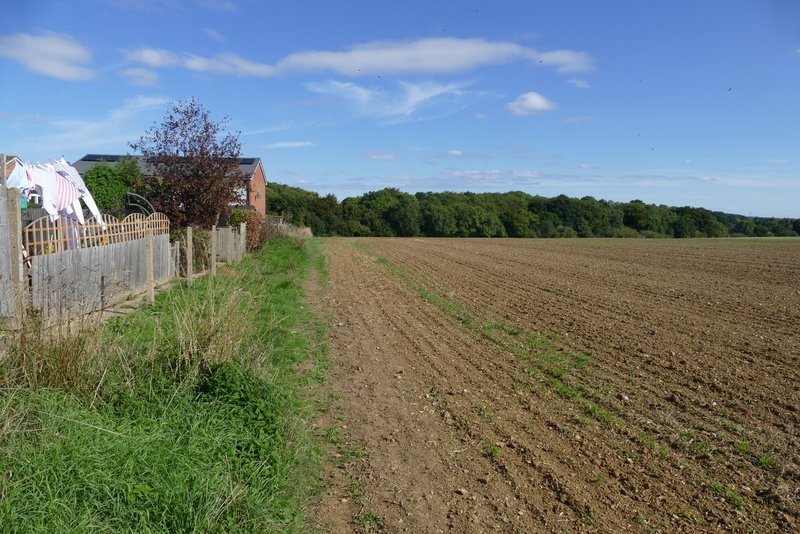
The start of the path from Jockey End
The path from Jockey End
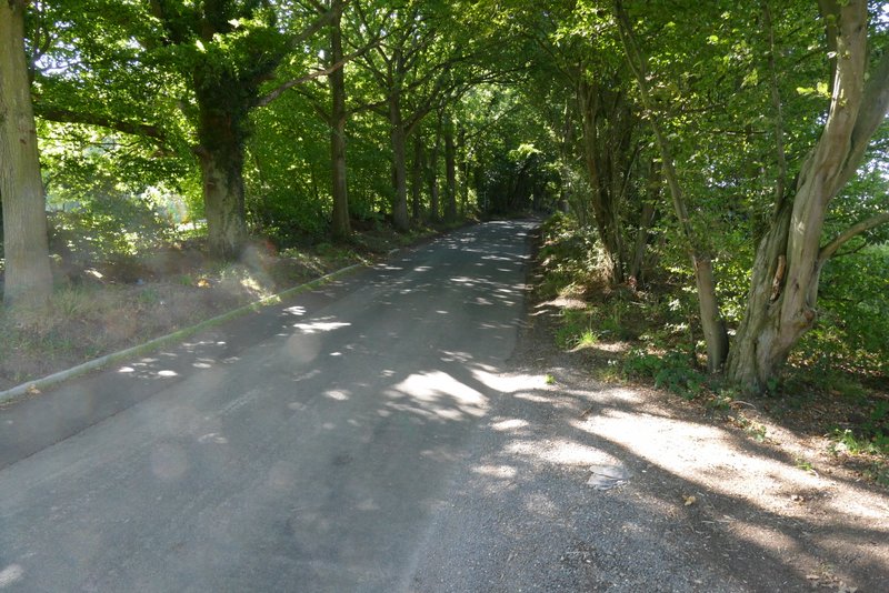
Dean Lane
Dean Lane
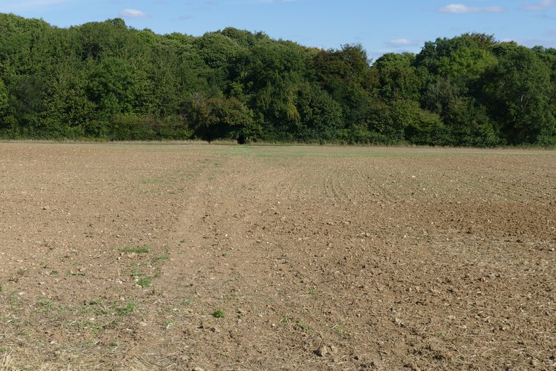
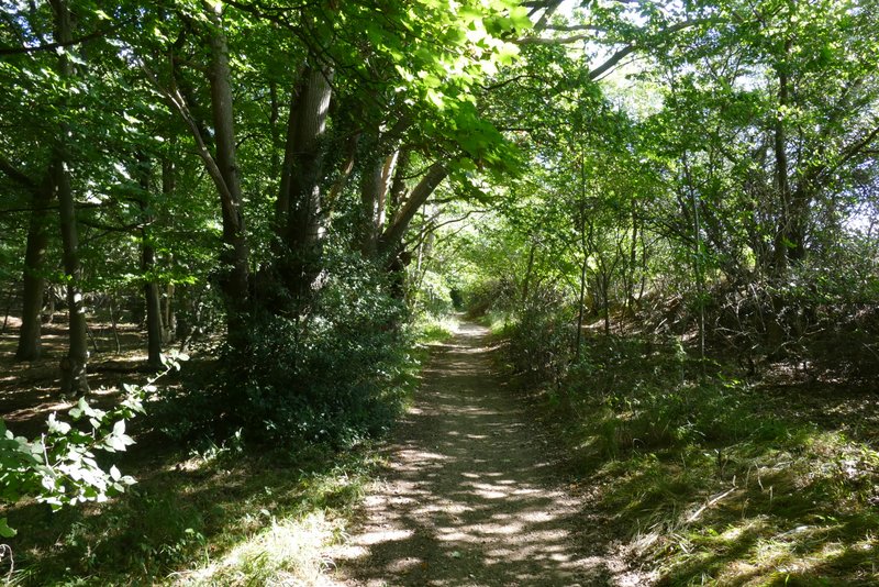
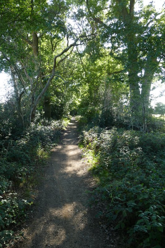
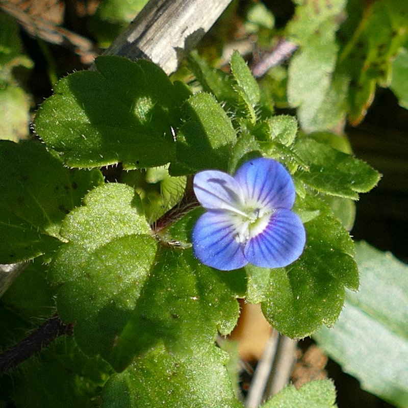
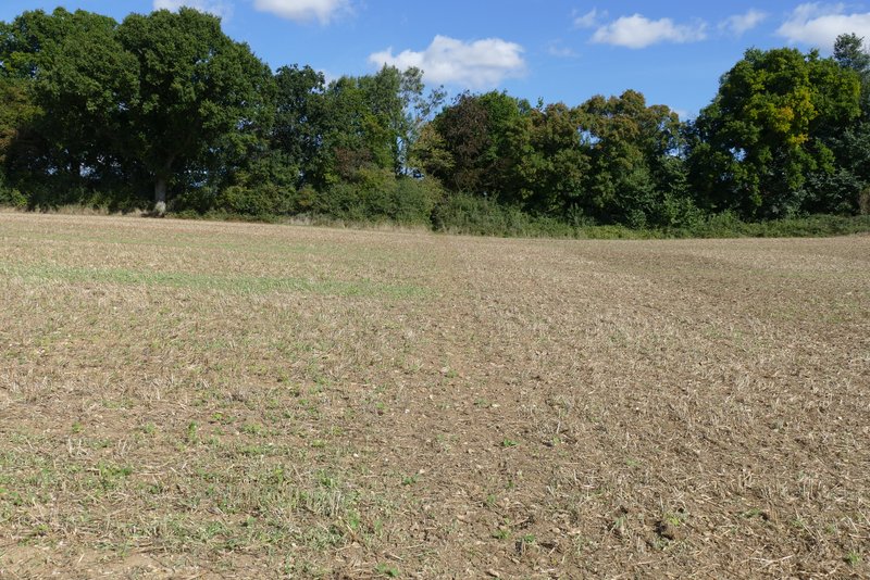
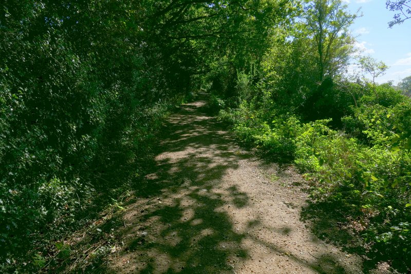
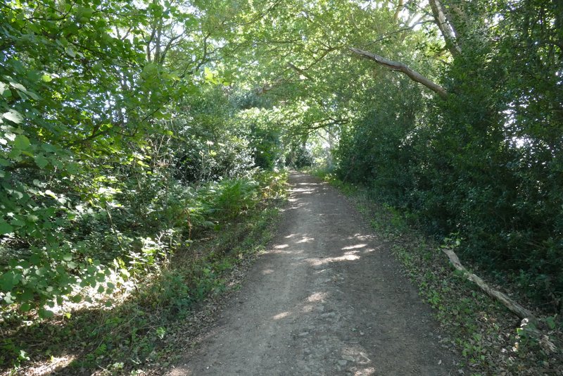
I crossed the road and continued gently uphill along a byway through Babies Wood. Beyond the wood the byway flattened out and ran between hedges with several mature trees - I met a couple of young horse riders coming the other way along here. The byway continued beside Newland's Wood on my left, and then at the end of this wood continued between old hedges again. I soon came to a point where the byway turned half-right (to shortly end by Gaddesden Row School), but I took a footpath going left (I'd passed another path going left shortly before this) that followed a hedgerow on the left (there is a permissive footpath on the other side of the hedge). I spotted a female Common Blue butterfly and some Common Field Speedwell along here. On reaching a minor road, I went a short way to the right, and then turned left along a bridleway, initially with Teakettle Wood on my right. On reaching Upper Wood Farm, I turned left on a path that soon reached a gate and continued slightly downhill through a paddock (keeping just left of a line of telegraph poles). The path then crossed a field to reach a corner of Puddephat's Lane.
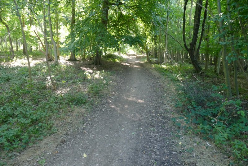
Babies Wood
The byway continuing from Babies Wood towards Newland's Wood
Approaching Newland's Wood
The byway passing Newland's Wood
The byway just before the path junction where I turned left
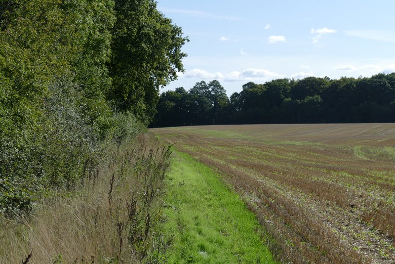
The public footpath after I turned left from the byway (here is a permissive bridleway on the other side of the hedge), heading towards the minor road
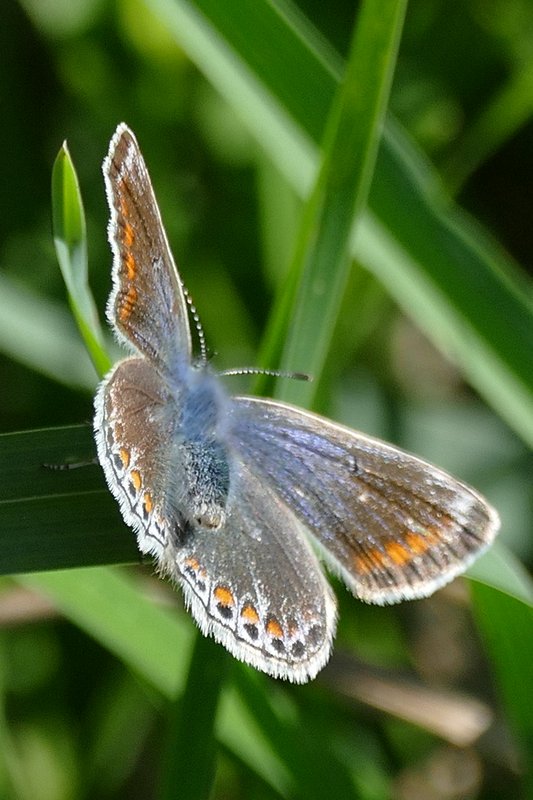
Common Blue (female)
The minor road
The bridleway to Upper Wood Farm
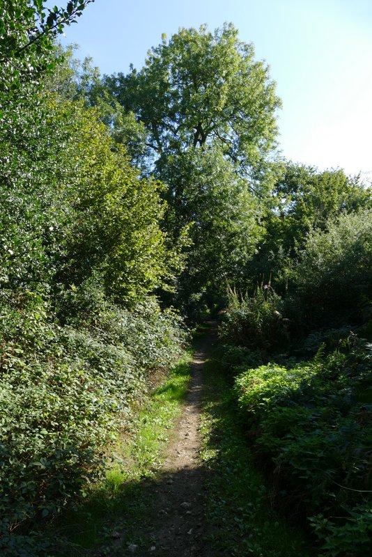
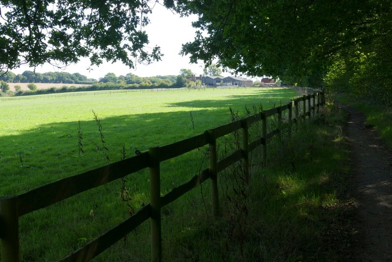
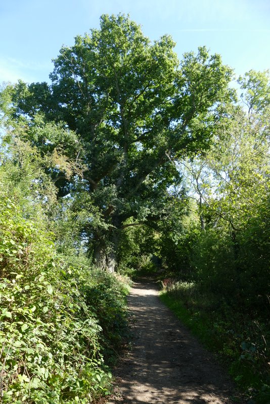
The start of the path from Upper Wood Farm to Puddephat's Lane
The path from Upper Wood Farm to Puddephat's Lane
The path from Upper Wood Farm to Puddephat's Lane
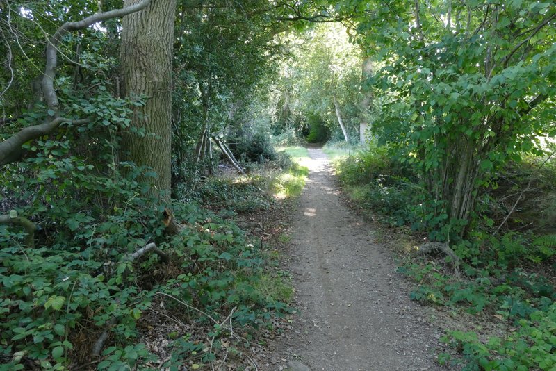
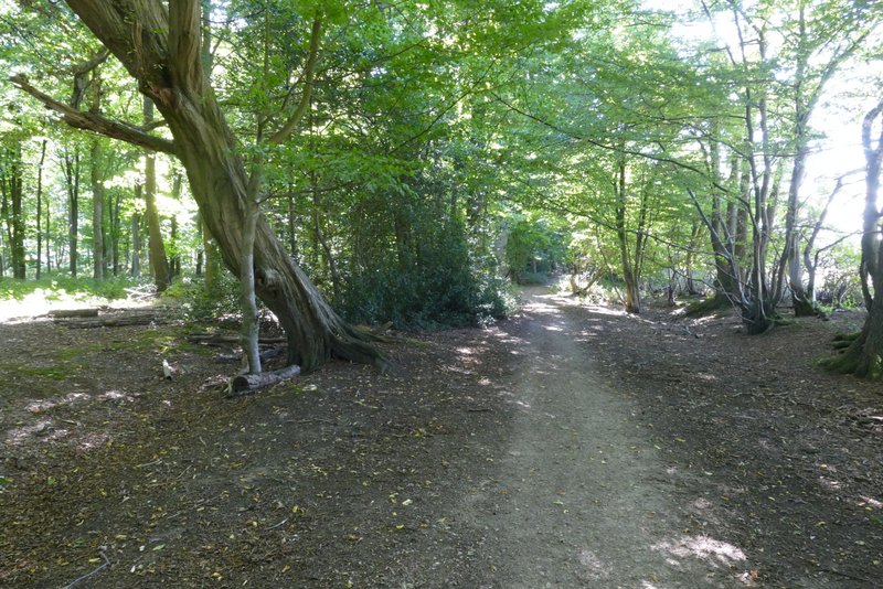
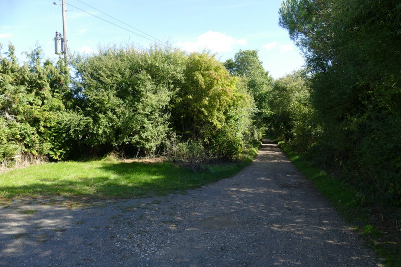
I turned right along another byway here, immediately passing Puddephat's Farm on my left. The byway continued between hedges and after a few hundred yards turned left. Further on the byway turned right, and after another few hundred yards turned left again, passing a property named Nirvana and continuing along its drive to reach Green Lane.
The start of the byway from Puddephat's Lane to Nirvana
The byway from Puddephat's Lane to Nirvana
The byway from Puddephat's Lane to Nirvana
The byway from Puddephat's Lane to Nirvana, after it turns right
The drive from Nirvana