Pete's Walks - Cowleaze Wood, Aston Rowant, Stokenchurch (page 1 of 3)
If you are considering walking this route yourself, please see my disclaimer. You may also like to see these notes about the maps and GPX files.
NOTE (6/11/2025): Parking at Cowleaze Wood is no longer free, there is now a cashless payment system. To see details, click here and then click on the 'Parking and prices' tab.
I did this circular walk of about 5.4 miles on Saturday, 12th November 2022. It was a new route for me, though it was basically a shortened version of a walk I did in July 2022 but in the opposite (clockwise) direction. Many of the paths I was walking in the clockwise direction for the first time, and there was one path I'd never walked before. I struggled for a name for this walk before settling on "Cowleaze Wood, Aston Rowant, Stokenchurch" - it doesn't really enter either Aston Rowant or Stokenchurch, but goes close to them.
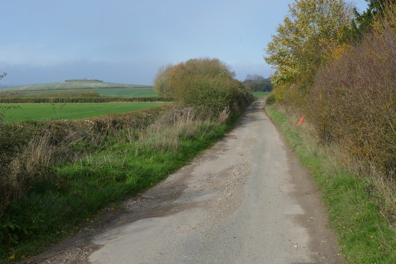
I parked in the large car park at Cowleaze Wood (Grid Reference SU 726956) and started walking about 10.45am. I walked through the car park with the road to my left until I reached an information board, where I crossed the road, went through a gate and turned right along a bridleway through part of Aston Rowant nature reserve. There are normally views out to the Oxfordshire Plain at the foot of the Chilterns from here, but unfortunately today they were lost in the fog that shrouded the hills. The path crossed a track (Hill Road) and continued on, parallel to the road on my right. After three or four hundred yards I turned left through a gate, and followed a footpath that was soon descending gently down Linkey Down - I could barely see the short valley on my left, let alone the flat lands ahead of me. At the foot of Linkey Down the path continued beside a hedge on the right, to reach Hill Road near Hill Farm (where it becomes a surfaced lane).
The start of the path across the road from the Cowleaze Wood, in part of Aston Rowant nature reserve. The path runs parallel to the road.
The path continuing parallel to the road
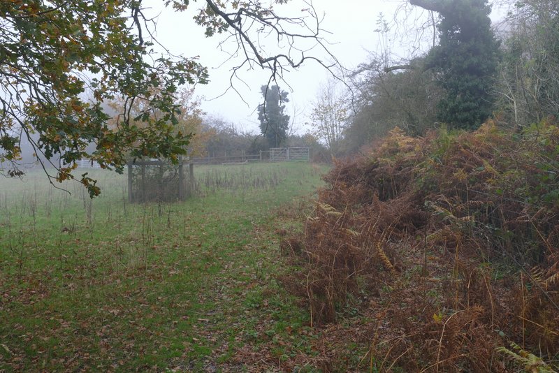
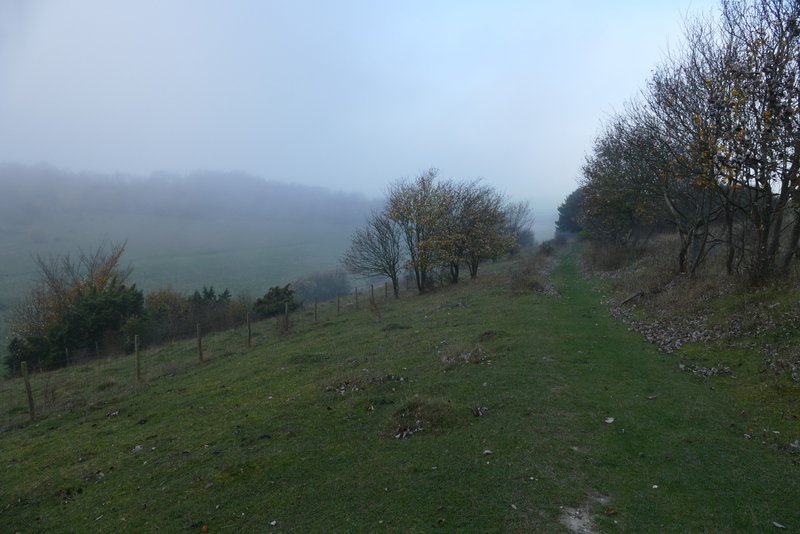
The path after it turns left through a gate - the fog is obscuring the fine view out over the Oxfordshire Plain at the foot of the Chilterns
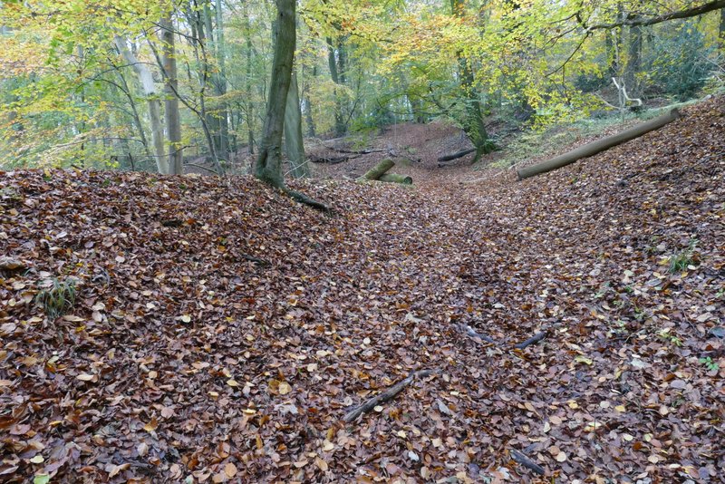
The path now descending Linkey Down
The path descending Linkey Down
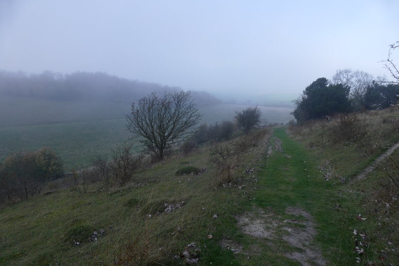
The path descending Linkey Down
The path descending Linkey Down
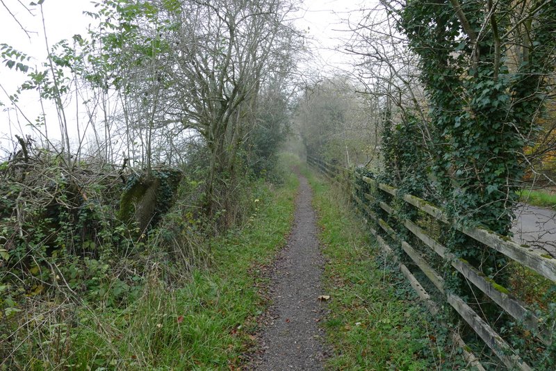
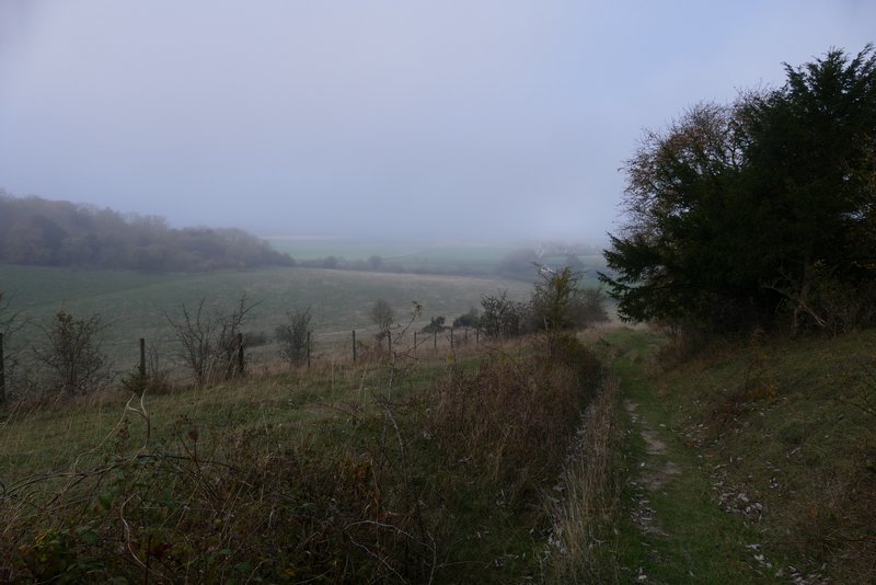
The path continuing from the foot of Linkey Down, approaching Hill Farm
I continued down the lane for a hundred yards or so, then turned right onto the Ridgeway national trail (here a very broad track). I soon passed under the M40 motorway, and carried on along the Ridgeway for about another half a mile. When I reached an entrance to the Aston Rowant nature reserve on my right (by an information board), I took a footpath starting on that side, initially with a wooden fence to my left.
Hill Road
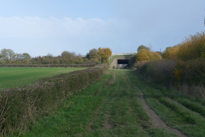
The Ridgeway national trail, approaching the M40
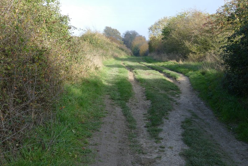
The Ridgeway
The Ridgeway
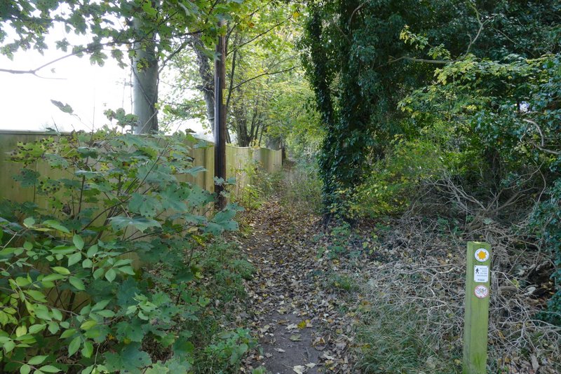
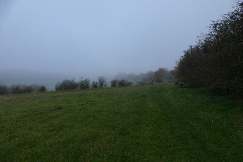
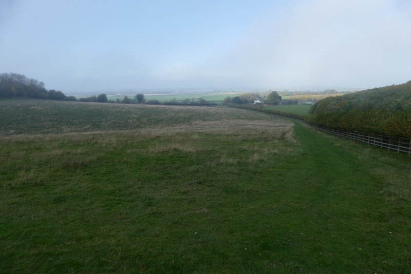
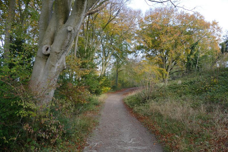
The start of the long footpath uphill through the northeastern edge of Aston Rowant nature reserve
The footpath ran along the northeastern edge of the nature reserve, gradually rising uphill through a wood (not named on the OS map). When I came down this path on my walk in July this year, I remember thinking that it went on for a very long way and was a bit surprised that looking on the map it was only about three-quarters of a mile. I wasn't particularly looking forward to this long uphill stretch, but it was never very steep (though I always knew it was uphill!) and the path didn't seem quite as long as I'd remembered. At the top of the slope the footpath turned right (where a permissive path went left) and soon came to a small parking area and the main drive into the Aston Rowant nature reserve.
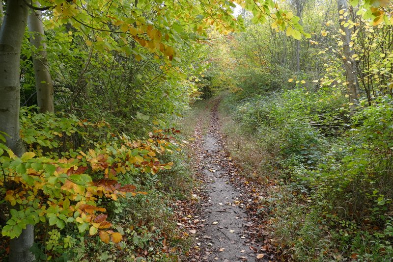
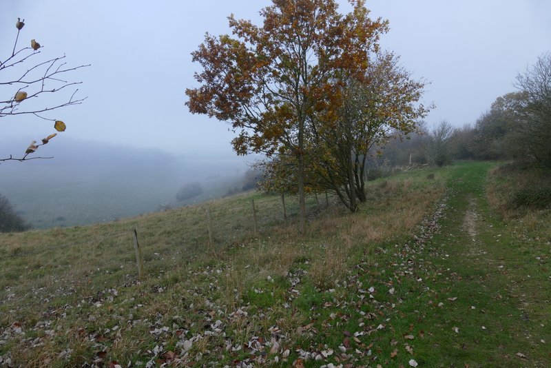
The long footpath uphill through the northeastern edge of Aston Rowant nature reserve
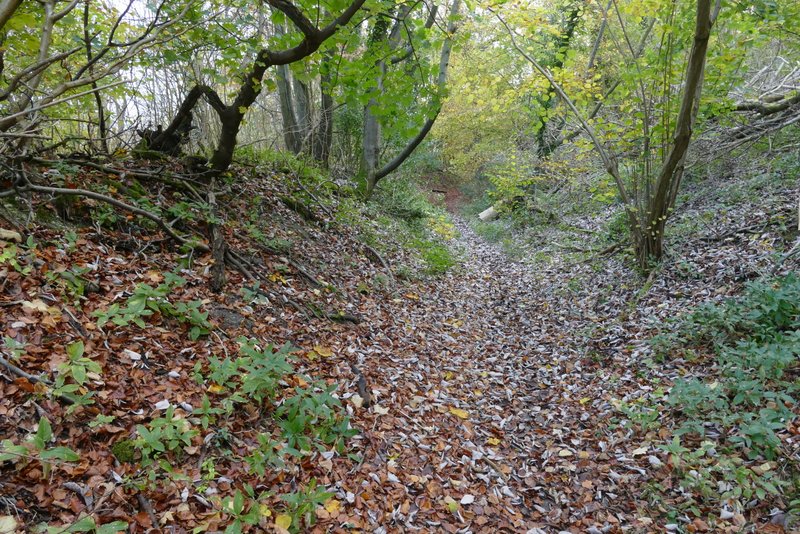
The long footpath uphill through the northeastern edge of Aston Rowant nature reserve
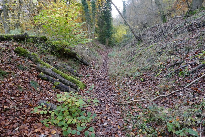
The long footpath uphill through the northeastern edge of Aston Rowant nature reserve
The long footpath uphill through the northeastern edge of Aston Rowant nature reserve
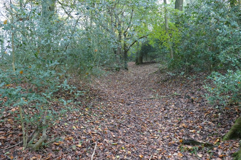
The long footpath uphill through the northeastern edge of Aston Rowant nature reserve