Pete's Walks - Cowleaze Wood, Aston Rowant, Stokenchurch (page 2 of 3)
If you are considering walking this route yourself, please see my disclaimer. You may also like to see these notes about the maps and GPX files.
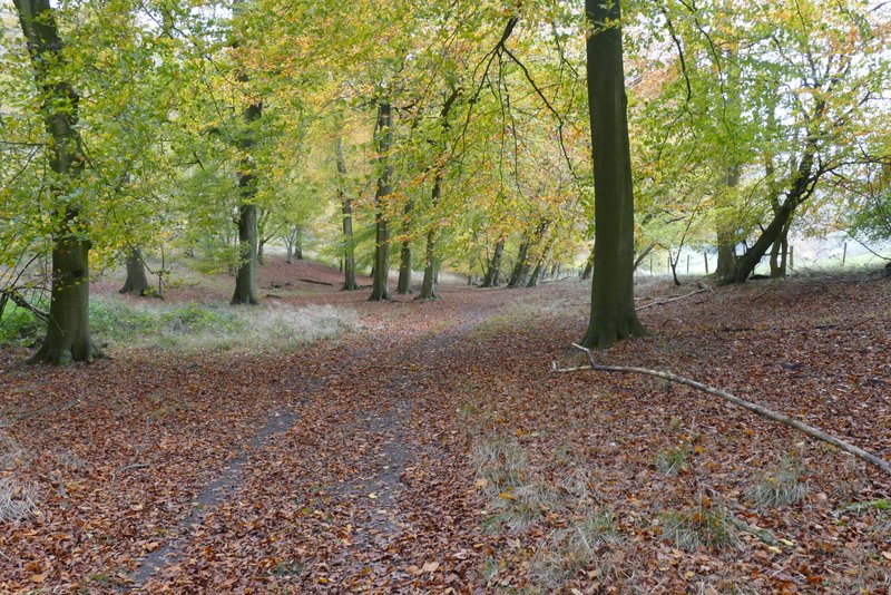
I turned left along the drive, following it several hundred yards until it curved left, where I took a footpath on the right that quickly brought me to a flight of concrete steps leading down to a road (the same one that passes Cowleaze Wood). I followed the road to the right, and soon crossed over the M40. At the end of a safety barrier on the left I took a bridleway that headed back along the other side of the barrier for about a hundred yards before veering right into Hailey Wood (so I could have saved myself two hundred yards of walking by stepping over the barrier at this point, if I'd wanted to). The bridleway soon followed a fence on the left for a while, before turning right along a clear track. Despite the still misty and grey conditions, the beech trees still looked fine in their autumn colours.
The drive heading out of the Aston Rowant nature reserve
The short path between the drive and the road, after I turned right
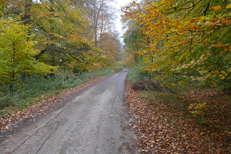
The road (the same one that passes Cowleaze Wood), heading towards the M40 bridge
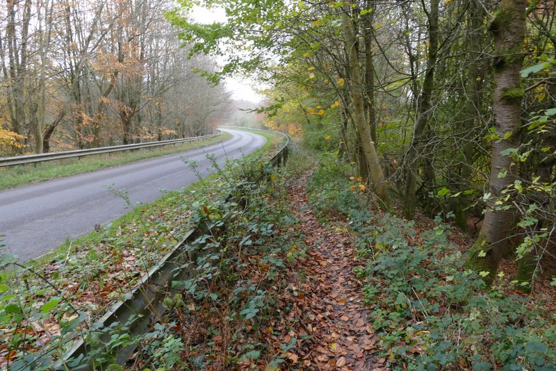
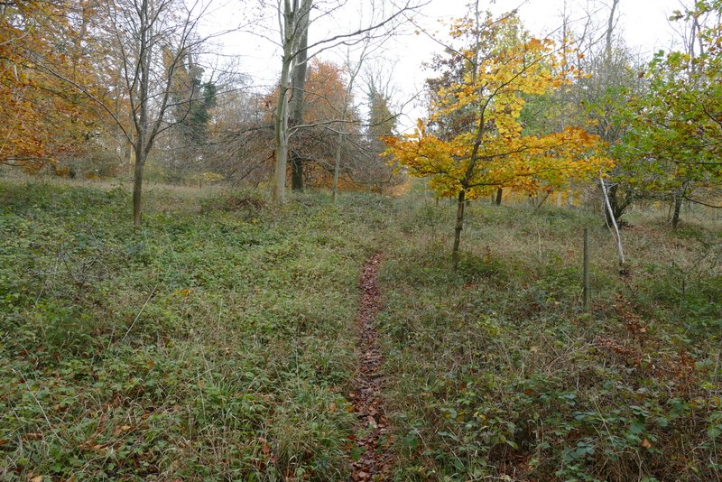
The bridleway starting behind the safety barrier
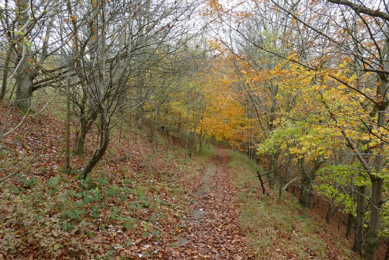
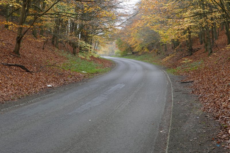
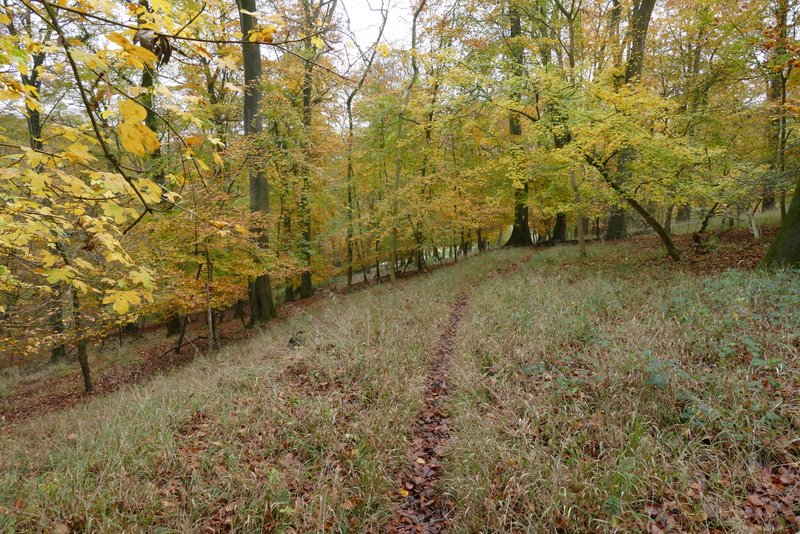
The bridleway continuing through Hailey Wood
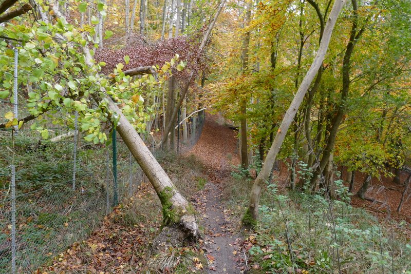
The bridleway continuing through Hailey Wood
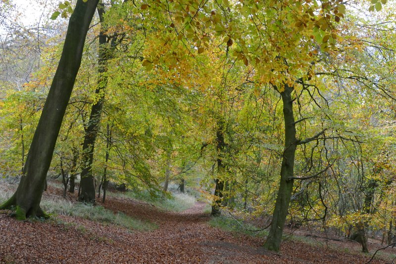
The bridleway continuing through Hailey Wood
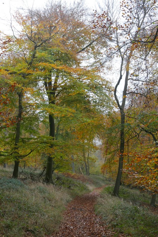
The bridleway continuing through Hailey Wood
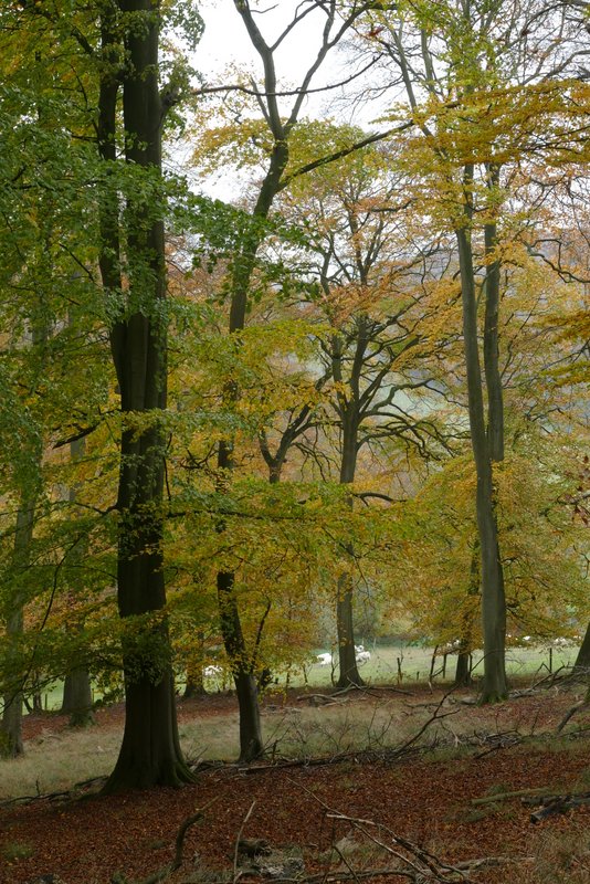
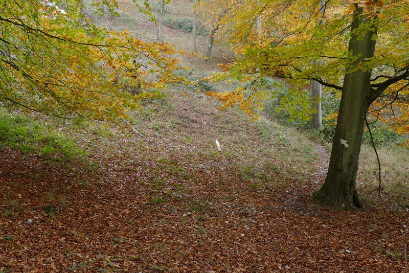
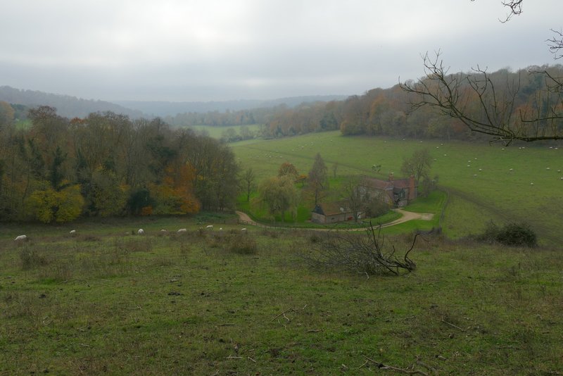
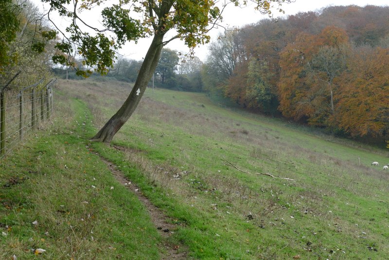
After a quarter of a mile or so I took a footpath going left, as usual indicated by white arrows on trees. This path soon turned half-right and began to gently descend through the trees into a valley. It eventually turned half-left to drop more steeply down the final few yards to the valley bottom. It turned right along the valley bottom, then turned left and rose up the other side of the valley. This was quite steep at first, but part way up the slope the path turned half-right to continue uphill at a gentler angle. The path left the woods at a stile that brought me into a large sheep pasture, with a fine view along the valley ahead of me. The footpath now followed the edge of the pasture, with North Remlets Wood to my left, before going half-right across the pasture (passing close to a telegraph pole - sorry, apparently they're called utility poles nowadays!) to a stile near a corner of the field.
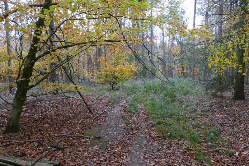
The path after I turned left from the bridleway, heading east
Further along that path - Hailey Wood is to the left, Langleygreen Plantation to the right
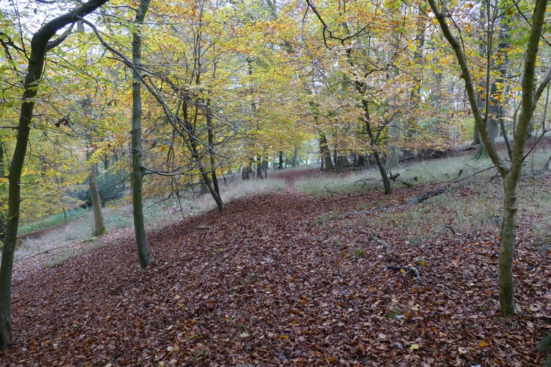
Further along that path
Further along that path, now gradually descending into a valley
Further along that path
The same path now going up the opposite side of the valley
View from the sheep pasture, next to North Remlets Wood, towards the Wormsley Valley
The path continuing through the sheep pasture (it follows the fence for a bit then goes half-right to a stile in the corner)