Pete's Walks - Cholesbury, Ashley Green, Marlin Chapel (page 2 of 3)
If you are considering walking this route yourself, please see my disclaimer. You may also like to see these notes about the maps and GPX files.
Google map of the walkDownload GPX file of the walk
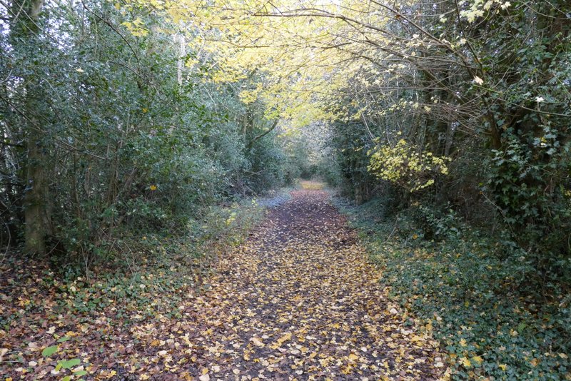
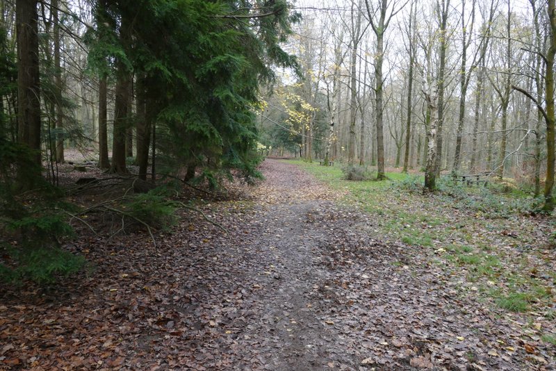
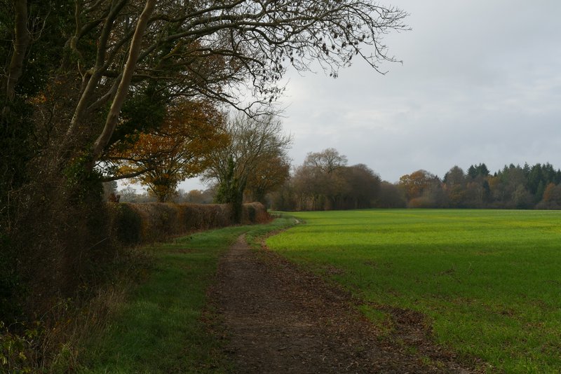
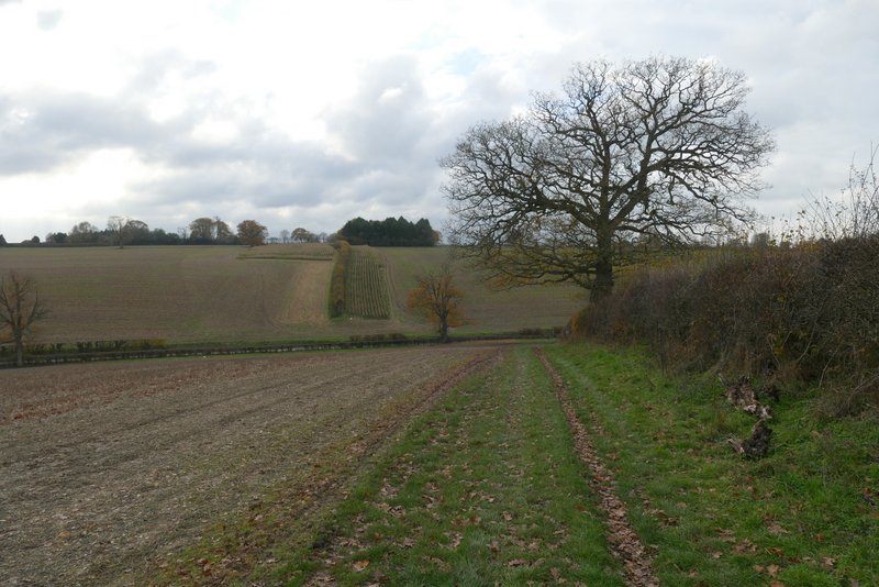
I walked a short distance left along the road through Chesham Vale, before taking a bridleway on the right (starting opposite the Happy Olive pub, formerly the Black Swan). This followed a good track for almost a mile to reach Flamstead Farm, from where the bridleway continued the short distance north to Hog Lane on the western edge of Ashley Green.
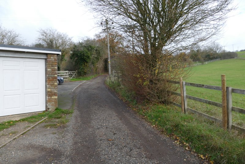
The bridleway to Flamstead Farm
The bridleway to Flamstead Farm
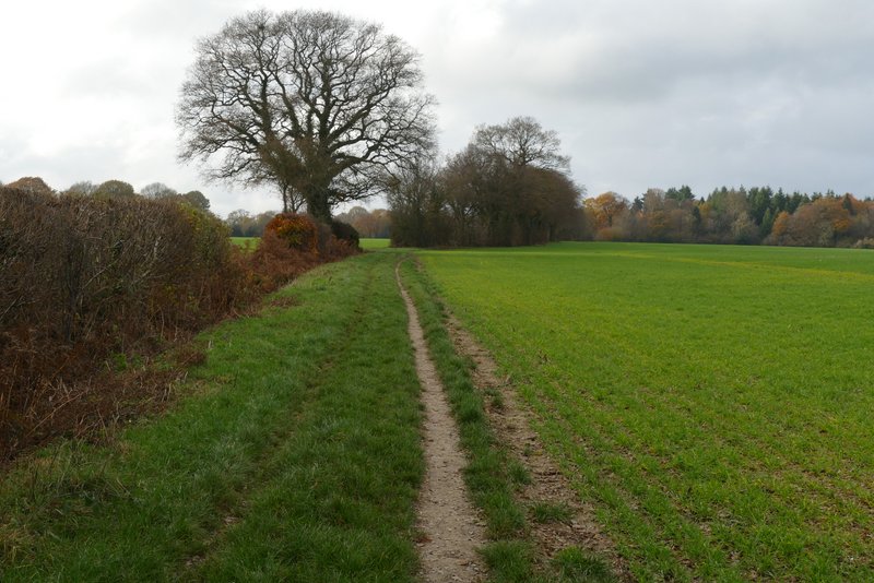
The bridleway to Flamstead Farm
The bridleway passing Flamstead Farm
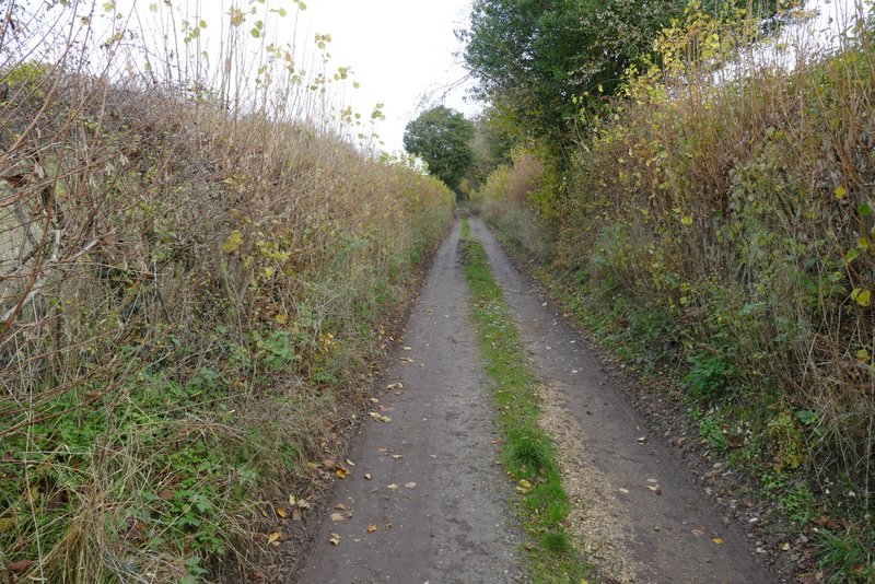
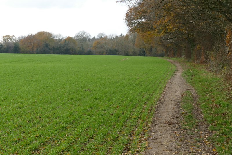
The bridleway continuing from Flamstead Farm to Ashley Green
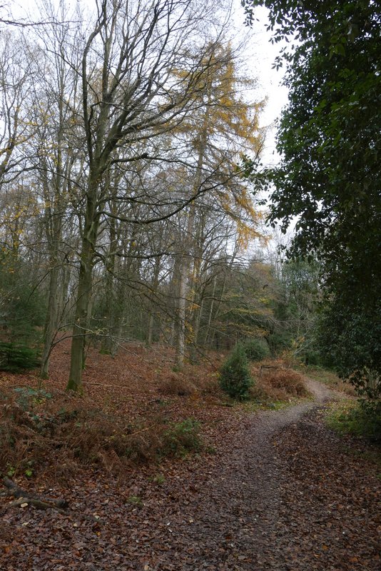
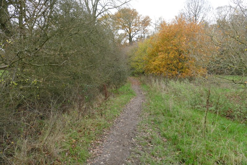
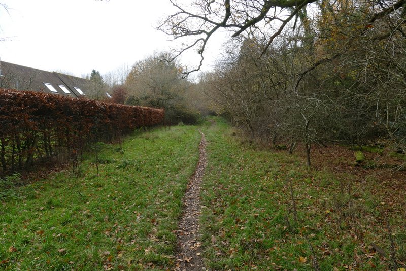
A footpath on the other side soon followed a hedge on my left through a small meadow, then switched to the left of the hedgerow and started to drop downhill to Hockeridge Wood. When I did this walk in 2011, I struggled to follow the public footpath that goes through the wood, because apart from at the entrance to the wood, I didn't see any footpath signs at the numerous path junctions. So today I just went straight on along a broad path and kept straight on at every junction. I was a little worried when it went slightly right after one junction, but after a while it turned left and I could soon see a valley bottom down to my right (which is what I expected) so I was confident I was going the right way. The path gradually dropped downhill until near the valley bottom it ended at a lane.
The path from Ashley Green to Hockeridge Wood
Approaching Hockeridge Wood
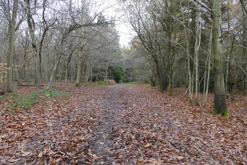
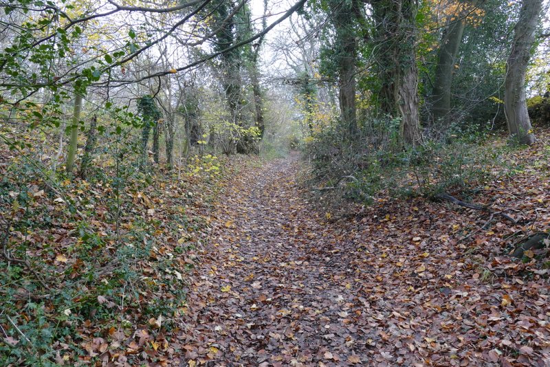
The path through Hockeridge Wood
The path through Hockeridge Wood
The path through Hockeridge Wood
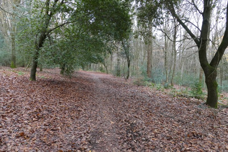
The path through Hockeridge Wood
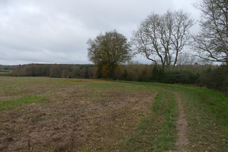
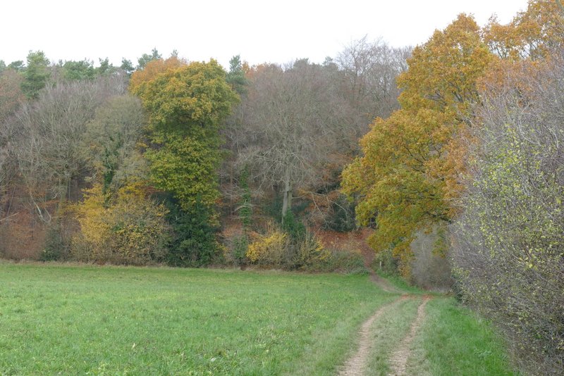
After going right a short distance along the lane, I turned left along a cement farm track, starting beside a lane junction. The track ran parallel to the A41 dual carriageway a few yards to the right (I could hear but not see it). After a few hundred yards, the bridleway turned left (west) following a hedgerow on the left. After a few hundred yards there was a gap in the hedgerow where the bridleway switched to the left of the hedgerow, and then after another few hundred yards it switched back to the right, just before reaching the edge of a wood called Cock Grove.
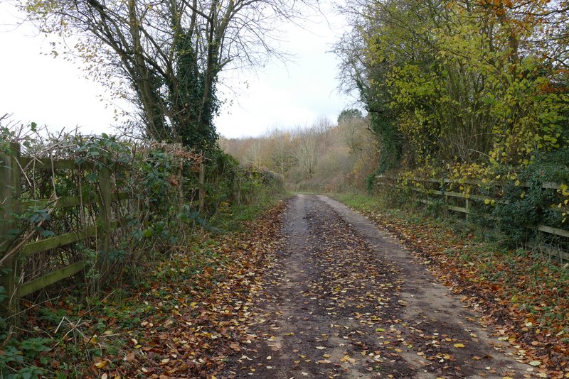
The concrete farm track close to the A41
The bridleway going west, away from the A41, towards Marlin Chapel Farm
The bridleway going west, away from the A41, towards Marlin Chapel Farm
The bridleway going west, away from the A41, towards Marlin Chapel Farm
The bridleway now approaching Cock Grove
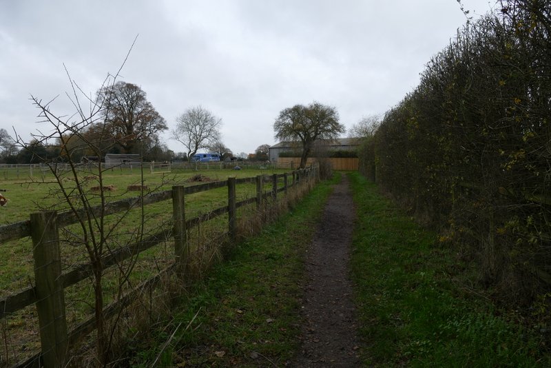
I continued on into the wood, soon passing Marlin Chapel Farm on my left. A footpath then forked slightly right on a path that immediately brought me to the ruins of the 13th century Marlin Chapel, on our left. The path then continued on through the park land surrounding a large house called Rossway, which I could see over on the right. Across a drive to the big house, the path continued along a hedgerow, and soon sloped downhill to reach a minor road.
The bridleway continuing past Marlins Chapel Farm
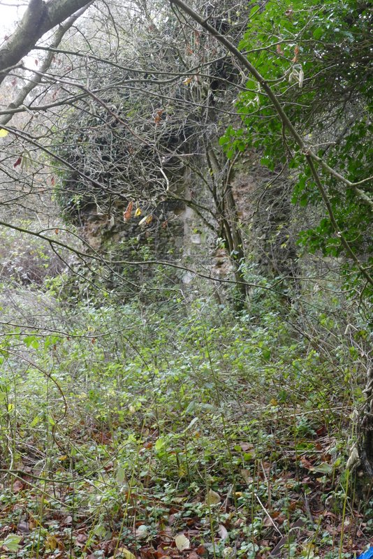
The ruins of Marlins Chapel
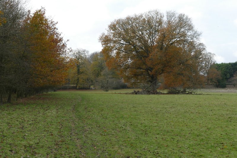
The path through the park land around Rossway
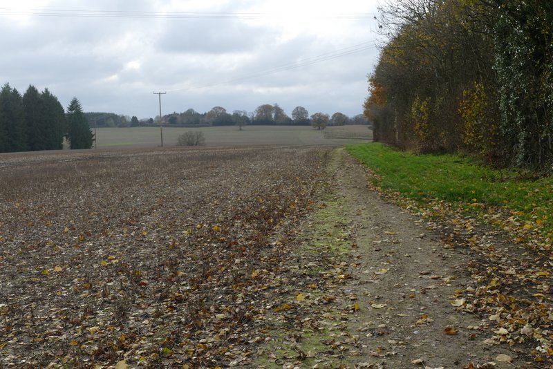
The path going southwest from Rossway towards a minor road
The path going southwest from Rossway towards a minor road