Pete's Walks - Cholesbury, Ashley Green, Marlin Chapel (page 3 of 3)
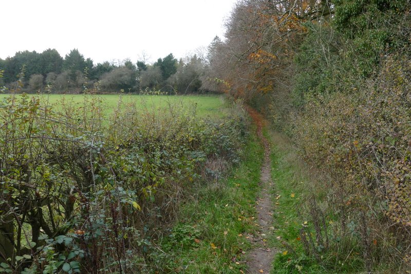
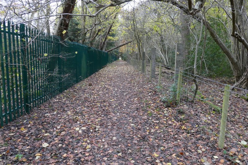
I went a few yards right along the road, then forked right onto a lane. (NOTE: When I did this walk in 2011 I commented that the OS map showed it as an 'other route with public access' but that it looked just like a normal road to me! I've bought a more recent map since then, and it is now shown as a lane). At a junction at the far end of the lane I turned right again, following a a road a short way uphill. Just after the road then turned right, I took a hard-surfaced public byway on the left. After a few hundred yards this turned left and brought me to some buildings (marked Lodge Farm on the OS map). I misremembered this bit of the route, thinking the path I wanted went to the left of the houses whereas it actually goes between the second and third houses. The path dropped down into a small dip and went up the other side, continuing beside some tall green railings on my left to reach a road.
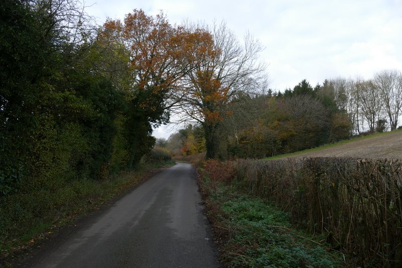
The first lane, going north
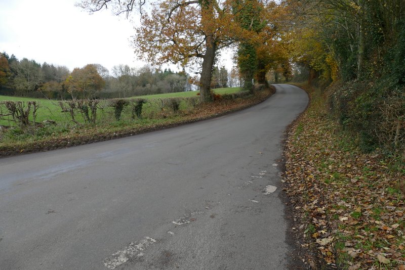
Where I turned right at the lane junction
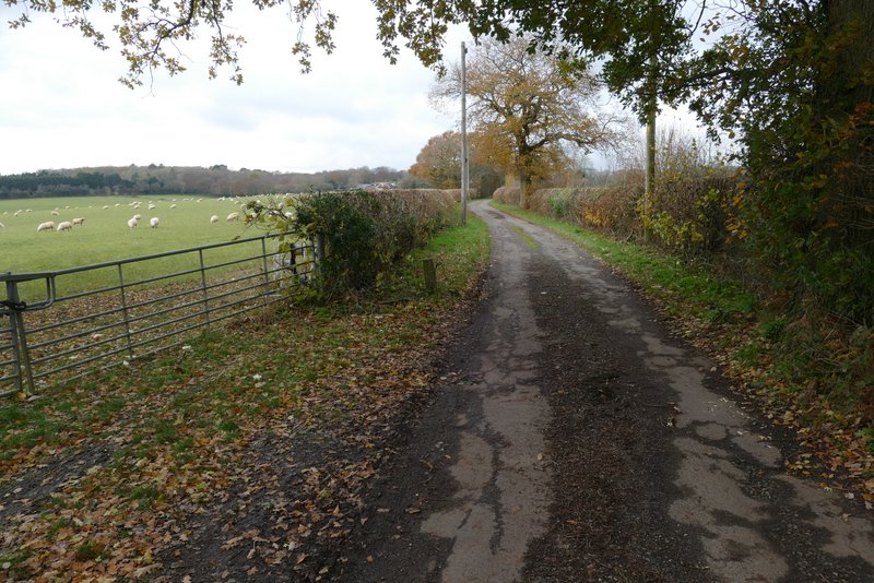
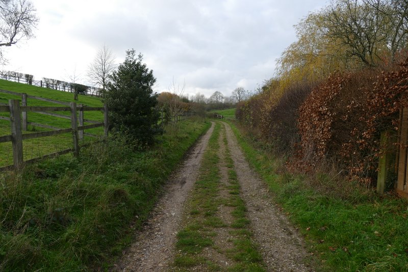
The drive to Lodge Farm
The drive to Lodge Farm (I saw three Red Kites and a Raven here)
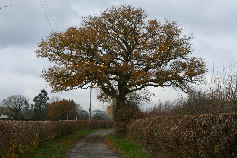
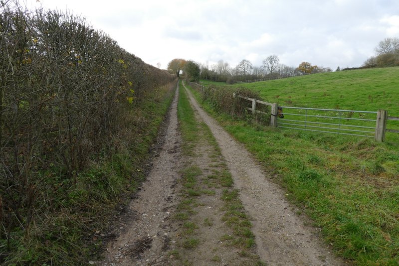
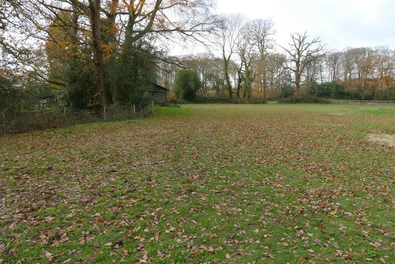
The path going southwest from Lodge Farm
The path going southwest from Lodge Farm
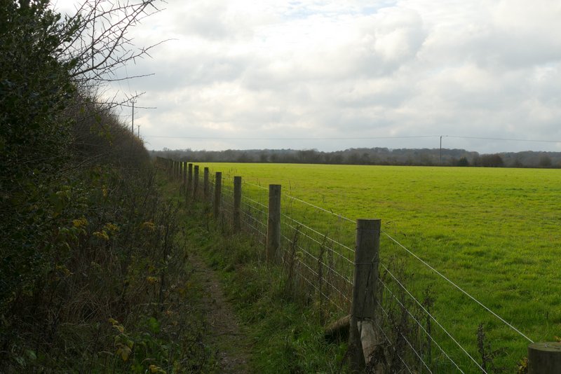
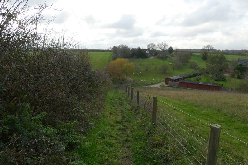
Another path continued on the far side of the road, going down a drive past a house on the left, then going through a kissing-gate and continuing alongside a hedge on my left. On reaching a valley bottom I turned right along a track to immediately reach Tring Grange Farm, where I went half-left along a footpath on a good track between hedges. I stayed on the track at a path junction where another path went right, then at the top of a small rise the footpath forked right from the track, and went through a series of kissing gates in some paddocks or sheep pastures. This path took me down to the valley of Cholesbury Bottom.
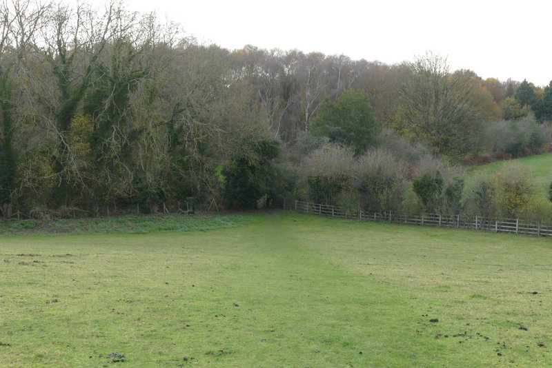
The path after crossing a road, continuing southwest towards Tring Grange Farm
The path continuing southwest towards Tring Grange Farm (in the valley ahead)
The track from Tring Grange Farm
The track from Tring Grange Farm
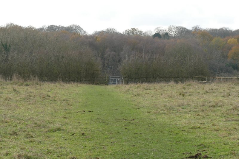
The path continuing to Cholesbury Bottom
The path approaching Cholesbury Bottom
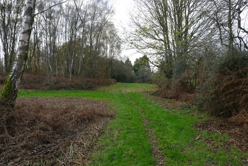
I immediately saw a Buzzard here. I turned right, and followed a path along a broad belt of grass to a road. I expected there to be a path on the other side of the road but couldn't see one, so I varied my route slightly by going left along the road for maybe a hundred yards and then turning right along a lane (I could have shortened the walk slightly by following the road to its end and turning left to reach my car). I followed the lane a short way and then turned left on to a footpath. This soon brought me to the ditch and banks of Cholesbury Camp, an Iron Age Hill Fort. A white arrow indicated the path crossed the ditch and went left along the top of the inner bank. After a short distance I went over two stiles in quick succession to enter the paddocks inside the hill fort, where I continued across to a hedgerow (with Cholesbury church the other side) and then turned left to reach the road through Cholesbury. It was then just a short stroll left back to the car park (just the other side of a road junction).
Path at Cholesbury Bottom
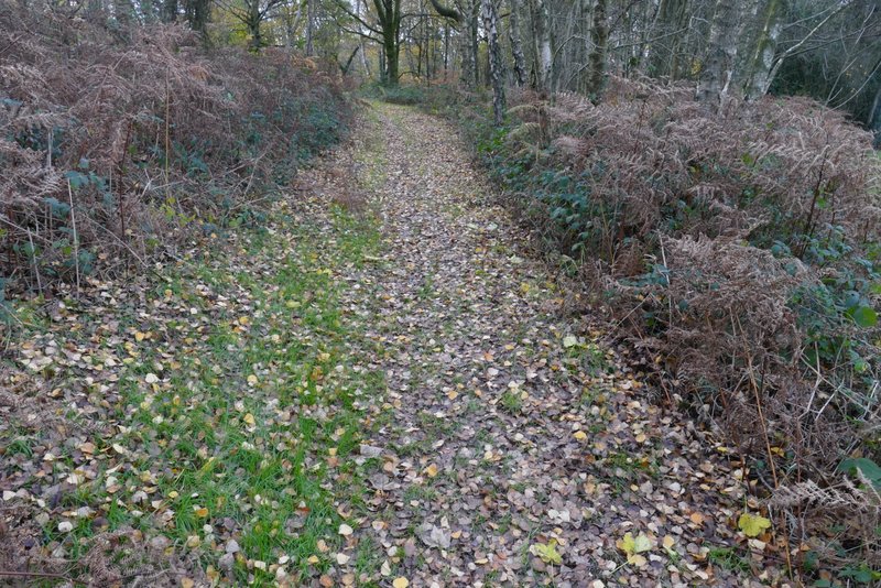
The path to Cholesbury Camp, after I turned left from the lane
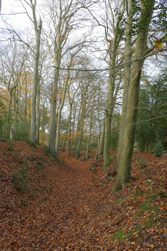
Looking right from where the path crosses the banks and ditch of Cholesbury Camp
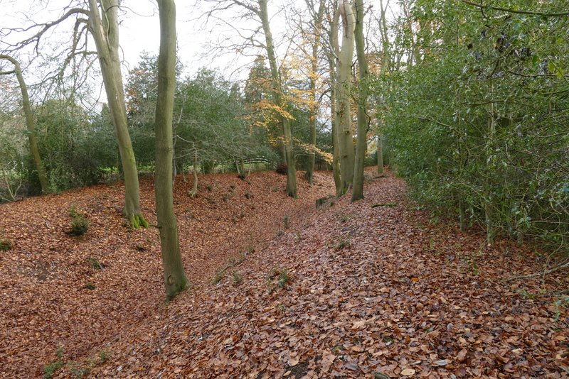
The path round the edge of Cholesbury Camp
Paddocks inside Cholesbury Camp
It had been a very grey and overcast day, with just a couple of fleeting appearances by the sun. It was also pretty cold, about 5C, but I was warmly wrapped up and didn't feel it. The route was fairly flat, with only a few small ups and downs - the only steepish bit was the small drop down to Tring Grange Farm. It was a nice mixture of commons, fields and woods, and the ruined chapel and the Iron Age Hill Fort added some historic interest.