Pete's Walks- Ivinghoe and Aldbury (page 1 of 3)
If you are considering walking this route yourself, please see my disclaimer. You may also like to see these notes about the maps and GPX files.
I did this roughly 7.6 mile circular walk on Sunday, 19th March 2023. It was a new route for me, which included one path I'd never walked before, another path I'd only walked once before, and some paths I'd only walked a few times before. I'd actually intended to repeat a walk I do from Pitstone Hill, but the car park was full when I got there. On my way there I'd noticed the start of a path from Ivinghoe, which I remembered as being quite enjoyable and that I'd not walked for about 10 years. So I parked at the main car park for Ivinghoe Beacon, looked at the OS map and quickly figured out a route that would include that path.
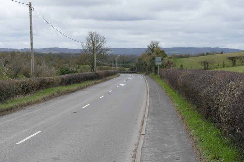
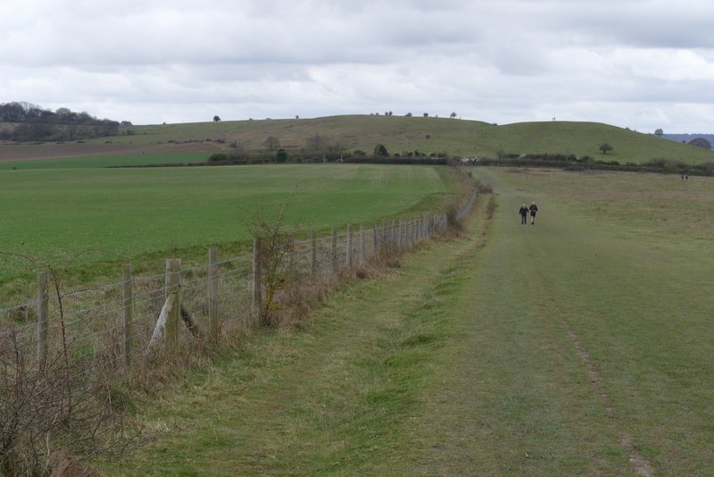
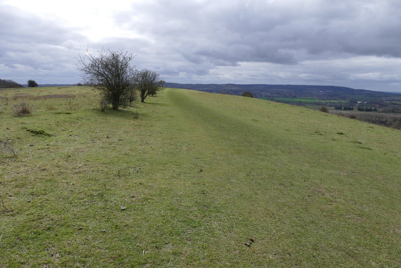
I had a very late start (especially considering this was such a local walk) because I first needed to drop my elderly mother off at her church, and didn't start walking until about 11.20am. From the main car park for Ivinghoe Beacon (grid reference TL 963160), I went across a few yards of grass and took the path heading to the Beacon (it had obviously been resurfaced recently). I followed it for a few hundred yards, then took a small path on the left to reach a chalky area close to a bend in the road (alternatively I could have just followed a path from the car park through the trees next to the road to reach this point). I crossed the road here (there was a white acorn sign here, amongst other waymarks, as this is the route of the Ridgeway national trail which starts or finishes on Ivinghoe Beacon), then turned right beside the road for a few yards before taking an obvious chalky track gently descending the hillside. This was the start of the path I'd not walked before (though I might have walked a few yards of it hereabouts when looking for orchids a couple of times). On reaching a field, the track went right but the footpath went through a gate on the left and continued along the foot of Steps Hill beside a fence on my right. After a few hundred yards the public footpath turned right and crossed an arable field, soon joining a strip of grass and then an intermittent hedgerow. After going through a narrow sheep pasture I reached a road coming down from Ivinghoe Beacon, opposite a farm and campsite.
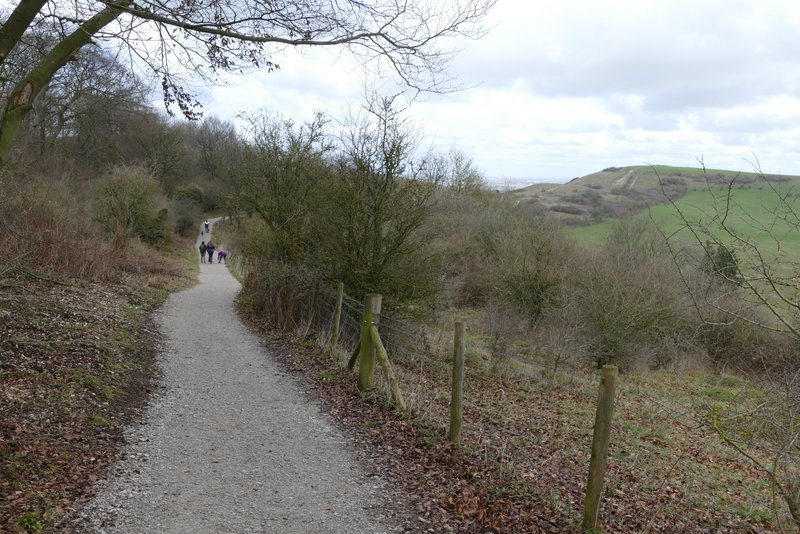
The path from the car park, heading to Ivinghoe Beacon (which I didn't go to today)
The path from the car park, heading to Ivinghoe Beacon (I turned left from it approximately where the third couple of people along it are)
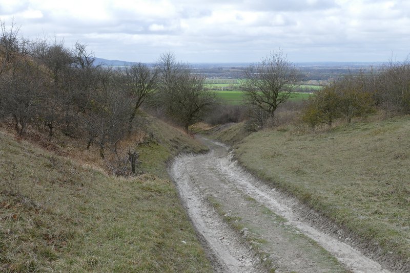
The track heading downhill from the other side of the road past Ivinghoe Beacon
Further down the track
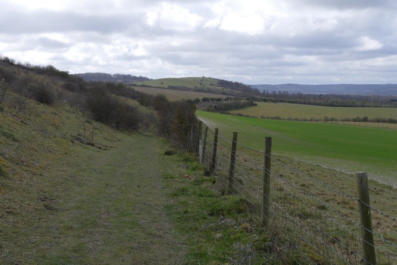
The footpath continuing along the foot of Steps Hill
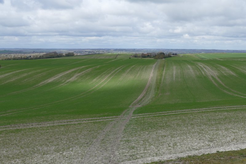
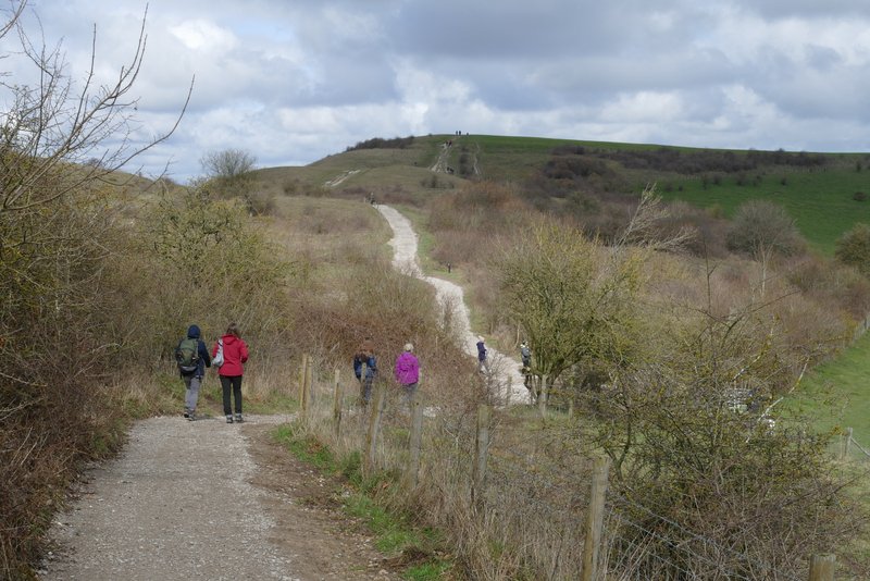
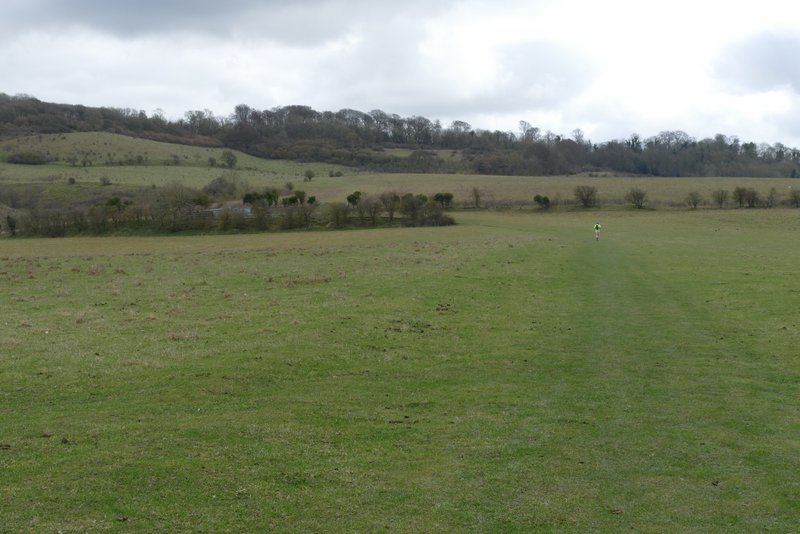
The footpath after it turns right to cross the fields
Looking right from the footpath, towards Ivinghoe Beacon
The footpath continuing across the fields (the road from Ivinghoe Beacon to Ivinghoe crosses the middle of this shot)
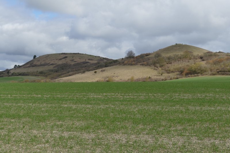
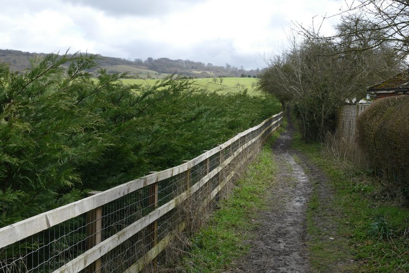
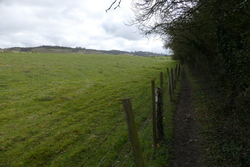
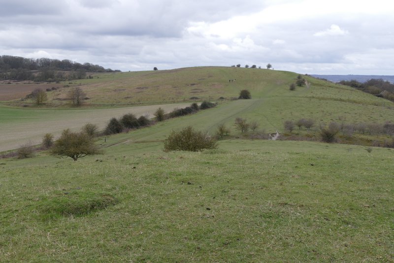
I crossed the road and turned left along the pavement, heading downhill towards Ivinghoe. Just before coming to a T-junction, I crossed the road (where the verge on the far side broadened out) and then went left at the junction. After passing a property on my left, I turned left onto a footpath - this was the path I'd seen earlier on my way to Pitstone Hill, which I hadn't walked since 2012. The path ran gently uphill between fences and hedges for a few hundred yards, then went through a gate and continued gently uphill beside a hedge on my left for a few more hundred yards. Really I should have planned a route to walk this path in the opposite direction, as I needed to turn round to admire the view back over the Vale of Aylesbury. At the end of the hedge the path went straight on to reach the end of another hedge, where it then went half-left to a gate. The path then continued on for a few hundred yards, with Incombe Hole and Steps Hill close by on my right.
The road heading to Ivinghoe
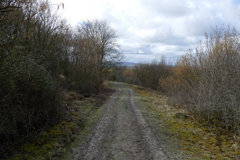
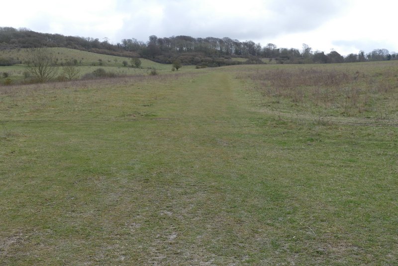
The start of the path from Ivinghoe
The path from Ivinghoe
The path from Ivinghoe
The path from Ivinghoe
The path from Ivinghoe, shortly before reaching the Ridgeway national trail
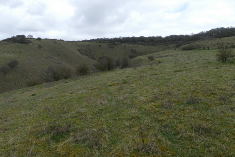
Incombe Hole cutting into Steps Hill
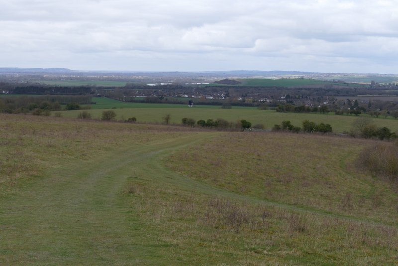
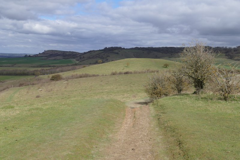
View back from just before I reached the Ridgeway (Pitstone Mill is in the centre of the photo)
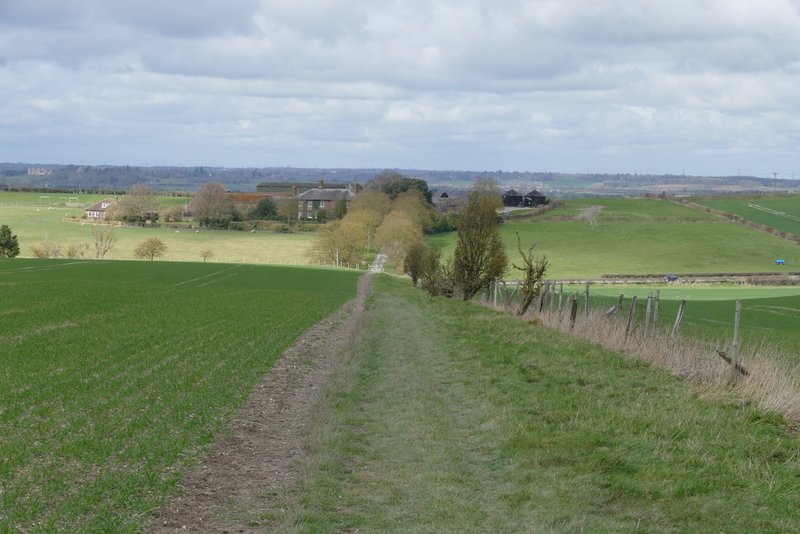
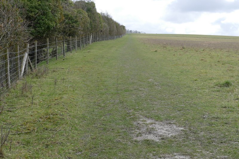
On reaching a path crossroads, I turned right along the Ridgeway national trail, which I'd follow for about a mile and a half. The path ran almost imperceptibly downhill beside a fence on my left. I then crossed a lane and went through the Pitstone Hill car park (still full) and straight up a hillock. I dropped down the far side and continued ahead to follow a path gently up Pitstone Hill.
The Ridgeway heading towards the Pitstone Hill car park
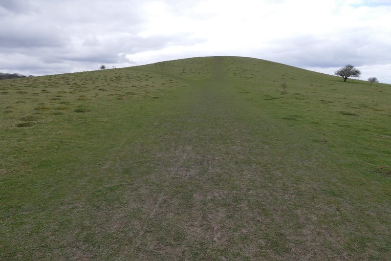
The path up the hillock by the Pitstone Hill car park
Looking towards Pitstone Hill from the hillock
View back from the path up Pitstone Hill
The path on Pitstone Hill