Pete's Walks- Ivinghoe and Aldbury (page 3 of 3)
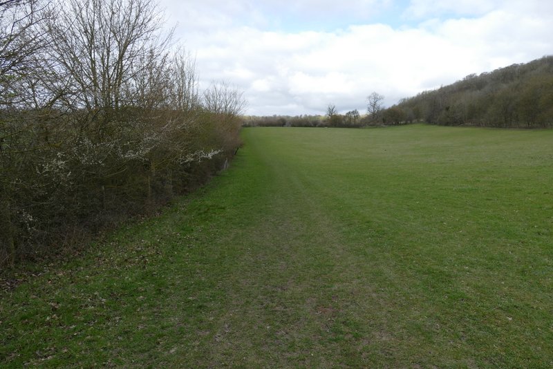
The path then crossed a drive, and then soon ran between paddock fences on either side. It then continued along the left edge of a large meadow, with the woods of Ashridge rising up on the other side. After then crossing a bridleway I was back on familiar territory, the path crossing a field and then going half-left across another field to reach the drive to Duncombe Farm (to my right). Across the drive the path continued uphill across a large field, then continued beside a wood on my left. On entering the woods at a field corner, the path dropped downhill a short way before rising uphill to meet the main track between the Bridgewater monument in Ashridge and Ivinghoe Beacon, where I turned left.
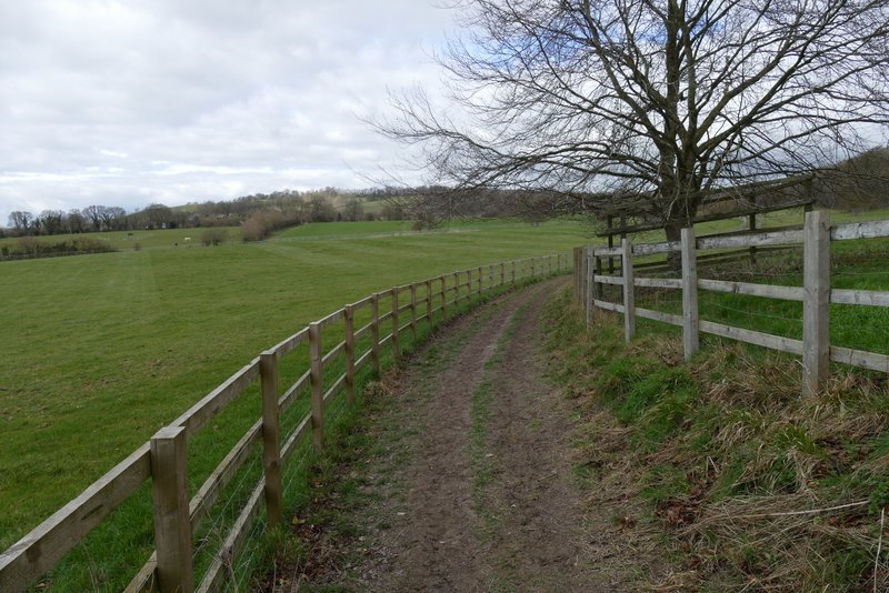
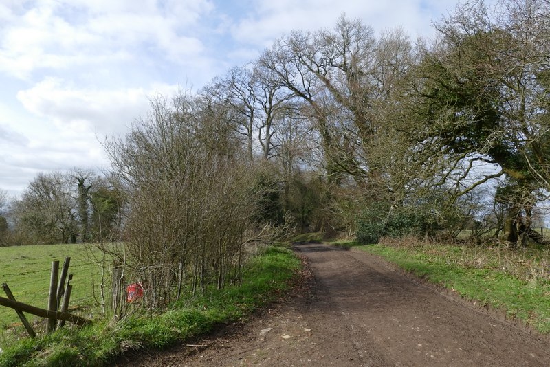
The path continuing after crossing a drive

Further along the same path
Further along the same path
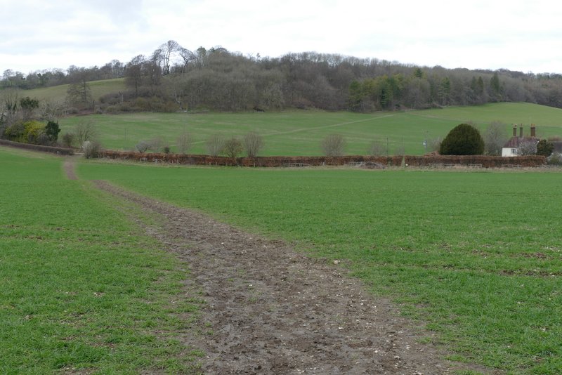
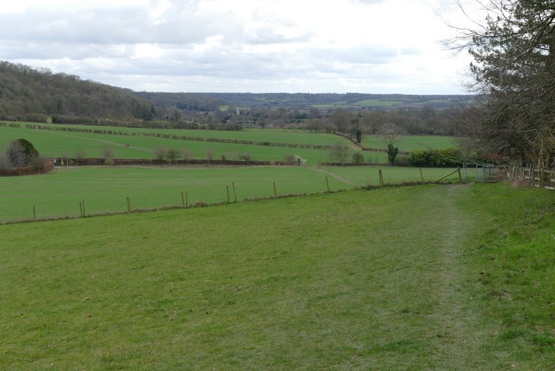
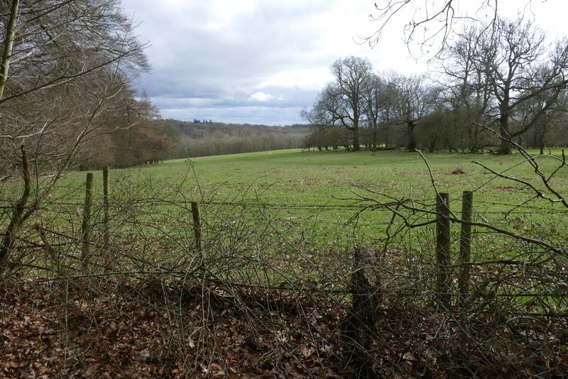
The path continuing near Duncombe Farm (on the right). You can see the path continuing up through the next field to the woods.
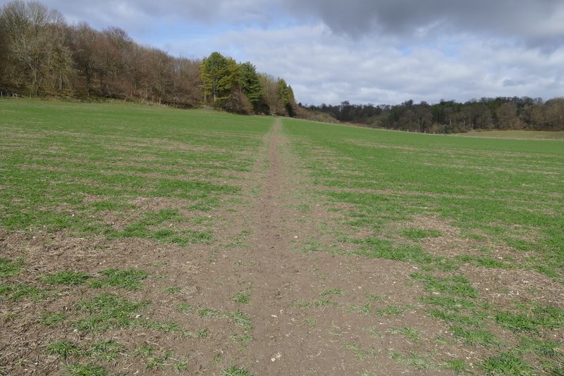
The path after crossing the dive to Duncombe Farm
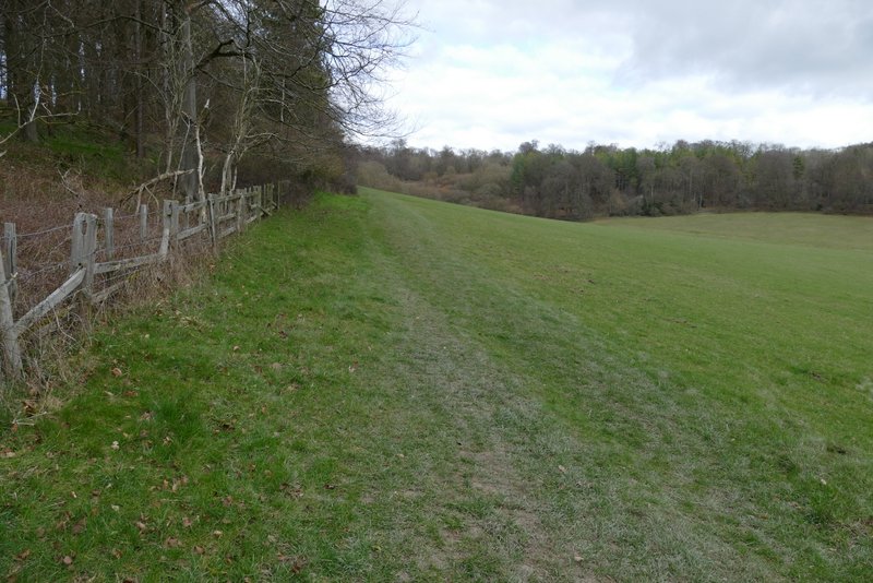
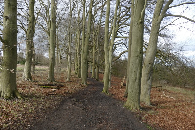
The same path continuing beside a wood
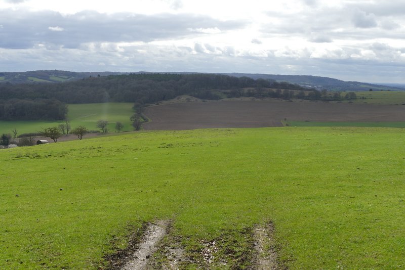
View back towards Aldbury
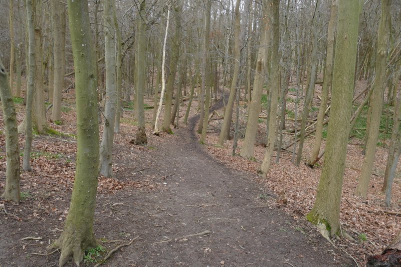
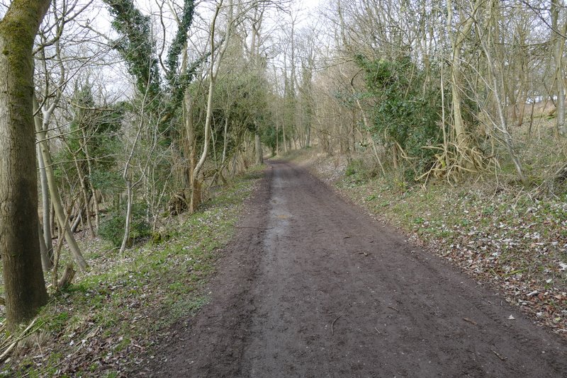
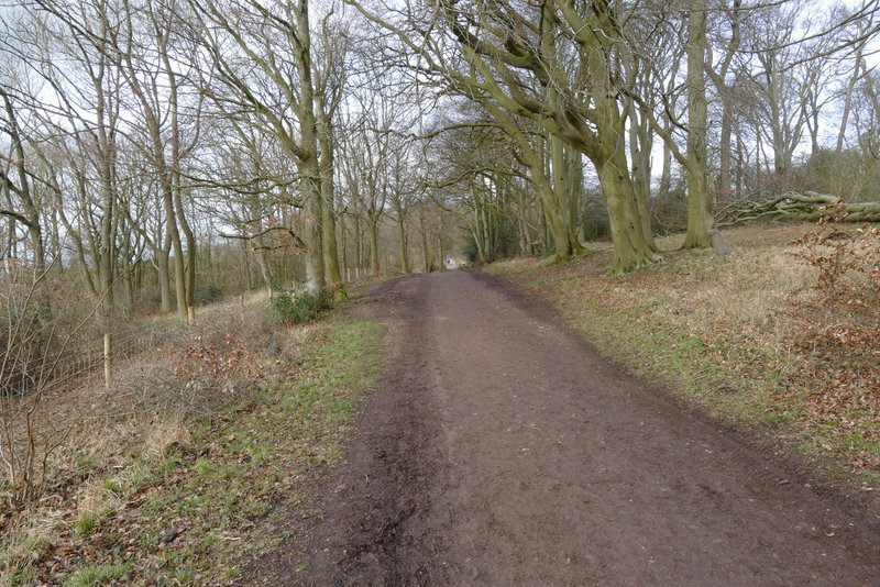
The same path continuing through the woods of Ashridge
The wood to the left of the track ended after two or three hundred yards, and there were then some nice views on that side. I passed the kennels on Clipper Down, and continued following the track, which descended slightly and then ran fairly level with woods on both sides again. Altogether I followed the track for almost a mile.
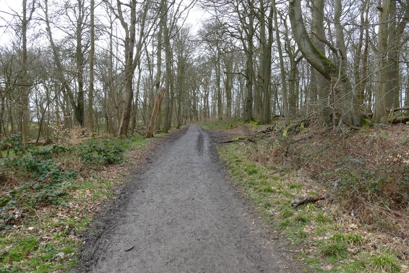
The track from the Bridgewater Monument in Ashridge, heading towards Ivinghoe Beacon
View left near Clipper Down
The same track on Clipper Down
View left from Clipper Down (the wooded hill is Aldbury Nowers)
Further along the same track
Further along the same track
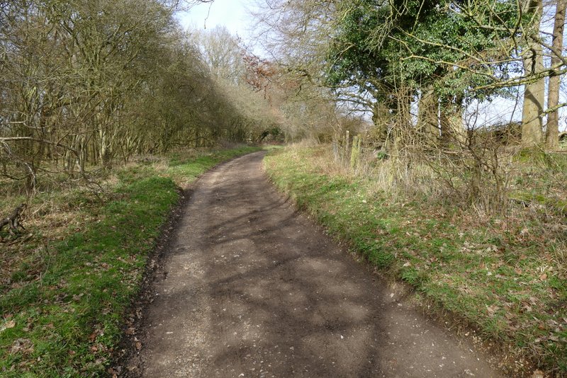
Further along the same track
Just before reaching a road, I took a path going half-left through a parking area and across some grass, and then crossed the road. I then just had to follow a path through a nice area of beech trees next to the road to return to the car park where I'd started.
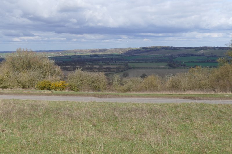
View towards Dunstable Downs from near the road between Ivinghoe Beacon and Ringshall
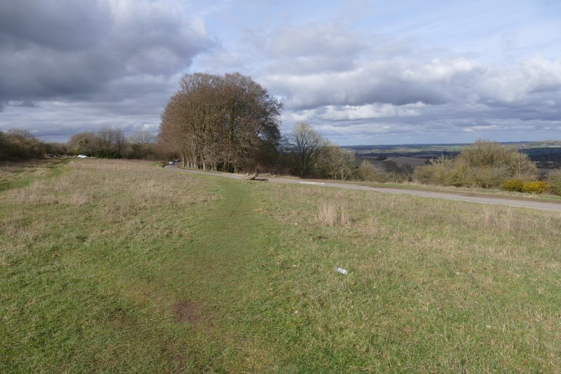
Path through the grass heading to the road
Path through Beech trees beside the road, leading back to the Ivinghoe Beacon car park
The walk took me around 3 hours and 20 minutes, which is pretty slow for 7.6 miles (I am very unfit and overweight, I really need to do something about it). Considering that I made the route up on the spur of the moment, I think it worked out pretty well. The path I took from near Ivinghoe Beacon that I'd not walked before was very nice, I think I'd been put off it before because it led to a road walk but that was over very quickly. The path from Ivinghoe that led gently uphill to the Ridgeway was good too, but is far better in the opposite direction with the views ahead of you. The section of the Ridgeway over Pitstone Hill and Aldbury Nowers is very familiar to me, and like all the Ridgeway much busier than other paths, but is still very nice to walk. The paths near Aldbury I'd only walked once or twice before, but then the last couple of miles were again on very familiar paths. Overall it was a very pleasant walk that I'd be happy to do again. But it was strange to be so close to Ivinghoe Beacon without going up it, I think other people who'd not visited the Beacon before would extend the walk by going up and down it.