Pete's Walks- Cadmore End and Idlecombe Wood (page 4 of 4)
I turned right at the T-junction, passing Ibstone House on my left. I then turned left along a bridleway, running through the park land of the big house. Even on a grey day like this, the bridleway was very charming as it descended through the park down into a valley, with good views ahead and on either side - this was definitely a highlight of the walk. In the valley bottom (it's called Twigside Bottom, I think) I came to a bridleway T-junction where I turned right, but only for 100 yards or so before turning left onto another bridleway,following a track towards Harecramp Cottages (so named on the OS Map).
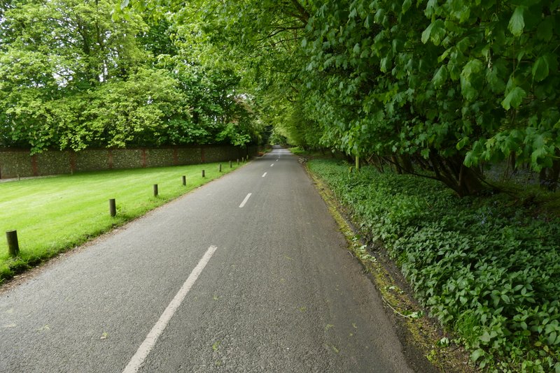
The road through Ibstone
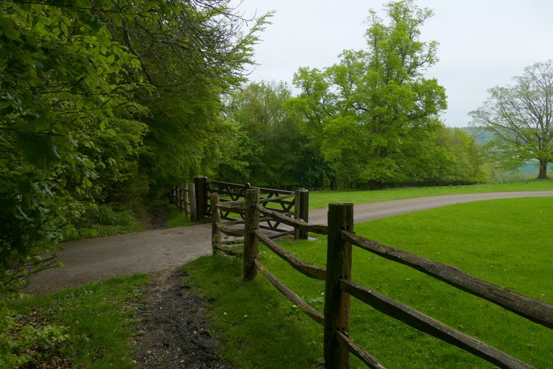
The start of the bridleway through the park land near Ibstone House
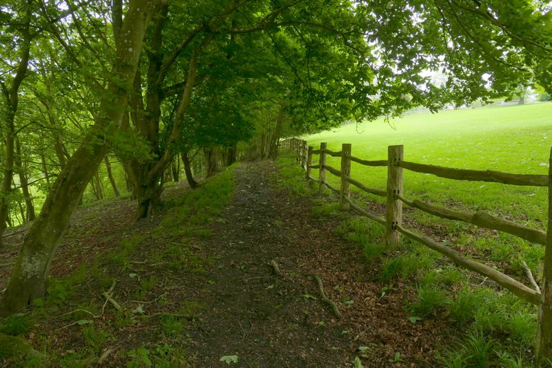
The bridleway through the park land near Ibstone House
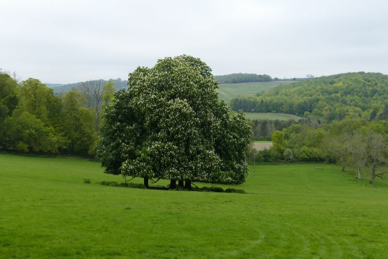
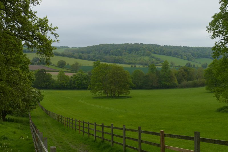
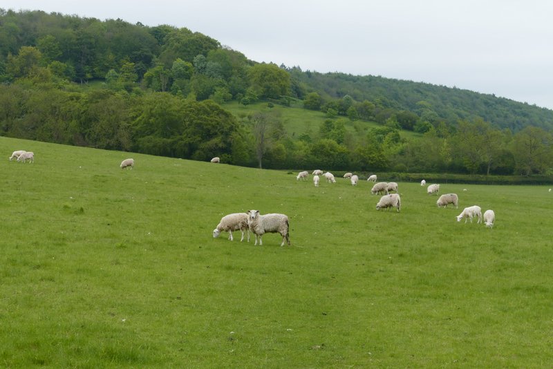
View left, over the park land near Ibstone House
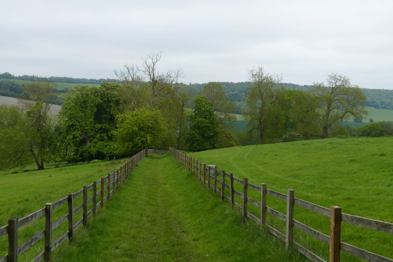
The bridleway through the park land near Ibstone House
The bridleway through the park land near Ibstone House
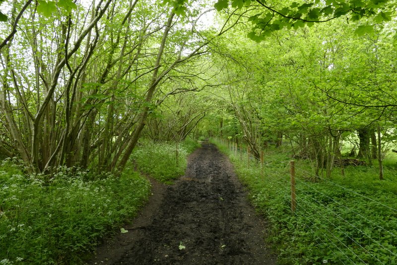
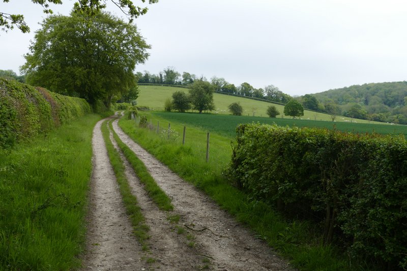
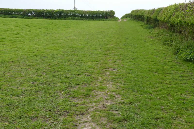
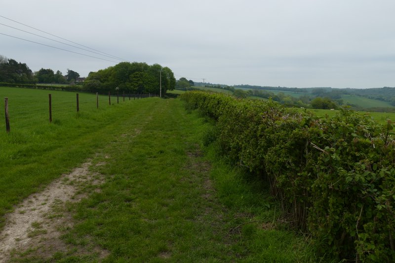
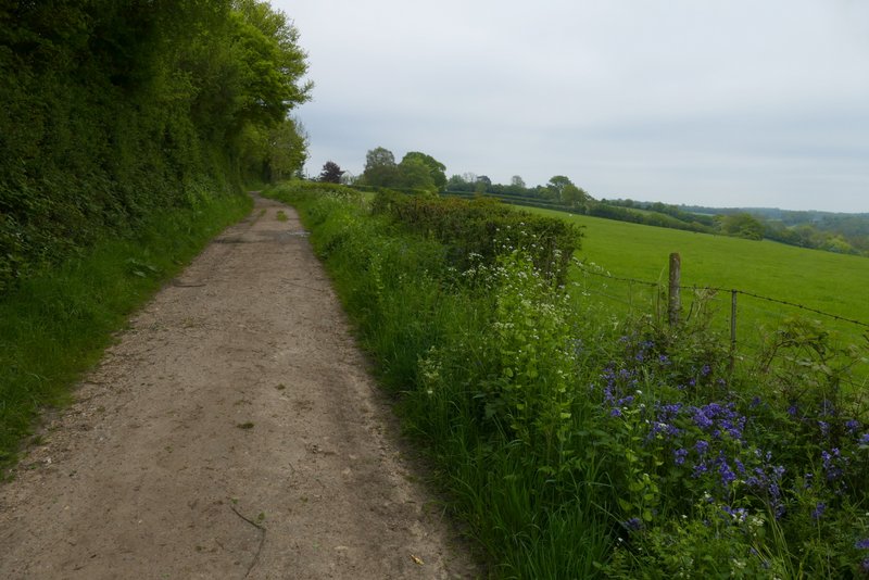
Just before reaching Harecramp Cottages, immediately after a field corner on my right, I took a footpath on the right (the OS map shows the path starting in the field corner for a few yards and then entering the next field). A fairly clear path led through the grass of a large sheep pasture, sloping gently up to my left, to reach Chequers Lane on the far side. Across the lane a bridleway continued, running alongside Hanger Wood on my right (I'd been through another part of this wood near the start of the walk). The bridleway started quite level, then gradually began to rise gently uphill, steepening a bit just before reaching the end of the wood. On leaving the wood, the bridleway turned right and followed a hedgerow on my right, still uphill but levelling out after a two or three hundred yards. The bridleway was now on a farm track. After a few hundred yards, just before it would have met another track, I went half left through a small group of trees. I then turned left along a track, where I retraced my steps from the start of walk, returning to Cadmore End and turning left along Church Road.
The bridleway along Twigside Bottom
The bridleway to Harecramp Cottages
The path from Harecramp Cottages to Chequers Lane
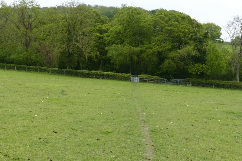
The path from Harecramp Cottages to Chequers Lane
Near the start of the bridleway from Chequers Lane to Cadmore End
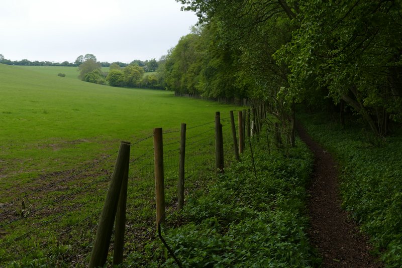
The bridleway from Chequers Lane to Cadmore End
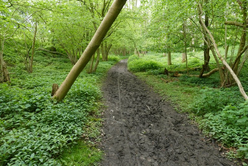
The bridleway from Chequers Lane to Cadmore End, after it leave Hanger Wood
The bridleway from Chequers Lane to Cadmore End
The farm track back to Cadmore End (that I'd walked at the start of the walk)
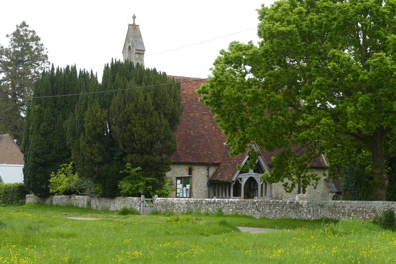
Cadmore End church
I was really pleased with this walk, and would be be very happy to do it again. I think it's just as good as the 5.1 mile Cadmore End and Turville route that I based it on, and like that walk I'll give it two stars on my ratings system (meaning it's much better than one of my typical walks in the Chilterns).