Pete's Walks - Cholesbury and Chartridge (page 5 of 6)
If you are considering walking this route yourself, please see my disclaimer. You may also like to see these notes about the maps and GPX files.
I turned right along the drive, and at its end turned left along a road. This immediately turned right and came to a junction, where I went straight on. The road dropped downhill into the settlement of Buckland Common, where I turned sharp left at a road junction. I soon came to another junction, where I turned right into Parrott's Lane, and then immediately turned left into Little Twye Road. I stopped at a seat on the green to my right to have my lunch (it was now about 1.10pm), then continued along the road. After two or three hundred yards, I took a footpath that started at a gap in the hedge on my right. The path crossed a corner of a corn field, went over a drive, and then followed a hedgerow on my left through a meadow or pasture.
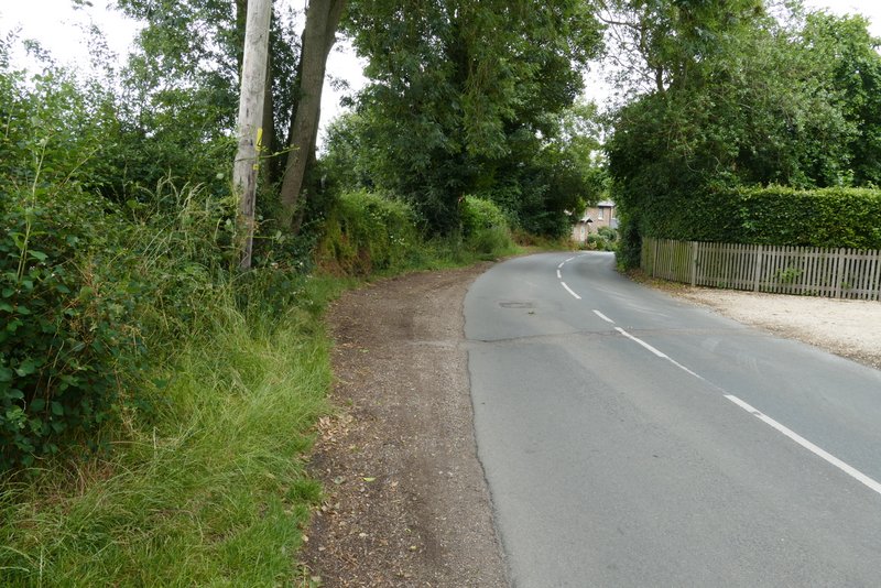
The road after I turned left at the end of the drive from Dundridge Manor
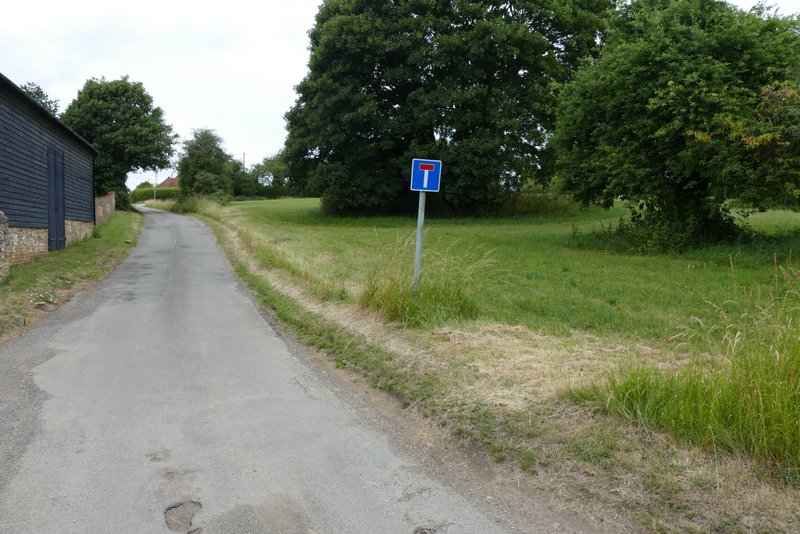
The start of Little Twye Road
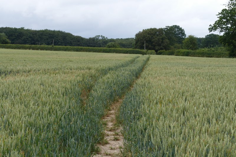
The path after I turned left from Little Twye Road
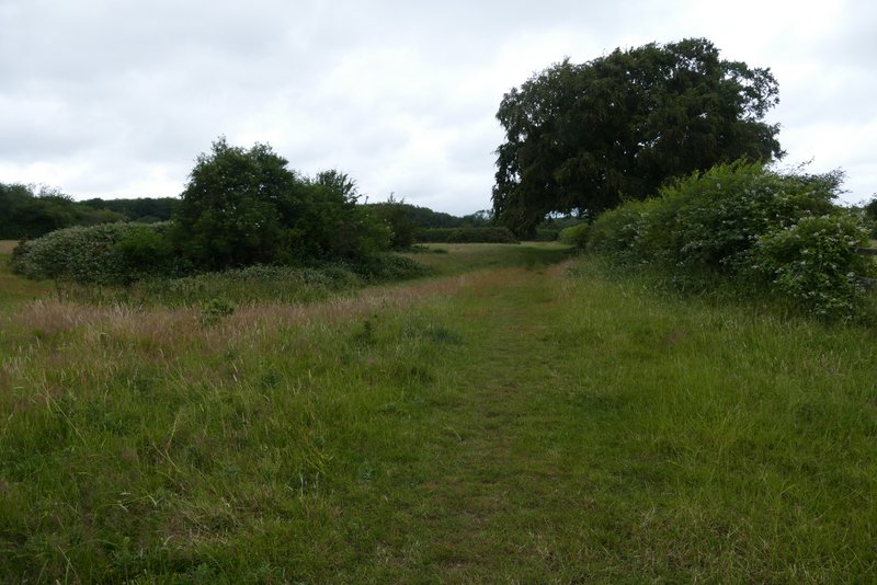
The same path after I crossed a drive
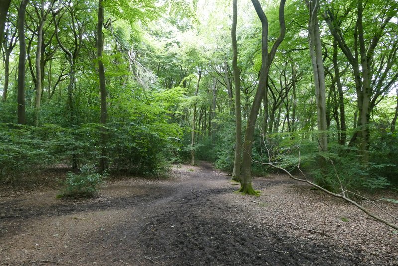
On entering the next field (a pasture with a few cows in it), I continued along the obvious path heading across it to a wood - this was where I strayed from my intended route, I should have stayed beside the hedgerow going half-right. I realised my mistake as I approached the wood, but decided to carry on. The path continued through the wood and after two or three hundred yards I forked right (not sure if there was any sign, but see photo below). The path continued though the wood for about a third of a mile (my intended route came in on the right just before I left the wood), and then ran a short way between wooden fences to reach Shire Lane.
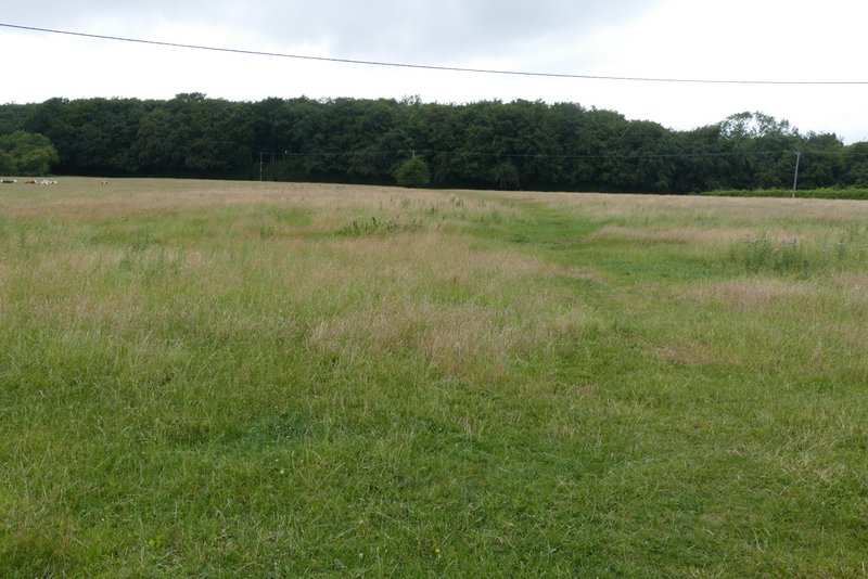
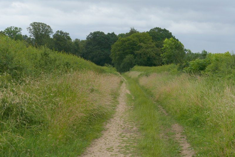
The path going straight on across a cow pasture (I should have turned half-right along a hedgerow here)
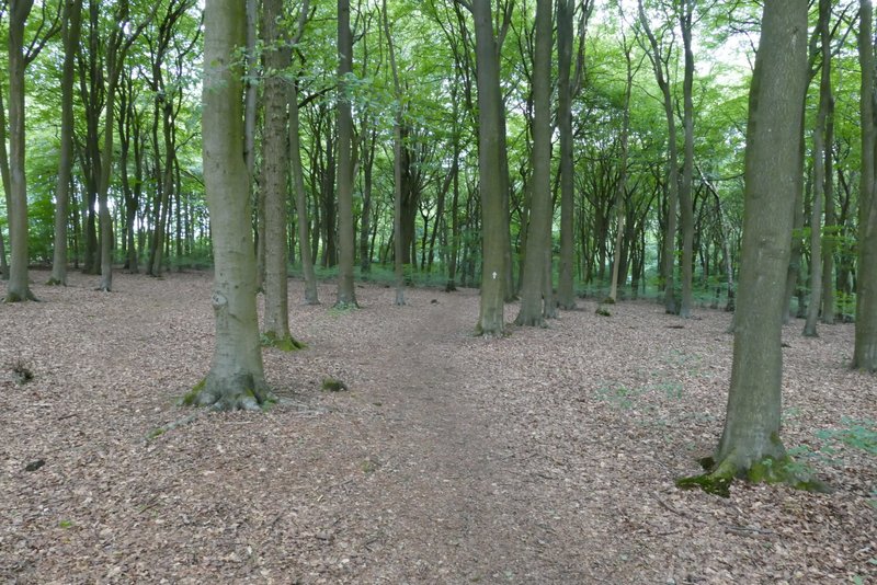
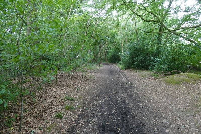
The path continuing through Drayton Wood
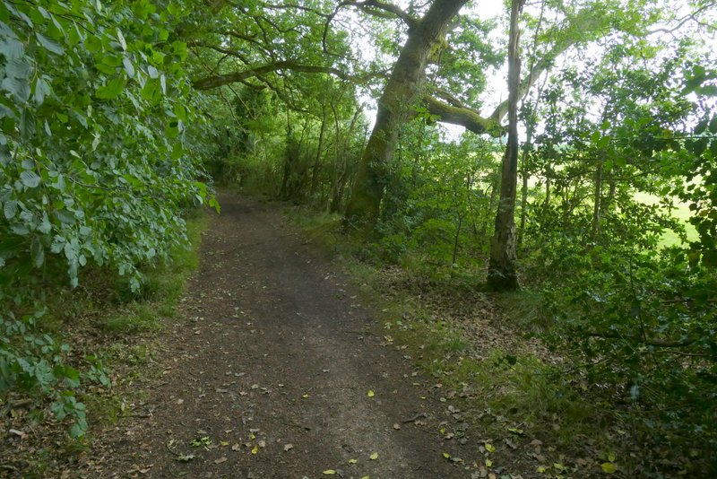
The path continuing through Drayton Wood (I forked right here, between the two trees just right of centre in this photo)
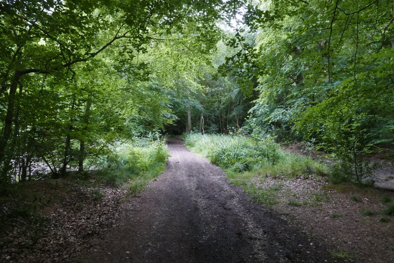
The path continuing through Drayton Wood
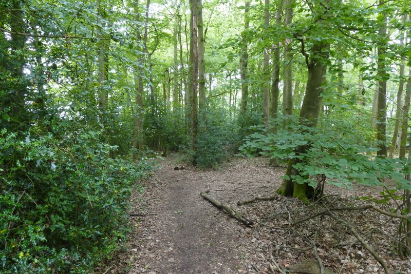
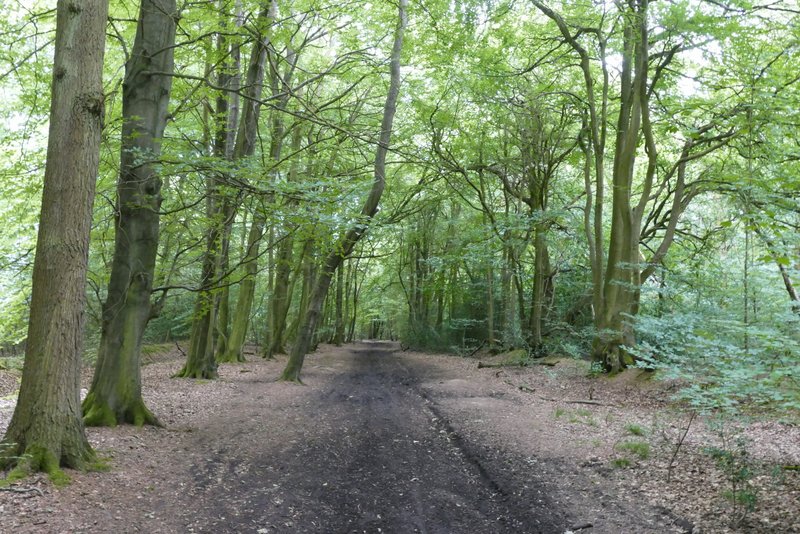
The path continuing through Drayton Wood
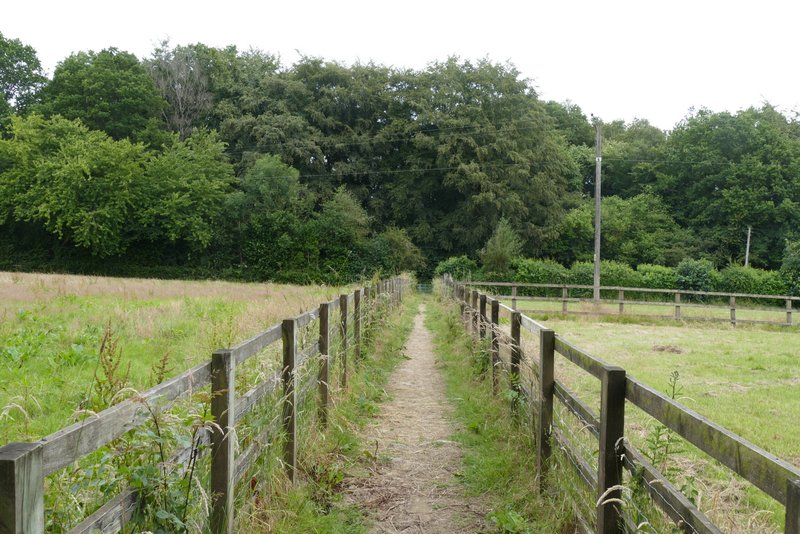
The path continuing from Drayton Wood to Shire Lane (now back on my intended route)
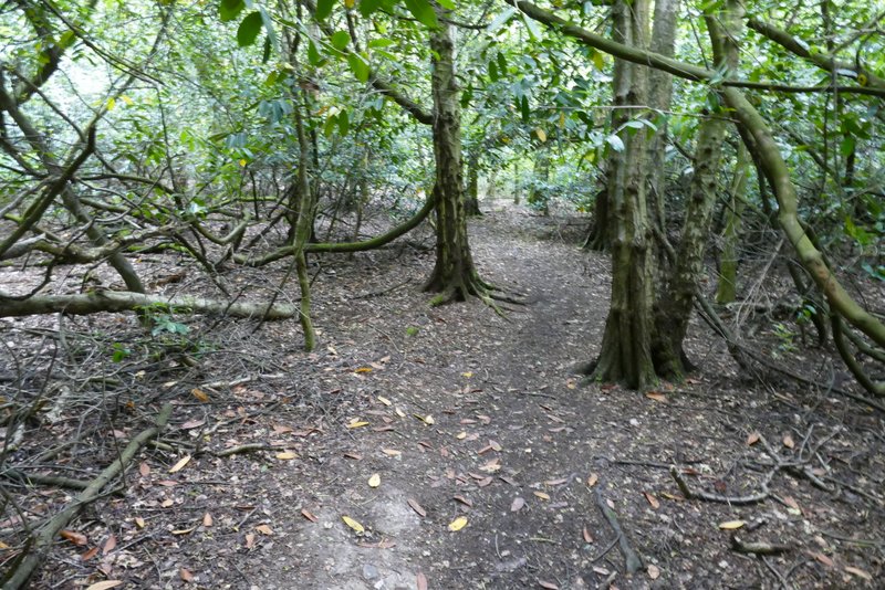
Across Shire Lane, a footpath continued through a small wood, and then crossed a small corner of a corn field to a projecting hedge corner. It then continued a short way beside the hedge, and then I turned right beside a tree belt (part of Grims' Ditch, an ancient earthwork, runs through it). At the end of the corn field I turned right along a hedge-lined byway named Browns Lane. The byway continued through Shrubb's Wood, with a field nearby on my right, and then through a wood called High Scrubs which initially was on both sides of the byway but later on there was again a field nearby on my right.
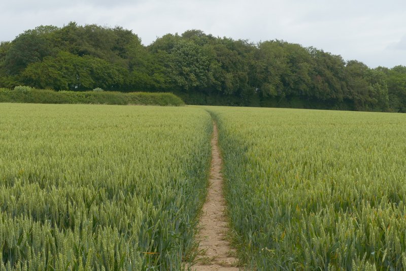
The path after crossing Shire Lane and going through a small wood
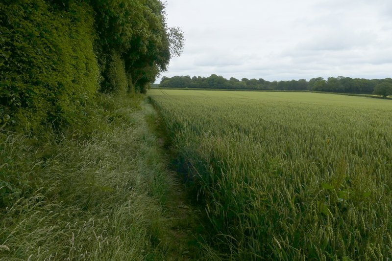
The path after I turned right, running beside a tree belt that follows part of Grim's Ditch
Browns Lane, heading to Shrubb's Wood
Shrubb's Wood
High Scrubs
High Scrubs
High Scrubs