Pete's Walks - Cholesbury and Chartridge (page 6 of 6)
If you are considering walking this route yourself, please see my disclaimer. You may also like to see these notes about the maps and GPX files.
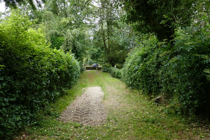
I kept an eye out for when the field on the right ended (I could occasionally see the hedgerow where it ended), and took a path that left the wood and ran along that hedgerow (on my left) to take me back to Shire Lane. A few yards to the left, I took a path on the other side (next to a property named Montana), which soon entered another part of Drayton Wood. I then turned left at a path junction, going through a couple of overgrown paddocks and continuing through a wood (I kept right at a path fork just inside the wood).
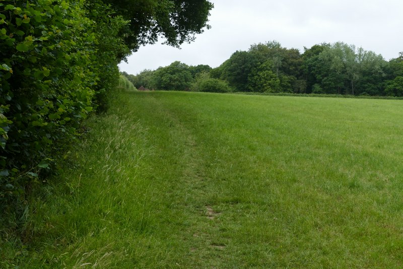
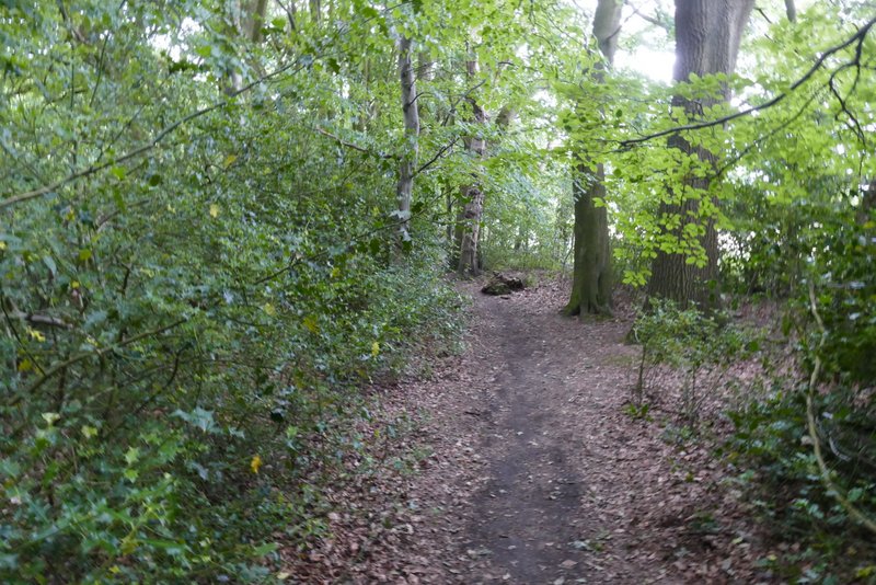
The path from High Scrubs back to Shire Lane
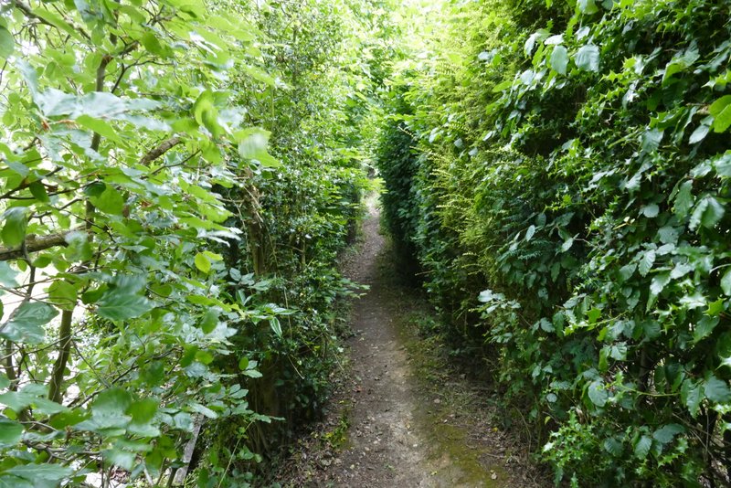
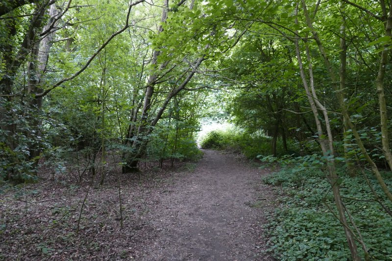
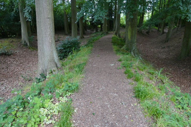
The path on the other side of Shire Lane, next to a property named Montana
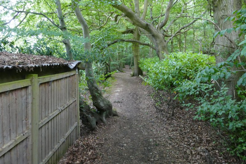
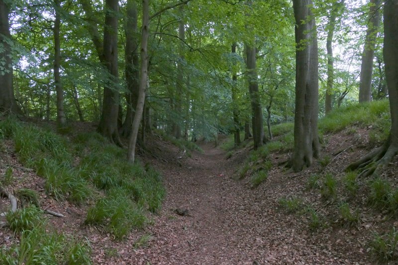
The same path, now just inside Drayton Wood
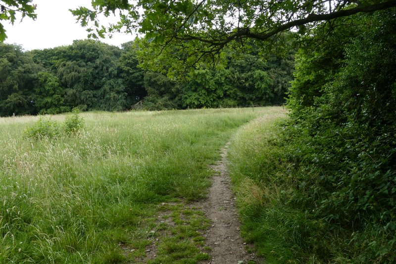
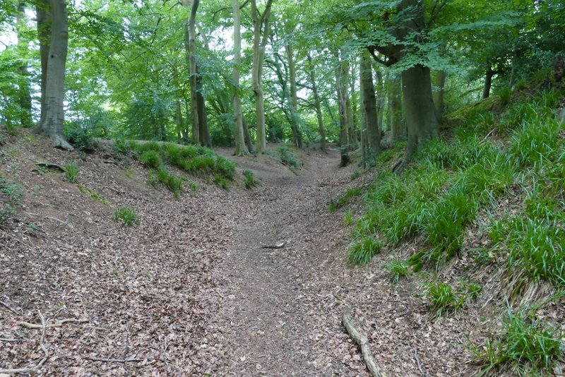
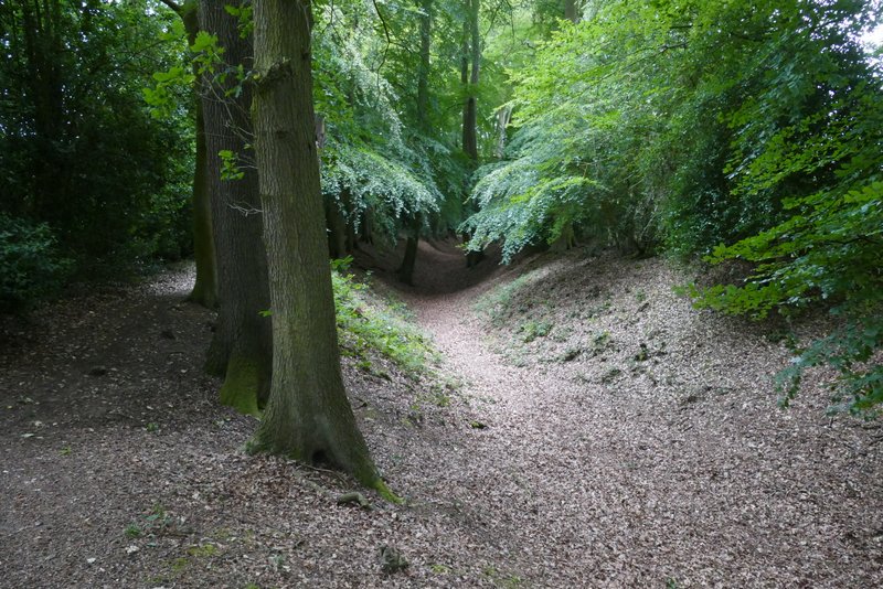
The path after I turned left
Further along the same path
Further along the same path
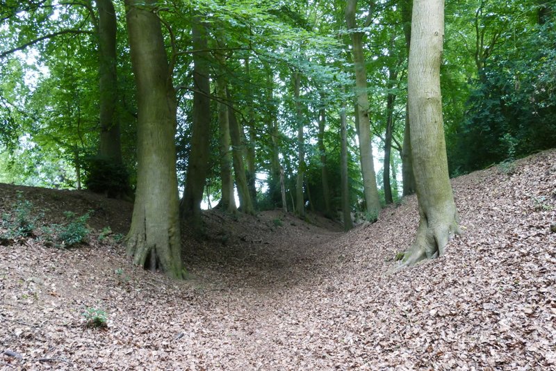
The path brought me to the ditch and embankments of Cholesbury Camp, an Iron Age hillfort (it's an example of one that isn't actually on a hill). I turned left and followed the ditch (I could have just gone straight across the centre of Cholesbury Camp if I'd wanted to shorten the walk). The ditch and embankments curved slowly to the right. Where the second of two footpaths came in on the left, the footpath should have continued along the top of the embankment on my right but a warning sign said it could be dangerous because of fallen branches and other hazards, so I continued along the ditch (I did take that footpath about six months ago, when there was no warning sign, and thought afterwards that it would have been better to stay along the ditch). Just before the ditch was blocked off, a path went up the embankment on the right and over two stiles in quick succession, to enter the paddocks within the hill fort. I walked straight on until I reached a fence line, where I turned right, went through a gate and turned left. I then went through a gate into the churchyard of St Laurence's church. I passed to the right of the church and out of its main gate. A short way down a drive, I turned right onto a footpath and resumed following the ditch and embankments (there were actually two ditches in this section). I soon came back to where I first met the earthworks (there was an information board here), where I turned right and walked straight on across the centre of the hill fort, emerging by the village hall where I turned left to follow the road back to where I'd parked.
The ditch and embankments around Cholesbury Camp, after I turned left
The ditch and embankments around Cholesbury Camp
The ditch and embankments around Cholesbury Camp
The path continuing inside Cholesbury Camp
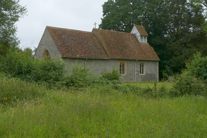
St Laurence church, Cholesbury (within Cholesbury Camp)
The path from the church
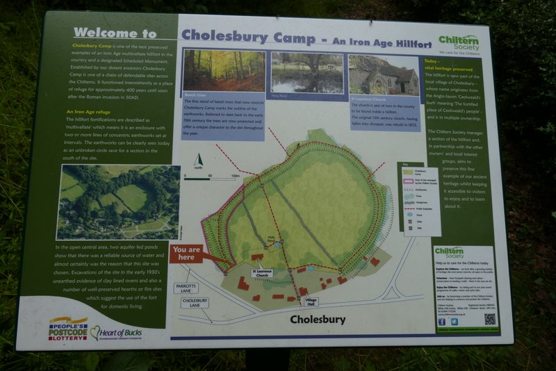
Information board about Cholesbury Camp
The ditch and embankments around Cholesbury Camp (you can see there's a double ditch in this section)
The ditch and embankments around Cholesbury Camp
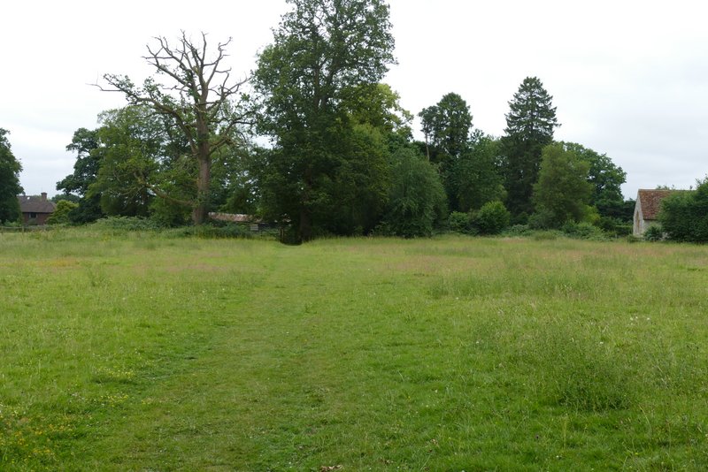
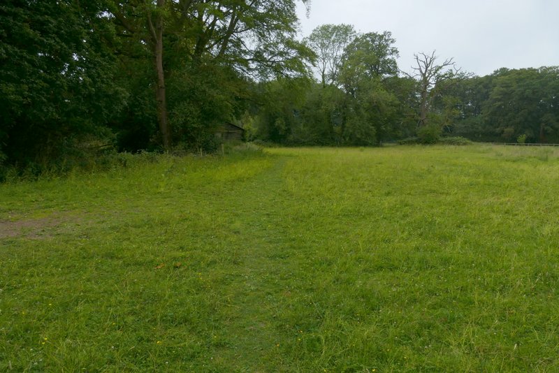
The path crossing the middle of Cholesbury Camp
I really enjoyed this walk, despite the overcast grey skies I had the whole way round. I'm pretty sure I hadn't walked this route since 2013, though perhaps three-quarters of the paths I've walked on other routes since then. It's odd, because I used to walk this route quite regularly and I can't really explain why it's dropped out of favour. I'd certainly be very happy to do it again, but I think I'd take a slightly different route to avoid the path blocked by brambles on the way to Dundridge Manor (I've added that as Alternate 2 on my Google map).