Pete's Walks - Gaddesden Row and Briden's Camp (shortened version) (page 1 of 3)
If you are considering walking this route yourself, please see my disclaimer. You may also like to see these notes about the maps and GPX files.
I did this circular walk of about 7.25 miles on Saturday, 19th August 2023. It was a shortened version of a walk I've done several times before, from Gaddesden Row to Briden's Camp and back. The shortcut I took today used a path I'd not walked before and two paths I'd not walked for at least a dozen years.
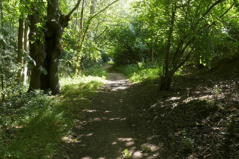
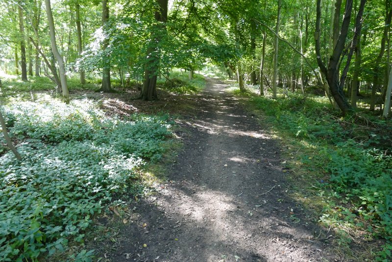
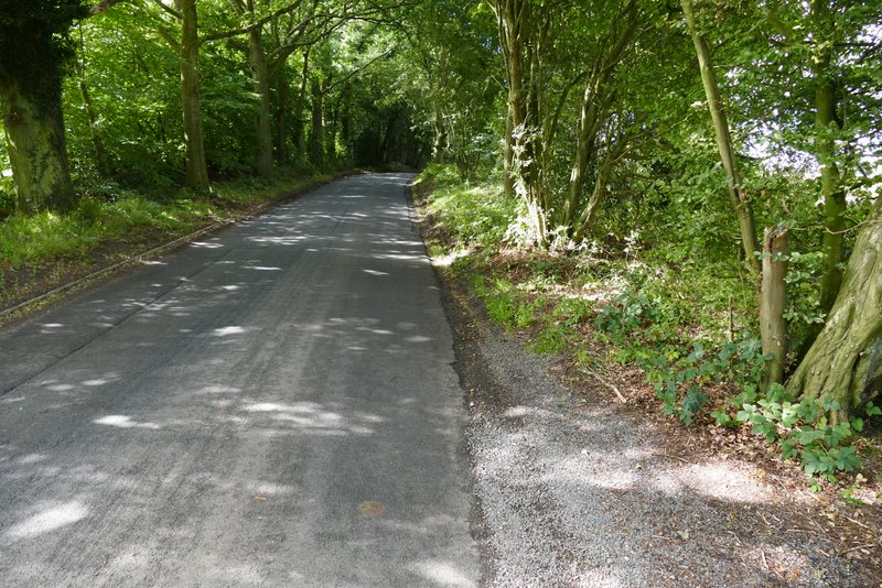
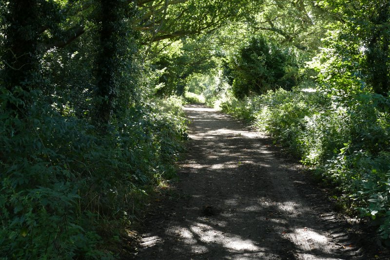
I parked on the road in Jockey End (the main settlement of Gaddesden Row) by the entrance to a small playground (immediately after the last house on the left, heading southwest towards Hemel Hempstead - grid reference TL 042137). I started walking about 10am, taking the footpath through the playground which continued on past some houses and garages on my left, and then dropped downhill to reach a tree lined track named Dean Lane. I turned right here, and followed the track for a few hundred yards until it reached a road.
The path from Jockey End
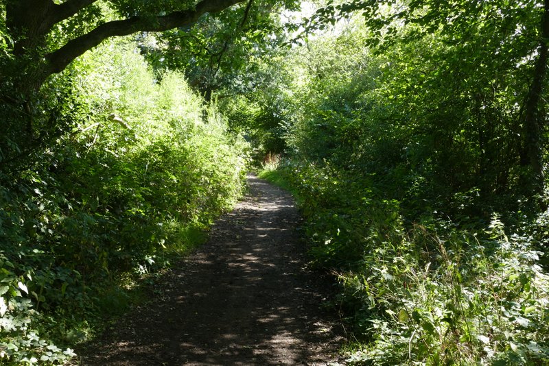
Dean Lane
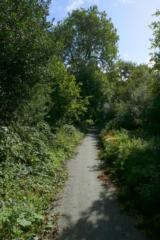
Dean Lane
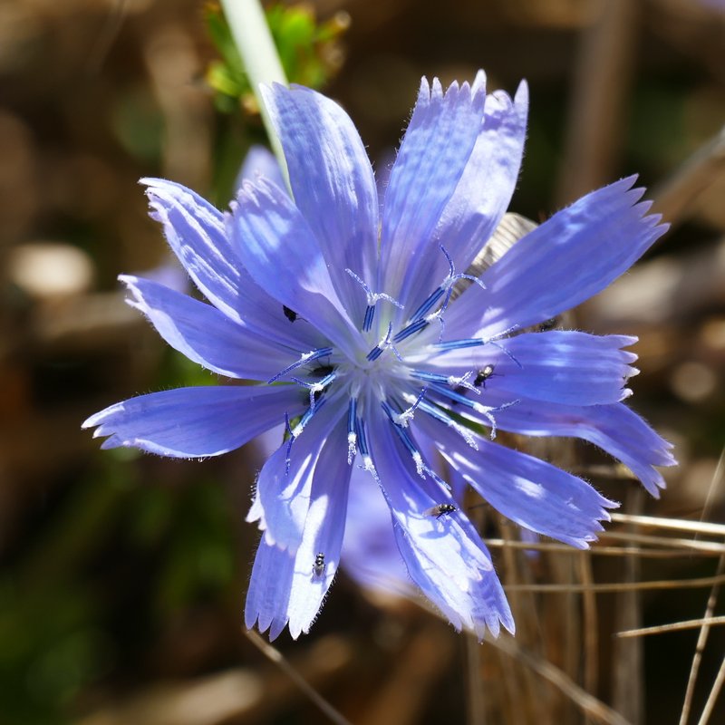
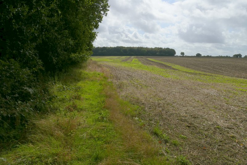
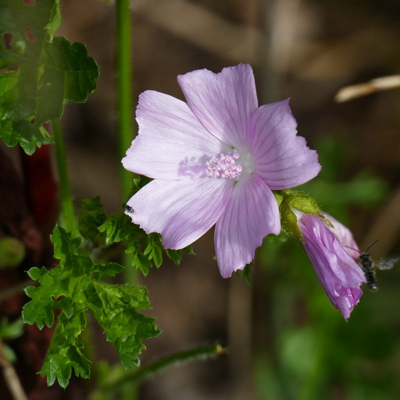
I crossed the road and continued gently uphill along a byway through Babies Wood. Beyond the wood the byway flattened out and ran between hedges with several mature trees. The byway then continued beside Newland's Wood on my left, and then at the end of this wood continued between old hedges again. I soon came to a point where the byway turned half-right (to shortly end by Gaddesden Row School), but I took a footpath going left (I'd passed another path going left shortly before this) that followed a hedgerow on the left (there is a permissive footpath on the other side of the hedge). I spotted some Musk Mallow along here, and also a Small Copper butterfly. On reaching a minor road, I went a short way to the right, and then turned left along a bridleway, initially with Teakettle Wood on my right. On reaching Upper Wood Farm, I turned left on a path that soon reached a gate and continued slightly downhill through a paddock (keeping just left of a line of telegraph poles). The path then crossed a field to reach a corner of Puddephat's Lane.
Babies Wood
The byway continuing from Babies Wood towards Newland's Wood
The byway passing Newland's Wood
The byway passing Newland's Wood
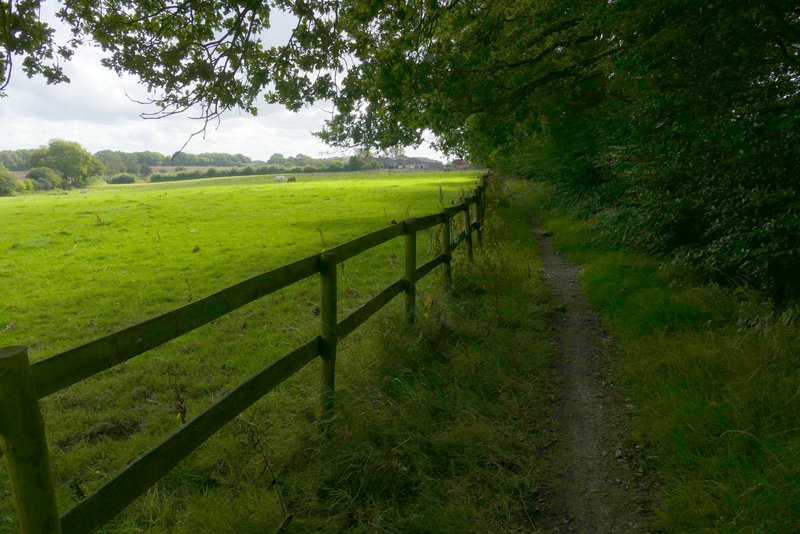
The public footpath after I turned left from the byway (here is a permissive bridleway on the other side of the hedge), heading towards the minor road
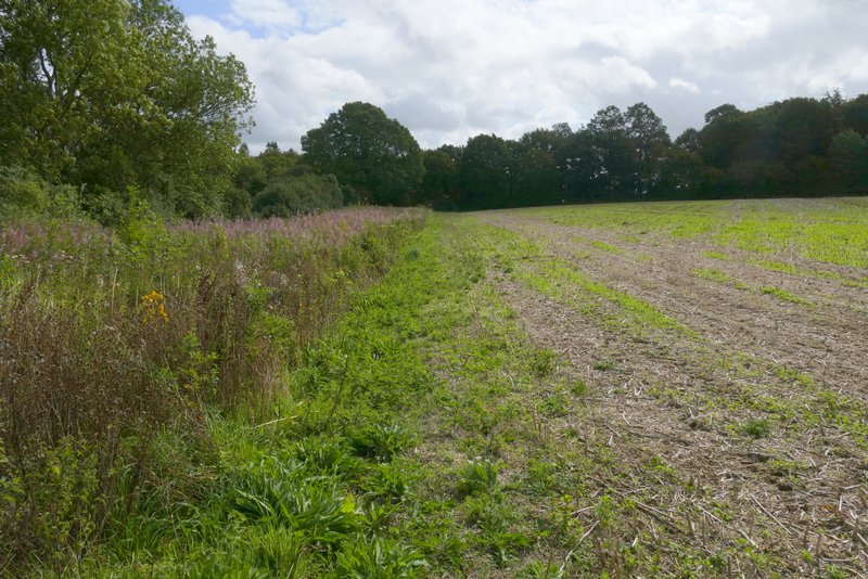
The public footpath after I turned left from the byway
The minor road
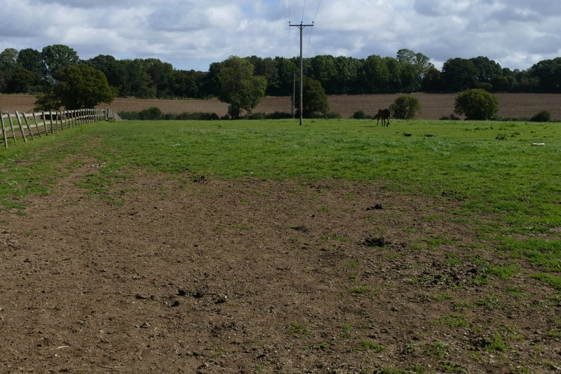
The bridleway to Upper Wood Farm
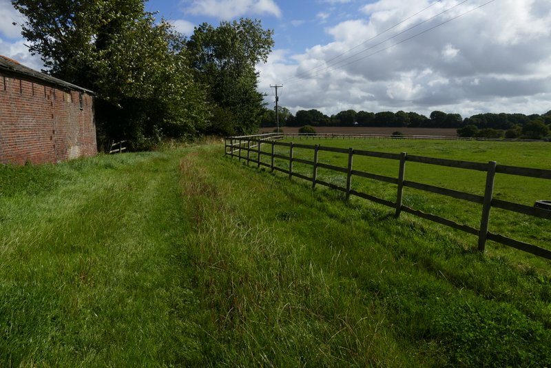
The start of the path from Upper Wood Farm to Puddephat's Lane
The path from Upper Wood Farm to Puddephat's Lane
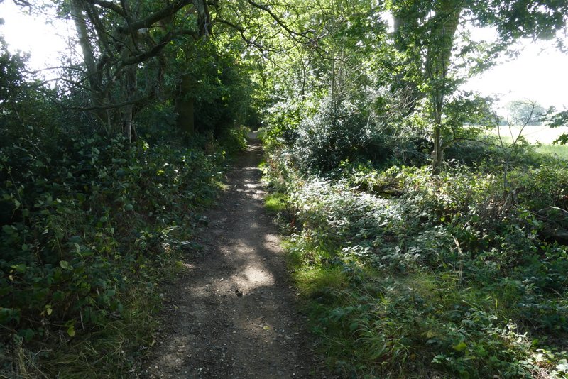
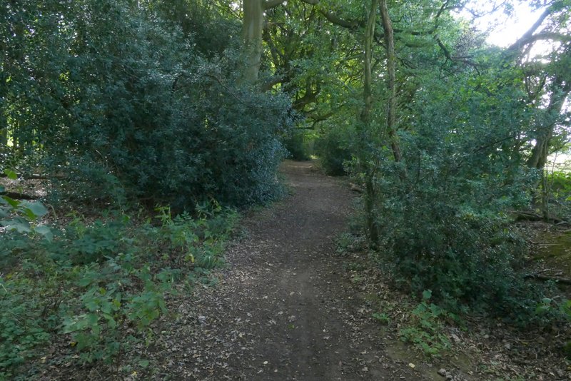
I turned right along another byway here, immediately passing Puddephat's Farm on my left. The byway continued between hedges and after a few hundred yards turned left. I then started the shortcut for today's walk by taking a footpath going right, which was a path I'd never walked before. Rather curiously it went straight out to a seemingly random point in the middle of a large field and then turned right (at a post with a waymark) - I can only assume this large field used to be a number of smaller fields, and the right of way was following the course of some hedgerows that have been grubbed up.
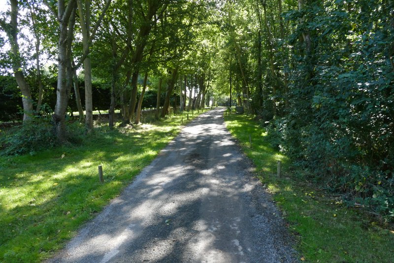
Near the start of the byway from Puddephat's Lane to Nirvana
The byway from Puddephat's Lane to Nirvana
The byway from Puddephat's Lane to Nirvana
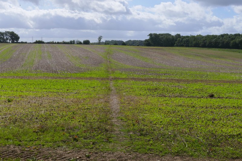
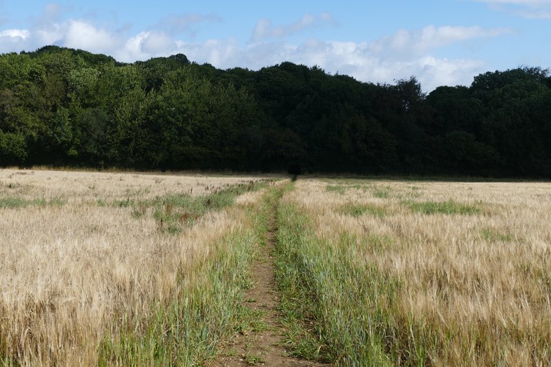
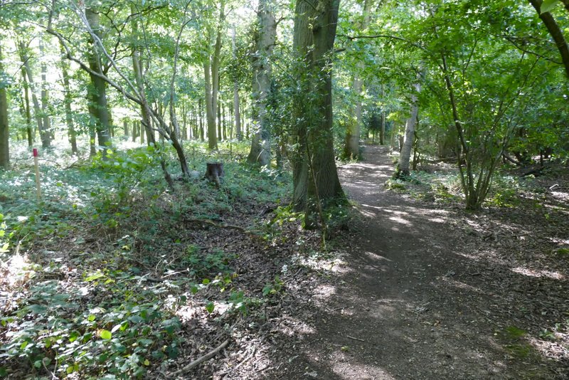
The footpath after I turned right (a new path for me)
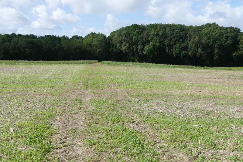
The footpath after it turns right in the middle of a large field