Pete's Walks - Stoke Row, Satwell, Nettlebed (page 1 of 5)
If you are considering walking this route yourself, please see my disclaimer. You may also like to see these notes about the maps and GPX files.
I did this circular walk of about 9.6 miles on Saturday, 16th September 2023. It was a much shortened version of a route I walked in February 2019. Much of that route had been new to me, and so the majority of today's route I was walking for only the second time. The 'shortcut' I used (between English Lane and Cox's Lane) involved a path I'd never walked before.
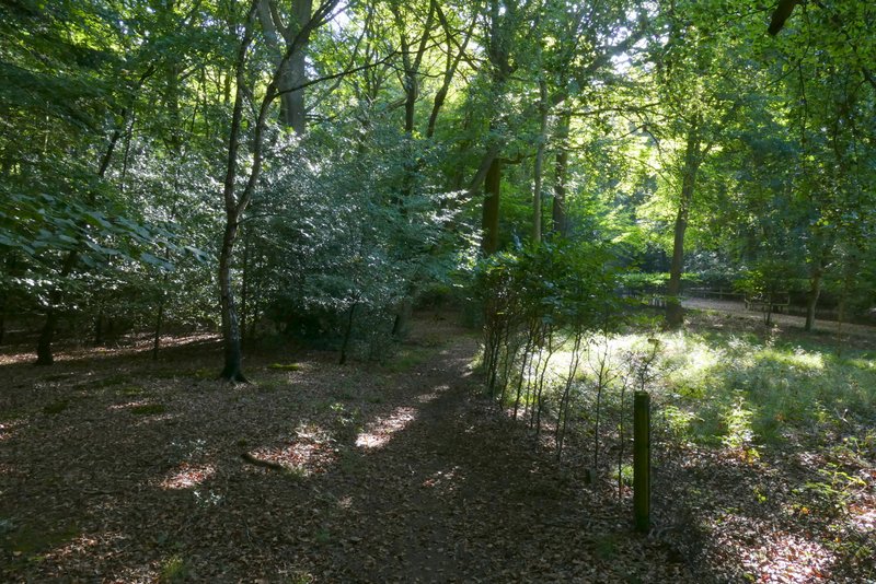
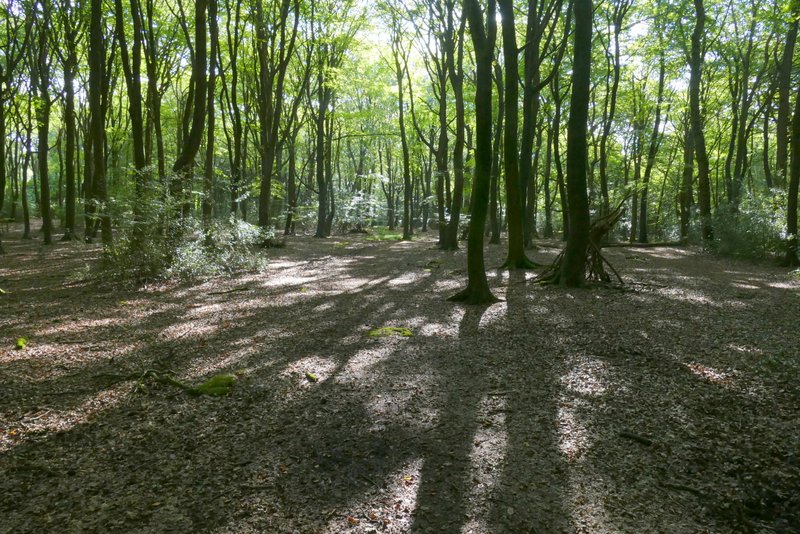
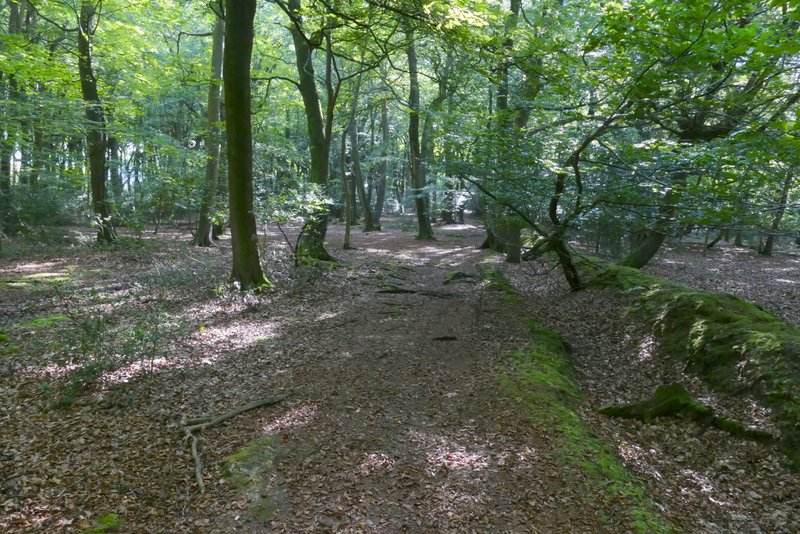
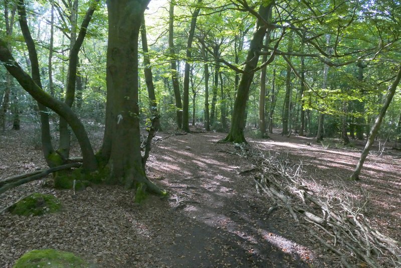
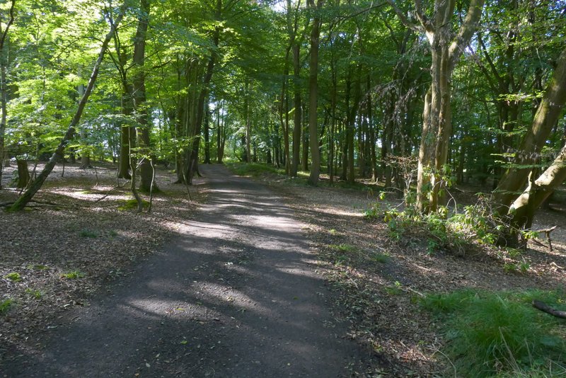
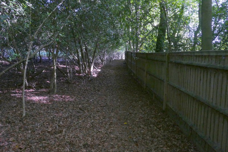
I parked in Stoke Row by the Maharajah's Well (Grid Reference SU 679841) and started walking just before 10.00am (I'd managed to set off from home about half an hour earlier than usual). I walked along the road (with the well on my right) and turned left into a side street immediately before the village church. After two or three hundred yards, I turned left down an alley (before the last pair of houses). This continued as a path along the southern edge of Stoke Row, soon entering a small wood and eventually reaching Busgrove Lane. On the other side of the lane I continued through Common Wood (there was a sign next to the lane, I think I'd previously thought this was part of Busgrove Wood). The path through the trees was quite straightforward, the way marked by white arrows as usual. After about a quarter of a mile (shortly before I would have reached a lane) I reached a waymark post, where I took another path going right - somewhere as I followed this short path I moved from Common Wood into Busgrove Wood. On reaching a track I turned right. Beyond the wood the track continued for another quarter of a mile or so between fields until it crossed Neal's Lane.
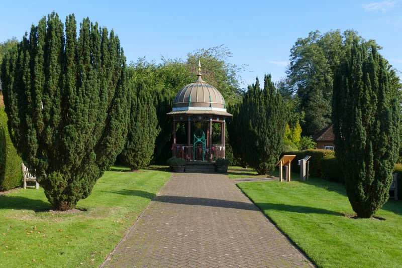
The Maharajah's Well at Stoke Row
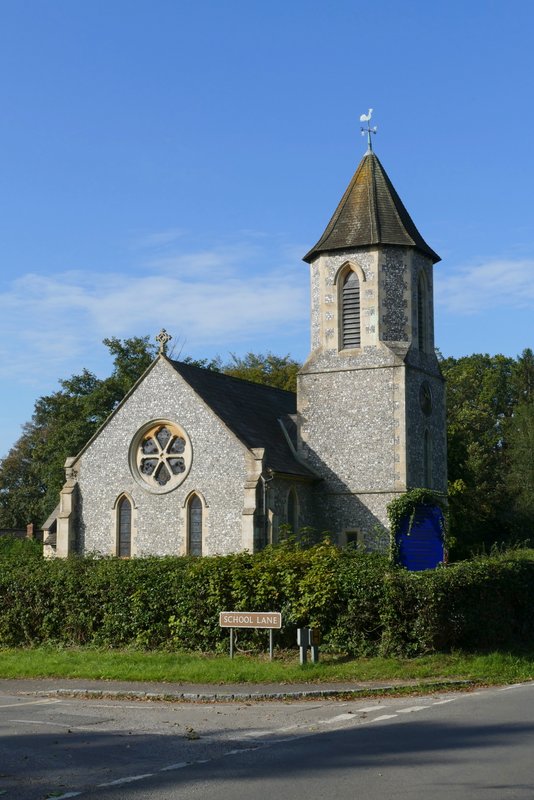
Stoke Row church
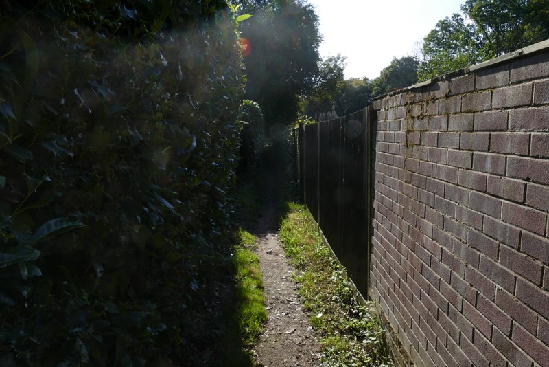
The path along the southern edge of Stoke Row, going to Busgrove Lane
The path along the southern edge of Stoke Row, going to Busgrove Lane
The path along the southern edge of Stoke Row, approaching Busgrove Lane
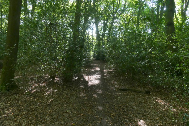
The path after crossing Busgrove Lane, in Common Wood (I previously thought this was part of Busgrove Wood)
The path continuing through Common Wood
The path after I turned right in Common Wood (this path soon enters Busgrove Wood)
The track after I turned right in Busgrove Wood
The track continuing from Busgrove Wood
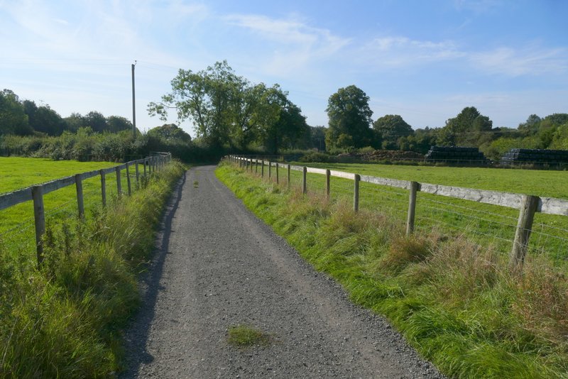
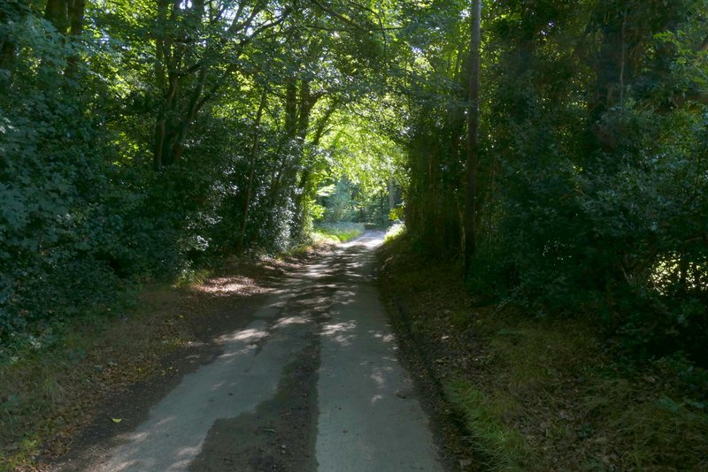
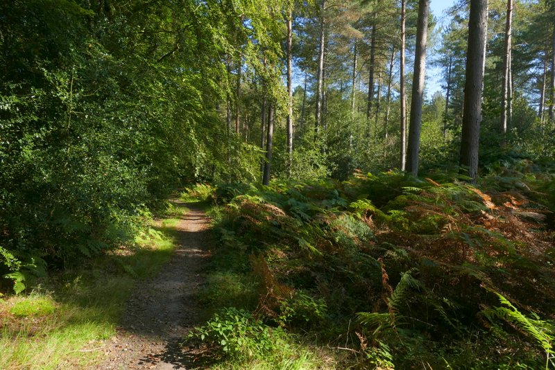
I turned left along Neal's Lane. The lane initially ran between holly hedges, passing a few properties, then continued through a wood. The lane ended at a T-junction, across which I continued along a path that started beside a garden fence to my right. It continued along a fence through a wood called Burnt Platt (although that may only be the name of the central part of a number of woods, but there are no other names on the OS map). Shortly after the fence ended, the public footpath turned left at a path crossroads - for a while there were then conifers on my right. After a while the path crossed a drive, then after about another hundred yards or so I turned sharply right onto a bridleway.
Neal's Lane
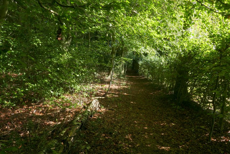
The path through Burnt Platt (at least that's the nearest name on the OS map)
The path through Burnt Platt
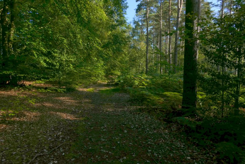
The path through Burnt Platt (after going left at an apparent crossroads)
The path through Burnt Platt (just after crossing the drive
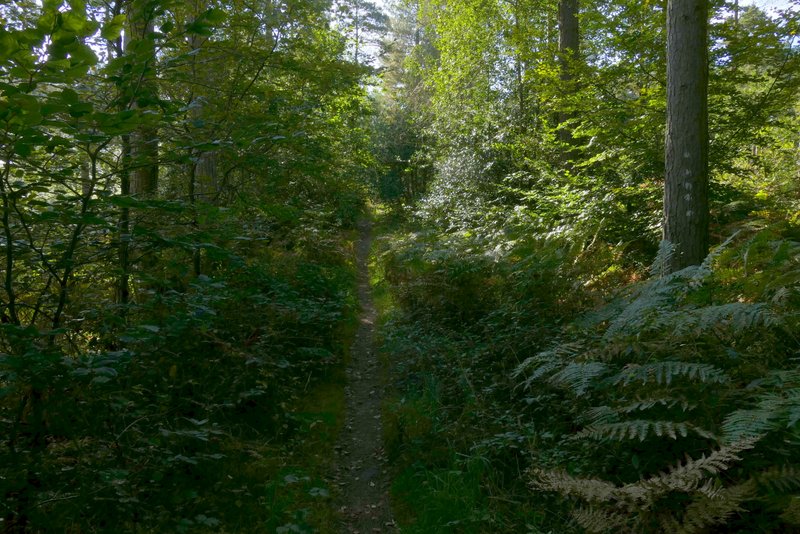
The bridleway after I turned sharply right in Burnt Platt