Pete's Walks - Cadmore End, Horsleys Green, Twigside Bottom (page 3 of 4)
If you are considering walking this route yourself, please see my disclaimer. You may also like to see these notes about the maps and GPX files.
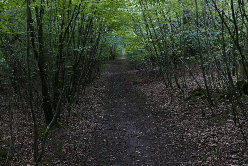
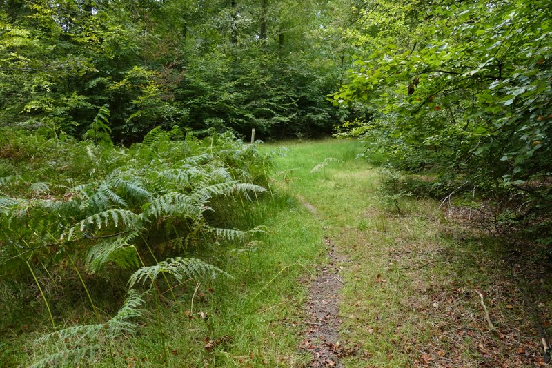
At a path junction just inside East Wood (I'd forgotten it was so near this edge of the wood), I found the arrows and waymarks a little confusing. I had to turn right for a few yards and then turn left (hopefully the first photo below will help anyone coming this way). I was now back on a familiar path, though I was surprised at how soon the gently descending path reached a valley bottom. Here the path turned sharply left for a few yards, then went half-right. The path was then very clear as it then continued through the wood for over half a mile (the latter part of the path seems to have been re-routed it used to fork right from the obvious path for a few hundred yards and then rejoin it). Eventually the path entered an open area with brambles ahead and to the right. I could just see a footpath finger post above the brambles, and managed to find a path through the brambles to reach it. I then followed a short drive uphill to a road.
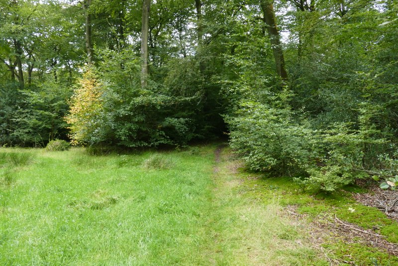
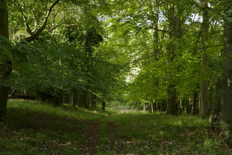
The footpath after I turned left at a junction just inside East Wood
The footpath in East Wood
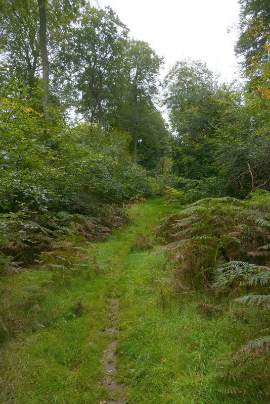
The footpath as it reaches the valley bottom where it turns sharply left
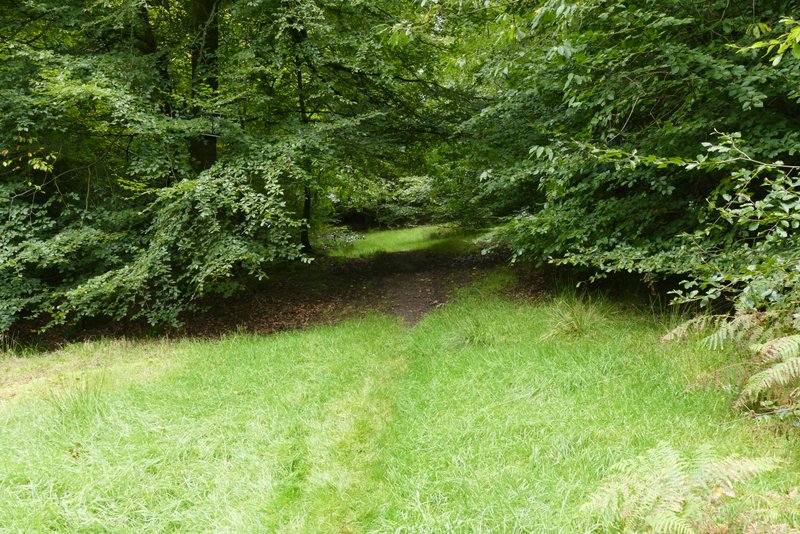
The path after it then quickly turns half-right from the valley bottom
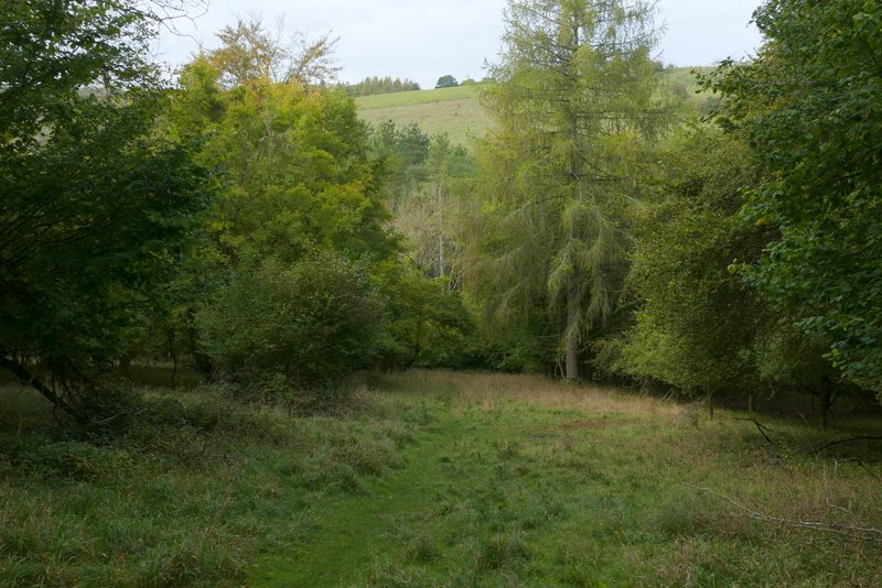
The path through East Wood

The path through East Wood
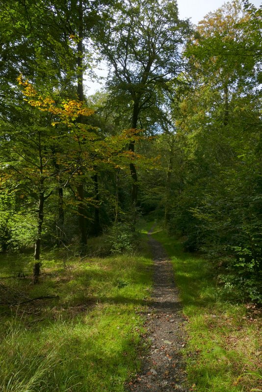
The path through East Wood
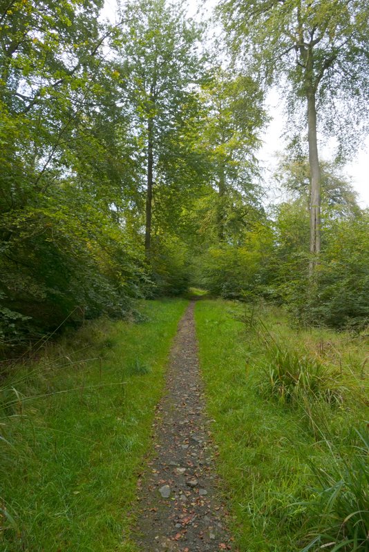
The path through East Wood
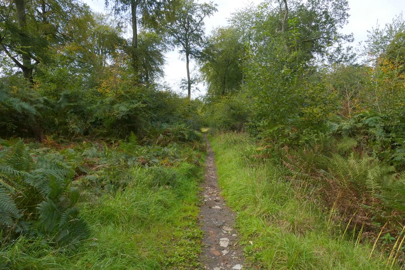
The path through East Wood
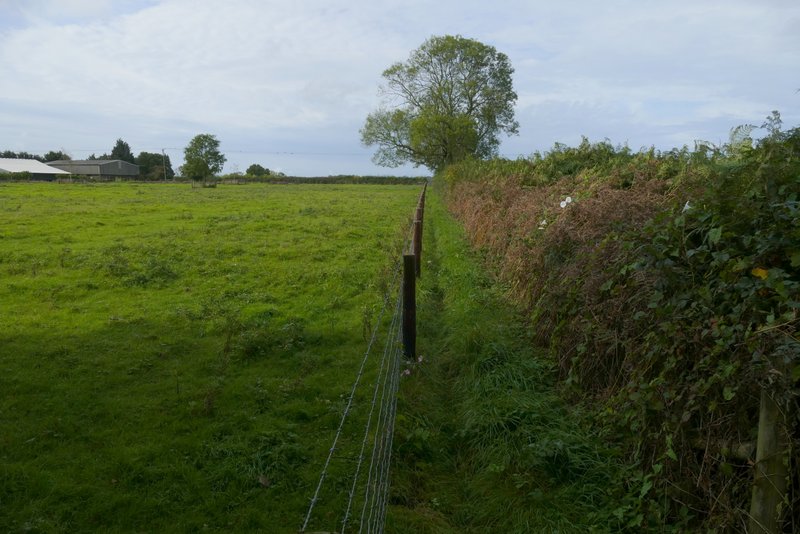
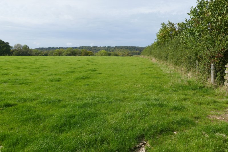
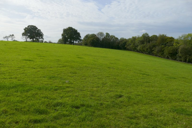
I turned left along the road, which almost immediately crossed the M40 motorway. I then turned right onto a footpath that descended a flight of steps and continued between a barbed wire fence and a hedge on my right, passing a field at Penley Farm. The path then went through two gates in quick succession, then continued along the right edge of an empty cattle pasture. On reaching a fingerpost, I turned left and crossed the field to a metal gate on the other side. The path immediately turned right, and dropped down quite steeply through Penley Wood into a valley called Twigside Bottom (I assume the whole valley bears that name, not just where it's so named on the OS map). I turned left onto a footpath along a track in the valley bottom, soon passing two junctions where other footpaths went off to my right.
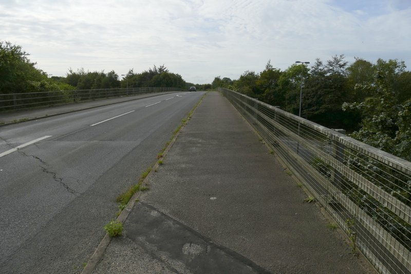
The road crossing the M40
Start of the footpath after I turned right from the road, near Penley Farm
Further along the path, where it follows a hedge on the left as far as a fingerpost ...
.. where it turns left across the field (to just below the tree in the centre that has no leaves)
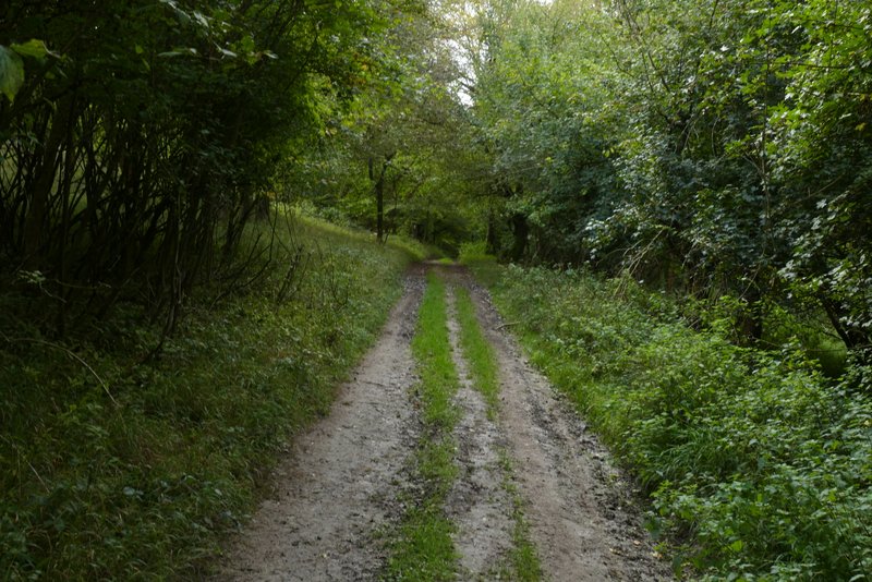
The path descending into Twigside Bottom
The path descending into Twigside Bottom
The path along Twigside Bottom
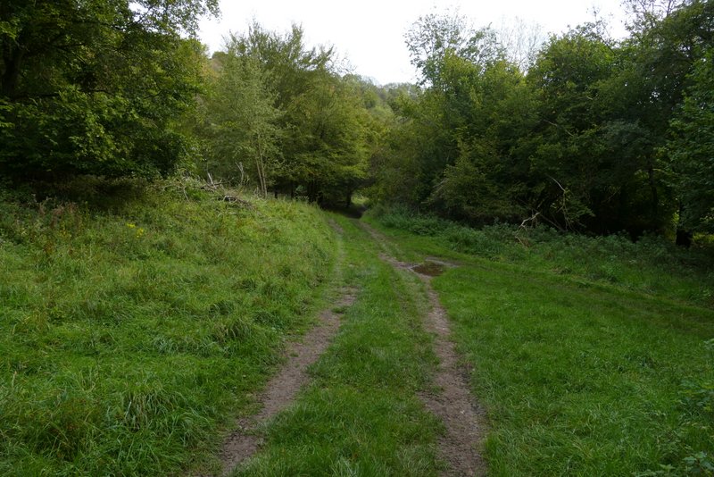
The path along Twigside Bottom (where the second of two paths goes right)