Pete's Walks- Cadmore End, Horsleys Green, Twigside Bottom (page 4 of 4)
If you are considering walking this route yourself, please see my disclaimer. You may also like to see these notes about the maps and GPX files.
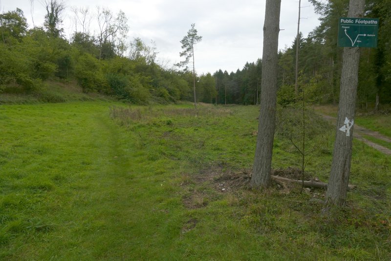
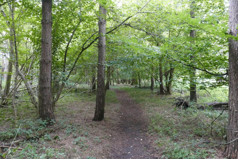
After a while I forked slightly left along a second track that ran parallel to the first track for a hundred yards or so before rejoining it (this second track used to be just a faint path). I then immediately reached an open grassy area, where I came to a junction where another footpath 'crossed' the track. The path I was following 'straight on' forked slightly left from the track here, while the crossing path followed the track for a hundred yards or so before turning half-right (a sign on a tree explained this, I already knew what I needed to do because I went wrong here once, many years ago). After another half mile or so the path along the valley bottom crossed a drive, near some farm buildings to my left. A short distance further on, the path merged with a bridleway coming in sharply from the right. I continued straight on along the bridleway, which continued to follow the same valley bottom.
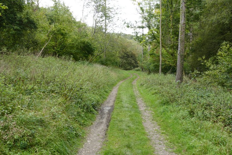
The path along Twigside Bottom
The path along Twigside Bottom (where it briefly runs parallel to the main track, which is to the right)
The path along Twigside Bottom, back on the main track
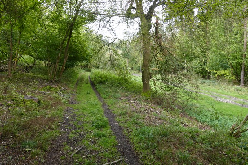
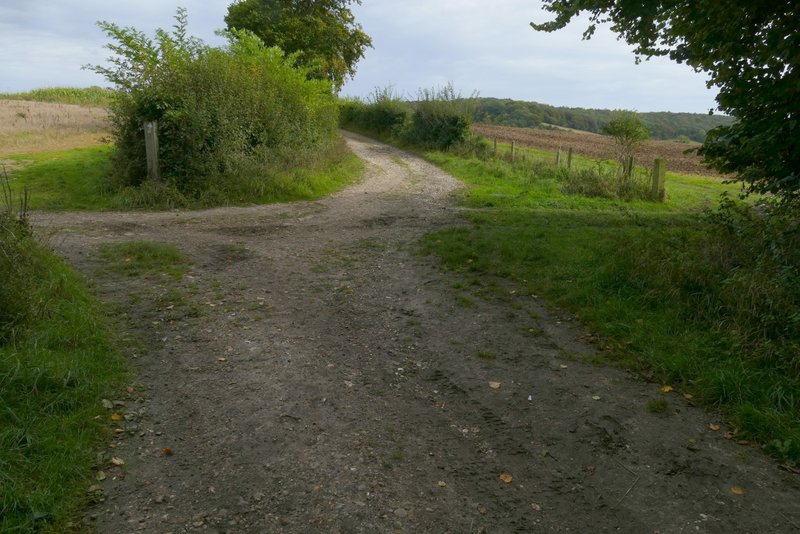
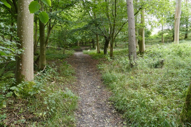
The path along Twigside Bottom, where it appears to fork left (actually it's going straight on at a paths crossroad but leaving the main track, where the path going right briefly follows the main track)
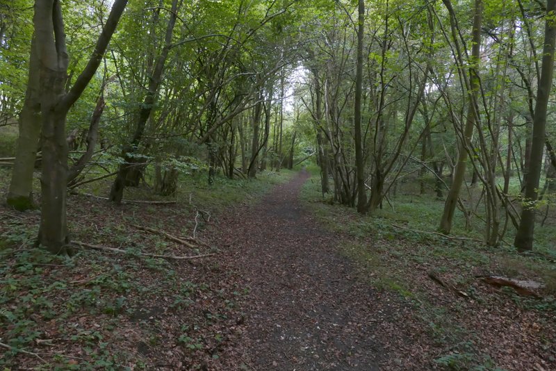
The path along Twigside Bottom
The path along Twigside Bottom
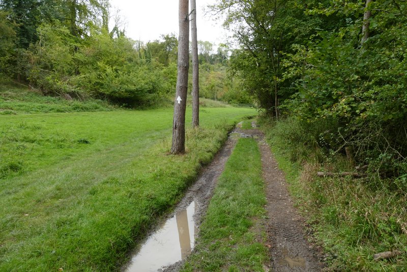
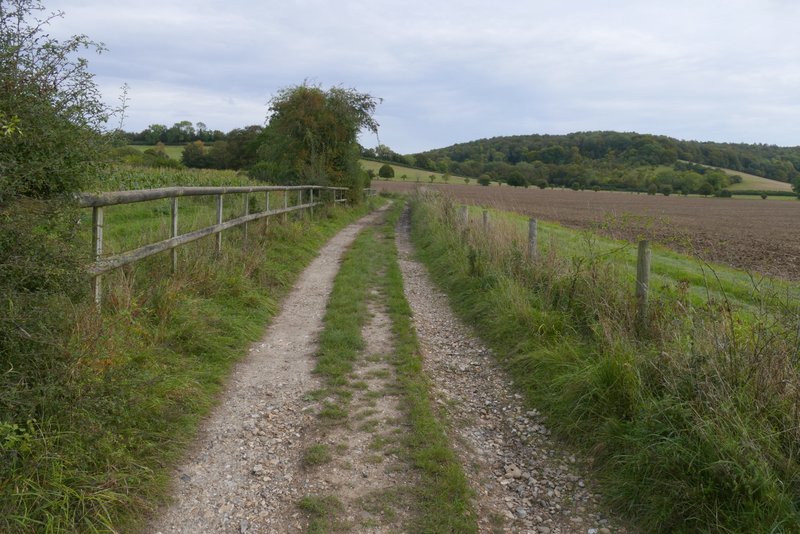
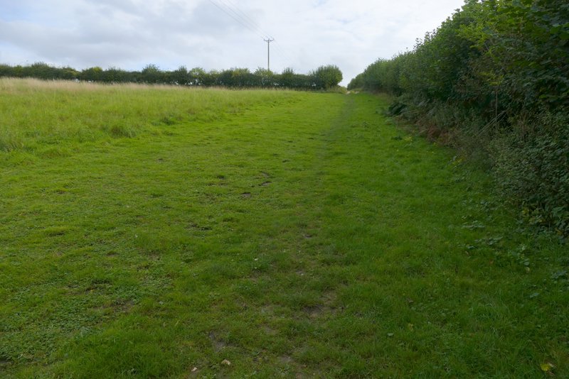
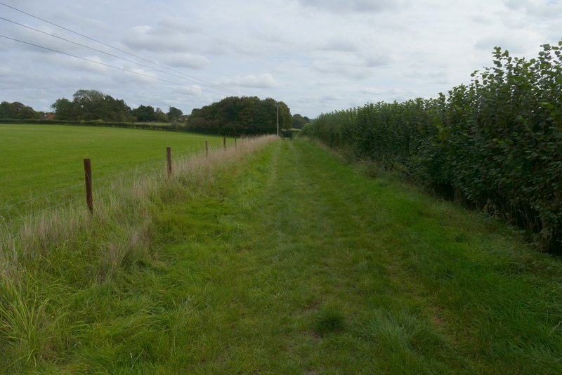
The bridleway along Twigside Bottom
The bridleway along Twigside Bottom
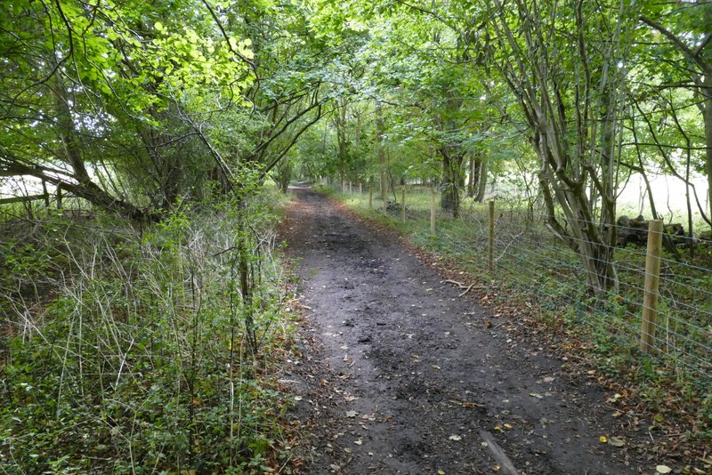
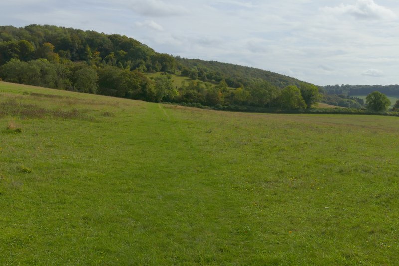
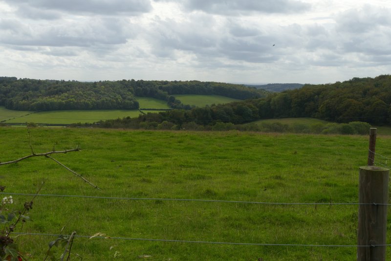
After another quarter of a mile or so, shortly after a bridleway went off to the right, I turned left along another bridleway that followed a track heading to Harecramp Cottages. After another quarter of a mile, immediately after the field to my right ended and just before I would have reached the cottages, I turned right through a metal kissing-gate in the hedge. I then followed a faint path through a large empty sheep pasture, which sloped gently up to my left, to reach Chequers Lane on the far side. Across the lane a bridleway continued, running alongside Hanger Wood on my right. The bridleway started quite level, then gradually began to rise gently uphill, steepening a bit just before reaching the end of the wood. On leaving the wood, the bridleway turned right and followed a hedgerow on my right, still uphill but levelling out after two or three hundred yards. The bridleway was now on a farm track. After a few hundred yards, it ended at a track T-junction. I turned left here along another track, which after a few hundred yards brought me to Cadmore End (there were nice views to the right along here). I then turned left along Church Road, passing the church and then the cricket club on my right, before arriving back at my car.
The start of the bridleway to Harecramp Cottages
The bridleway to Harecramp Cottages
The path after I turned right near Harecramp Cottages
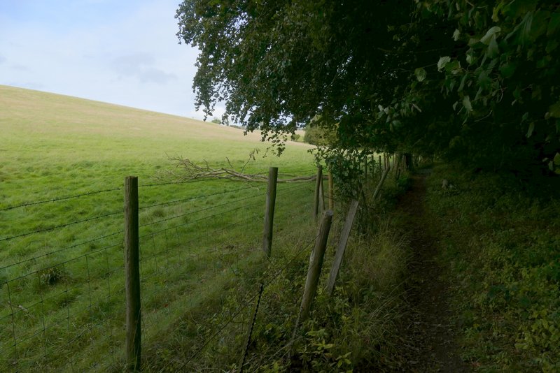
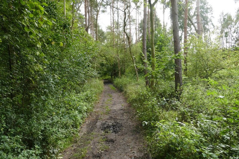
The bridleway just inside Hanger Wood after I crossed Chequers Lane
The bridleway just inside Hanger Wood
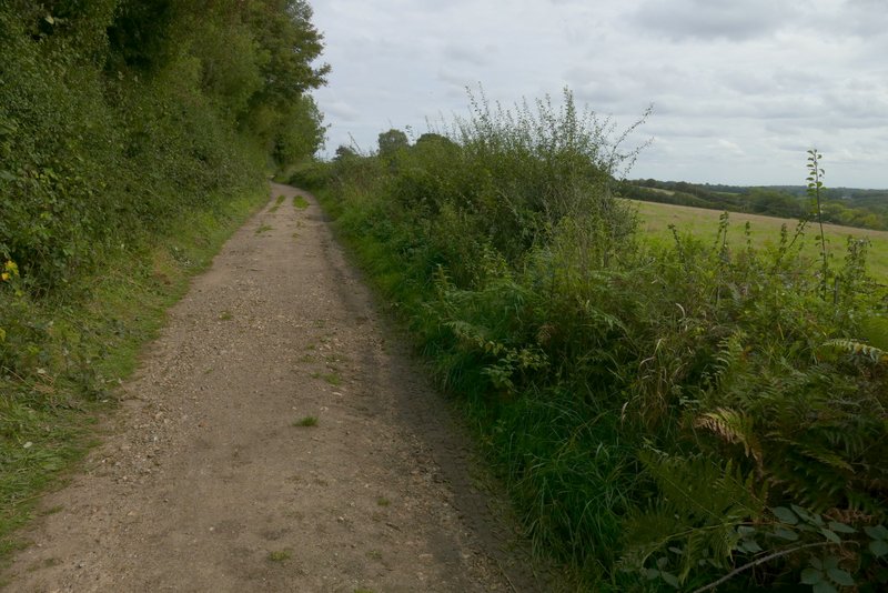
The bridleway continuing from Hanger Wood
The bridleway continuing from Hanger Wood
The bridleway into Cadmore End, after I turned left at a T-junction of tracks
View left from the bridleway, as it reaches Cadmore End
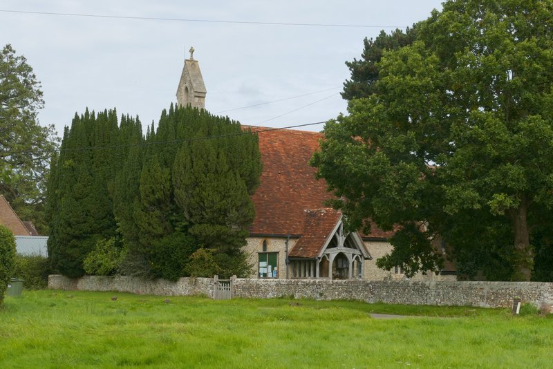
Cadmore End church
This was another enjoyable walk, that I'd be happy to do again. The stretch of bridleway in Dell's Wood that I walked for the first time was very pleasant and I may well include it in future routes.