Pete's Walks - Ivinghoe and Aldbury (clockwise) (page 1 of 4)
If you are considering walking this route yourself, please see my disclaimer. You may also like to see these notes about the maps and GPX files.
I did this walk of about 7.6 miles on Monday, 30th October, 2023. It was a repeat of a walk I did in March, but in the opposite direction (clockwise). There would be one path (between Ivinghoe and Ivinghoe Beacon) that I'd not walked in this direction before, and another (heading into Aldbury) that I'd only walked once before in this direction.
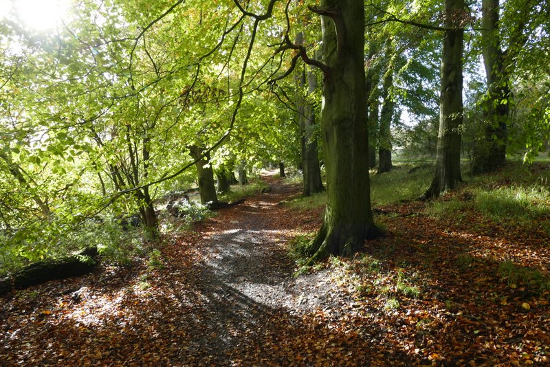
I parked at the main car park for Ivinghoe Beacon (grid reference TL 963160), and started walking about 9.35am. I walked through the car park with the road to my right, and continued along a path parallel to the road, through some beech trees. At the end of the trees I went half right, crossing a chalky track and then the road, continuing to a small parking area. I then turned half-right again along a track - this is the main track from Ivinghoe Beacon to the Bridgewater Monument in Ashridge, but I would only be walking part of it today. The track started with a field on my left and a wood to my right. At the end of the field, the track curved left, now with the woods of Ashridge on either side. After going past a cattle grid, there were some nice beech trees beside the track. After following the track for about half a mile I came to Clipper Down, where there was a nice view on the right to the wooded hill of Aldbury Nowers, where I'd be later on.
The footpath from the Ivinghoe Beacon car park, beside the road to my right
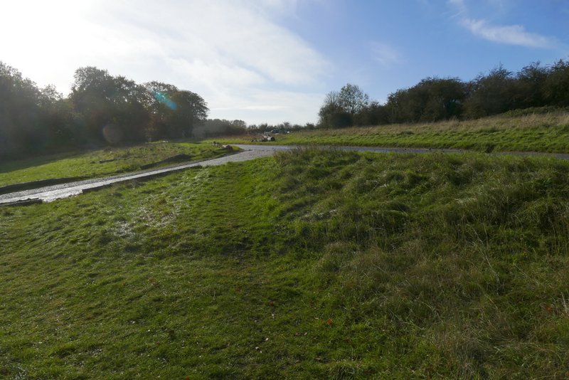
Where I crossed the road - I walked roughly straight on through the middle of this shot
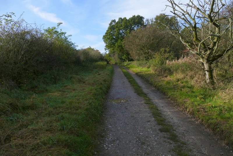
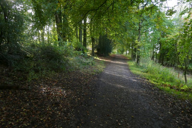
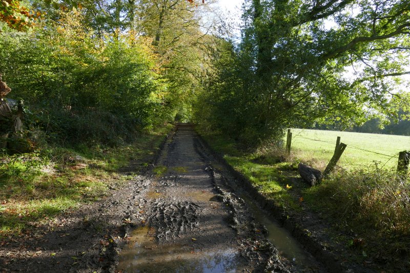
The start of the track that goes to the Bridgewater monument in Ashridge
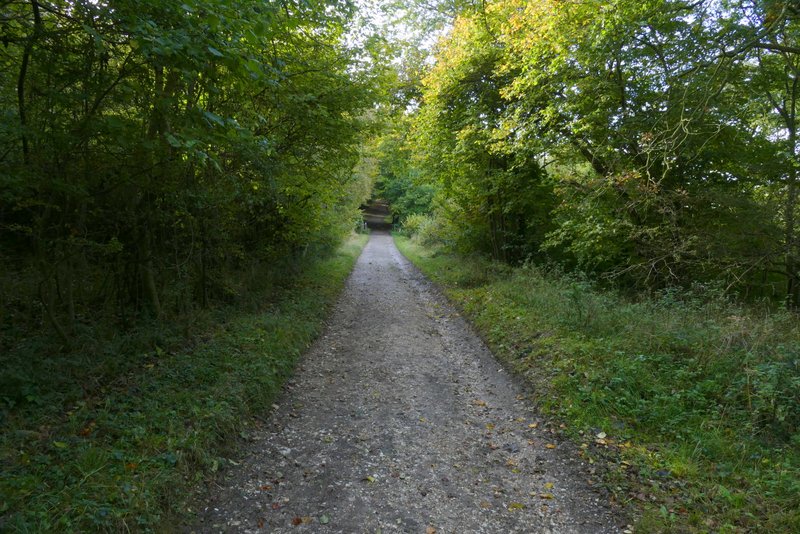
The track that goes to the Bridgewater monument in Ashridge
The track that goes to the Bridgewater monument in Ashridge
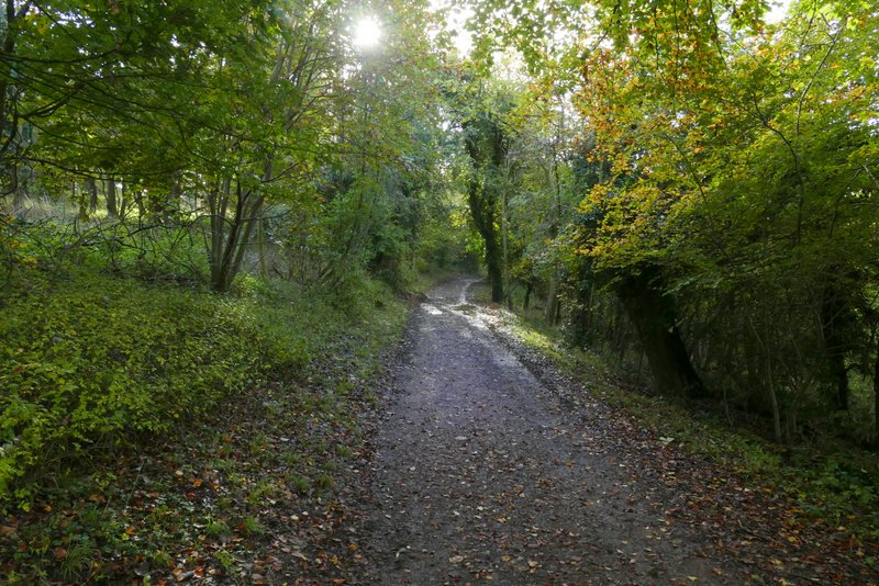
The track that goes to the Bridgewater monument in Ashridge
The track that goes to the Bridgewater monument in Ashridge
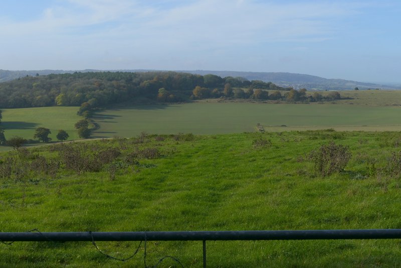
View right from Clipper Down - the wooded hill is Aldbury Nowers, where I would be later on
I continued past the kennels on Clipper Down, and briefly had fields to my right, before the woods started on that side again. Two or three hundreds yards later I came to a path crossroads, where I turned right. This path dropped downhill through the woods to reach a metal kissing-gate. The path then continued beside the woods on my right, dropping gently downhill through an empty cattle pasture. Through another kissing-gate, the path gradually moved away from the woods as it descended across another field to reach the drive to Duncombe Farm. From the drive the path continued half-left across a ploughed field, turning half-right at the far hedgerow to cross a second, smaller, ploughed field.
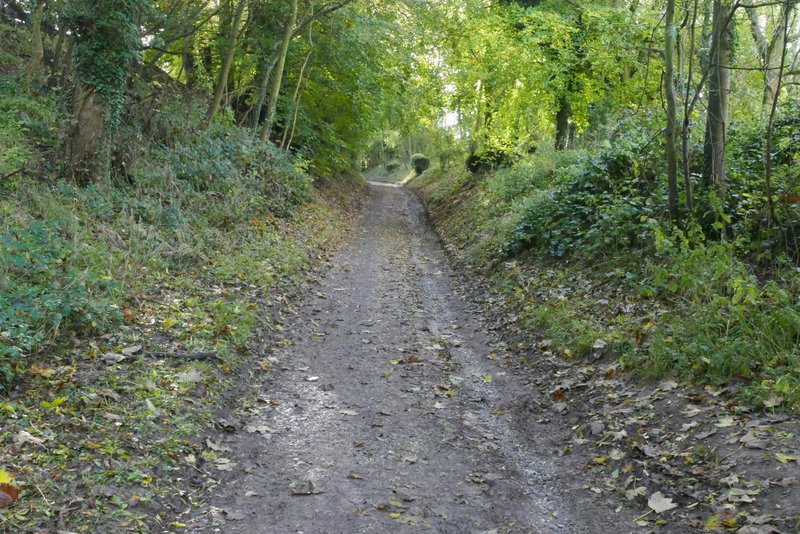
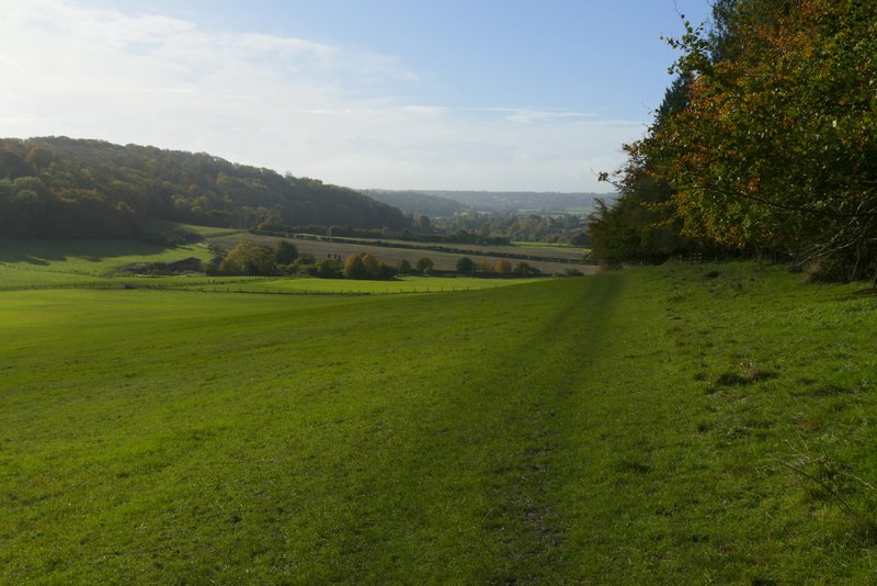
The track that goes to the Bridgewater monument in Ashridge, just after the kennels on Clipper Down
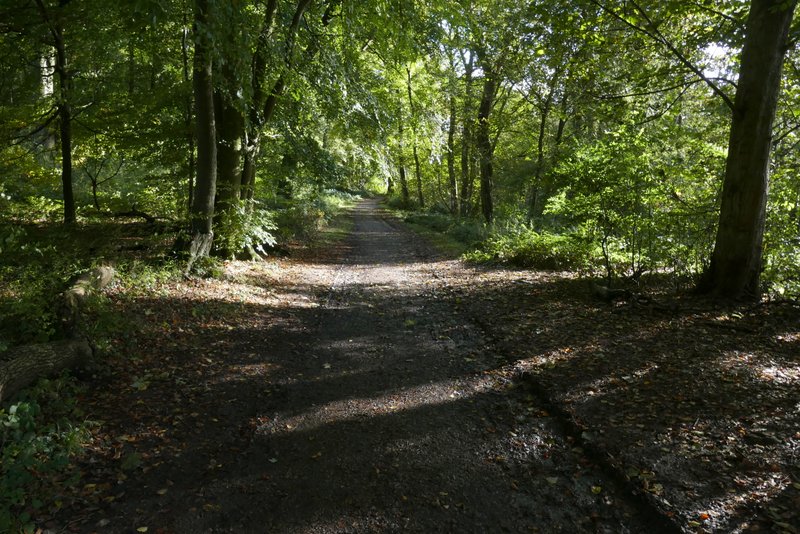
The track that goes to the Bridgewater monument in Ashridge
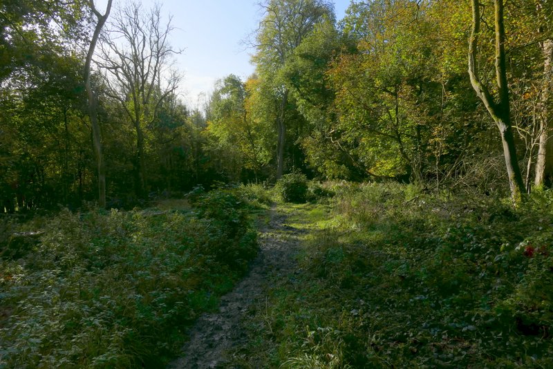
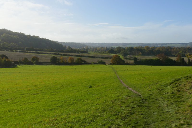
The start of the path where I turned right from the track at a path crossroads
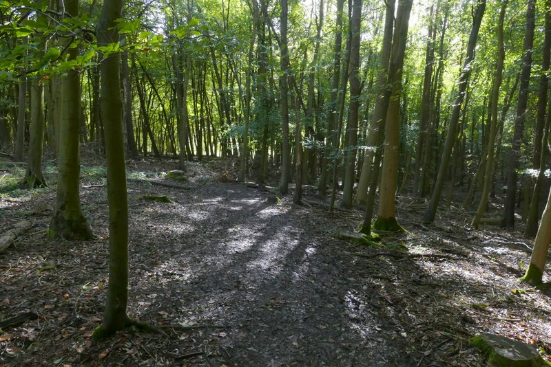
The same path dropping downhill through the wood
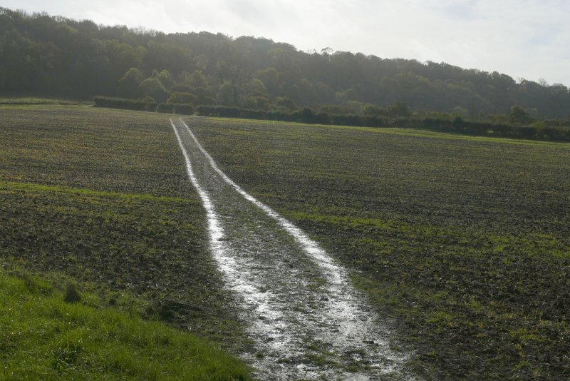
The same path continuing from the wood, towards the drive to Duncombe Farm
The same path continuing from the wood, towards the drive to Duncombe Farm
The path after crossing the drive to Duncombe Farm
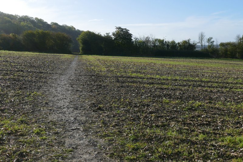
The path after crossing the drive to Duncombe Farm