Pete's Walks - Ivinghoe and Aldbury (clockwise) (page 3 of 4)
If you are considering walking this route yourself, please see my disclaimer. You may also like to see these notes about the maps and GPX files.
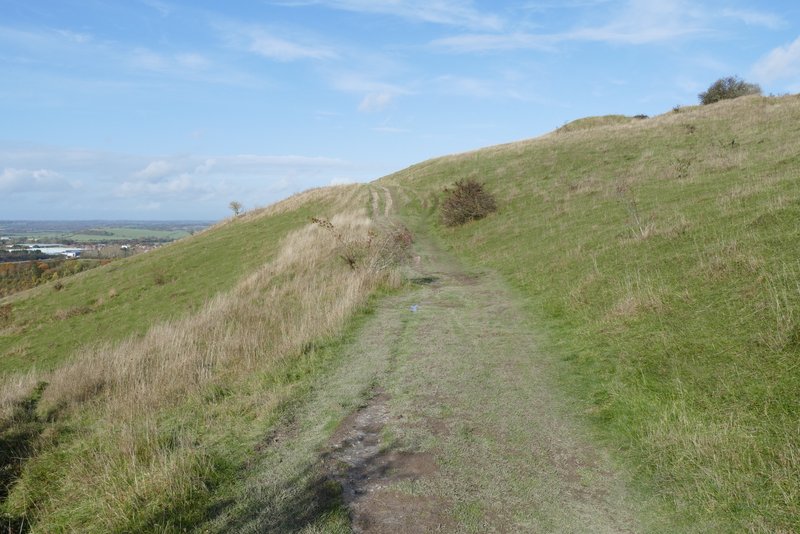
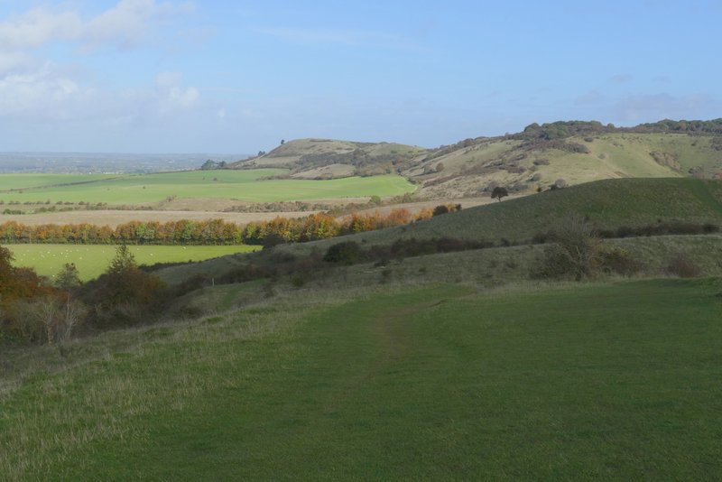
The path started by climbing a flight of 'steps', then continued through part of the Aldbury Nowers nature reserve, where there was a nice view to my left. There were a few more 'steps' as the path turned right and entered the woods on Aldbury Nowers. The path rose slightly and then levelled out as it continued through the woods for about half a mile.
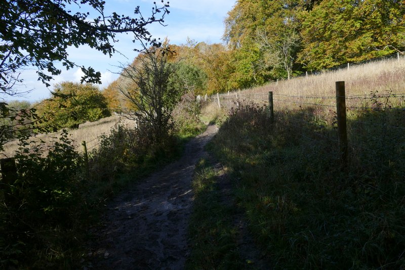
The Ridgeway passing through the Aldbury Nowers nature reserve
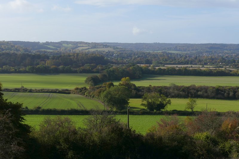
View left from the Aldbury Nowers nature reserve
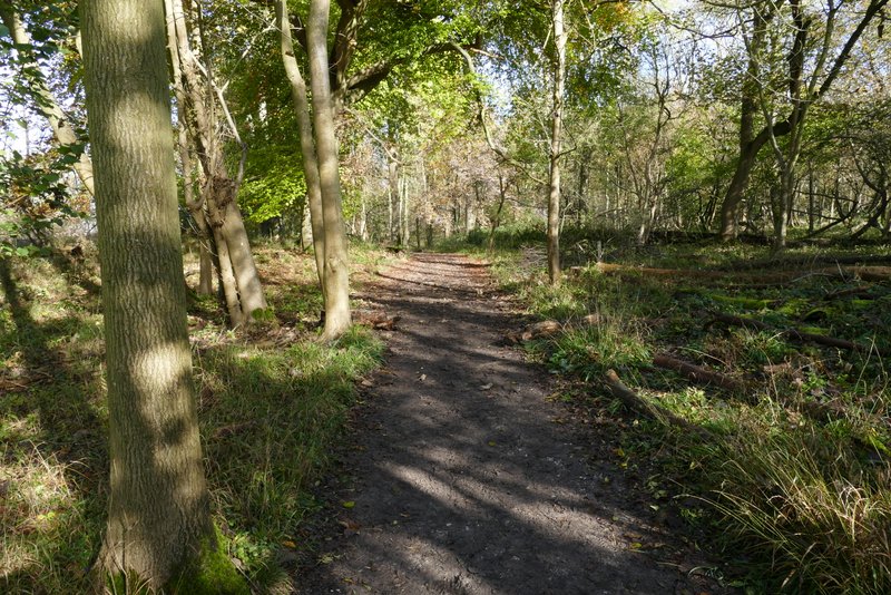
The Ridgeway running through the woods on Aldbury Nowers
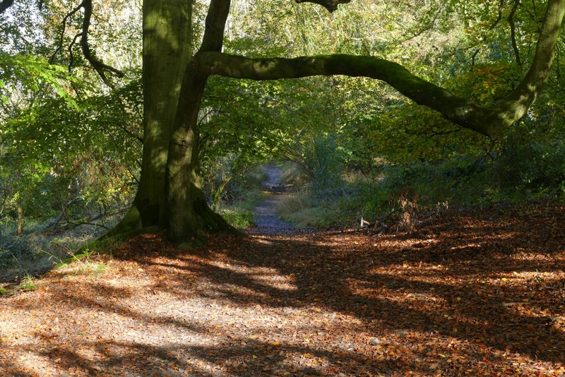
The Ridgeway running through the woods on Aldbury Nowers
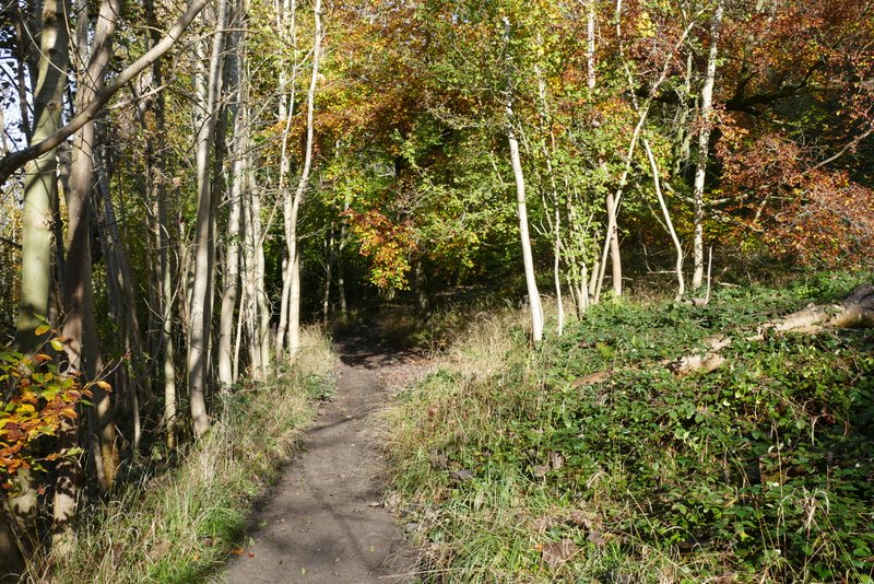
The Ridgeway running through the woods on Aldbury Nowers
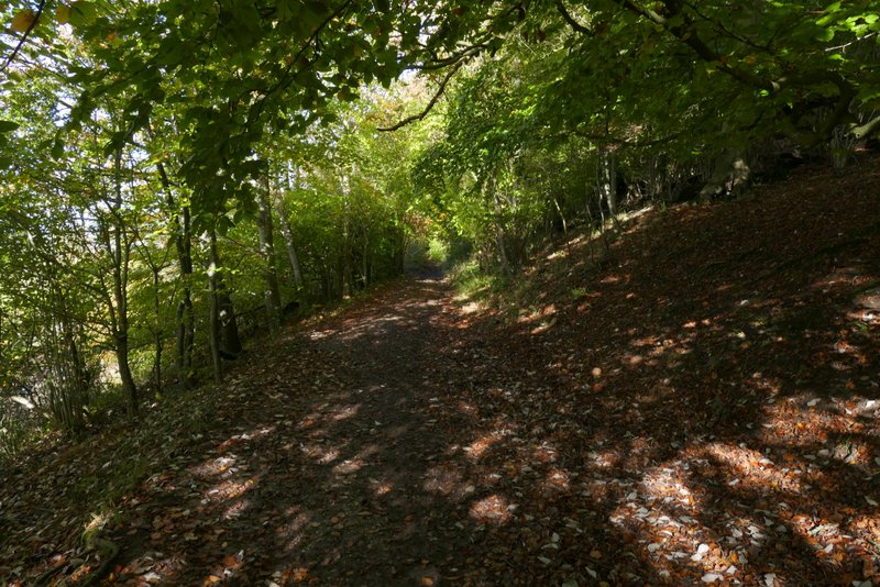
The Ridgeway running through the woods on Aldbury Nowers
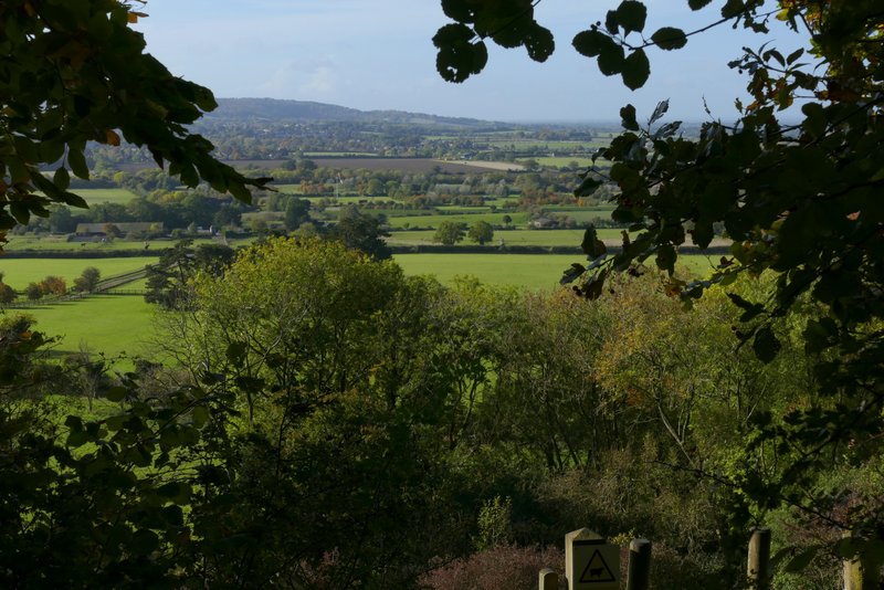
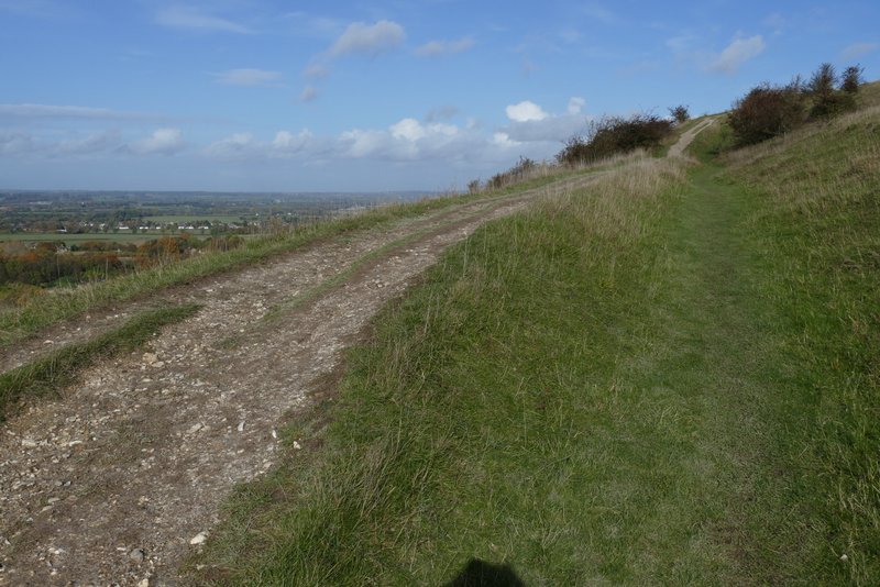
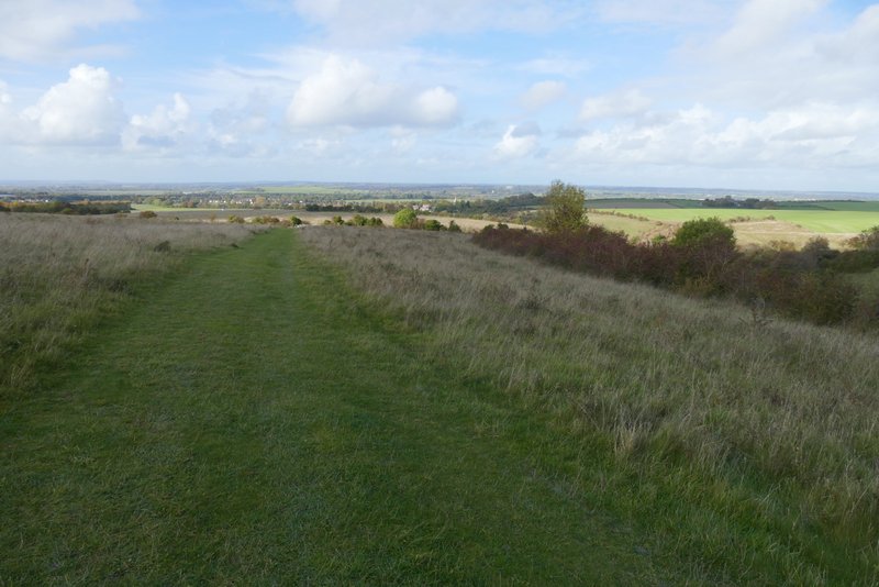
View left, looking out from the woods on Aldbury Nowers
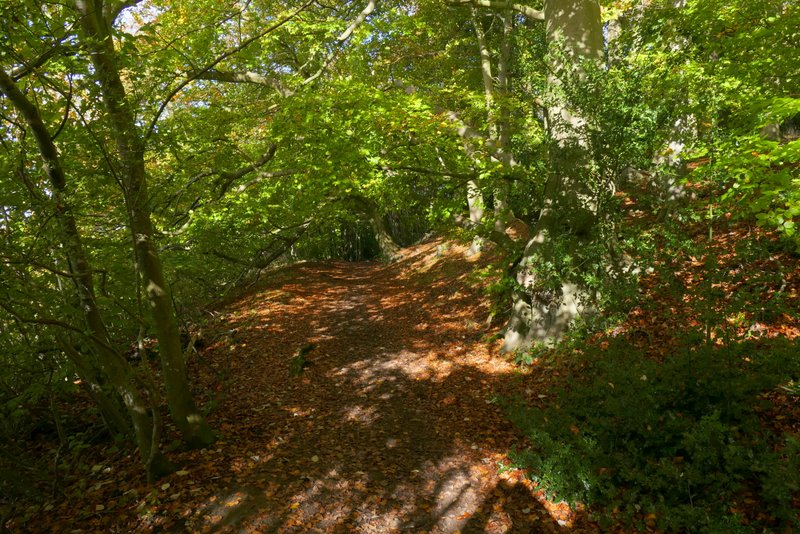
The Ridgeway running through the woods on Aldbury Nowers
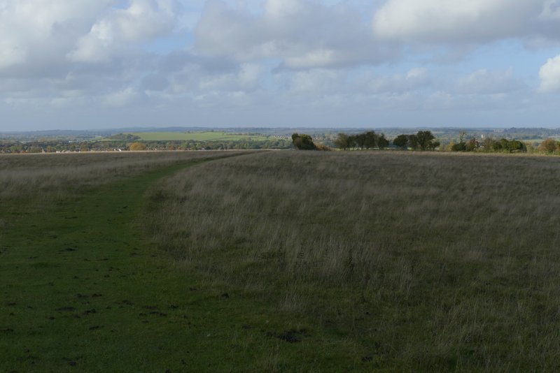
On leaving the woods at a gate, the path continued fairly gently up the slopes of Pitstone Hill, turning half-right shortly before reaching the top. After taking one or two photos of the far-reaching views over the Vale of Aylesbury I continued along the path, which ran along the flat top of the hill and then started to drop downhill - all the time there was a nice view ahead of Ivinghoe Beacon and Steps Hill. I then deviated from the Ridgeway by going up and over a hillock, rejoining it when I reached the Pitstone Hill car park. Across a lane, I continued along the Ridgeway, with a large field to my right and open grassland to my left.
The Ridgeway climbing Pitstone Hill
The Ridgeway climbing Pitstone Hill
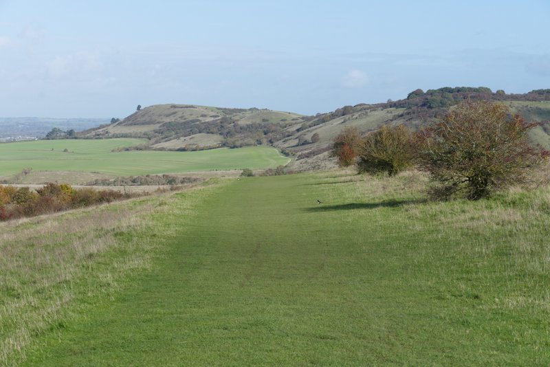
The path on Pitstone Hill, looking ahead to Ivinghoe Beacon and Steps Hill
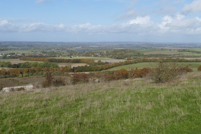
View left from Pitstone Hill
The path on Pitstone Hill, looking ahead to Ivinghoe Beacon and Steps Hill
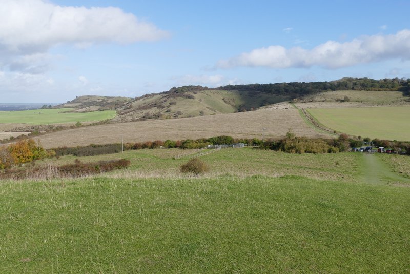
View from the hillock near the Pitstone Hill car park, looking ahead to Ivinghoe Beacon
The Ridgeway heading to Steps Hill, after crossing the lane by the Pitstone Hill car park
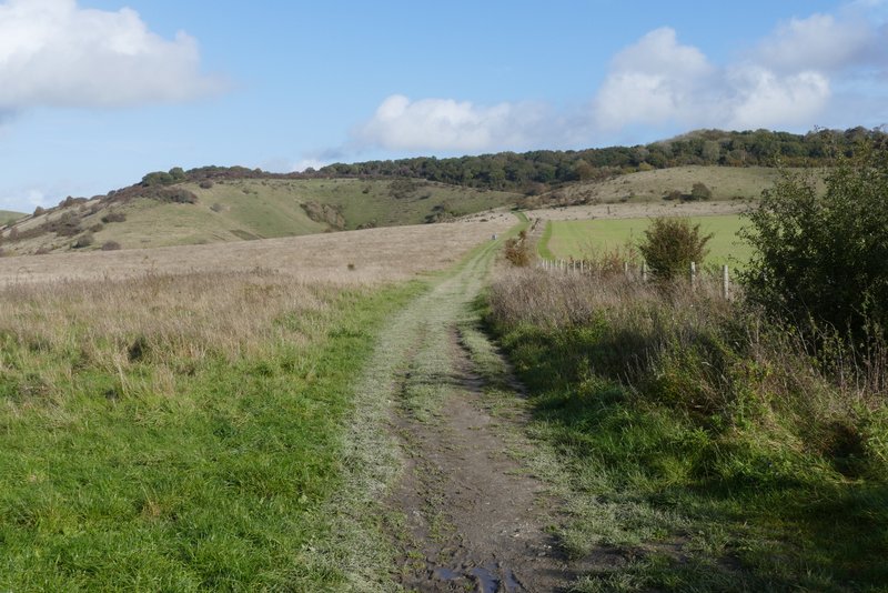
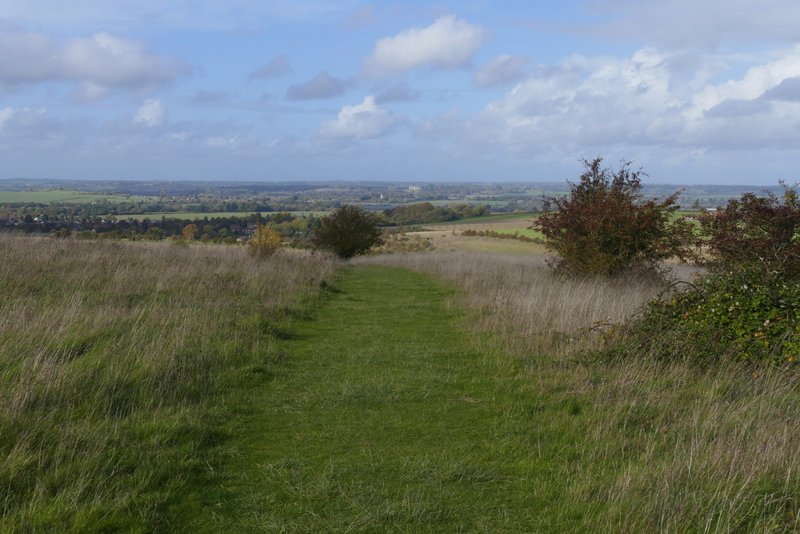
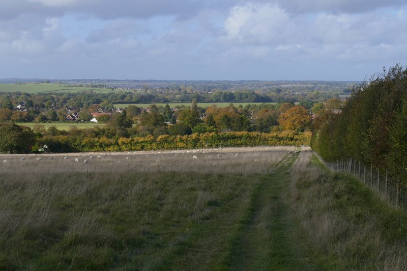
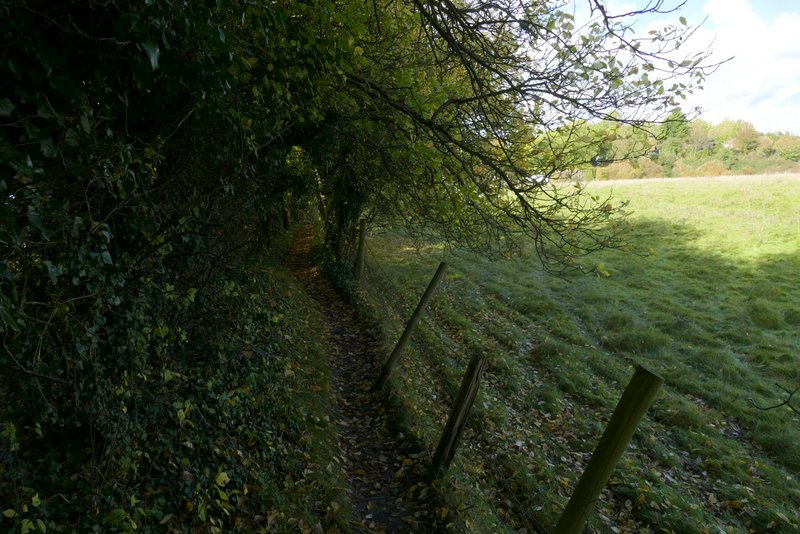
When the field to my right ended I reached a path crossroads, where I parted from the Ridgeway by turning left (the path I took initially had one or two bushes to my right, there was an almost parallel path just the other side of them). The path ran through the grassland, with the lower part of the valley of Incombe Hole to my right. After going through a gate, the path turned half-left to the end of a hedge and fence, then turned half-right to continue gently downhill through a huge field of rough grass. There were copious amounts of sheep droppings on the path here, but no sign of any sheep. But when the path joined a hedge on my right, and started to descend slightly more steeply, the sheep came into view (they must be used to people, the ones on or near the path only moved a yard or two away as I went past). There was a nice view ahead of me now, over part of the Vale of Aylesbury. The path then went through a gate in a field corner, and continued between a hedge on my left and a fence for two or three hundred yards until it met a road.
The start of the path to Ivinghoe, after I turned left at a path crossroads at the foot of Steps Hill
The path to Ivinghoe
The path to Ivinghoe
The path to Ivinghoe
The path to Ivinghoe