Pete's Walks- Ivinghoe and Aldbury (clockwise) (page 4 of 4)
If you are considering walking this route yourself, please see my disclaimer. You may also like to see these notes about the maps and GPX files.
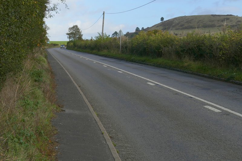
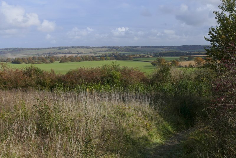
I turned right along the road to reach a road junction, where I turned right (there was a pavement on the far side of the road). This was the only tiresome bit of the route, but I only had to follow the road fairly gently uphill for about a third of a mile, until a tree-lined farm drive came in on the left and I took a footpath on the other side. This path went through a couple of small enclosures, and then continued beside a headland separating two very large arable fields with one or two bushes dotted along it. The path ran in a straight line heading southeast for about half mile.
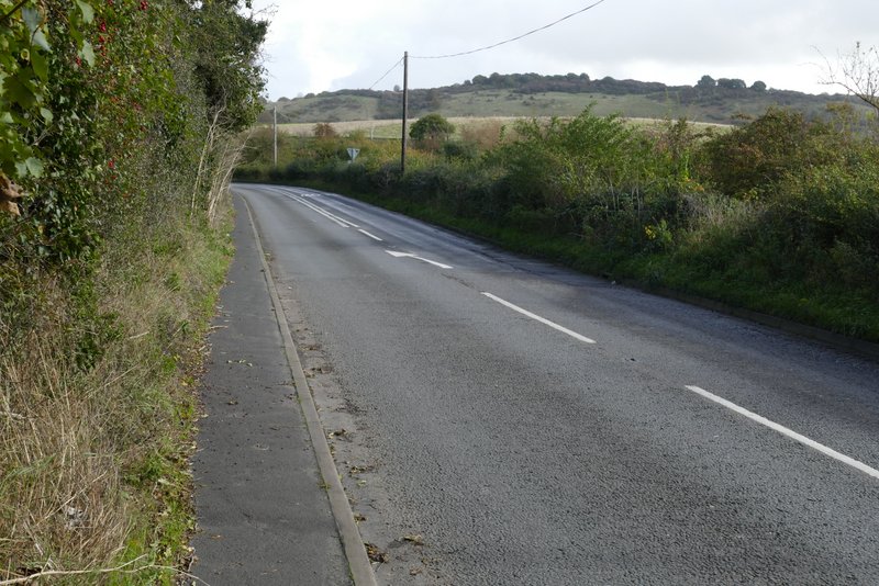
The road from Ivinghoe
The road from Ivinghoe, heading towards Ivinghoe Beacon
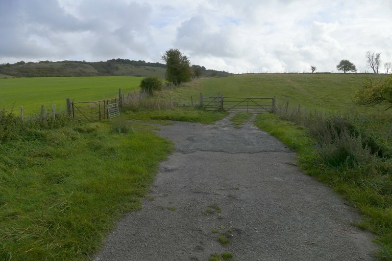
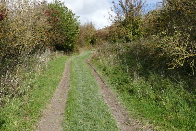
The start of the path after I turned right from the road

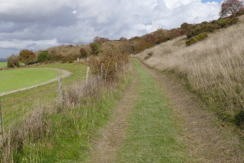
The path after I turned right from the road

The path after I turned right from the road
On eventually reaching the far side of the fields, I went through a gate and turned left along the bottom of a steep slope (part of Steps Hill). After two or three hundred yards, I went through a gate and joined a track going slightly right. This rose gently over a scrub covered hillside - unusually it seemed less steep and shorter than I remembered. The last part of the track was mainly chalky, which was wet and rather slippery. The track ended at the road that runs to the west of Ivinghoe Beacon. I crossed over and turned right, alongside the road. I crossed over a couple of tracks and went straight on by a fingerpost, this path soon coming to a path crossroads. Here I turned right, and followed the path a few hundred yards gently uphill to return to the car park where I'd started. This last section from Ivinghoe had seemed easier than I'd been expecting, all at a very gentle gradient except for a few yards through the two enclosures after I turned off the road.

The same path after it turns left at the bottom of Steps Hill
Further along the same path
The same path after it joins a track

Further along the track, going gradually uphill

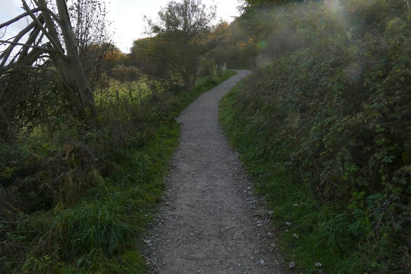
The path after crossing the road (it goes straight on between the two signs on the skyline)
The same path after passing a fingerpost, with a view ahead to the Whipsnade Downs
The path back to the Ivinghoe Beacon car park

The path back to the Ivinghoe Beacon car park
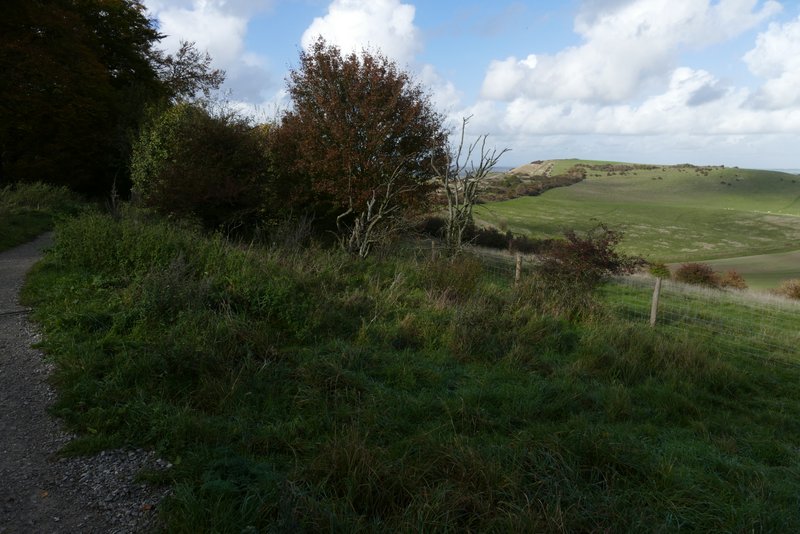
View back towards Ivinghoe Beacon from near the car park
This had been a superb day for a walk, with generally blue skies apart from a few grey clouds just after I turned off the road from Ivinghoe. The light must have been good for photography, my photos generally came out better than I'd expected. The walk took me three hours and 15 minutes, a quarter of an hour less than when I walked the route in the opposite direction in March - I don't think I'm any fitter, I think it's because the uphill sections are at slightly easier gradients this way round. The views are better too, especially along the path descending to Ivinghoe, so if I do this route again I'm sure I'll do it in this clockwise direction.
I really enjoyed the walk, but I'm not sure I'd recommend it to someone less familiar with this part of the Chilterns. Someone walking in this area for the first time would surely want to visit the tops of Ivinghoe Beacon and Steps Hill, which this route studiously avoids.