Pete's Walks- Cholesbury, Marlin Chapel, Ashley Green (page 4 of 4)
If you are considering walking this route yourself, please see my disclaimer. You may also like to see these notes about the maps and GPX files.
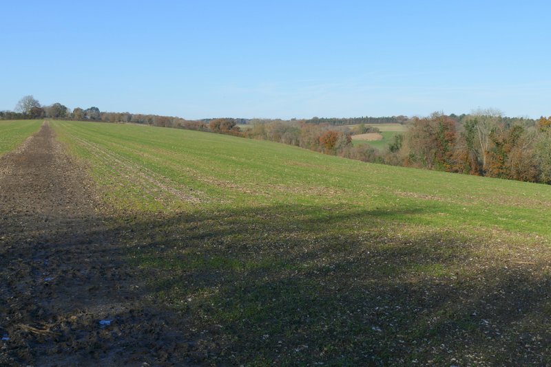
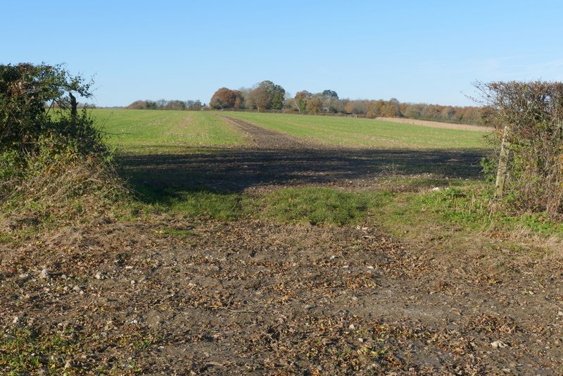
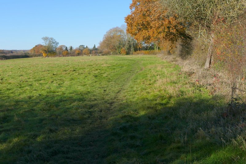
I turned left along the road for two or three hundred yards, before turning right onto a footpath. This was soon running gently uphill through a long thin meadow. At the end of the meadow I went through a metal kissing-gate in the right-hand corner, this path going uphill a little further before levelling out as it ran along the right edge of an arable field. The path turned left in the field corner, then turned right at a wide gap in the hedgerow. The path then followed the top of a broad ridge with valleys either side for about a mile, through two enormous fields. A couple of Buzzards flew up from the first field. The path then continued along the right edge of a meadow. Partway through a second meadow (by a brick-and-flint barn) I turned right to reach Hawridge church and a short lane leading to a road.
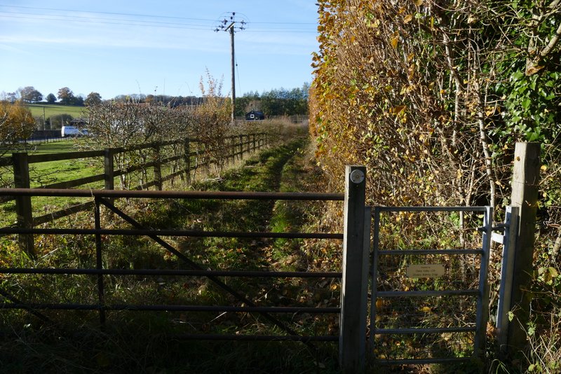
The start of the path past Bower's Farm, when I turned right from the road through Chesham Vale
The path past Bower's Farm
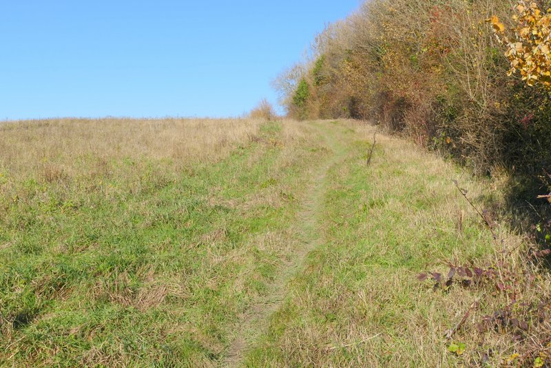
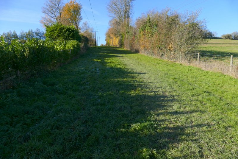
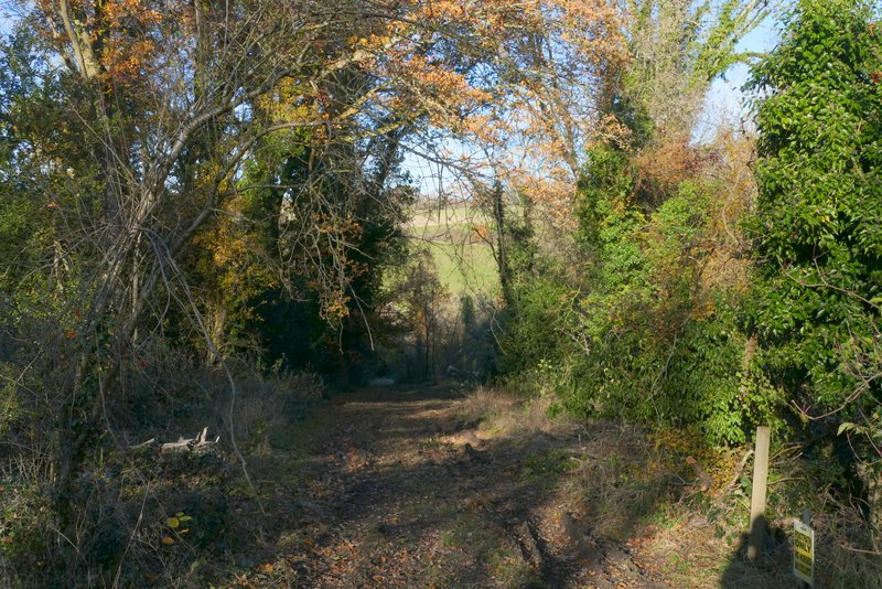
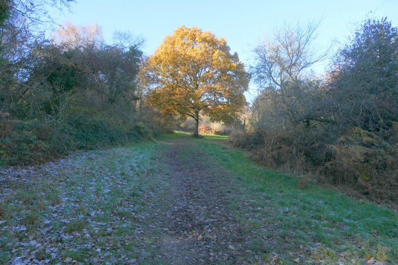
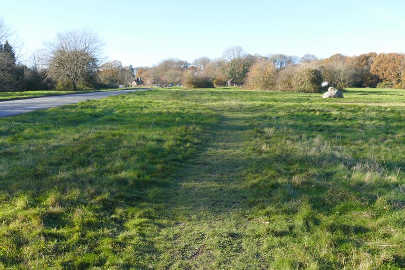
The start of the path after I turned right, heading to Hawridge
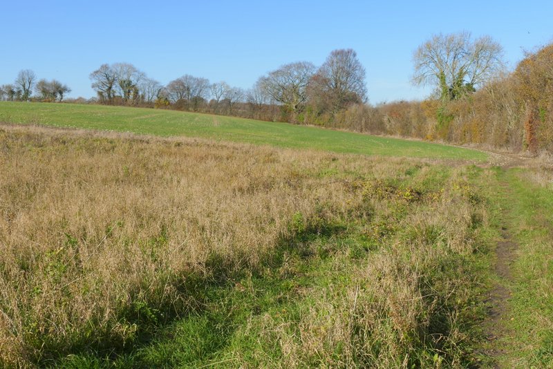
The path to Hawridge
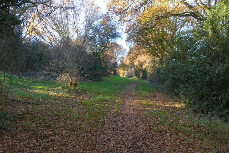
The path to Hawridge
The path to Hawridge
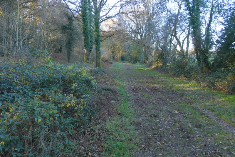
The path to Hawridge
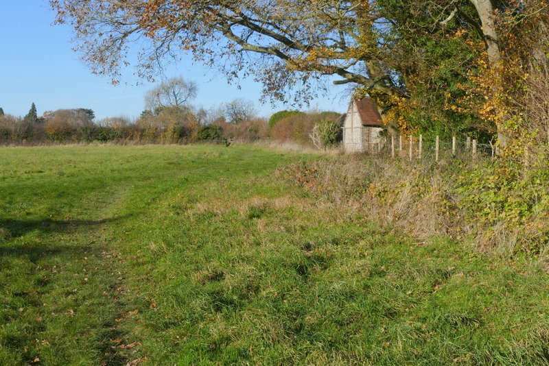
The path to Hawridge (I turned right by the brick-and-flint barn)
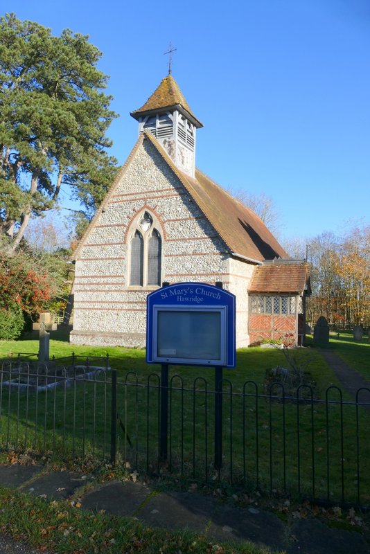
Hawridge church
Across the road, a footpath dropped downhill through Hawridge Common. At the valley bottom I turned left along a lane, but soon forked right from it onto a bridleway, that started along a drive in the valley bottom. At the end of the drive I continued on along the valley with Hawridge Common sloping up to my left. When I reached a lane, I went a few yards left then continued along a bridleway on the other side. This continued along the valley bottom, still with the common sloping up on the left. Somewhere along here the common became Cholesbury Common. After a few hundred yards, I forked left along a small belt of grass, soon turning half-left again to go straight uphill a short way through the common then turned right along the road through Hawridge and Cholesbury to return to where I'd parked.
The path on Hawridge Common after I crossed the road
The bridleway on Hawridge Common
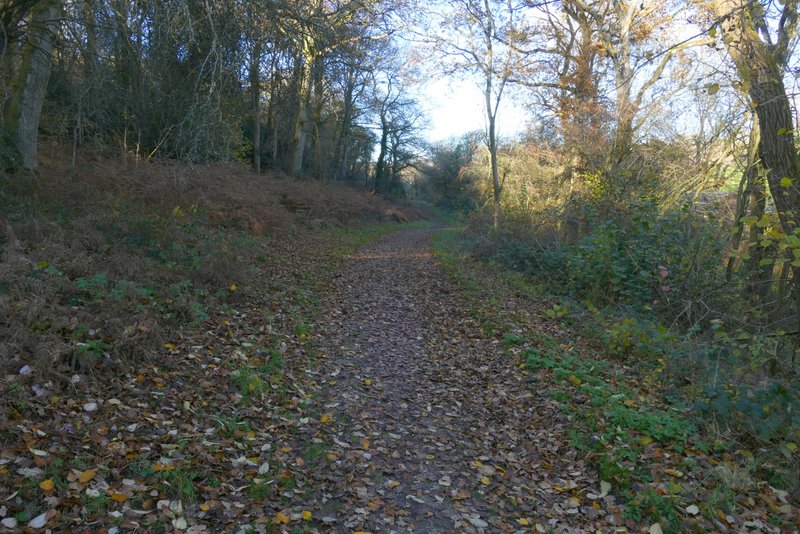
The bridleway on Hawridge Common
The bridleway on Hawridge Common
The bridleway on Hawridge Common, after crossing the lane
The same bridleway, now on Cholesbury Common (I think)
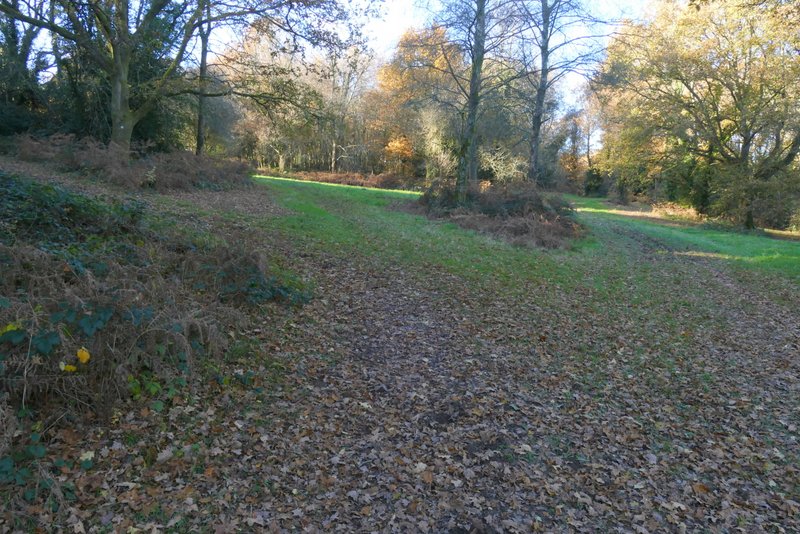
The bridleway on Cholesbury Common, where I turned half-left and half-left again to go uphill to the road
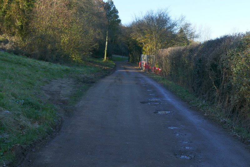
The road through Cholesbury
This had been a beautiful day with scarcely a cloud in the sky, though quite cold for November - there was still ice on some puddles in the shade near the end of the walk and still some frosty leaves on Hawridge Common. The 9.5 miles seemed to go by very quickly and I completed the walk in three hours and 40 minutes. That's an average of 2.6mph, much more like my old speed rather then the snail-like 2.2mph I usually seem to do nowadays. I think this was because of the terrain - it certainly wasn't flat, there were numerous ups and downs, but there weren't any steep slopes which slow me down nowadays. It's probably not the most interesting of routes, with pleasant rather than fine views and less woodland than most Chiltern walks, but I'd be very happy to walk it again.