Pete's Walks- Cholesbury, Kingsash, Chartridge (page 4 of 5)
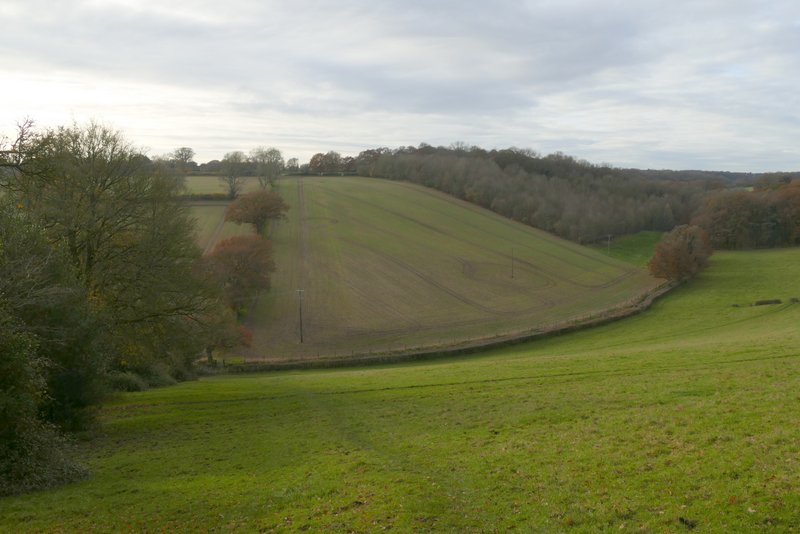
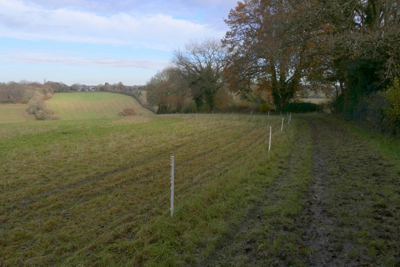
I soon reached a path junction, where I turned left. As I did so I spotted a Fox in the middle of a field, but I messed up getting a photo of it by leaving my camera on the wrong setting (not for the first time!). The path went quite steeply downhill beside a hedgerow on my right. In the valley bottom I crossed a bridleway running along a track, then followed the path up the other side of the valley through an empty pasture. It went straight up, and it was steep! I've just compared it on the OS maps with Hollicks Lane in my home village of Kensworth which is shown as 1-in-7 or steeper, and this must be about 1-in-5 or even 1-in-4. I gradually plodded my way up, just staring at the ground in front of me - the first time I looked up, I hardly seemed to have made any progress at all! At least I had the incentive of knowing I'd be having my lunch near the top. It took me four minutes to reach the top of the slope (measured by the times of my photos at the bottom and top), and it was by far the steepest slope I've been up for a very long time. The path then ended at a bend in a bridleway, where I went straight on. The bridleway soon ended and I continued on along Cogdells Lane in Chartridge. There was soon a children's play area on the left with a seat by it, where I stopped to eat my lunch (I knew it was here, having had my lunch here a couple of times previously).
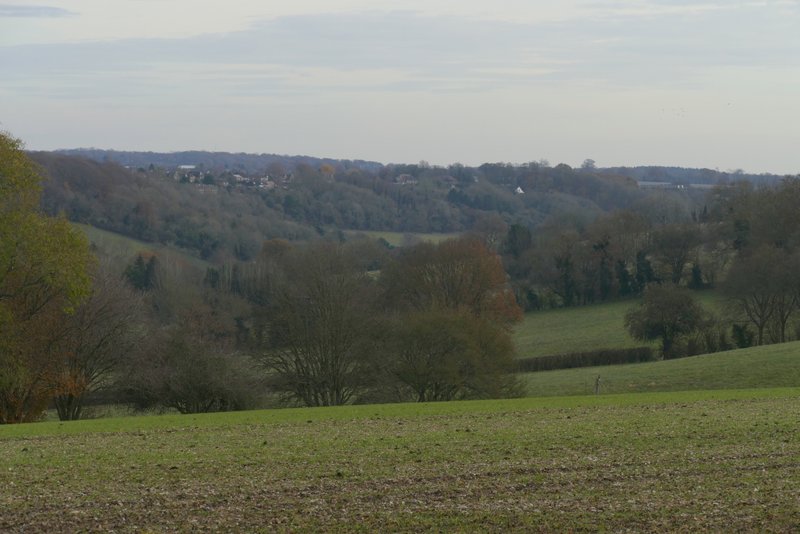
View from near where I turned left, on to a path heading to Chartridge
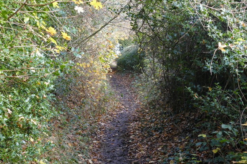
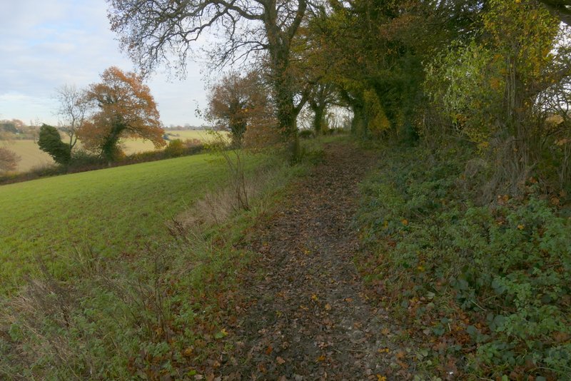
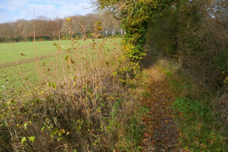
The path going to Chartridge
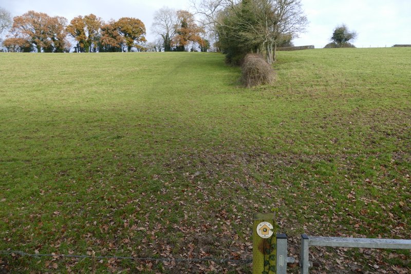
The path going to Chartridge (this was a bit steeper and longer than it looks)
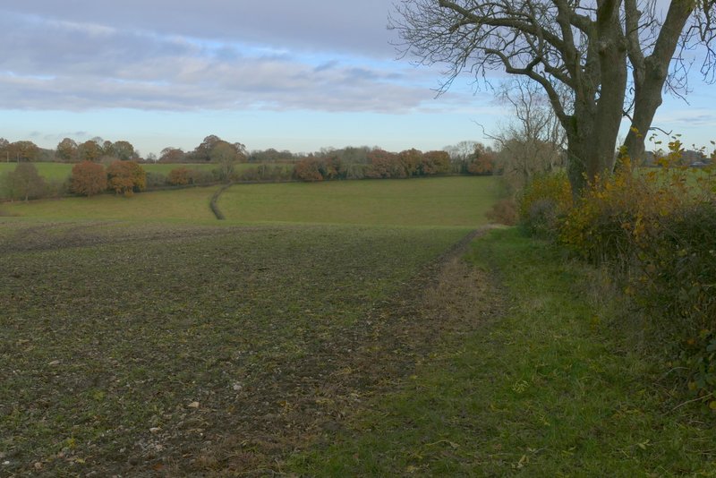
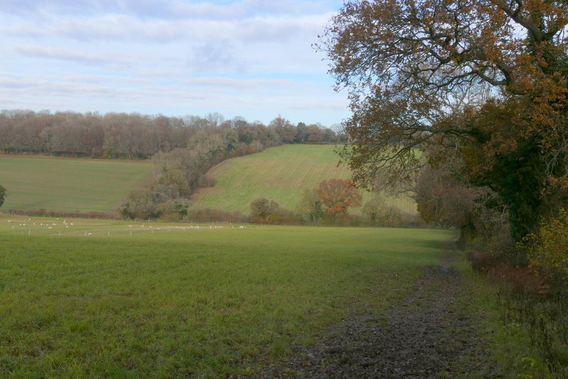
View back along the path going to Chartridge
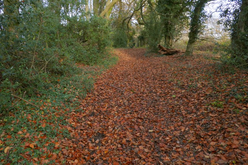
The path going to Chartridge
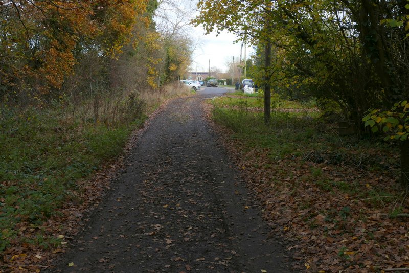
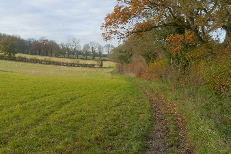
Entering Chartridge
At the end of Cogdells Lane I turned left along the road through Chartridge. After about a quarter of a mile I turned right along a bridleway, which would take me to Asheridge. This was initially gravelled as it skirted around a property on my left. The bridleway was then soon running between overhanging hedgerows either side. It then continued along the right edge of a huge field, briefly turning half-right and then straightening again, and then turning right and left in quick succession - by this time it was dropping down into a valley. In the valley bottom it turned left for one or two hundred yards, before turning right and going up the other side of the valley (a gentler slope than the previous uphill!). After a while I had Braid Wood on my left, and near the top of the slope I took a footpath going left into the wood.
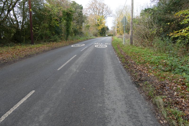
The road through Chartridge
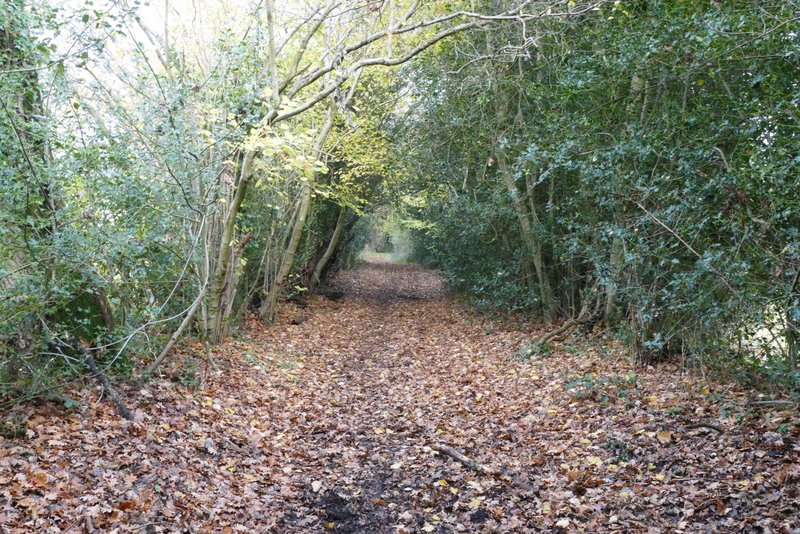
The bridleway to Asheridge
The bridleway to Asheridge
The bridleway to Asheridge
The bridleway to Asheridge
The bridleway to Asheridge, after it turns left in the valley bottom
The bridleway to Asheridge
The bridleway to Asheridge, just before I turned left into Braid Wood