Pete's Walks- Cholesbury, Kingsash, Chartridge (page 5 of 5)
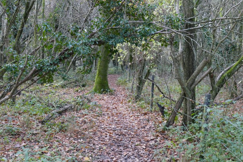
The path almost immediately went through a group of large wooden cabins, and then I remembered that this was a Scout camp (a few weeks ago when a walk took me past the World War I practice trenches on Berkhamsted Common, I had a long chat with a gentleman there about wildlife sites in the Chilterns and he mentioned something nearby). To be honest, I didn't find the path through the wood very easy to follow after the cabins, but the wood became quite narrow after a while so it wasn't then hard to pick up the right trail (there were a couple of yellow arrows on the trees).
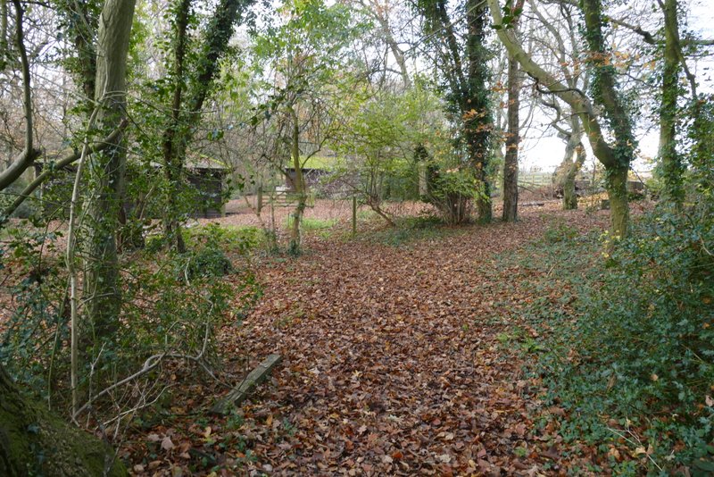
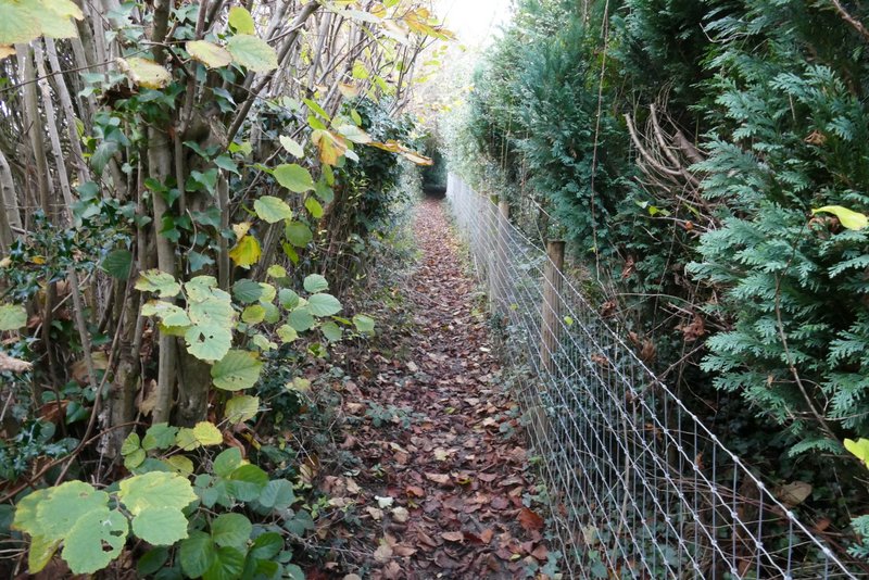
The path through Braid Wood, approaching the Scout camp
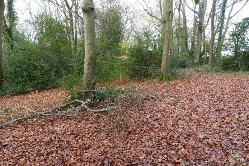
The path through Braid Wood
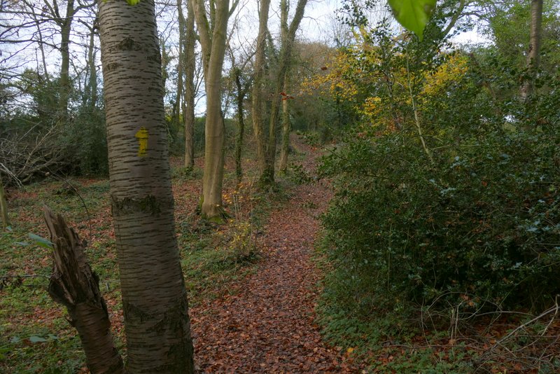
The path through Braid Wood
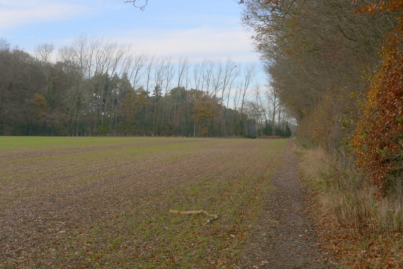
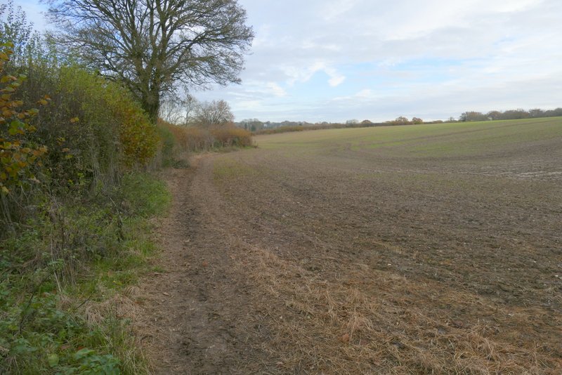
The path led to a corner of the wood, where a path went off to the right through fields (I'd come that way on my Cholesbury, Great Hivings, Chartridge End walk 12 day ago), but I went straight on a few yard to reach a bridleway (Ashotts Lane) at a bend. I turned right (more or less straight on), the bridleway soon turning right and following a very muddy farm track to Asheridge Farm (I only came this way because I'd not walked it before, if I did this walk again I would probably use the path going right from the corner of Braid Wood, and turn left along the road it ended on). The bridleway went left and then right as it went through the farmyard and continued down the farm drive.
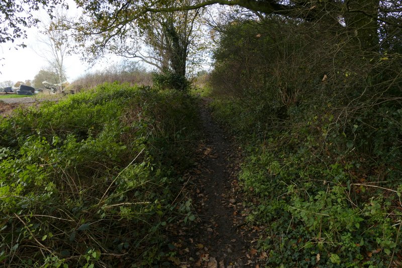
Ashott's Lane
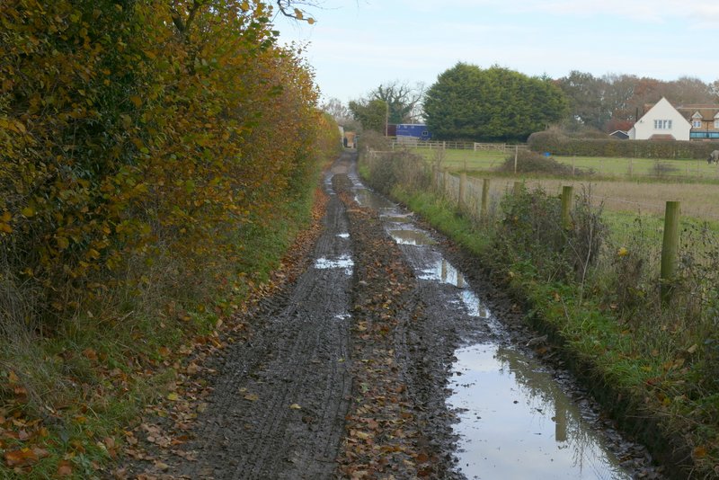
Ashott's Lane, approaching Asheridge Farm
Ashott's Lane, after going through Asheridge Farm
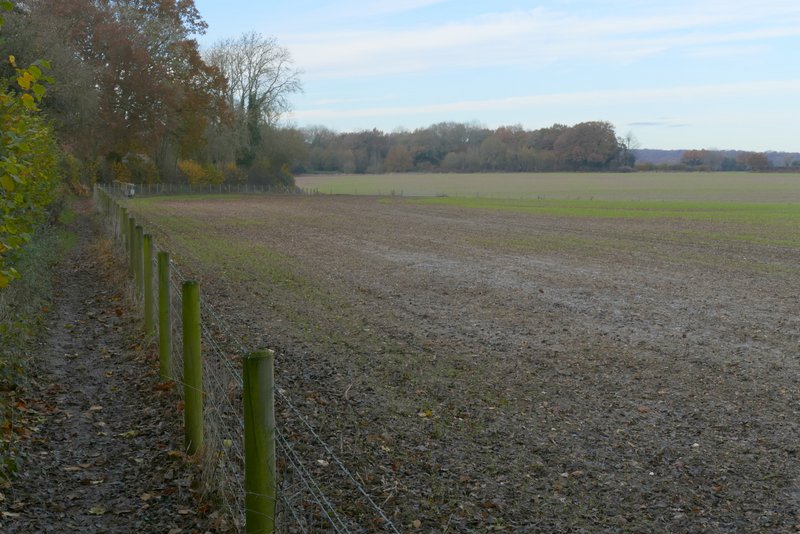
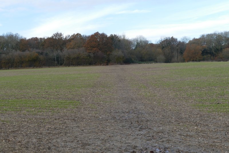
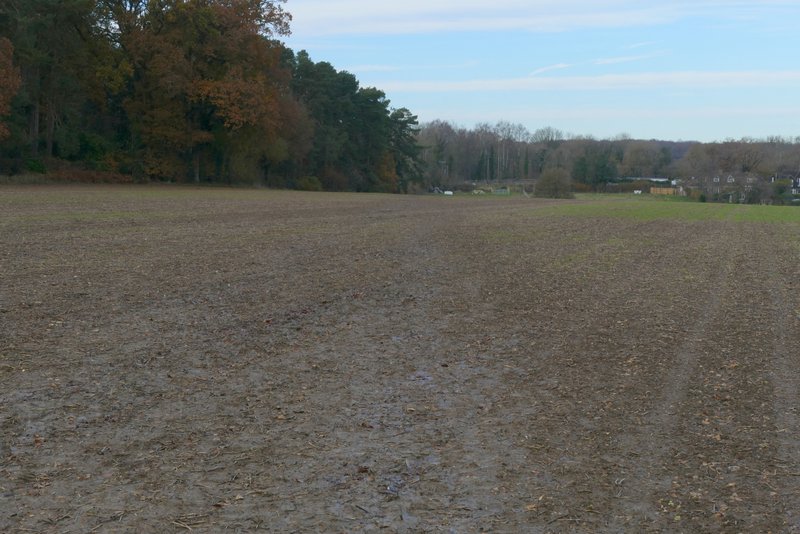
Shortly before the drive reached a road I turned left onto a footpath (part of the Chiltern Heritage Trail). This ran past a garden on the right and continued between a hedgerow and a fence on the right. It crossed a farm track (and bridleway) and continued beside a hedge on the left. It stayed beside the hedge when it turned left and then right (another bridleway was crossed here), but when the hedge turned left again the path continued straight on across part of an enormous field to reach a wood. The path went half-left through the wood, then turned right to follow the edge of the wood to reach a road.
The path from near Asheridge Farm
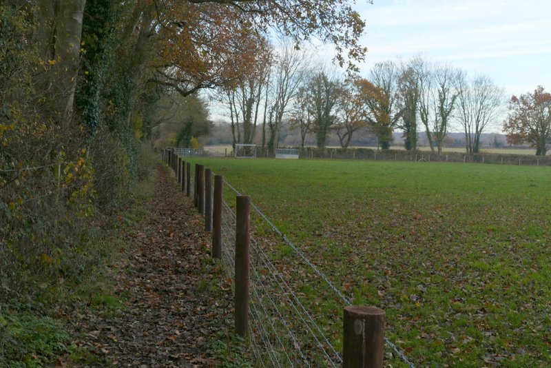
The path from near Asheridge Farm
The path from near Asheridge Farm
The path from near Asheridge Farm
The path from near Asheridge Farm
The path from near Asheridge Farm
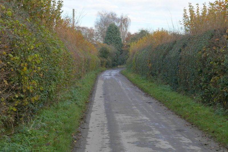
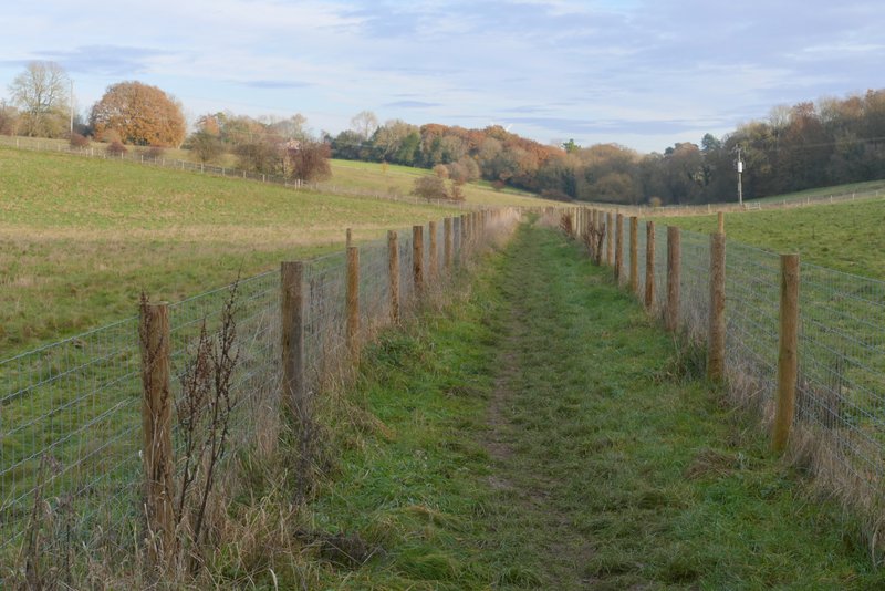
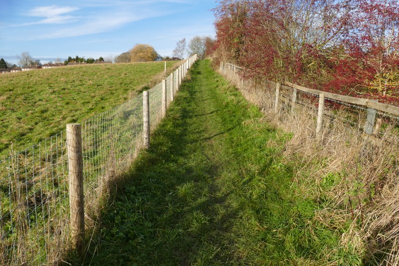
A few yards to the left, a path continued on the other side. It hadn't been re-instated after ploughing, so I just aimed at the distant far left corner - most of the way there were footprints were other walkers had been before me. It wasn't too muddy, and was gently downhill. In the corner I turned right, and followed a path along the valley bottom. After two ploughed fields to my right, the path continued between fences with paddocks or pastures either side. I then turned left and followed a path gently uphill between fences (and a few bushes on the right) to reach the road through Cholesbury, where I turned right and retraced my steps back to my car.
The path to Buckland Common, after crossing the road
The path after I turned left near Buckland Common
Further along the same path, now near Cholesbury (shortly before I turned left)
The path up to Cholesbury
I didn't have too high hopes for this walk, as it was only an exploratory walk to try out some paths I'd not walked before. But I enjoyed it more than I thought I would, despite the very muddy conditions and despite obviously needing to refer to my map far more frequently than usual (I always take the relevant OS map with me, but on most walks I only need to check it once or twice). I can see that I could use a few of the 'new' paths on other routes in the future, particularly the section from Bellows Wood to Chartridge and the bridleway from Chartridge to Asheridge. I'd be happy to do the walk again, but would miss out the bridleway through Asheridge Farm (as described above) - in fact, I might miss out the path through Braid Wood too, and just follow the bridleway from Chartridge to its end and turn left along the road to reach the end of the Asheridge Farm drive.